Parking
Roadside access is on Ceunant Street below YHA Snowdon Llanberis. Park legally, keep gates and farm access clear, and use a Llanberis car park if roadside spaces are unavailable.
Eryri National Park, WA
A steep start, then a three-summit ridge high above Cwm Dwythwch
Overview
Map & elevation
Plan your hike

The highest, rockiest slopes around here are a summer buffet for grizzly bears.
Eryri Tour Guide
Parkwolf is a GPS audio tour guide for Eryri National Park. As you drive, it chimes in with what’s ahead: hidden gems, upcoming stops, history, geology, and wildlife, right through your car’s speakers.
Recorded for this area
Llanberis and Llyn Padarn“You're approaching Llanberis, the village beside Llyn Padarn where a mountain day and a short lakeside visit can start from the same streets.”
Plays on the road 0.9 km from the trailhead in the Parkwolf Eryri Tour Guide.
More stories near here in the app
“Fantastic app with many points of information… It’s great to just turn on while you’re driving and it gives you an audio tour of the national Park. We love it!!!!”


Trail guide
A complete circular horseshoe around Cwm Dwythwch, 12.0 km (7.45 miles) total with about 715 m of ascent and 717 m of descent. Most walkers take 4 to 5 hours. It is usually done anti-clockwise, starting and finishing at the same point on Ceunant Street below the YHA in Llanberis.
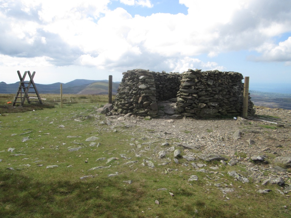
From the street you walk uphill past a farm, pick up the access road and the Snowdonia Slate Trail heading toward Bwlch-y-groes, and cross the Afon Goch on a metal bridge. Then comes the work: a steep pull beside a fence line up to Moel Eilio at 726 m, where there is a stone summit shelter. After that the day changes character. The ridge rolls on over Foel Gron and Foel Goch with several gentle ups and downs before dropping back onto the Slate Trail and the gravel track home. Get the first climb done and the rest of the horseshoe is the reward.
Call it 7 out of 10. There is no scrambling and nothing technical, but the ascent is sustained, the ground is open upland grass and rough rocky path, and it adds up to a long mountain day. Expect fences, stiles, and sections where the path is faint enough that you are reading the ground rather than following an obvious line. Carry a map and know how to use it.
After the summit shelter on Moel Eilio, keep to the correct side of the fence rather than drifting onto the edge-side line above the cwm. It is an easy mistake to make in poor visibility and the fenced side is the safer, saner walking.
Llyn Padarn and the Dinorwig quarry workings sit below you early on. From the ridge you get the Glyderau, the bulk of Yr Wyddfa and its neighbouring peaks, the Nantlle Ridge, and on clear days the Lleyn Peninsula and the Menai Strait. The three-summit line means the view keeps rotating rather than repeating.
The start is reached from roadside parking on Ceunant Street below the YHA. Park legally, do not block gates or the farm access, and leave room for residents and vehicles. Dogs are welcome, but keep them on a lead or under close control: there is livestock and open moorland ground for most of the walk.
The first climb is steep and relentless, and it comes before you have earned any views. The other catch is the finish: the descent uses a gravel track that off-road mountain bikers also use, and in summer it can be busy, so the last stretch feels less like a mountain and more like a shared right of way.
Wildlife
 77 sightingsGrey HeronMost seen around 7 AMSighting map
 17 sightingsTawny OwlMost seen around 6 AMSighting map
 32 sightingsCommon RavenMost seen around 8 AMSighting map
 21 sightingsGreat Spotted WoodpeckerMost seen around 7 AMSighting map
 18 sightingsEuropean RabbitMost seen around 7 AMSighting map
 161 sightingsViviparous LizardMost seen around 10 AMSighting map
Sighting maps show where each species has been reported across Eryri. Wildlife moves, so no sighting is guaranteed.
Keep exploring
 ChallengingLlanberis Path14.5 km · 7 hr · 0.8 km awayNine miles of steady, unrelenting ascent to the highest summit in Wales
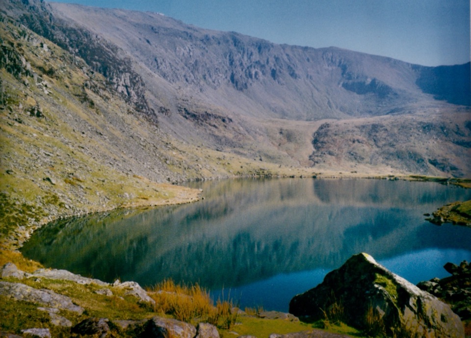 ChallengingSnowdon Ranger13 km · 6 hr · 4.8 km awayA quieter western climb to Yr Wyddfa, gentle at first then relentless
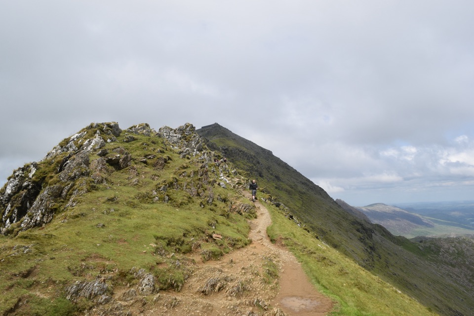 ChallengingRhyd Ddu Path12 km · 6 hr · 7 km awayA steep ridge climb to Yr Wyddfa, 12 km there and back
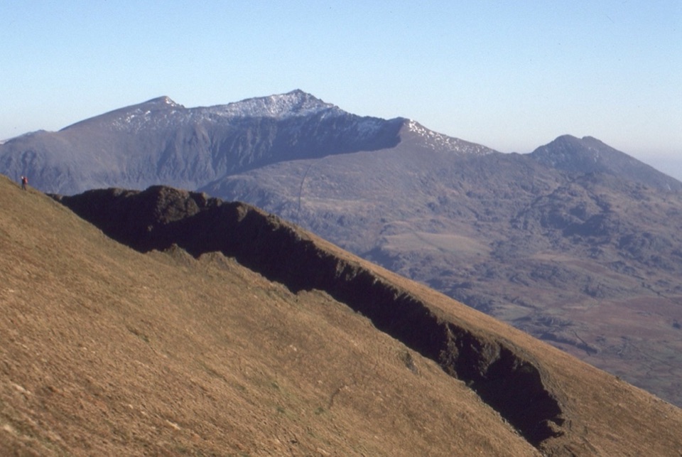 ChallengingNantlle Ridge12.2 km · 6.5 hr · 7 km awaySix quiet summits and Grade 1 scrambles on a one-way ridge
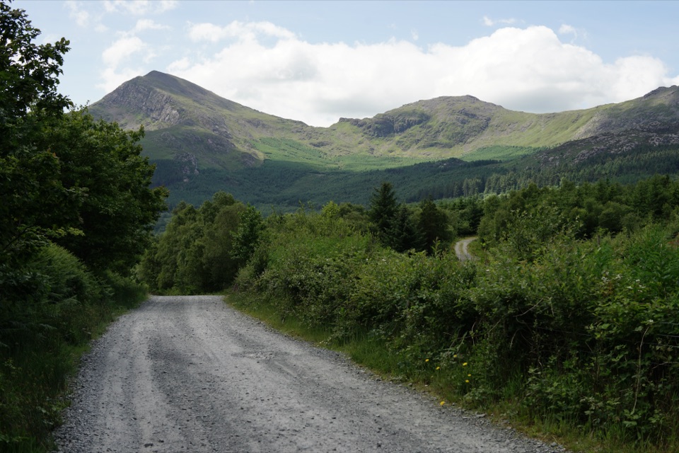 EasyLôn Gwyrfai7.2 km · 3 hr · 7.3 km awayEasy valley path linking Rhyd Ddu and Beddgelert with Yr Wyddfa views
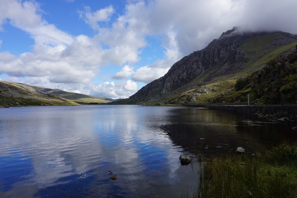 ModerateLlyn Ogwen Circular Walk4.7 km · 1.5 hr · 7.5 km awayBoulder-hopping lakeshore loop under Tryfan, back on the roadside pavement
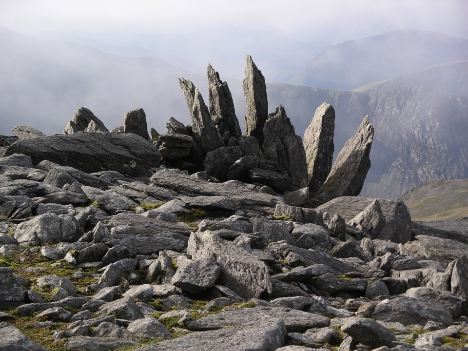 ChallengingGlyder Fawr and Y Garn via Devil’s Kitchen8.9 km · 5 hr · 7.5 km awayGlacial lake, dark cliffs, two 900m summits on one hard rocky loop
 ModerateCwm Idwal Walk4.8 km · 3 hr · 7.5 km awayGlacier-carved bowl, stone lakeside path and the Devil's Kitchen headwall
 Sight · 0.6 km awayLlanberisA lakeside mountain base with slate heritage and two railways
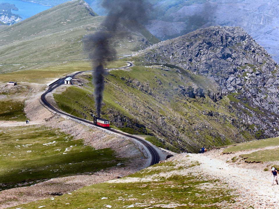 Sight · 0.8 km awaySnowdon Mountain RailwayHistoric rack railway grinds past waterfalls to the Welsh summit
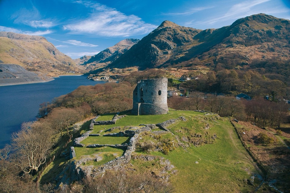 Sight · 1.2 km awayDolbadarn CastleLlywelyn's slate-walled round tower guarding the Llanberis Pass
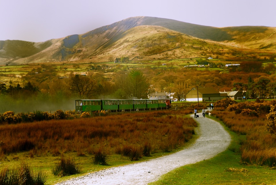 Sight · 1.3 km awayLlanberis Lake RailwayA steam ride threading Llyn Padarn, slate country, and mountain views
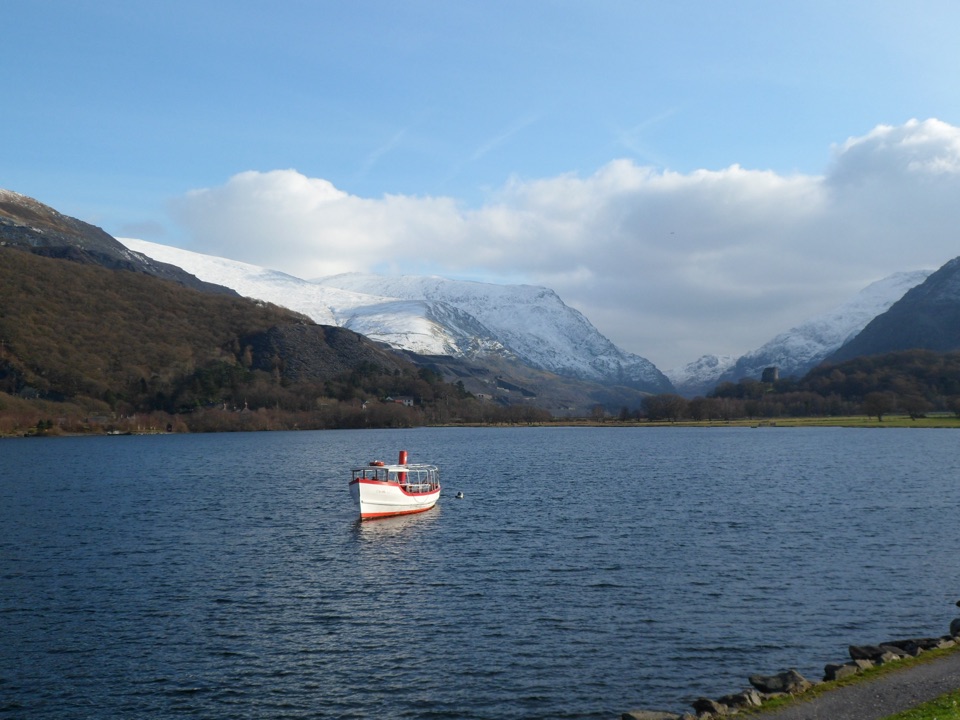 Sight · 1.5 km awayLlyn PadarnA mountain-ringed lake with slate history and wild-swimming appeal
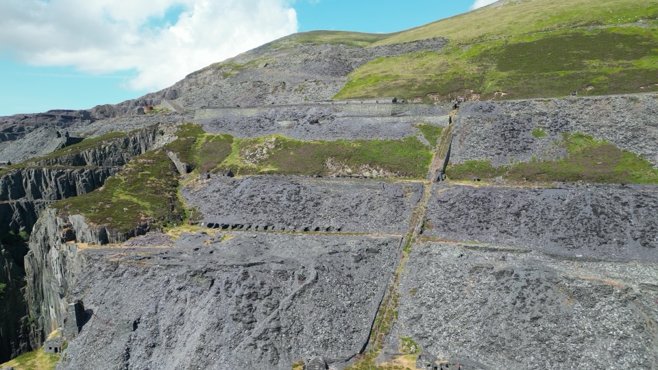 Sight · 2.5 km awayDinorwig Slate QuarryThirty galleries of abandoned slate terraces high above Llyn Padarn
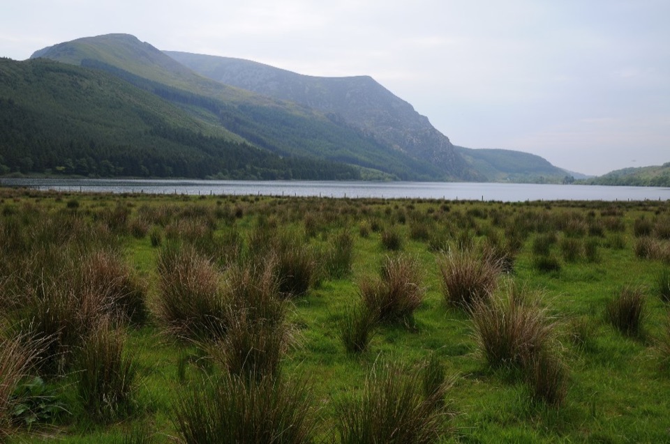 Sight · 5.1 km awayLlyn CwellynA quiet mountain lake with a rare accessible boardwalk
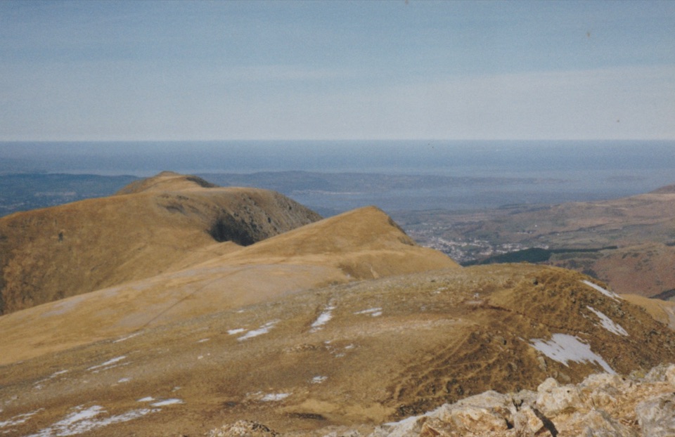 Sight · 5.7 km awayY Garn (Glyderau)A 947-metre summit with a front-row view of the Glyderau
Parkwolf’s Eryri ranking

The audio tour guide for the drive, plus offline maps, trails, and wildlife heatmaps for when the signal drops.


