Parking
Craflwyn National Trust car park, off the A498 before Beddgelert; the loop starts from the car park.
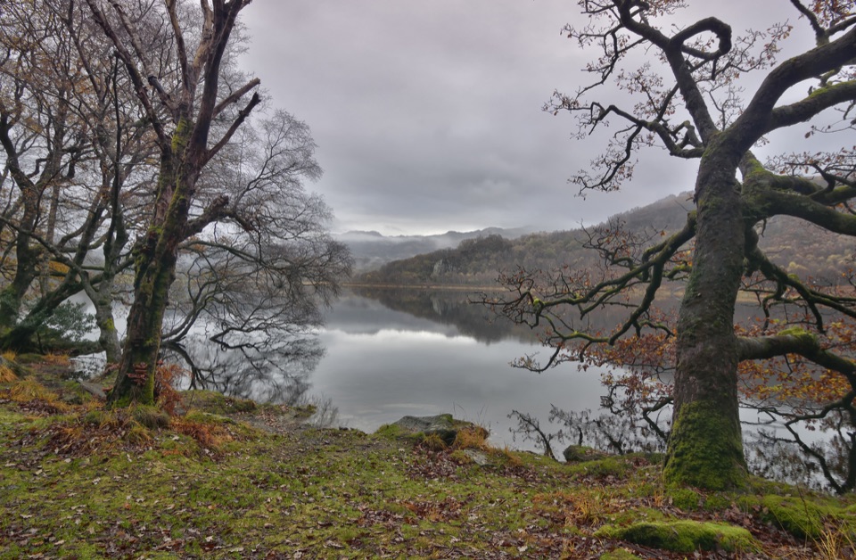
Eryri National Park, WA
Oak woods, waterfalls and open heath on a loop to Llyn Dinas
Overview
A circular walk of 10.4 km (6.5 miles) for the full loop, starting and finishing at the Craflwyn National Trust car park. Allow 3 to 4 hours and expect a moderate grade, with a steady pull from around 50 metres near the valley floor to roughly 310 metres on the high ground, then a long descent back to the lake.
Map & elevation
Plan your hike

The highest, rockiest slopes around here are a summer buffet for grizzly bears.
Eryri Tour Guide
Parkwolf is a GPS audio tour guide for Eryri National Park. As you drive, it chimes in with what’s ahead: hidden gems, upcoming stops, history, geology, and wildlife, right through your car’s speakers.
Recorded for this trailhead
Dinas Emrys from Craflwyn“You're approaching Craflwyn, the start of the walk to Dinas Emrys, a wooded hillfort tied to Wales's red dragon.”
Plays as you drive up to this trailhead in the Parkwolf Eryri Tour Guide.
More stories near here in the app
“Fantastic app with many points of information… It’s great to just turn on while you’re driving and it gives you an audio tour of the national Park. We love it!!!!”


Trail guide
From the Craflwyn-side access the path climbs through the ancient oak woodland of Coed Craflwyn and past the Giant's Chair, then breaks out onto open heath and ffridd at Bylchau Terfyn, where the views open toward Yr Aran, Moel Hebog and Dinas Emrys. The descent joins the Watkin Path beside the waterfalls and pools of Afon Cwm Llan, drops through the lower Hafod y Llan estate, then takes lanes and a track by Llyndy Isaf to the shore of Llyn Dinas. The final stretch follows the lake and the Glaslyn downstream past Sygun Copper Mine before the road back to Craflwyn.
The climbing and descending are the real work here. Paths are steep, rocky and uneven in places, with loose stone, rocky steps, and wet or muddy sections after rain. There are several stiles and gates. Boots with grip and ankle support make a clear difference. The terrain is not step-free and is not suitable for pushchairs.
This is a mountain-valley walk rather than a flat lakeside stroll. You pay in sustained climbing, rough footing and one road interlude, and you are repaid with waterfalls, old woodland, wide summit views and a long finish along Llyn Dinas. If you want easy, level walking, choose something else; if you want variety in one loop, this earns the time.
Wildlife
 77 sightingsGrey HeronMost seen around 7 AMSighting map
 17 sightingsTawny OwlMost seen around 6 AMSighting map
 32 sightingsCommon RavenMost seen around 8 AMSighting map
 21 sightingsGreat Spotted WoodpeckerMost seen around 7 AMSighting map
 18 sightingsEuropean RabbitMost seen around 7 AMSighting map
 161 sightingsViviparous LizardMost seen around 10 AMSighting map
Sighting maps show where each species has been reported across Eryri. Wildlife moves, so no sighting is guaranteed.
Keep exploring
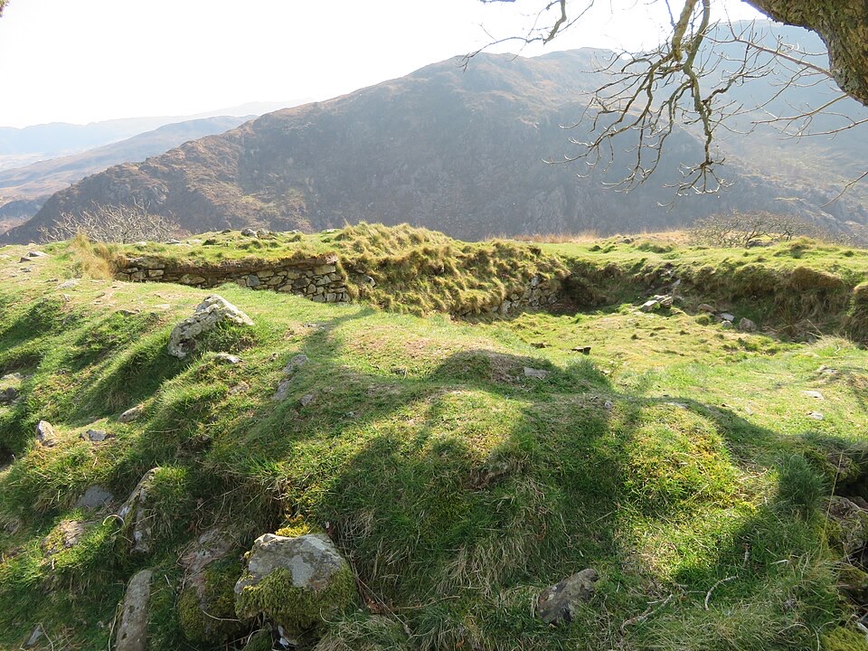 ModerateThe Legendary Trail of Dinas Emrys3.5 km · 2 hr · At the trailheadWoodland climb to a hillfort summit above Llyn Dinas and Nant Gwynant
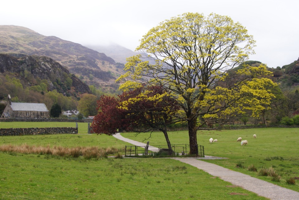 EasyGelert's Grave Walk2.1 km · 45 min · 1.2 km awayShort riverside loop to Gelert's stone memorial, with herons and dippers
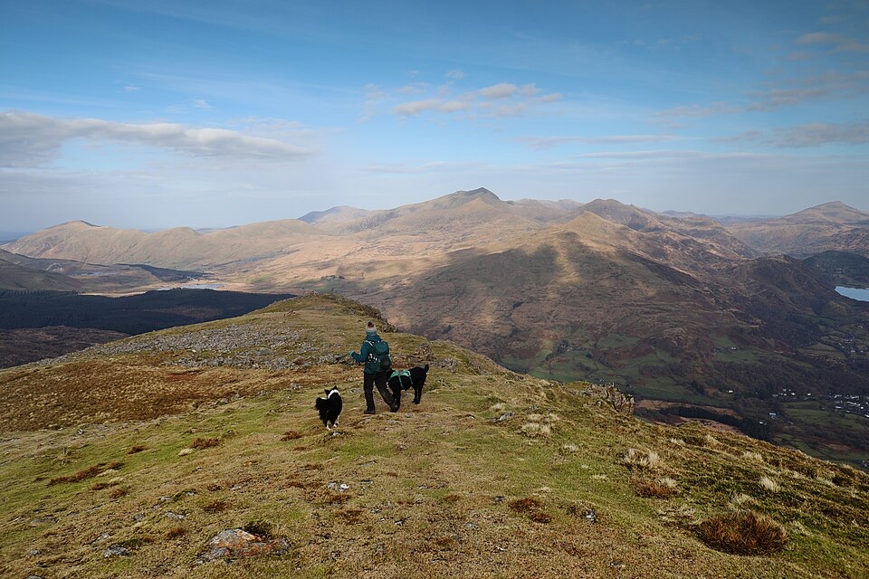 ChallengingMoel Hebog Circular10.6 km · 5 hr · 1.4 km awaySteep scree, three summits, then a forest descent back to Beddgelert
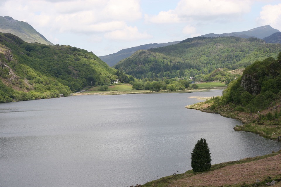 ChallengingFisherman’s Path and Cwm Bychan10 km · 5 hr · 1.4 km awayA strenuous gorge and copper-mine loop from Beddgelert village
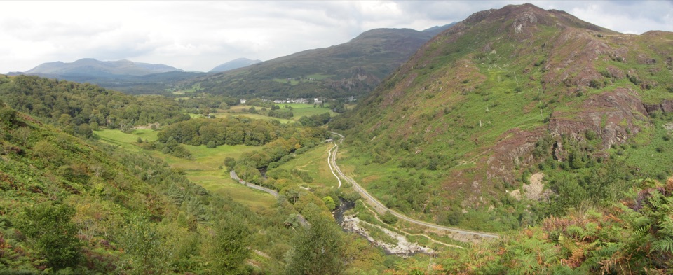 ChallengingAberglaslyn, Bryn Du and Beddgelert Walk5.6 km · 2 hr · 2.8 km awaySteep woodland climb to Bryn Du, then Gelert's grave and river paths
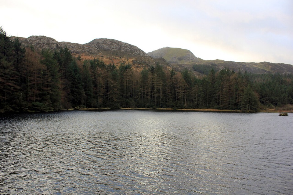 ModerateLlyn Llywelyn Walk4.3 km · 2.5 hr · 2.9 km awayForest roads climb to a hidden reservoir with Yr Wyddfa views
 ChallengingWatkin Path12.9 km · 6 hr · 3.3 km awayWaterfalls, slate ruins and a brutally steep finish to Yr Wyddfa's summit
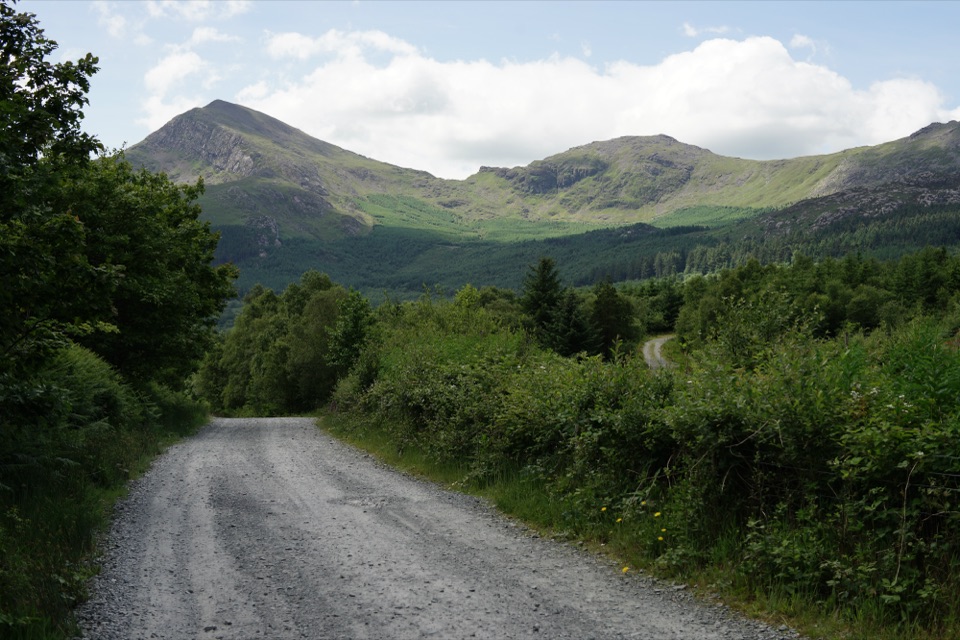 EasyLôn Gwyrfai7.2 km · 3 hr · 4.6 km awayEasy valley path linking Rhyd Ddu and Beddgelert with Yr Wyddfa views
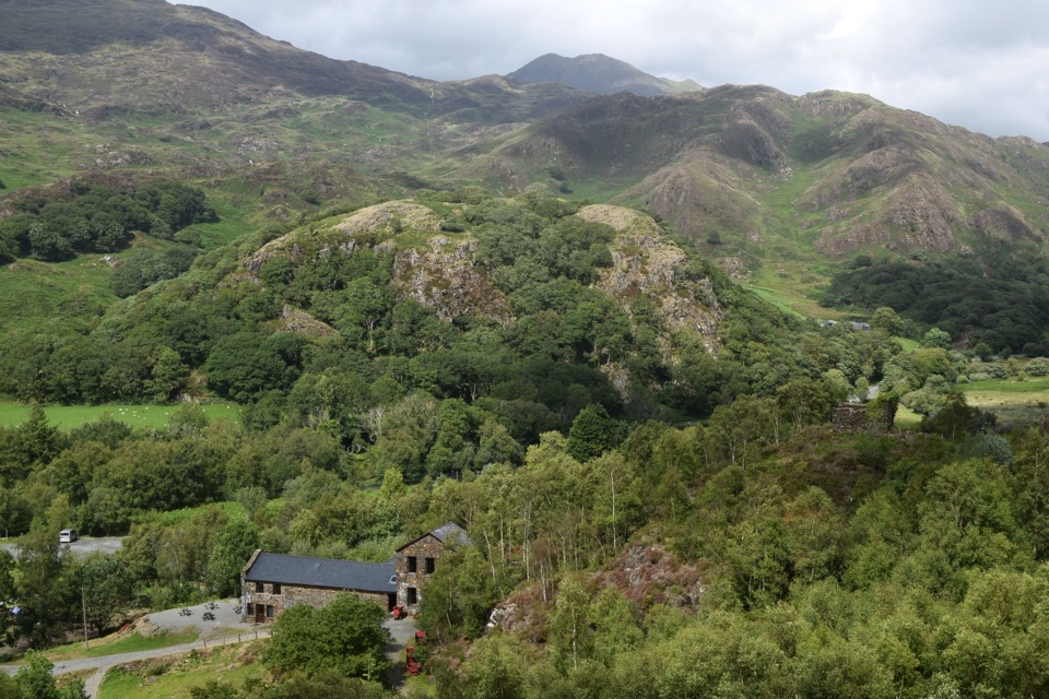 Sight · 0.6 km awaySygun Copper MineVictorian mine tunnels climb to a surprise mountain panorama
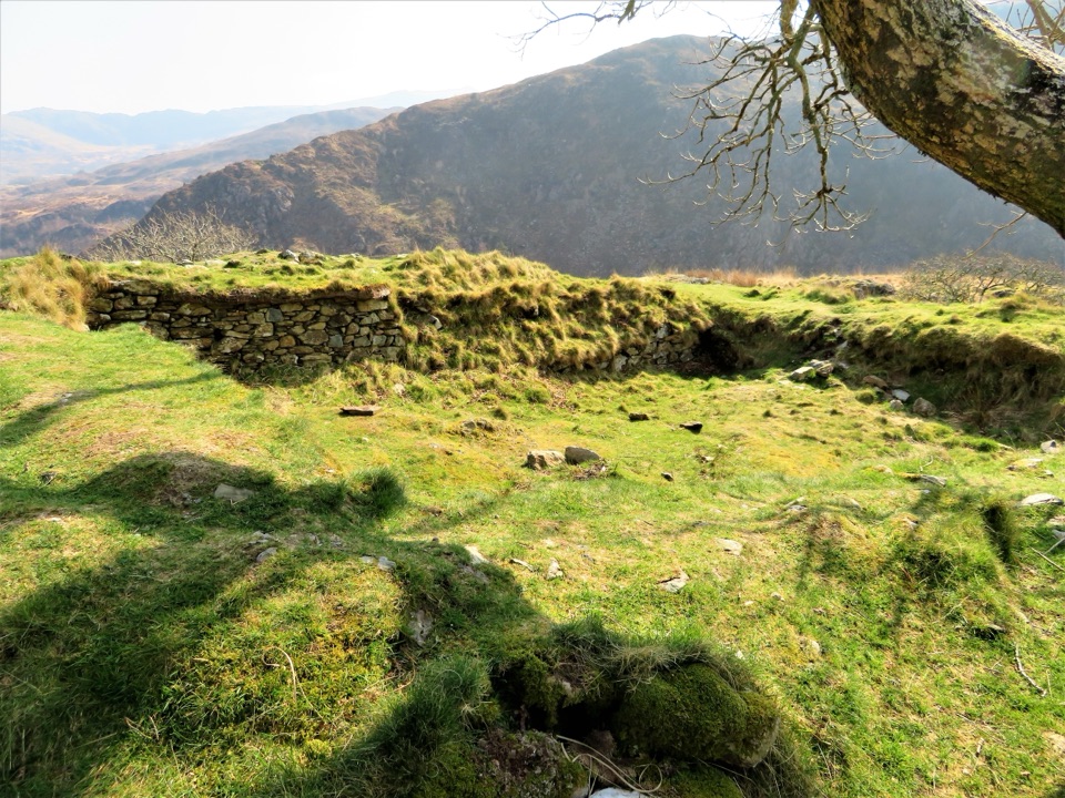 Sight · 0.8 km awayDinas EmrysA dragon legend, hillfort ruins, and a big Nant Gwynant view
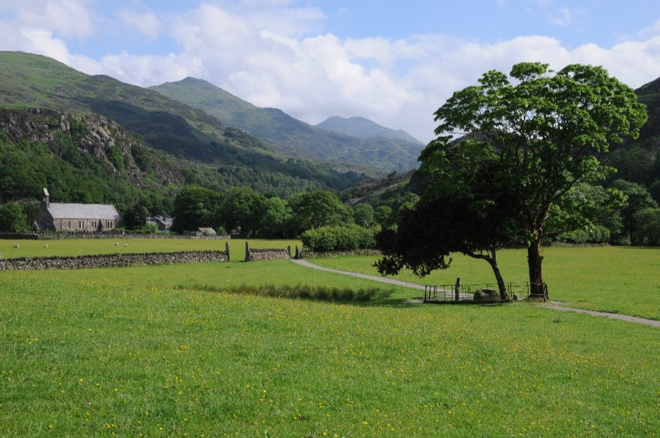 Sight · 1.2 km awayBeddgelertSlate-roofed village where two rivers meet beneath rugged peaks
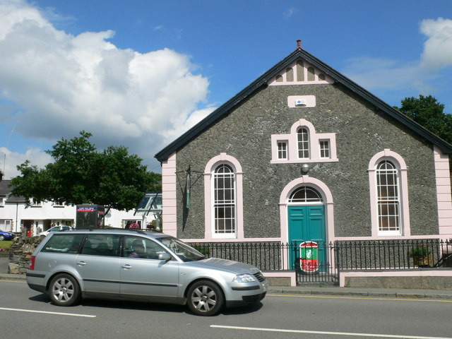 Visitor center · 1.4 km awayBeddgelert Information CentreA practical base for maps, mountain days, and Beddgelert know-how
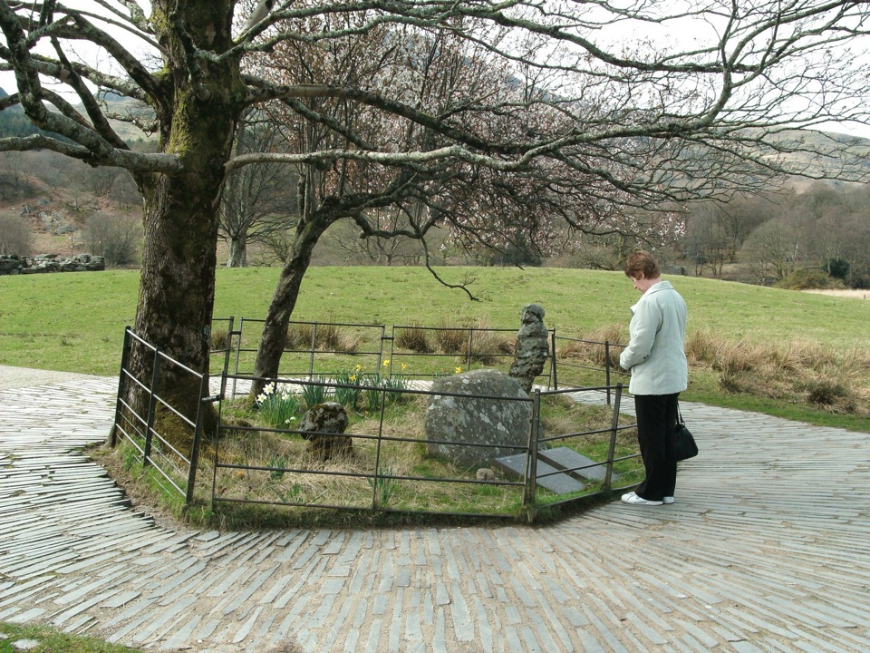 Sight · 1.5 km awayBedd Gelert (Gelert's Grave)A riverside memorial wrapped in Wales' most famous dog legend
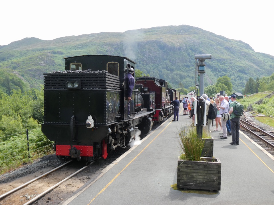 Sight · 1.5 km awayWelsh Highland RailwaySteam, mountain scenery, and a historic ride through Eryri
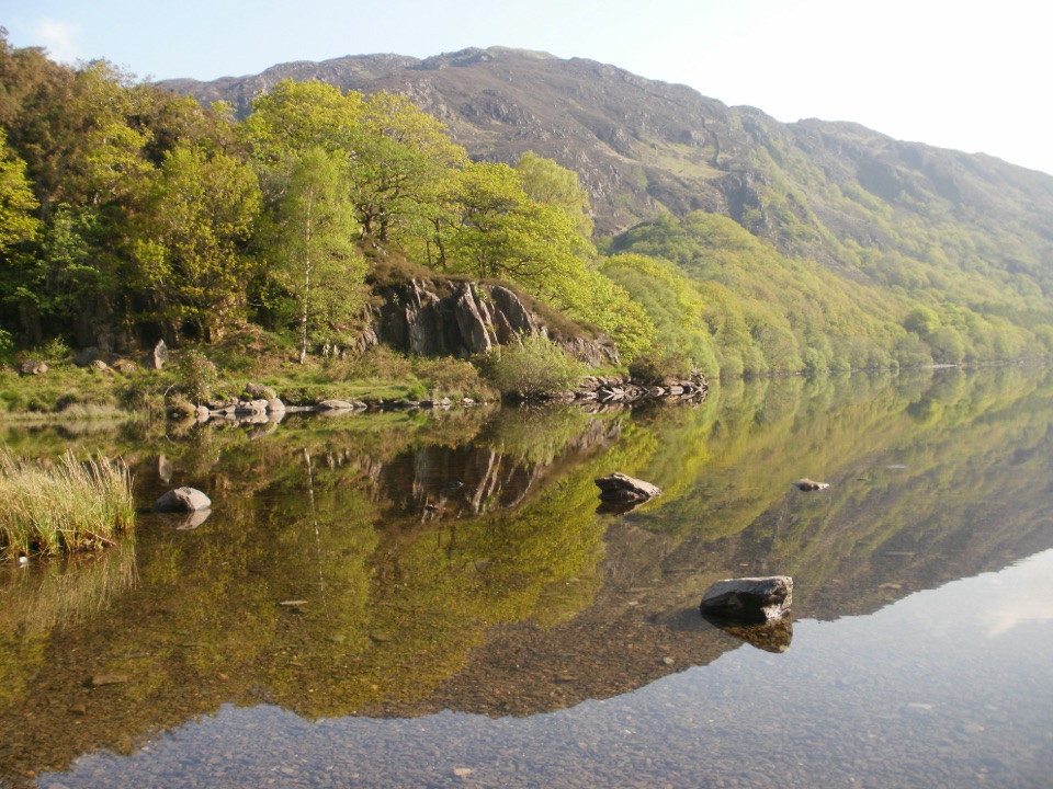 Sight · 1.9 km awayLlyn DinasMirror-calm Glaslyn water beneath the dragon-legend hill of Dinas Emrys
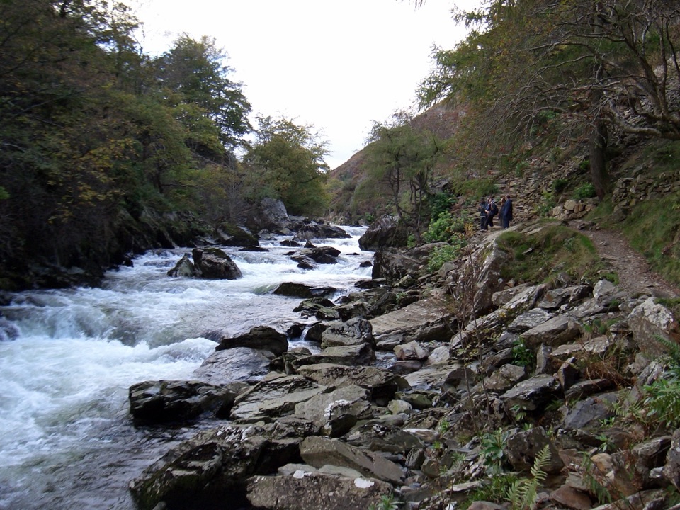 Sight · 2.7 km awayAberglaslyn PassA rushing river threading a dramatic wooded gorge
Parkwolf’s Eryri ranking

The audio tour guide for the drive, plus offline maps, trails, and wildlife heatmaps for when the signal drops.



