Parking
Start in Machynlleth town centre at the Town Clock. Both endpoints have rail access; arrange overnight stops and a finish-to-start transport plan for this one-way walk.
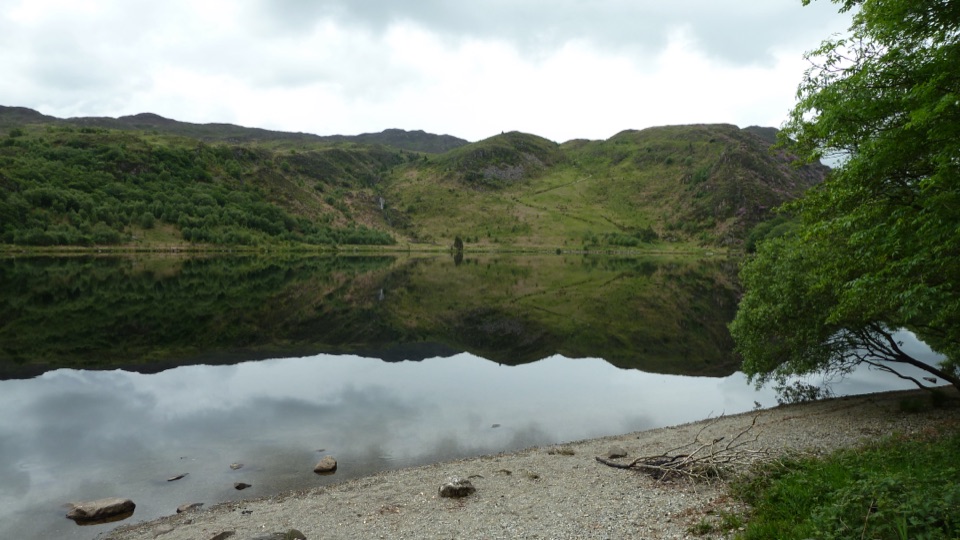
Eryri National Park, WA
Machynlleth to Conwy on foot: valleys, passes and quiet slate country
Overview
From Machynlleth the route climbs into Dovey Forest and passes Corris and Aberllefenni before dropping to Dolgellau. It then works north below the Rhinog foothills, crosses the Vale of Ffestiniog, and threads the Aberglaslyn area with Llyn Dinas and Llyn Glaslyn. Beyond Bwlch y Rhediad it reaches the Ogwen Valley, then Aber Falls and the Sychnant Pass before the finish at Conwy. The reward is a full traverse of the range seen from beneath its highest ground, with mountain walls, slate villages, lakes and coast arriving in turn.
 Parkwolf’s verdictThe sequence and the payoff
Map & elevation
Plan your hike

The highest, rockiest slopes around here are a summer buffet for grizzly bears.
Eryri Tour Guide
Parkwolf is a GPS audio tour guide for Eryri National Park. As you drive, it chimes in with what’s ahead: hidden gems, upcoming stops, history, geology, and wildlife, right through your car’s speakers.
Recorded for this area
Why the Dyfi Bridge Is So Long“The New Dyfi Bridge crosses more than the river. Most of its seven hundred and twenty-five metres span the surrounding flood plain.”
Plays on the road 0.9 km from the trailhead in the Parkwolf Eryri Tour Guide.
More stories near here in the app
“Fantastic app with many points of information… It’s great to just turn on while you’re driving and it gives you an audio tour of the national Park. We love it!!!!”


Trail guide
This is a point-to-point long-distance route running south to north from Machynlleth to Conwy, and the standard low-level line rather than the separate mountain route. Visitor distance is 97.25 miles / 156.1 km one way, with the stored mapped route measuring 155.5 km. Expect 45 to 50 hours of walking, normally split over 6 to 8 stages, with roughly 17,745 ft / 5,410 m of total ascent. The high point is about 405 m. There is no loop and no return to the start.
This is a demanding walk despite the low-level label. Days are long and consecutive, ascent accumulates steadily even without summits, and there are long stretches between places offering shelter. It suits walkers who are comfortable with back-to-back full days carrying what they need and who can keep going in poor weather.
Surfaces vary from good forest and farm tracks to stony, gravelly, rocky and muddy paths, with sections of uneven ground and indistinct trod. The route links long-standing existing paths rather than being purpose-built, so there is no continuous on-ground waymarking for it and navigation can be intricate, especially on open ground, in forestry and where paths fade across pasture. Carry a map, compass and a loaded GPS track, and be ready to navigate in mist or rain when higher passes hold cloud.
The usual start is Machynlleth town centre at the Town Clock, which sits within a few metres of the route start. Both Machynlleth and Conwy have rail access, which makes a linear walk straightforward to plan without a car. Because the walk is one way, arrange accommodation along the line and a transport plan for the finish before you set out; a vehicle left at the start will need retrieving by public transport or a lift.
Dogs are allowed on public footpaths and open-access land under close control. Use a short lead near livestock or wildlife, and a lead no longer than 2 m on open-access land between 1 March and 31 July. Wild camping is not permitted without prior permission from the landowner or farmer, so plan overnight stops in advance.
Wildlife
 77 sightingsGrey HeronMost seen around 7 AMSighting map
 17 sightingsTawny OwlMost seen around 6 AMSighting map
 32 sightingsCommon RavenMost seen around 8 AMSighting map
 21 sightingsGreat Spotted WoodpeckerMost seen around 7 AMSighting map
 18 sightingsEuropean RabbitMost seen around 7 AMSighting map
 161 sightingsViviparous LizardMost seen around 10 AMSighting map
Sighting maps show where each species has been reported across Eryri. Wildlife moves, so no sighting is guaranteed.
Keep exploring
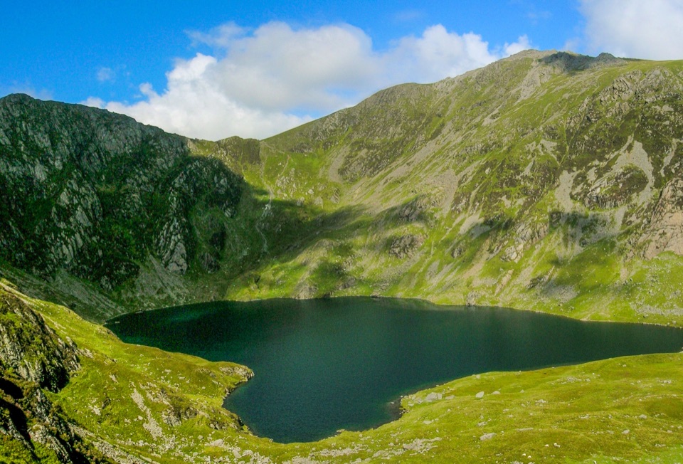 ChallengingSnowdonia Way Mountain Route188.3 km · 3 days · 0.1 km awayHigh-level trek over Cadair Idris, Cnicht, Yr Wyddfa and the Glyders
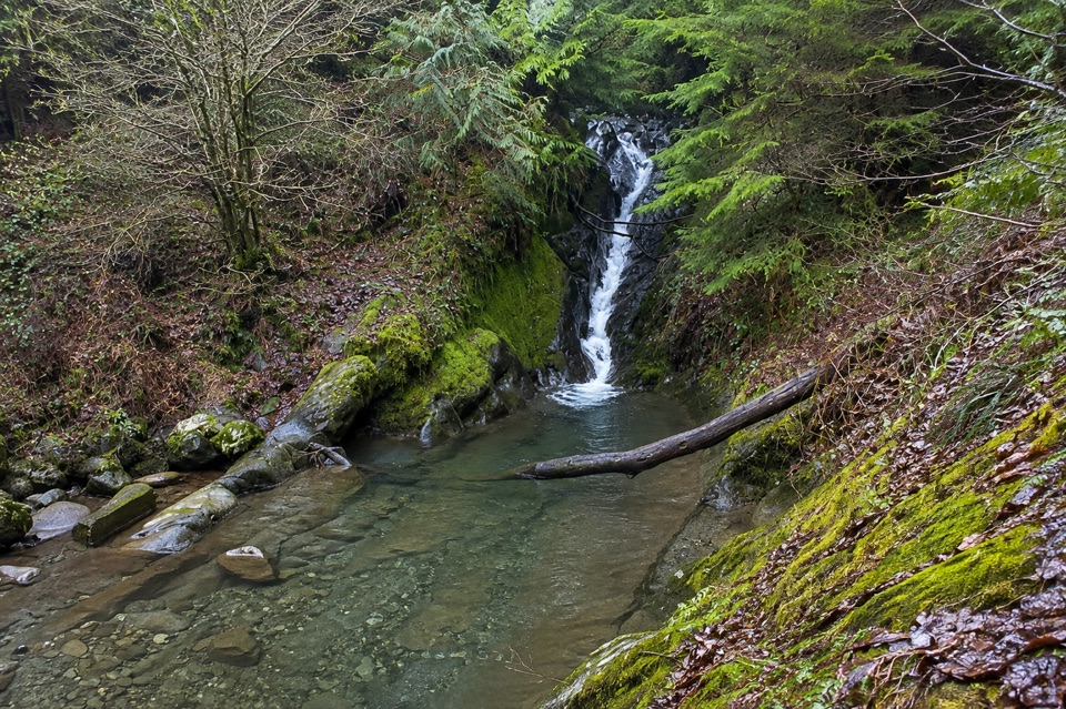 ModerateTan y Coed Animal Discovery Trail1.8 km · 1 hr · 4.7 km awayShort waymarked woodland loop to a waterfall, with animal clues for kids
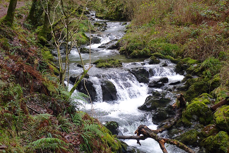 ModerateCascades Trail1.8 km · 1 hr · 8.6 km awayShort steep loop beside a cascading river gorge and slate tramway
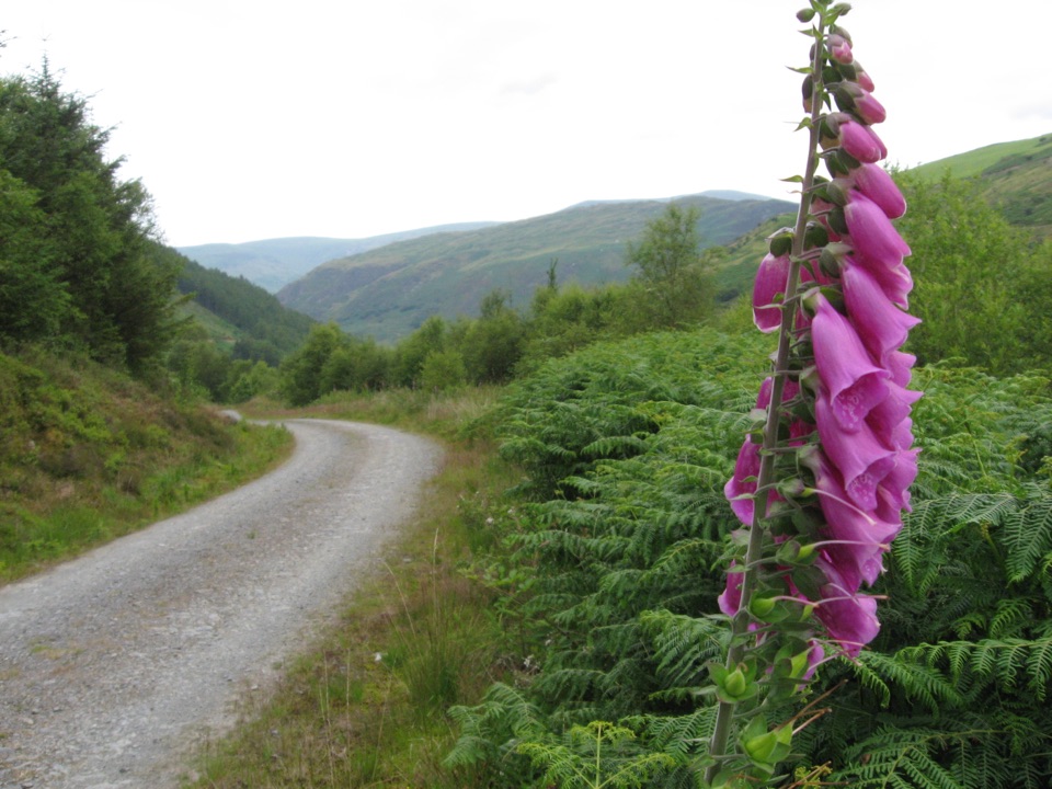 ChallengingQuarryman's Trail5.1 km · 2.8 hr · 8.7 km awayWaterfall gorge, tramways and slate ruins on a strenuous 5.1 km loop
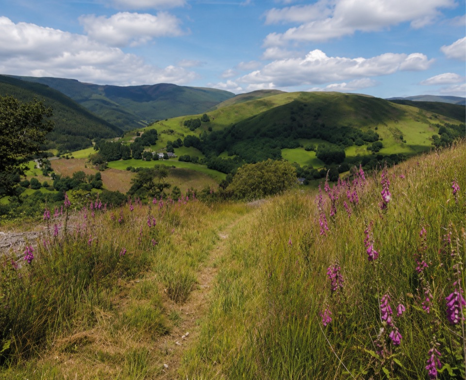 ChallengingPen y Bryn Trail3.4 km · 1.5 hr · 8.8 km awaySteep oak-wood climb to a derelict farmstead and hilltop bench views
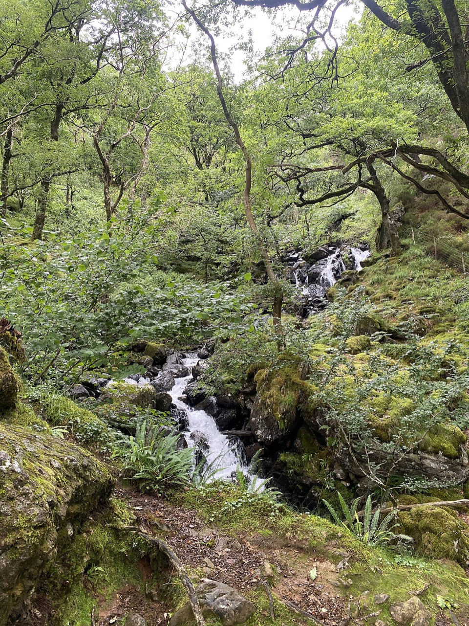 ModerateGorge Climb0.3 km · 23 min · 10.8 km awaySteep stone steps climb a mossy gorge to a waterfall viewpoint bench
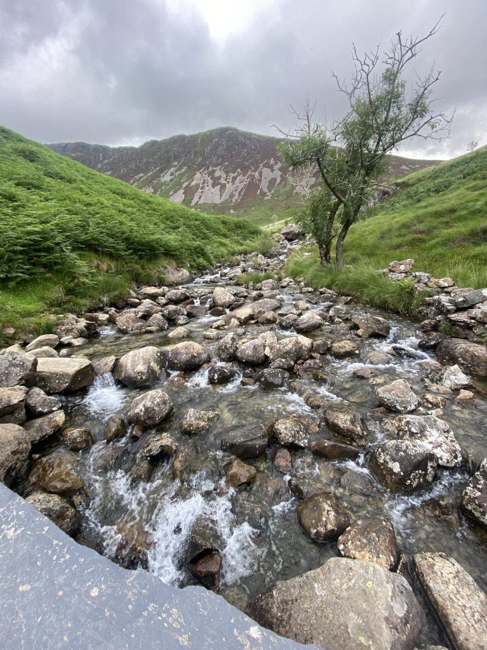 ChallengingNant Cadair Bridge2.1 km · 1.3 hr · 10.8 km awaySteep stepped climb through a waterfall gorge to a slate mountain bridge
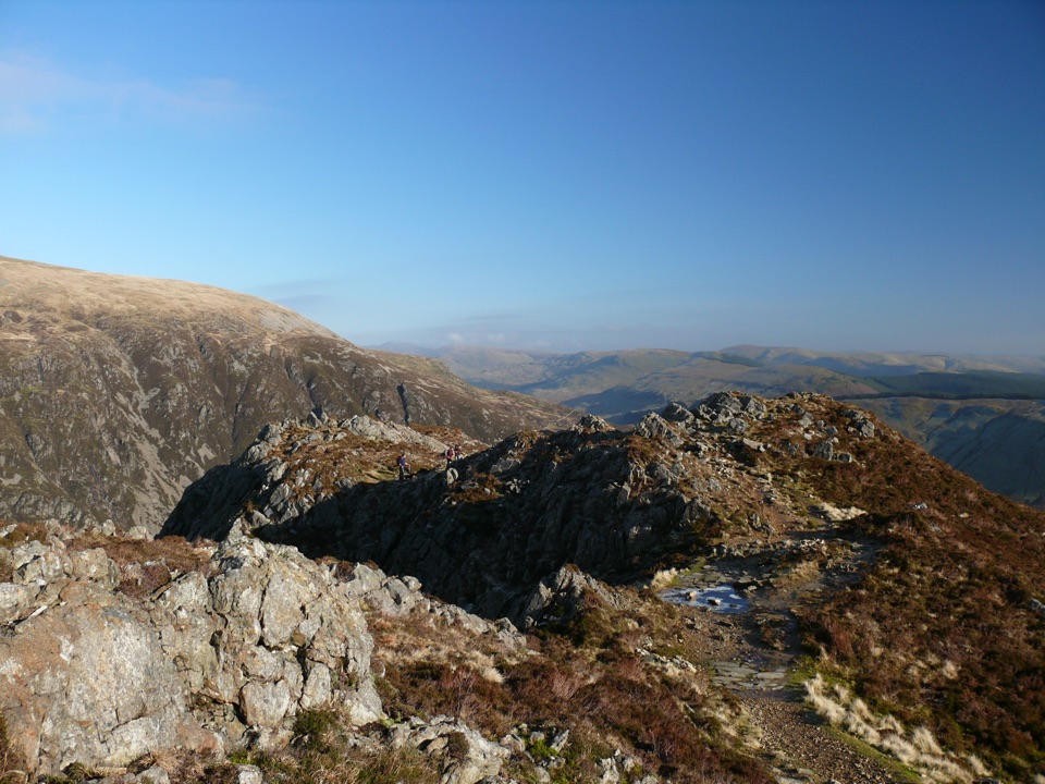 ChallengingMinffordd Path9 km · 5.5 hr · 10.8 km awayWaterfalls, Llyn Cau's cwm, and a scrambly cliff-edge push to Penygadair
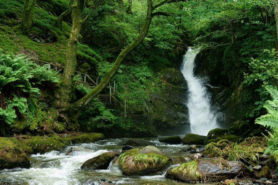 Sight · 10.1 km awayDolgoch FallsThree forest waterfalls linked by a steep, atmospheric ravine walk
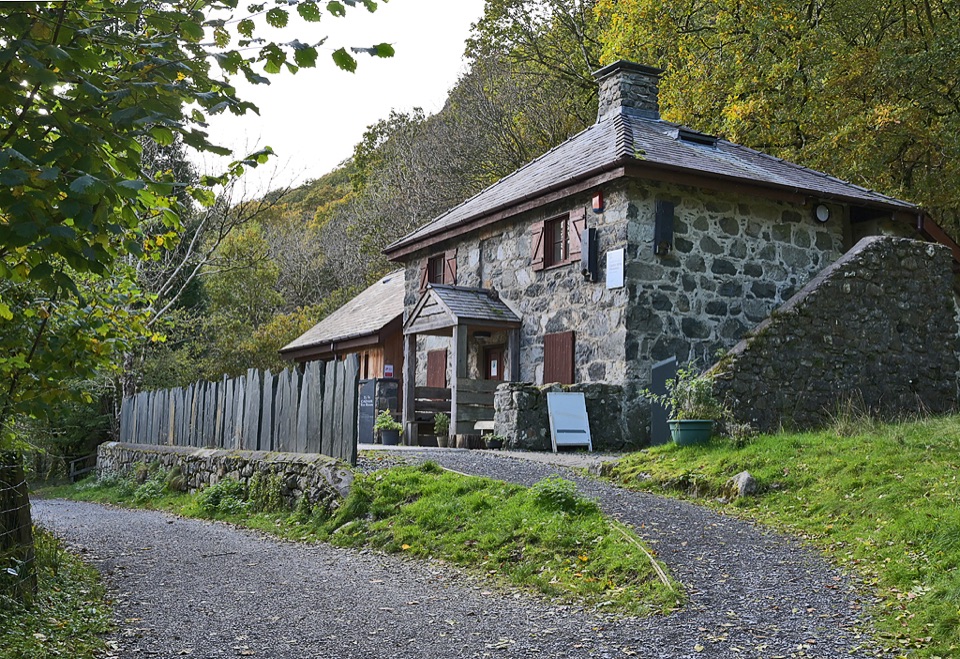 Visitor center · 10.9 km awayCader Idris Visitor CentreA stone mountain base with wildlife exhibits and gentle woodland paths
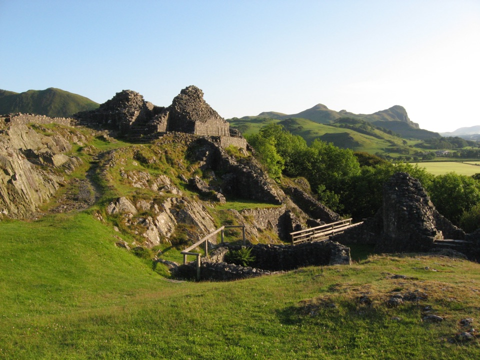 Sight · 10.9 km awayCastell y BereRuined Welsh stronghold on a rocky crag above the Dysynni
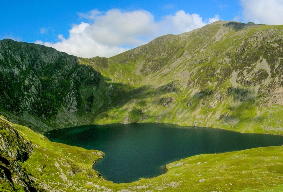 Sight · 11.9 km awayLlyn CauA glacial lake tucked beneath Cadair Idris's steep crater rim
 Sight · 12.7 km awayCader IdrisA high rocky summit above the dark bowl of Llyn Cau
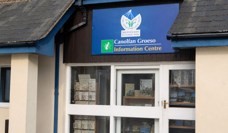 Visitor center · 14 km awayAberdyfi Information CentreStaffed local know-how, maps and bed booking beside the Wharf
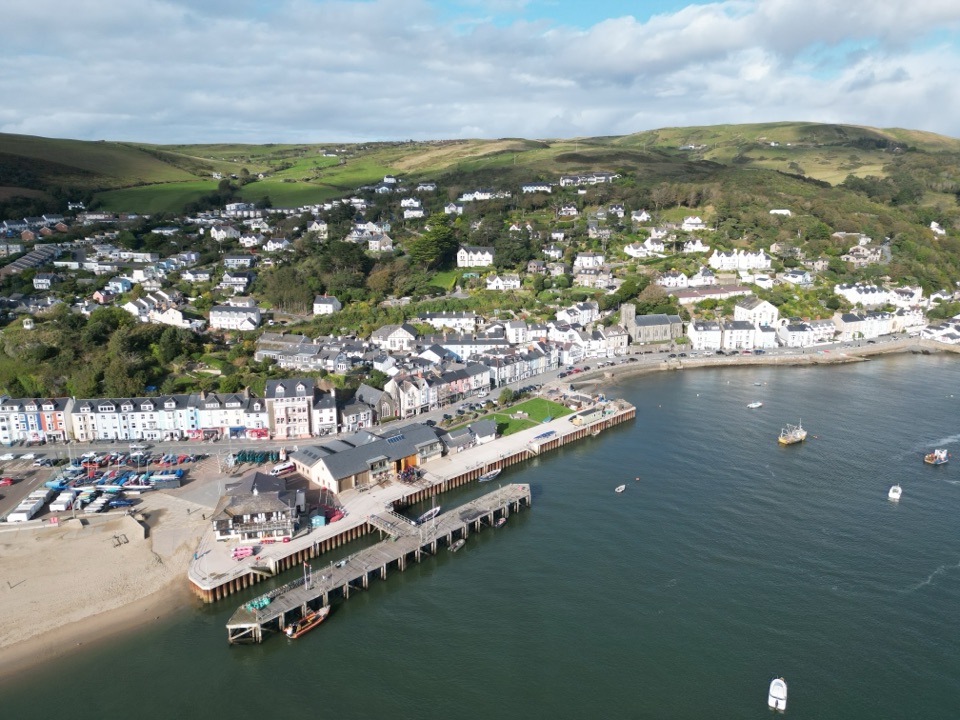 Sight · 14.4 km awayAberdyfiA harbour village where mountains meet Cardigan Bay
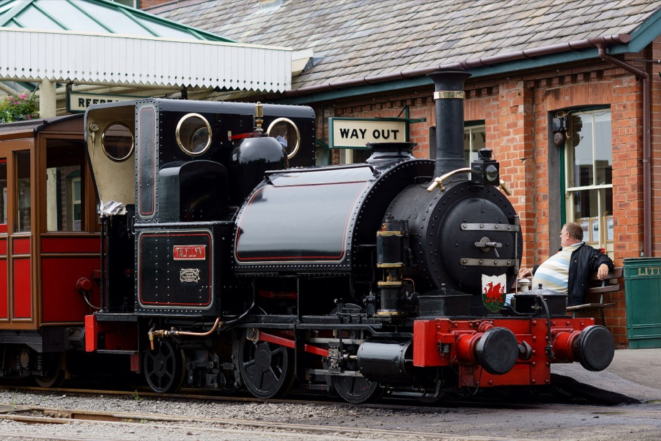 Sight · 15.9 km awayTalyllyn RailwayA lovingly preserved steam ride through the Fathew Valley
Parkwolf’s Eryri ranking
The audio tour guide for the drive, plus offline maps, trails, and wildlife heatmaps for when the signal drops.




