Pen y Bryn Trail in Eryri National Park

Eryri National Park, WA

Pen y Bryn Trail

Steep oak-wood climb to a derelict farmstead and hilltop bench views

Length
3.4km
Time
1.5hr
Elev. change
158m
Difficulty
Challenging
  • Loop
  • Dogs allowed
  • High point 258 m

Hear the audio tour

The Mountain's Underwater Past

Overview

About Pen y Bryn Trail

Why go

  • Compact loop with wide hill views
  • Mossy oak woodland and old farmsteads add character

Heads up

  • Steep, narrow paths can be slippery
  • Rough ground makes the short mileage feel strenuous

Map & elevation

The route

Loading the Eryri map
Full map
Elevation100–258 m
TrailheadFoel Friog car park52.66759, -3.82175
Keep this map with you offline in the Parkwolf app

Plan your hike

Before you go

Parking

Foel Friog car park, immediately before the Aberllefenni village sign after turning toward Aberllefenni from the A487 at Corris. The grid reference is SH 769 093 and postcode SY20 9RR is broad. Parking is free; vehicles over 2.1 m cannot enter and overnight parking is not permitted.


Best time to go

Spring and early summer are the strongest choice, with the most bird activity and good light in the oaks. Autumn is attractive but leaf cover makes the steep sections slippery, and after heavy rain the narrow paths get muddy. Allow more than the stated 1.5 hours if you want time at the bench.

Safety

Steep ascent and descent on narrow unmade paths, often under 50 cm wide, with mud, rocks and tree roots. Sections can be particularly slippery after rain or when covered with fallen leaves.

A park ranger sits on a dash-mounted phone, talking, as Parkwolf’s Tour Guide plays “Army Cutworm Moths: A Grizzly Bear Buffet” on Grand Loop Road below Dunraven Pass in Yellowstone
Parkwolf Tour GuideThe highest, rockiest slopes around here are a summer buffet for grizzly bears.

Eryri Tour Guide

Your drive to Pen y Bryn Trail, narrated.

Parkwolf is a GPS audio tour guide for Eryri National Park. As you drive, it chimes in with what’s ahead: hidden gems, upcoming stops, history, geology, and wildlife, right through your car’s speakers.

Recorded for this area

The Mountain's Underwater Past
0:00 / 0:25
“High on Cader Idris are rounded bulges of rock called pillow lava. They formed when molten lava met seawater on an ancient seabed.”

Plays on the road 3.1 km from the trailhead in the Parkwolf Eryri Tour Guide.

More stories near here in the app

  • The Kite's Steering Tail
  • The Ginger Beer Ruin
  • The Forest the War Years Planted
  • Dôl Idris and Cader Idris
  • 298 audio storiesacross Eryri’s roads, triggered by GPS as you drive
  • Wildlife heatmapsfor Grey Heron, Tawny Owl, Common Raven, and 9 more
  • Works offlinemaps, 120 trails, 82 places, and audio download before you lose signal
  • CarPlay readysimple controls built for the drive
★★★★★
“Fantastic app with many points of information… It’s great to just turn on while you’re driving and it gives you an audio tour of the national Park. We love it!!!!”
JMJamesApp Store review
Download Parkwolf on the App StoreGet Parkwolf on Google Play

4.7 from 8,600+ ratings

Trail guide

Hiking Pen y Bryn Trail

The routeA waymarked anticlockwise circular walk from Foel Friog car park in Dyfi Forest, near…

A waymarked anticlockwise circular walk from Foel Friog car park in Dyfi Forest, near Aberllefenni and Corris. The complete loop is 2.1 miles / 3.4 km and takes about 1.5 hours. It is waymarked from start to finish, and it returns you to the car park rather than doubling back on itself.

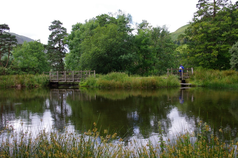
How it unfoldsCross Afon Dulas near the picnic site at the start.
  • Cross Afon Dulas near the picnic site at the start.
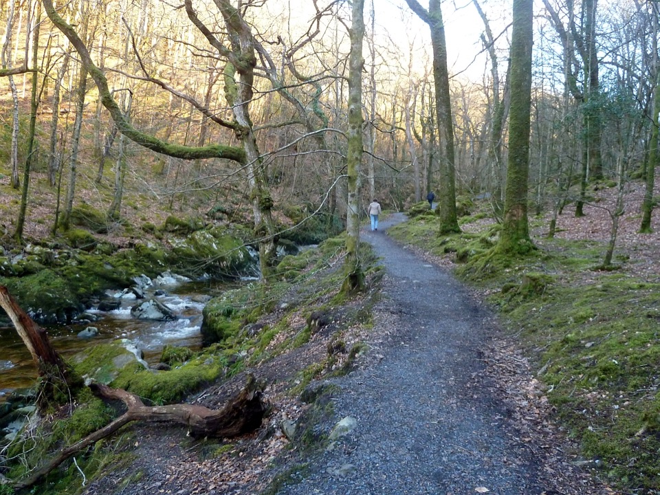
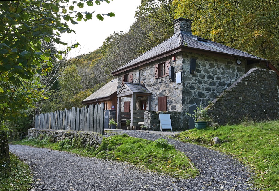
  • Climb steeply through oak woodland to the Pen y Bryn derelict farmstead.
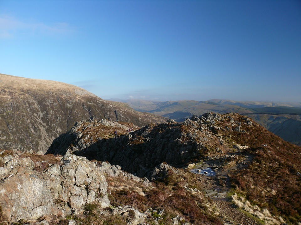
  • Continue along the hilltop to a viewpoint bench, the natural place to stop.
  • Descend steeply back down to the car park.
Difficulty and footingThis is graded strenuous, with 719 ft / 219 m of climb packed into a short distance.

This is graded strenuous, with 719 ft / 219 m of climb packed into a short distance. Paths are often under 50 cm wide on unmade, uneven ground with mud, rocks and tree roots, and some sections are particularly slippery after rain or when covered with fallen leaves. Wear boots with good grip and expect to slow down on both the climb and the descent.

Scenery and wildlifeThe walk mixes ancient oak woodland rich in mosses, ferns and lichens with conifer forest,…

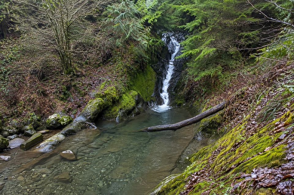
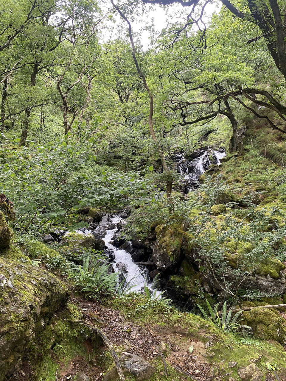
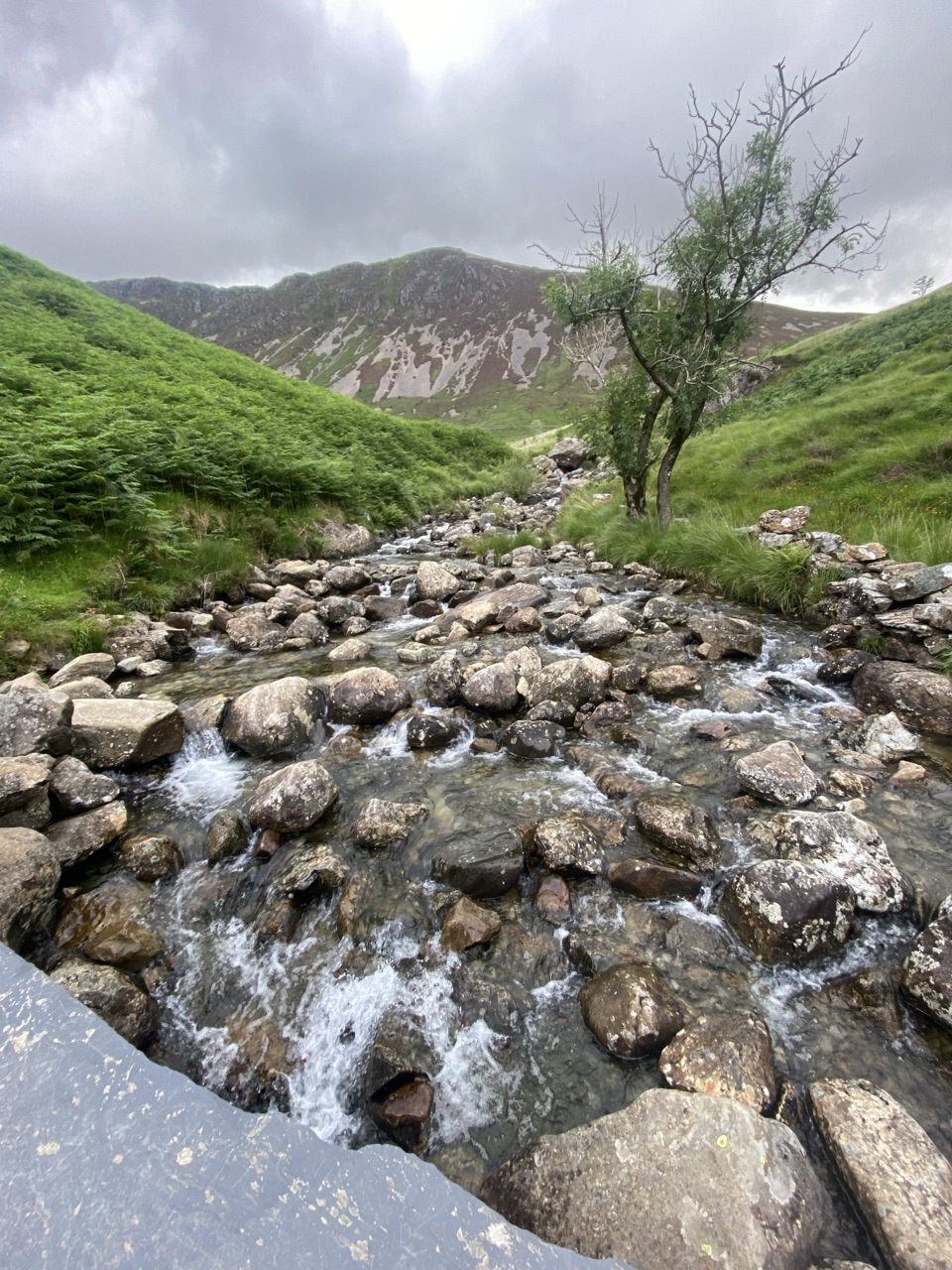
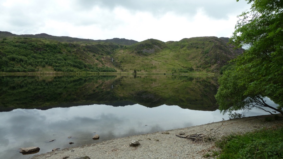
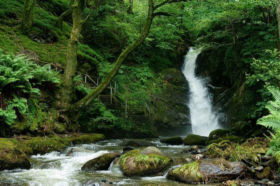
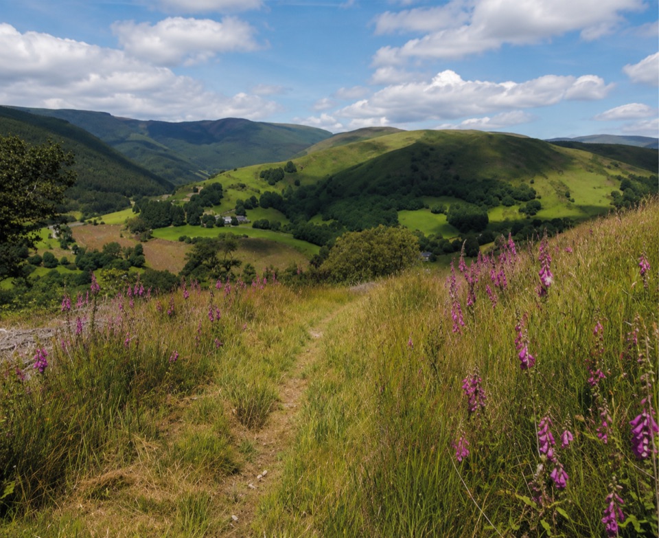
The walk mixes ancient oak woodland rich in mosses, ferns and lichens with conifer forest, passing derelict farmsteads among the trees and quarry remains. From the higher ground there are views of Foel Crochan and Godre Fynydd. In spring and summer you may hear or see woodland and conifer birds such as tits, warblers, nuthatches, pied flycatchers, wrens, goldcrests, siskins, crossbills and buzzards, though nothing is guaranteed on any single visit.

Getting there and parkingFoel Friog car park, immediately before the Aberllefenni village sign, after turning toward…
  • Foel Friog car park, immediately before the Aberllefenni village sign, after turning toward Aberllefenni from the A487 in Corris.
  • Grid reference SH 769 093. The postcode SY20 9RR covers a broad area and will not take you straight to the entrance, so navigate by the grid reference or the road directions.
  • Parking is free, but a barrier means vehicles over 2.1 m cannot enter, and overnight parking is not permitted.
  • The available access guidance identifies no permit requirement for this walk.
Dogs and alternativesDogs should be kept under effective control and with you on paths and access land.

Dogs should be kept under effective control and with you on paths and access land. If the steep climb and rough footing sound like too much, the short animal discovery trail at Tan y Coed in Coed y Brenin is a much easier, more family-oriented option.

Wildlife

Wildlife in Eryri

All Eryri wildlife maps

Sighting maps show where each species has been reported across Eryri. Wildlife moves, so no sighting is guaranteed.

Keep exploring

Near Pen y Bryn Trail

See it all on the map

Trails that start nearby

Places near the trailhead

Parkwolf’s Eryri ranking

Top-rated trails in Eryri

All 120 trails
  1. 1Yr Wyddfa Pyg Track and Miners’ Track LoopChallenging · 12.1 km
  2. 2Llanberis PathChallenging · 14.5 km
  3. 3Pyg TrackChallenging · 11 km
  4. 4Miners’ TrackChallenging · 12.9 km
  5. 5Cwm Idwal WalkModerate · 4.8 km
  6. 6Watkin PathChallenging · 12.9 km

Take Parkwolf to Eryri.

The audio tour guide for the drive, plus offline maps, trails, and wildlife heatmaps for when the signal drops.

4.7 from 8,600+ ratings

Download Parkwolf on the App StoreGet Parkwolf on Google Play