Parking
There is no single trailhead lot. Begin in Machynlleth, arrange overnight stops along the route, and plan transport back from Conwy; treat this as a multi-day traverse rather than a day walk.
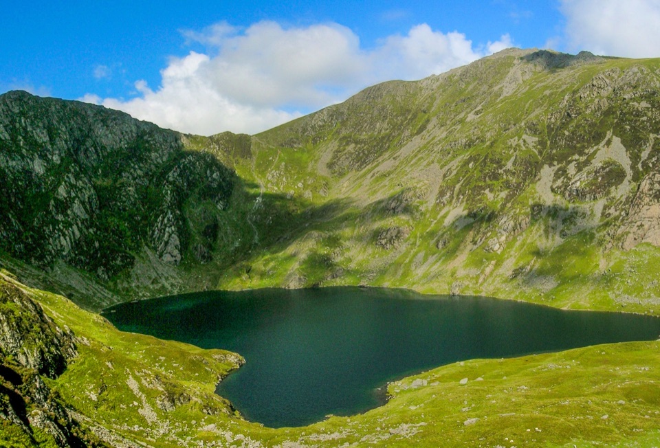
Eryri National Park, WA
High-level trek over Cadair Idris, Cnicht, Yr Wyddfa and the Glyders
Overview
Map & elevation
Plan your hike

The highest, rockiest slopes around here are a summer buffet for grizzly bears.
Eryri Tour Guide
Parkwolf is a GPS audio tour guide for Eryri National Park. As you drive, it chimes in with what’s ahead: hidden gems, upcoming stops, history, geology, and wildlife, right through your car’s speakers.
Recorded for this area
Why the Dyfi Bridge Is So Long“The New Dyfi Bridge crosses more than the river. Most of its seven hundred and twenty-five metres span the surrounding flood plain.”
Plays on the road 1 km from the trailhead in the Parkwolf Eryri Tour Guide.
More stories near here in the app
“Fantastic app with many points of information… It’s great to just turn on while you’re driving and it gives you an audio tour of the national Park. We love it!!!!”


Trail guide
This is the mountain variant of the Snowdonia Way, a point-to-point walk of 188 km / 117 miles one way from Machynlleth north to Conwy. There is no loop and no return to the start, so the distance convention here is one direction only. Most walkers plan it as about nine stages, and splitting the long final stage into two makes ten days a sensible option.
The line heads north through Eryri's spine rather than around it, linking Cadair Idris, Cnicht, Yr Wyddfa (Snowdon) and the Glyders with quieter summits, long valleys, open moorland and old mountain passes. The high points reach roughly 1,000 m, and the payoff is a continuous mountain traverse where the famous tops arrive as part of a bigger journey instead of separate day trips. Quieter days between the big names are often the ones people remember.
Treat this as very challenging. Expect rough mountain ground, steep ascents and descents, exposed ridges, boggy and wet sections, and scrambling or otherwise technical passages on some of the high-level stages. Day distances feel longer than the numbers suggest because of the terrain and height gain. You want hill fitness built over several months, plus recent experience of carrying a pack on steep, rough mountain ground.
Mountain weather here changes fast, and cloud can strip visibility on the ridges within minutes. Strong navigation skills and full mountain-walking equipment are necessary, particularly outside settled summer conditions. Carry map and compass and be able to use them without relying on a phone. Have bad-weather plans for the high stages, because retreating or lowering your line is sometimes the right call.
This is a linear route across public rights of way and open-access land rather than a single managed trailhead walk. The southern access is at Machynlleth and the finish is near Conwy, so arrange transport back from Conwy before you set off. Book or plan overnight bases along the way, or carry camping gear, and check resupply options as you plan each stage.
Dogs are welcome with care. On public rights of way keep them under close control, and on open-access land a 2 m lead is required from 1 March to 31 July. A short lead is wise near livestock and wildlife at any time of year. Bear in mind that steep, rocky and scrambly ground on the high stages does not suit every dog.
Wet ground, exposure and long committing days are the trade-off for the summits, and a spell of bad weather can flatten the experience for days at a time. If that sounds like more than you want, the lower-level Snowdonia Way covers similar territory over a shorter and lower line with gentler terrain. Choose this mountain route when the summits and the harder walking are the whole point.
Wildlife
 77 sightingsGrey HeronMost seen around 7 AMSighting map
 17 sightingsTawny OwlMost seen around 6 AMSighting map
 32 sightingsCommon RavenMost seen around 8 AMSighting map
 21 sightingsGreat Spotted WoodpeckerMost seen around 7 AMSighting map
 18 sightingsEuropean RabbitMost seen around 7 AMSighting map
 161 sightingsViviparous LizardMost seen around 10 AMSighting map
Sighting maps show where each species has been reported across Eryri. Wildlife moves, so no sighting is guaranteed.
Keep exploring
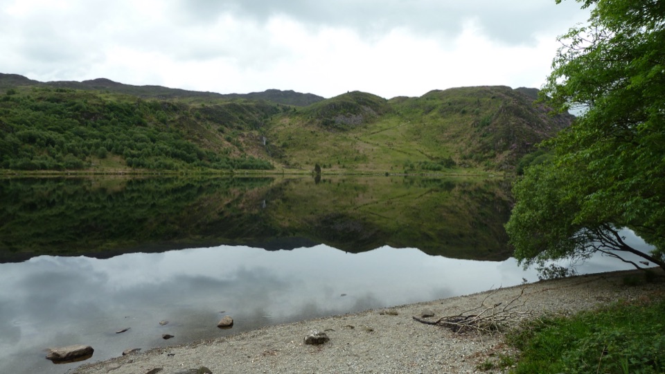 ChallengingSnowdonia Way156.5 km · 2 days · 0.1 km awayMachynlleth to Conwy on foot: valleys, passes and quiet slate country
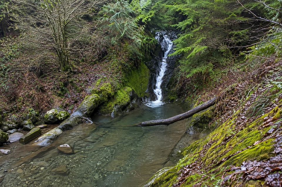 ModerateTan y Coed Animal Discovery Trail1.8 km · 1 hr · 4.7 km awayShort waymarked woodland loop to a waterfall, with animal clues for kids
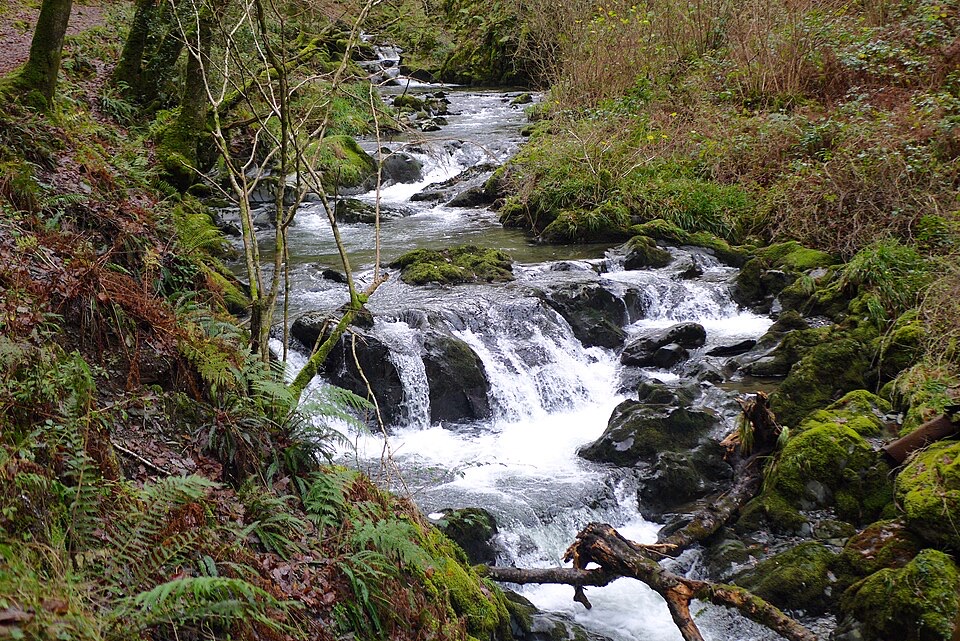 ModerateCascades Trail1.8 km · 1 hr · 8.6 km awayShort steep loop beside a cascading river gorge and slate tramway
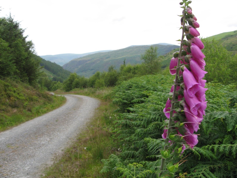 ChallengingQuarryman's Trail5.1 km · 2.8 hr · 8.8 km awayWaterfall gorge, tramways and slate ruins on a strenuous 5.1 km loop
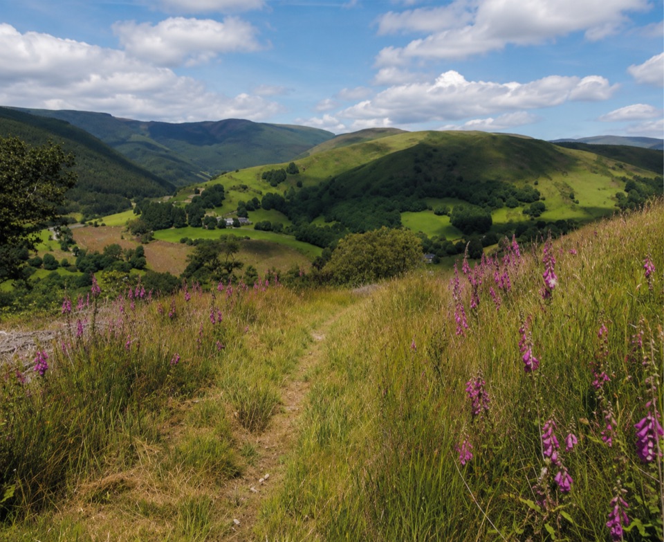 ChallengingPen y Bryn Trail3.4 km · 1.5 hr · 8.9 km awaySteep oak-wood climb to a derelict farmstead and hilltop bench views
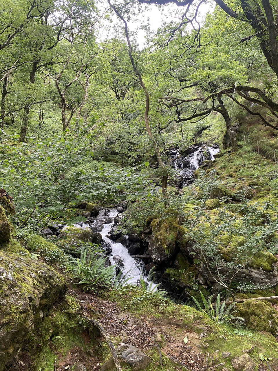 ModerateGorge Climb0.3 km · 23 min · 10.9 km awaySteep stone steps climb a mossy gorge to a waterfall viewpoint bench
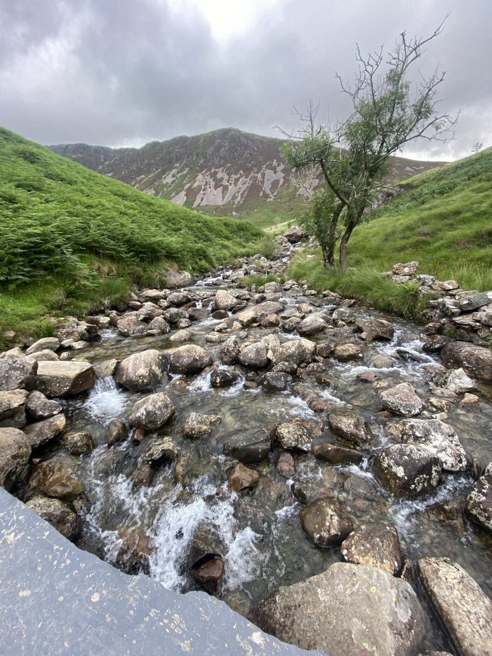 ChallengingNant Cadair Bridge2.1 km · 1.3 hr · 10.9 km awaySteep stepped climb through a waterfall gorge to a slate mountain bridge
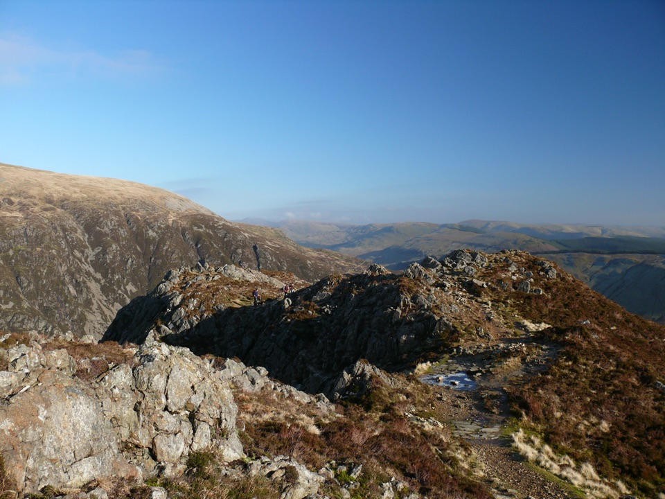 ChallengingMinffordd Path9 km · 5.5 hr · 10.9 km awayWaterfalls, Llyn Cau's cwm, and a scrambly cliff-edge push to Penygadair
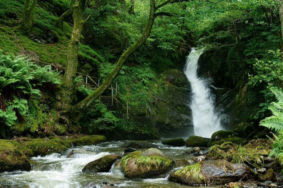 Sight · 10.1 km awayDolgoch FallsThree forest waterfalls linked by a steep, atmospheric ravine walk
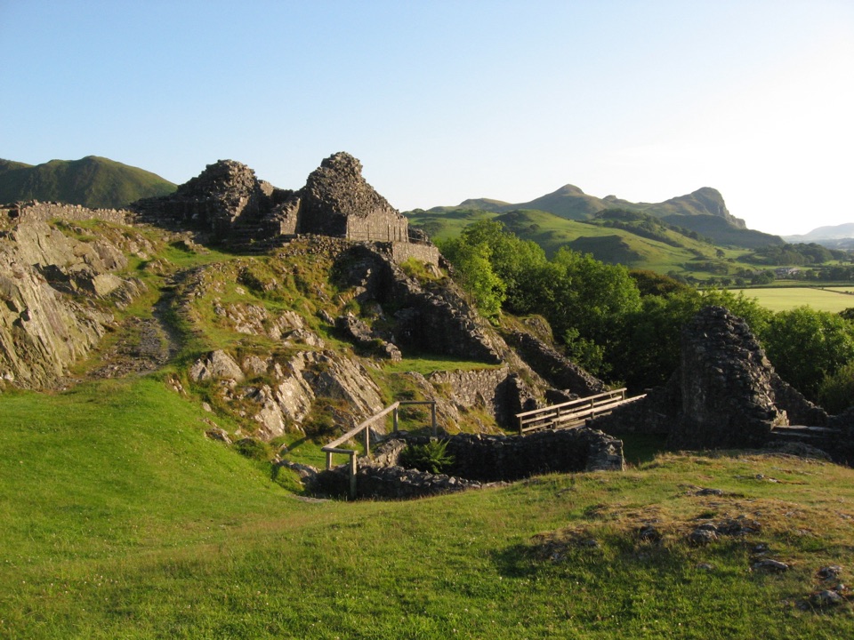 Sight · 11 km awayCastell y BereRuined Welsh stronghold on a rocky crag above the Dysynni
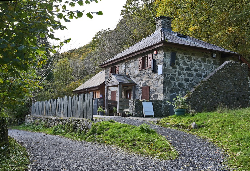 Visitor center · 11 km awayCader Idris Visitor CentreA stone mountain base with wildlife exhibits and gentle woodland paths
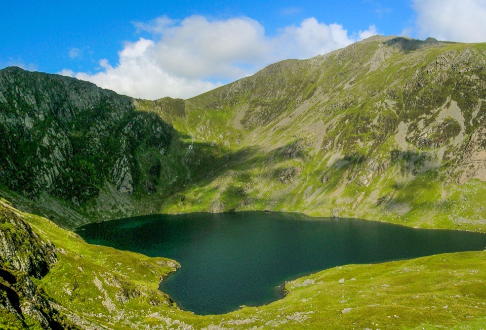 Sight · 12 km awayLlyn CauA glacial lake tucked beneath Cadair Idris's steep crater rim
 Sight · 12.8 km awayCader IdrisA high rocky summit above the dark bowl of Llyn Cau
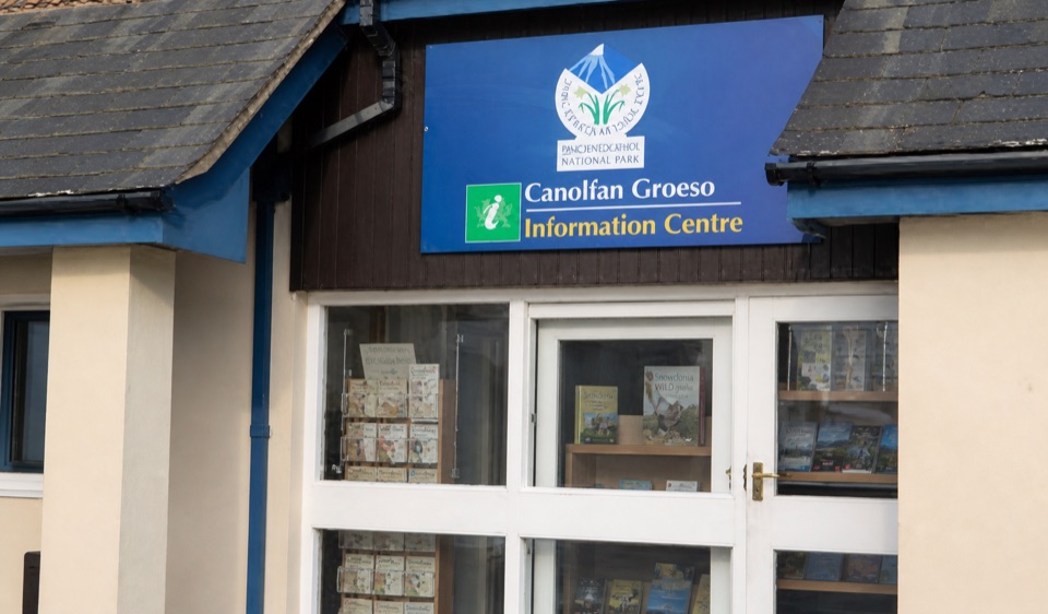 Visitor center · 13.9 km awayAberdyfi Information CentreStaffed local know-how, maps and bed booking beside the Wharf
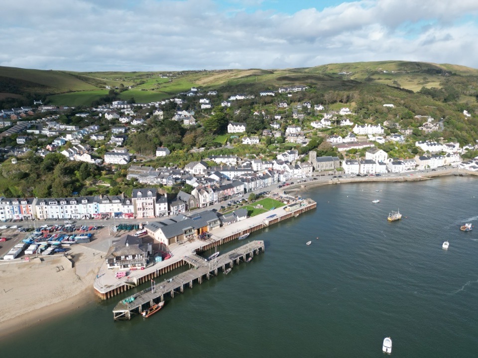 Sight · 14.4 km awayAberdyfiA harbour village where mountains meet Cardigan Bay
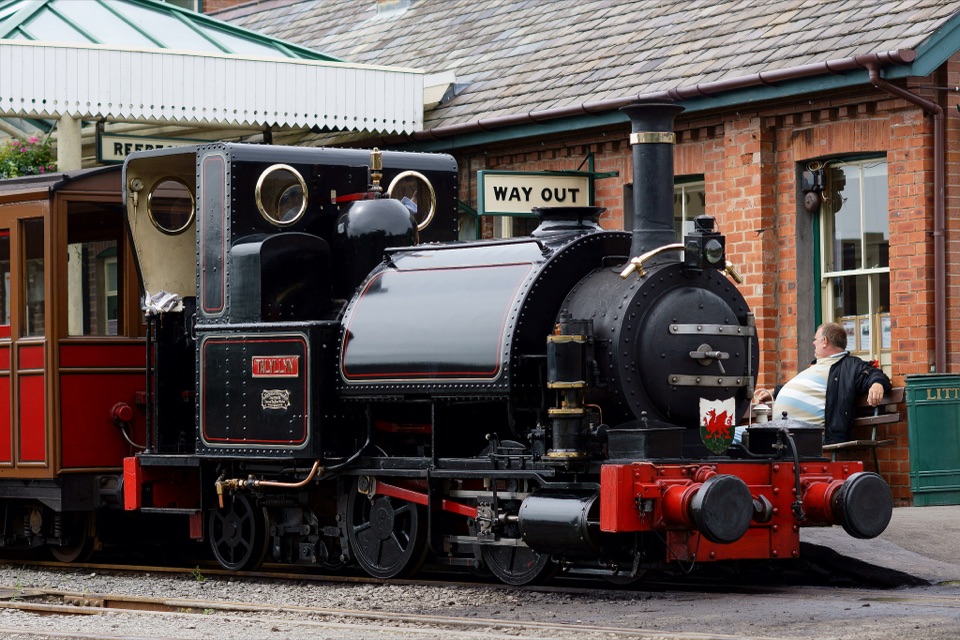 Sight · 15.9 km awayTalyllyn RailwayA lovingly preserved steam ride through the Fathew Valley
Parkwolf’s Eryri ranking

The audio tour guide for the drive, plus offline maps, trails, and wildlife heatmaps for when the signal drops.




