Parking
Use the signed Homer Tunnel Parking Area on Milford Sound Highway at the eastern (Hollyford-side) portal. Park only when the area is signed open, follow current DOC/NZ Transport Agency controls, and never stop on the SH94 shoulder.
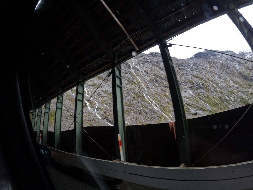
Fiordland National Park, SL
A short self-guided alpine loop beside Homer Tunnel’s Hollyford-side portal
Overview
This short, self-guided alpine nature walk starts at the Homer Tunnel Parking Area on the eastern (Hollyford-side) portal of the Homer Tunnel. From the signed parking area, the path climbs gently through a rocky alpine zone and loops among boulders, subalpine shrubs, and tussocks before returning along the same access leg. The mapped physical corridor is about 0.28 miles; because the access leg is walked out and back, the visitor walk is roughly 0.43 miles (0.7 km) total. Allow about 20 minutes return.
The route is easy but exposed to Fiordland’s fast-changing mountain weather. The loop has minimal elevation change, with an elevation profile around 939–947 metres, and the interest is the landscape rather than a long destination hike. Alpine buttercups, daisies, shrubs, and tussocks are especially rewarding when the snow has cleared.
Kea are often seen around the Homer Tunnel; a rare rock wren may sometimes be heard or glimpsed among the large boulders. Do not feed wildlife, and keep loose belongings secure around kea.
Access is dependent on the Milford Road and the signed parking area being open. Avalanche and rockfall hazards can close the road, parking area, or walk, especially in winter. Check current DOC and NZ Transport Agency notices, follow all signs, and carry warm waterproof layers; do not stop on the highway shoulder or enter a closed area.
Map & elevation
Plan your hike

The highest, rockiest slopes around here are a summer buffet for grizzly bears.
Fiordland Tour Guide
Parkwolf is a GPS audio tour guide for Fiordland National Park. As you drive, it chimes in with what’s ahead: hidden gems, upcoming stops, history, geology, and wildlife, right through your car’s speakers.
See the Fiordland audio tourRecorded for this trailhead
The Homer Tunnel: Gateway to Milford Sound“You're about to drive through the Homer Tunnel, a 1.2-kilometer passage blasted straight through solid granite. The walls inside are raw, unlined rock, making for a memorable drive.”
Plays as you drive up to this trailhead in the Parkwolf Fiordland Tour Guide.
More stories near here in the app
“Fantastic app with many points of information… It’s great to just turn on while you’re driving and it gives you an audio tour of the national Park. We love it!!!!”


Wildlife
 1,181 sightingsKeaMost seen around 10 AMSighting map
 199 sightingsFiordland PenguinMost seen around 7 PMSighting map
 228 sightingsBlue DuckMost seen around 5 PMSighting map
 32 sightingsBottlenose DolphinMost seen around 5 PMSighting map
 247 sightingsNew Zealand Fur SealMost seen around 6 PMSighting map
 58 sightingsKākāMost seen around 6 PMSighting map
Sighting maps show where each species has been reported across Fiordland. Wildlife moves, so no sighting is guaranteed.
Keep exploring
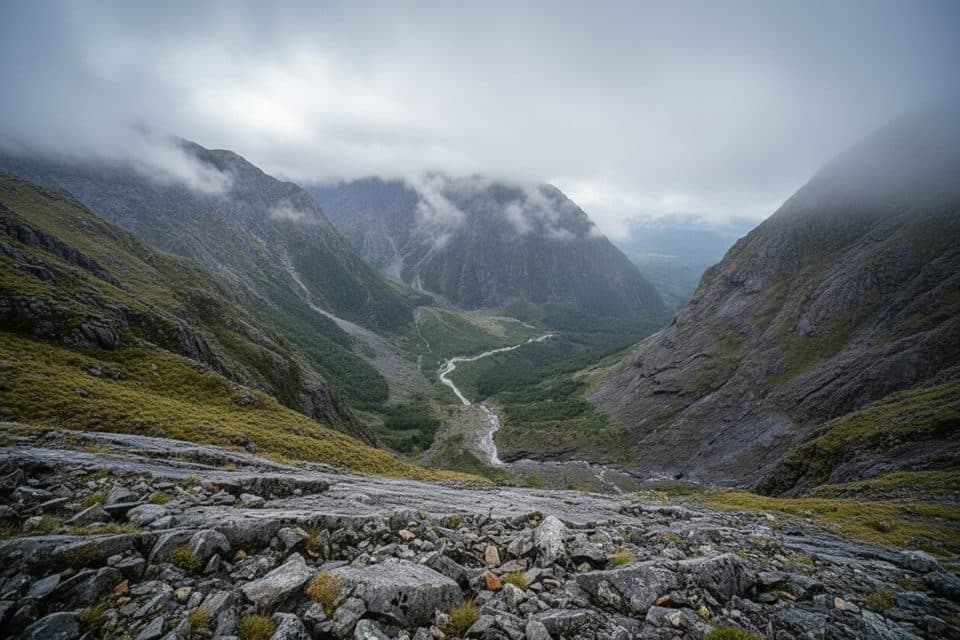 ChallengingGrave–Talbot Track7.2 km · 4 hr · 6.8 km awayA hard, rough out-and-back from Gulliver River Bridge to the Esperance River grasslands.
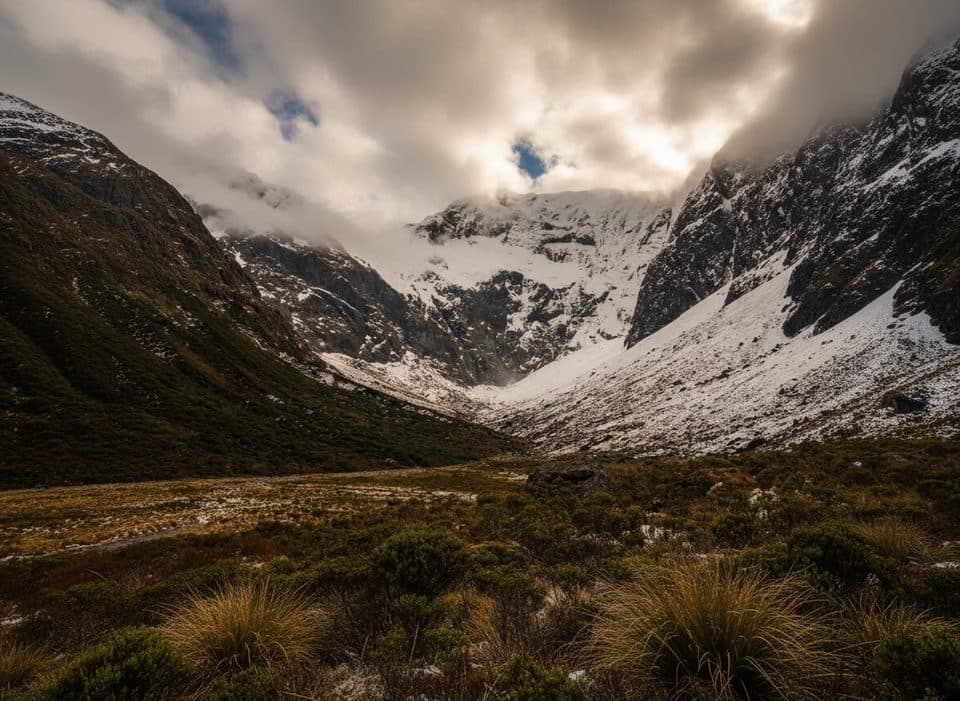 ChallengingFalls Creek Route6.8 km · 8 hr · 9.2 km awayAn expert route from Christie Falls into raw Fiordland backcountry
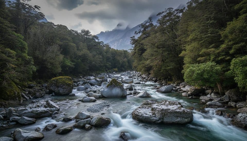 ChallengingTūtoko Valley Route9.3 km · 5 hr · 9.9 km awayA challenging, rough valley route from Tūtoko Bridge to open flats beneath Fiordland peaks
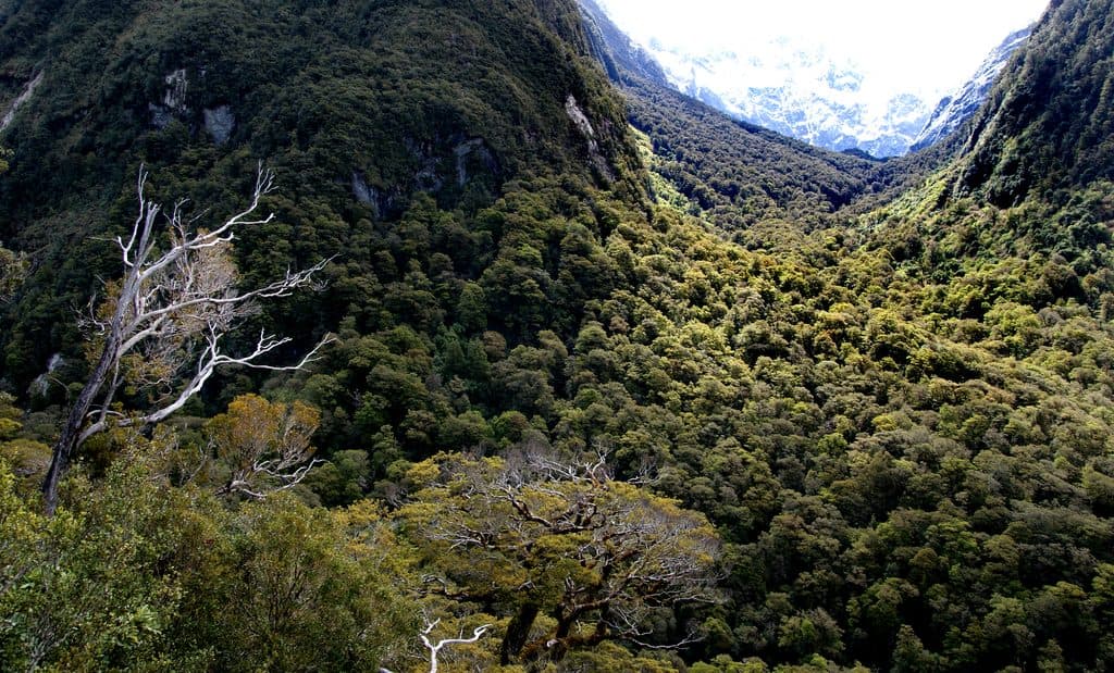 ChallengingLake Marian Track6.3 km · 3 hr · 10.2 km awayShort, rough climb to a mirror-still alpine lake in a hanging valley
 Sight · 0.7 km awayHomer TunnelNarrow alpine tunnel that unlocks the road to Milford Sound
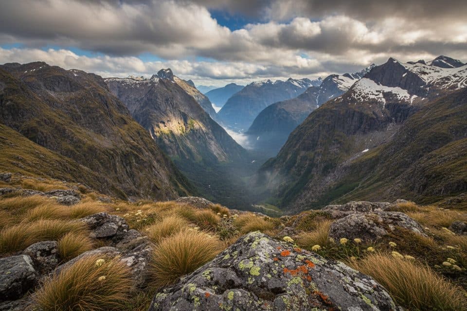 Sight · 3.2 km awayGertrude SaddleAlpine saddle with Milford Sound views via steep slabs and Black Lake
 Scenic pullout · 4.7 km awayMonkey CreekGlacier-clear water and cheeky kea at a dramatic roadside valley
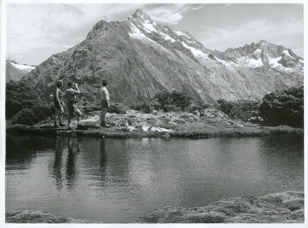 Sight · 5.6 km awayMount ChristinaA towering Darrans peak dominating views along the Milford Road
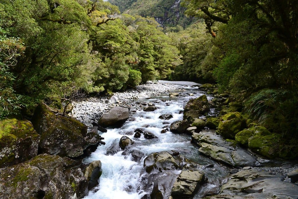 Sight · 5.7 km awayThe ChasmShort walk to a roaring, river‑carved chasm of sculpted rock
 Sight · 7.2 km awayHinepipiwai / Lake MarianMirror-still alpine lake in a dramatic hanging valley
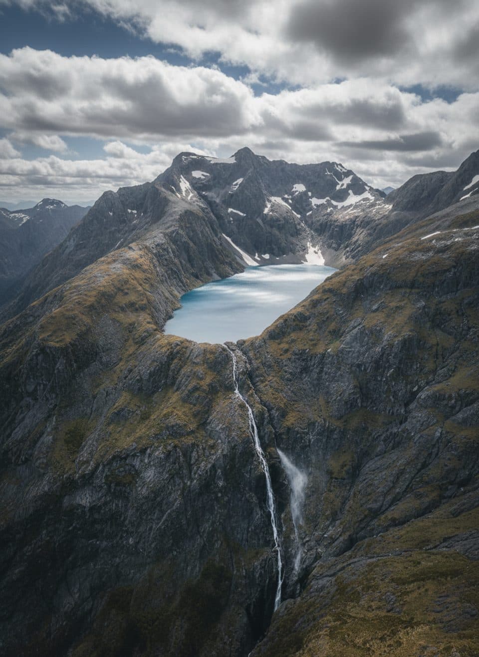 Sight · 8.2 km awayLake ErskineRemote alpine lake of shifting colors, reached by helicopter
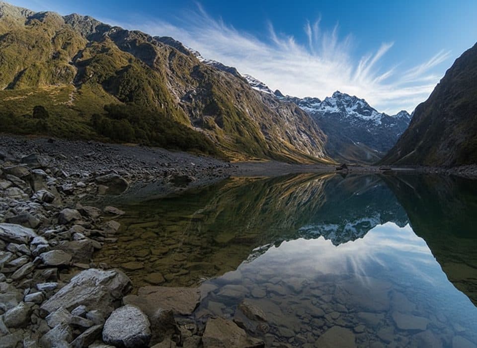 Sight · 9 km awayLake Marian LookoutShort walk to a gantry over thundering Marian Falls
Parkwolf’s Fiordland ranking

The audio tour guide for the drive, plus offline maps, trails, and wildlife heatmaps for when the signal drops.


