Pros & cons
PROS
- Hulking Darrans summit rising ~2,000 m above the Hollyford Valley
- Remote, wild feel and a prized alpine objective for experienced climbers
CONS
- No amenities or marked trails; true backcountry terrain
- Fickle Fiordland weather and complex, technical routefinding
Overview
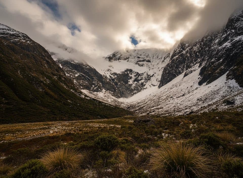
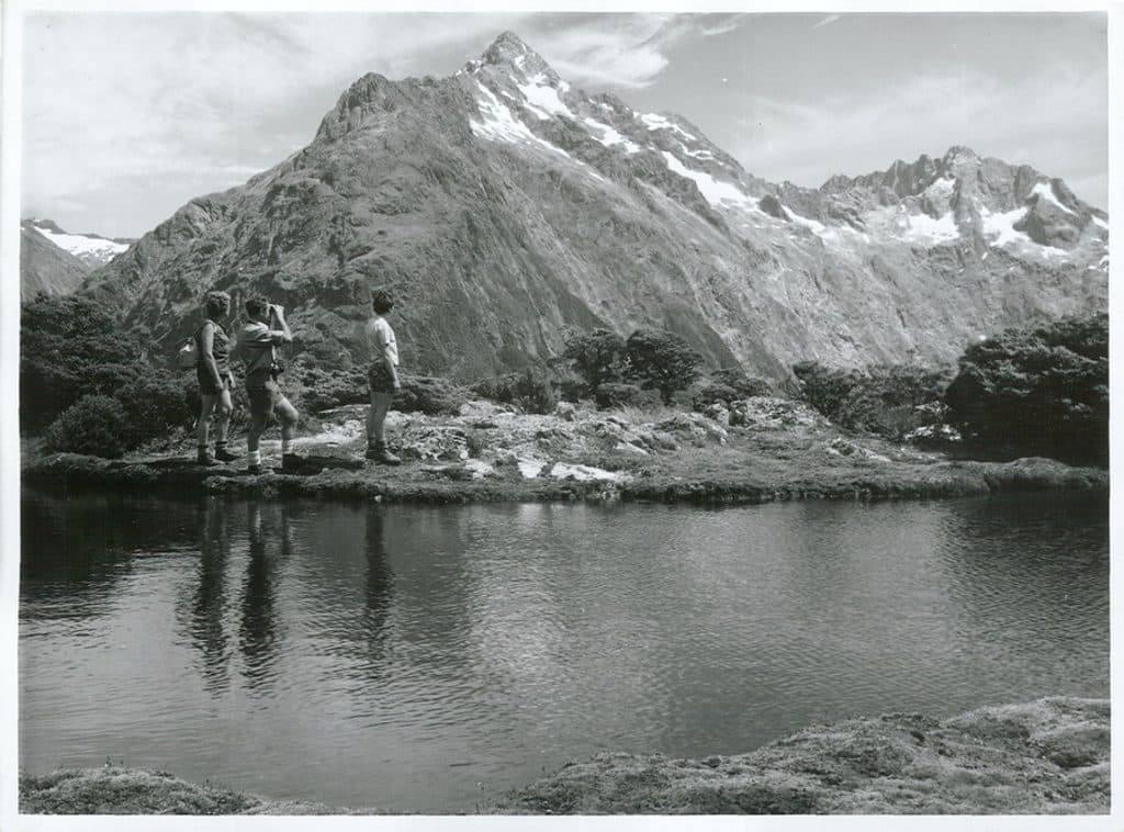
Mount Christina is one of the Darran Mountains’ big, brooding landmarks, looming above the Milford Road corridor and Hollyford Valley. Its summit rockets nearly 2,000 meters from valley floor to skyline in just a couple of kilometers, which is why it dominates views from places like Homer Saddle and along the drive.
What makes it special
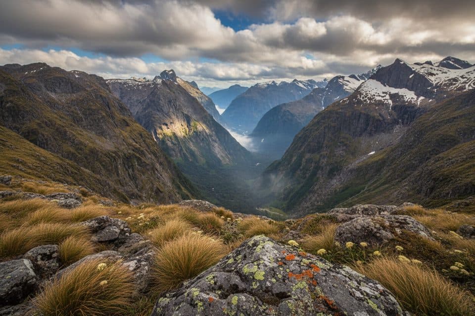
It’s the combination of scale and relief: a massive, blocky summit shouldered by steep ridges and persistent snowfields. On clear days you’ll get sweeping views over the Hollyford and Gertrude valleys and neighboring Darrans peaks. Even if you never set foot on its flanks, Christina anchors the landscape you see from the road and, in places, from the Routeburn Track.
Seeing it without climbing
Most visitors admire Christina from pull-offs along the Milford Sound highway. The mountain’s silhouette is obvious in the high valleys; pause when the clouds lift and you’ll understand why drivers keep stopping for photos.
For alpinists
This is not a casual hike. Approaches typically begin from the Milford Road area (often via Homer Saddle or Cirque Creek), with parties using high bivvy sites. Expect steep, complex terrain, shrinking snowfields, and real exposure. There’s also a noted naming/mapping quirk around the “North Peak” (Pt 2324 vs Pt 2284 on some maps), so cross‑check route descriptions against topo before you go. The first recorded ascent dates to 1926.
Wildlife
Kea are often encountered around high alpine areas here, and visitors along the road have reported kea sightings near the mountain. Keep your distance and your snacks zipped up.
Know before you go
There are no facilities of any kind at Mount Christina—no trailhead, parking, toilets, or water taps. Weather is notoriously changeable; navigation is demanding; and the remoteness adds consequence. Come only if you’re fully kitted out and experienced, or enjoy it from the road.
Best time to visit
Aim for clear weather windows—cloud can sock in the peaks fast. Snow often lingers on the summit ridges, and late winter to spring photos can pop with fresh snow contrast. For climbers, wait for a solid forecast and plan for multi‑day flexibility.

Where it is
-44.7925, 168.0483Tips for Mount Christina
- 01Best roadside looks are along the Milford Road near the high valleys and saddles.
- 02If climbing, study routes from Homer Saddle or Cirque Creek and plan a high bivvy.
- 03Cross‑check the North Peak mapping quirk (Pt 2324 vs Pt 2284) before navigating.
- 04Expect kea around roadside stops; keep food and loose gear secured.
Near Mount Christina
All places →All trails →
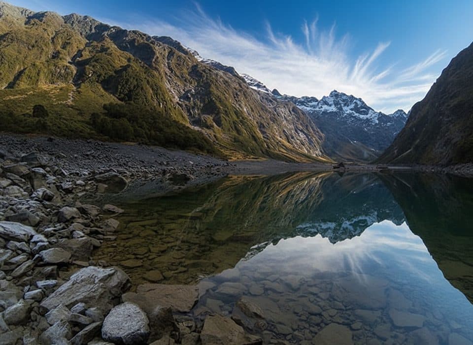
1.4 mi awayHinepipiwai / Lake MarianMirror-still alpine lake in a dramatic hanging valleyScenic Viewpoint
1.4 mi awayMonkey CreekGlacier-clear water and cheeky kea at a dramatic roadside valleyPullout · Parking
2.2 mi awayLake Marian LookoutShort walk to a gantry over thundering Marian FallsScenic Viewpoint
2.3 mi awayFalls Creek RouteSteep Fiordland route to a lonely ice-flecked alpine cirqueChallenging · 7.9 mi · 4 hr
2.7 mi awayMarian CascadeQuick, roaring cascades a short stroll from the Lake Marian trackTrailhead · Restroom
2.9 mi awayLake Marian TrackShort, rough climb to a mirror-still alpine lake in a hanging valleyChallenging · 4.4 mi · 3.5 hr
2.9 mi awayMarian Falls TrackA quick rainforest stroll to photogenic cascades and a swing bridgeEasy · 0.5 mi · 30 min
3.1 mi awayPop's View Lookout WalkRoadside panorama over the Hollyford Valley with kea and a memorialEasy · 0.2 mi · 15 min