Best time to visit
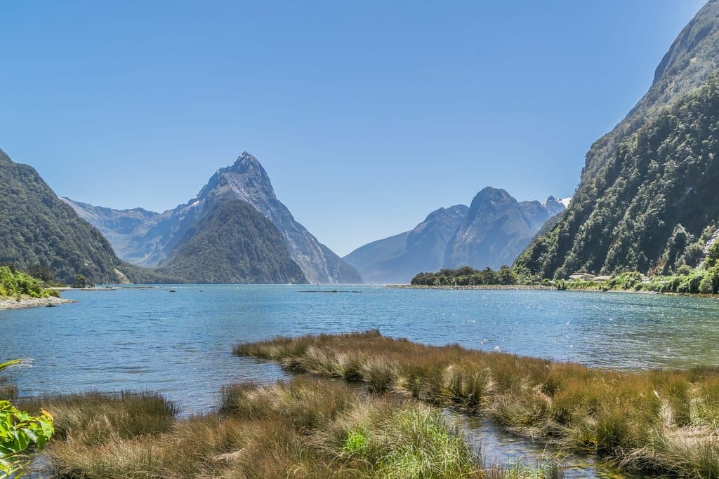
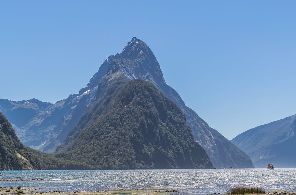
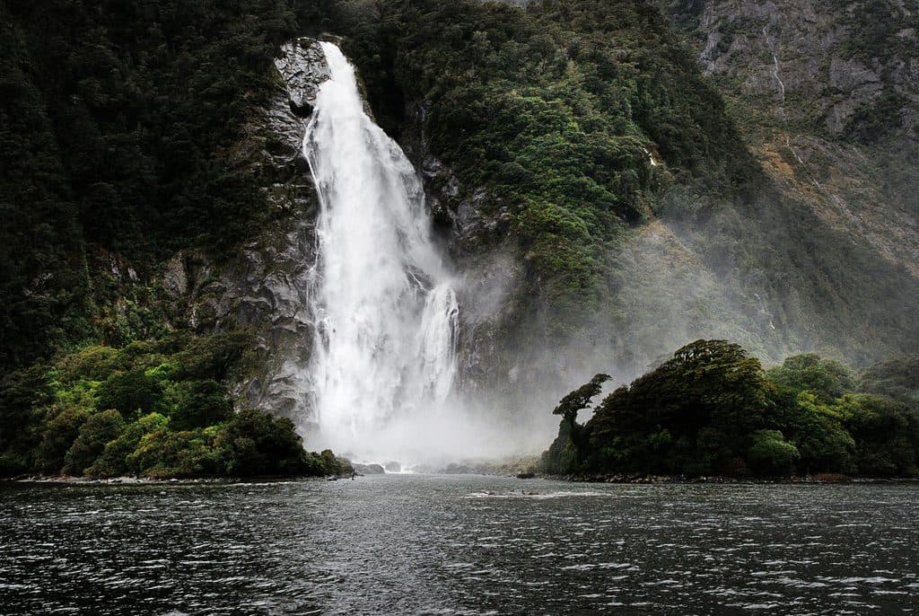
Pick a calm weather window for those mirror reflections. After heavy rain, the waterfalls put on a show but the track gets slick. Weekdays typically mean easier parking and fewer people compared to peak times along Milford Road.

#7 of 91 sights in Fiordland
Sight · Fiordland National Park
Mirror-still alpine lake in a dramatic hanging valley
Overview
Hinepipiwai / Lake Marian is a classic Fiordland alpine lake perched in a glacially carved hanging valley. Sheer peaks crowd close to a clear, cold basin that turns glassy on calm days, throwing up perfect reflections. It’s the kind of destination that feels earned: remote vibes without needing a multi-day mission.
Map
Local know-how
Time your hike for a calm weather window to score reflections.
Wear long pants—ongaonga (stinging nettle) borders parts of the track.
Download offline maps; there’s no mobile coverage.
After heavy rain, expect slick rocks and mud but spectacular waterfalls.
In winter, avoid the lake edge due to snow and avalanche risk.
Plan your stop

The highest, rockiest slopes around here are a summer buffet for grizzly bears.
Fiordland Tour Guide
Parkwolf is a GPS audio tour guide for Fiordland National Park. As you drive, it chimes in with what’s ahead: hidden gems, upcoming stops, history, geology, and wildlife, right through your car’s speakers.
See the Fiordland audio tourRecorded for this area
Marian Cascade: A Powerful Short Walk“You're approaching the car park for the Lake Marian Track. Even if you don't have time for the full three-hour hike to the lake, the first section here is a fantastic quick stop.”
Plays on the road 2.9 km from Hinepipiwai / Lake Marian in the Parkwolf Fiordland Tour Guide.
More stories near here in the app
“Fantastic app with many points of information… It’s great to just turn on while you’re driving and it gives you an audio tour of the national Park. We love it!!!!”


Guide
Few places in the park combine a hanging valley, a pristine alpine lake, and so many waterfalls in one half-day push. On a calm day, the reflections are unreal—arguably some of the most photogenic scenes on the Milford Road corridor.
Expect an advanced tramping track after the falls: steep, rocky, rooty, and muddy when wet. It’s straightforward for fit hikers but not a groomed stroll. In winter, snow and avalanche risk are real—avoid the lake edge in those conditions. Watch for ongaonga (New Zealand stinging nettle); long pants help. There’s no mobile signal, so come prepared and carry what you need.
You’re moving through healthy Fiordland forest and alpine edges where native birds are common. The stinging nettle here is also habitat for native red admiral caterpillars—another reason to look, not touch.
A cold dip is possible if you’re keen—the lake is beautiful and freezing. Bring layers, sturdy boots, water, food, and offline navigation.
Wildlife
 1,181 sightingsKeaMost seen around 10 AMSighting map
 199 sightingsFiordland PenguinMost seen around 7 PMSighting map
 228 sightingsBlue DuckMost seen around 5 PMSighting map
 32 sightingsBottlenose DolphinMost seen around 5 PMSighting map
 247 sightingsNew Zealand Fur SealMost seen around 6 PMSighting map
 58 sightingsKākāMost seen around 6 PMSighting map
Sighting maps show where each species has been reported across Fiordland. Wildlife moves, so no sighting is guaranteed.
Keep exploring
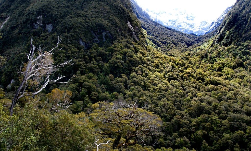 ChallengingLake Marian Track6.3 km · 3 hr · 3.3 km awayShort, rough climb to a mirror-still alpine lake in a hanging valley
 EasyMarian Falls Track1.3 km · 20 min · 3.3 km awayA quick rainforest stroll to photogenic cascades and a swing bridge
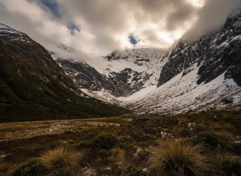 ChallengingFalls Creek Route6.8 km · 8 hr · 3.5 km awayAn expert route from Christie Falls into raw Fiordland backcountry
 EasyPop's View Lookout Walk0.2 km · 15 min · 3.6 km awayRoadside panorama over the Hollyford Valley with kea and a memorial
 ModerateRouteburn Track to Lake Mackenzie11.3 km · 5.5 hr · 5.4 km awayBeech forest, Earland Falls, and a glassy alpine lake
 ModerateRouteburn Track to Earland Falls13.4 km · 6 hr · 5.4 km awayA full-day walk to Fiordland's 174 m waterfall
 EasyLake Howden Track6.8 km · 3 hr · 5.4 km awayA short beech-forest walk from The Divide to Lake Howden.
 ModerateCaples Track33.5 km · 15 hr · 5.4 km awayPoint-to-point tramp through the Caples valley to The Divide Shelter
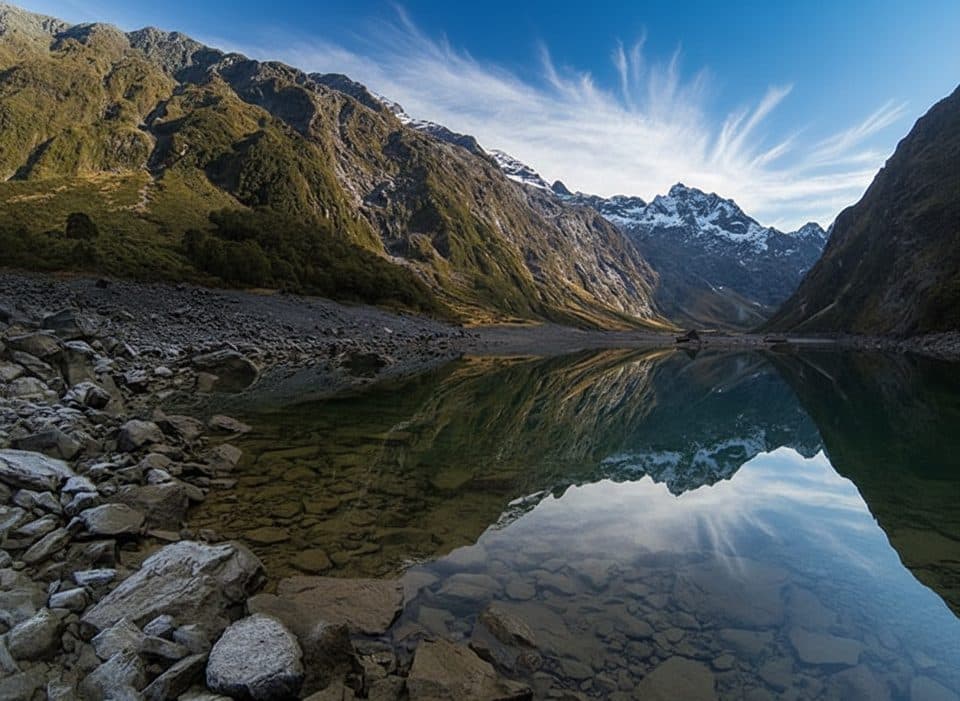 Sight · 2.1 km awayLake Marian LookoutShort walk to a gantry over thundering Marian Falls
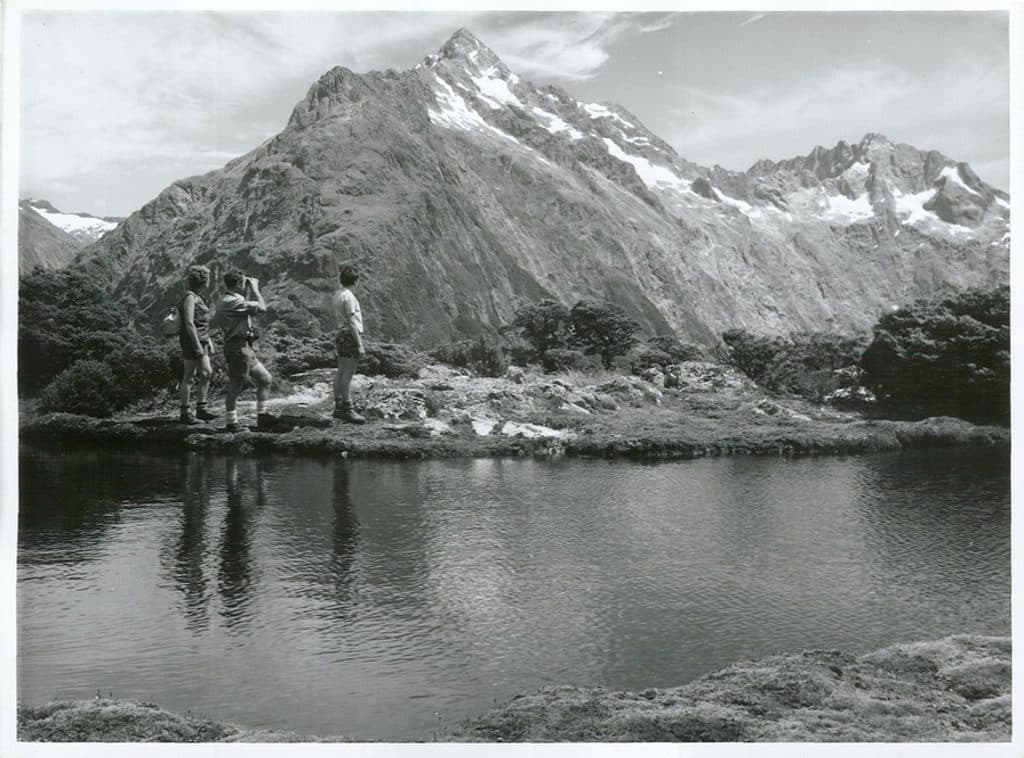 Sight · 2.3 km awayMount ChristinaA towering Darrans peak dominating views along the Milford Road
 Sight · 2.9 km awayMarian CascadeQuick, roaring cascades a short stroll from the Lake Marian track
 Scenic pullout · 3.6 km awayPop's View LookoutQuick pull-off with big Hollyford Valley views and cheeky kea
 Scenic pullout · 4.6 km awayMonkey CreekGlacier-clear water and cheeky kea at a dramatic roadside valley
 Sight · 5.3 km awayKey Summit Lookout360-degree alpine views and tarns via a short Routeburn side trip
 Trailhead · 5.4 km awayThe DivideBusy gateway to Routeburn and Key Summit with shelter and toilets
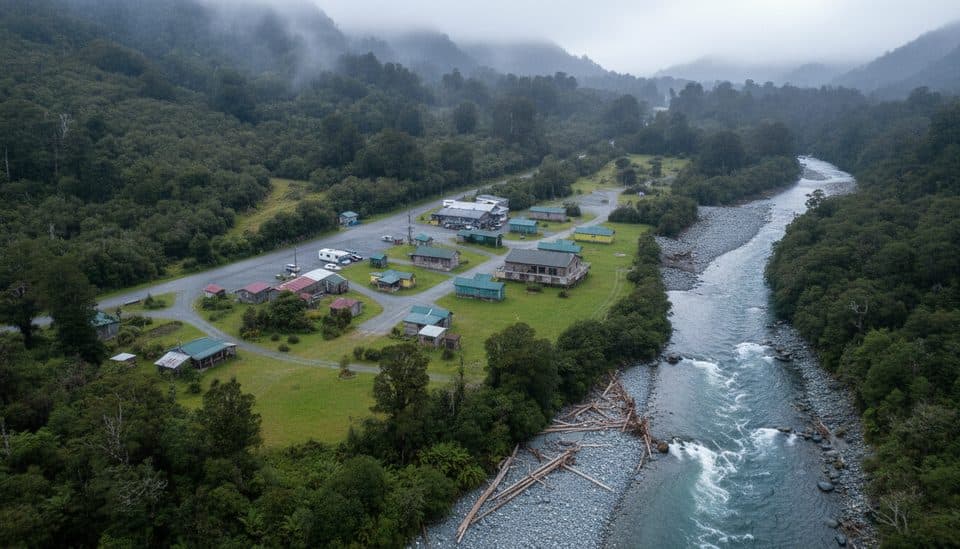 Campground · 5.8 km awayGunn’s CampHistoric Hollyford camp ruined by landslide, story still lingers
Parkwolf’s Fiordland ranking

The audio tour guide for the drive, plus offline maps, trails, and wildlife heatmaps for when the signal drops.