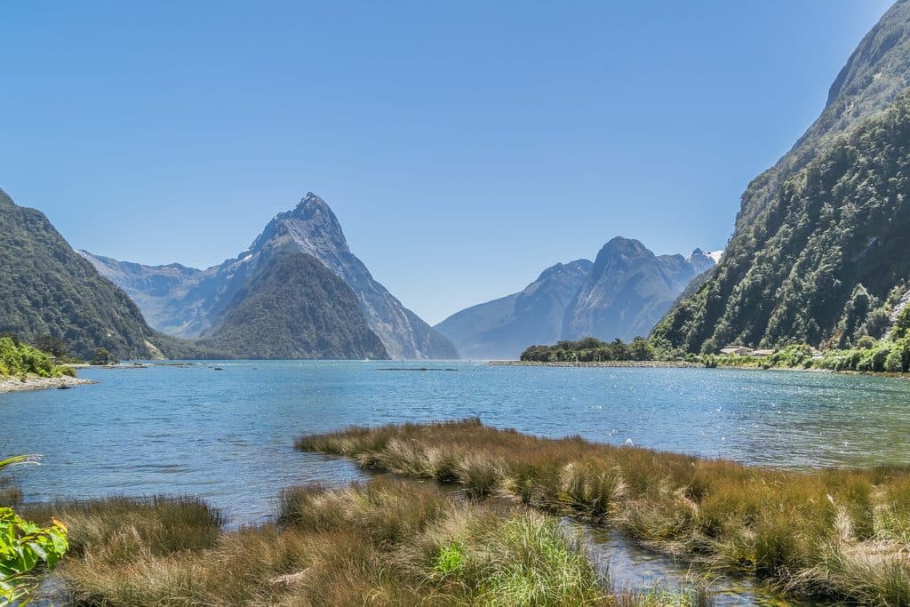
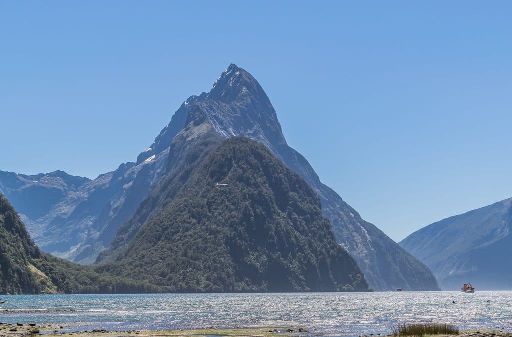
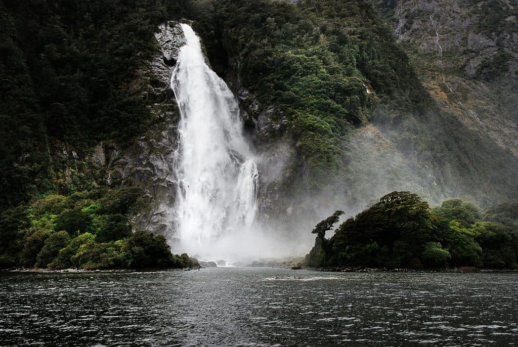
Best time to visit
- After rain for maximum drama in the falls (expect spray and wet surfaces)
- Early morning or late afternoon to dodge bus tour crowds
- Midday can be the busiest and harshest for photography
Sight · Fiordland National Park
Short walk to a roaring, river‑carved chasm of sculpted rock
Overview
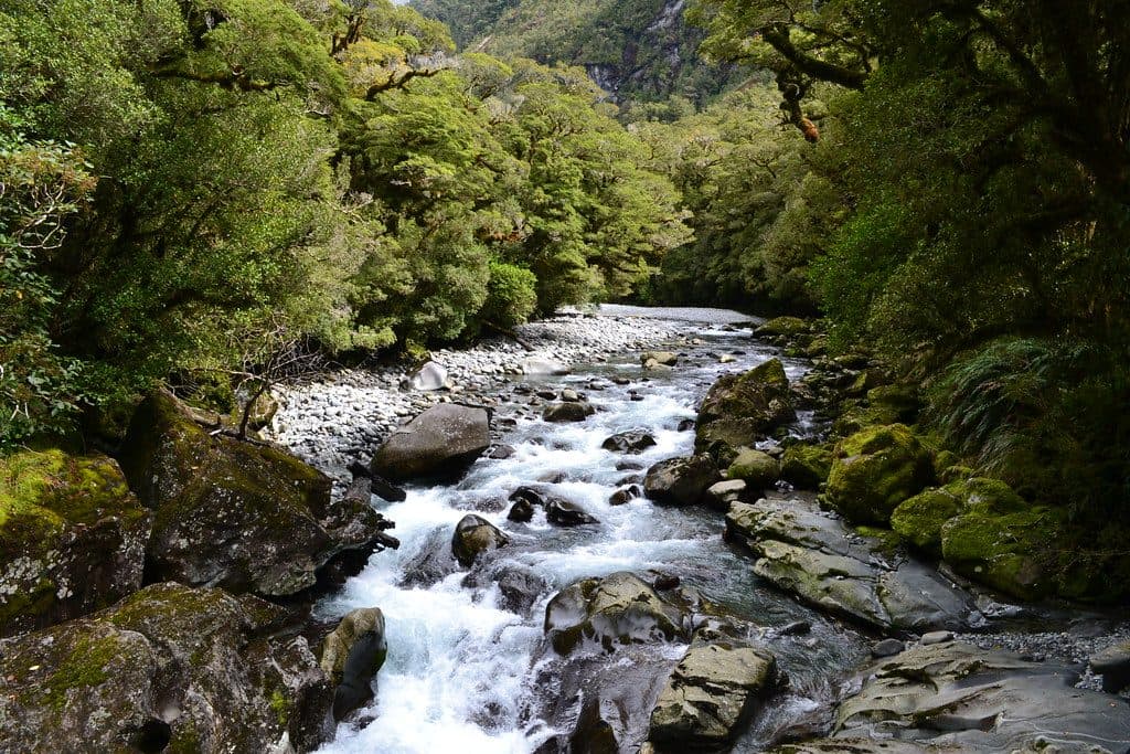
A swift, rewarding stop on the Milford Road, The Chasm is where the Cleddau River has carved a narrow gorge into fantastically smooth basins and potholes. You don’t get a classic wide waterfall panorama here—you look down into a thundering slot where water has sculpted the rock into wild shapes.
Centuries of river flow, plus gravel and stones trapped in eddies, have ground the bedrock into polished basins and unusual patterns. It’s mesmerizing—and tricky to photograph well because of the depth and angles, so set expectations accordingly.
 Parkwolf’s verdictWhy It’s Special
Map
Local know-how
Visit after rain for maximum power and drama.
Go early or late to miss the tour bus rush.
Bring strong insect repellent—sandflies are persistent.
There are no facilities here; plan bathroom and water stops in advance.
Mind your footing and keep gear secure when leaning over railings.
Plan your stop

The highest, rockiest slopes around here are a summer buffet for grizzly bears.
Fiordland Tour Guide
Parkwolf is a GPS audio tour guide for Fiordland National Park. As you drive, it chimes in with what’s ahead: hidden gems, upcoming stops, history, geology, and wildlife, right through your car’s speakers.
See the Fiordland audio tourRecorded for this place
The Chasm's Sculpted Rock and Powerful Water“Up ahead is the stop for The Chasm, and it's a great use of twenty minutes. An easy loop walk on boardwalks takes you over a narrow, roaring gorge.”
Plays as you drive up to The Chasm in the Parkwolf Fiordland Tour Guide.
More stories near here in the app
“Fantastic app with many points of information… It’s great to just turn on while you’re driving and it gives you an audio tour of the national Park. We love it!!!!”


Guide
From the signposted car park, a short loop (about 400 m; roughly 10–20 minutes return) leads over boardwalks and bridges to vantage points directly above the chasm. It’s an easy add-on en route to or from Milford Sound.
Kea—the cheeky alpine parrots—are commonly seen around this stop, along with forest birdsong in the surrounding beech.
There’s a dedicated car park and marked trailhead, but no facilities—plan bathroom and water stops elsewhere. Sandflies are common. Stay on the path and use railings; rocks can be wet and the water is powerful. The track was damaged in a 2020 storm and has since been largely repaired; check current DOC updates before you go.
Absolutely as a quick stop: it’s a distinctive, sensory experience—more about the sound and sculpted geology than big vistas—and a no‑brainer 20 minutes on the Milford run.
Wildlife
 1,181 sightingsKeaMost seen around 10 AMSighting map
 199 sightingsFiordland PenguinMost seen around 7 PMSighting map
 228 sightingsBlue DuckMost seen around 5 PMSighting map
 32 sightingsBottlenose DolphinMost seen around 5 PMSighting map
 247 sightingsNew Zealand Fur SealMost seen around 6 PMSighting map
 58 sightingsKākāMost seen around 6 PMSighting map
Sighting maps show where each species has been reported across Fiordland. Wildlife moves, so no sighting is guaranteed.
Keep exploring
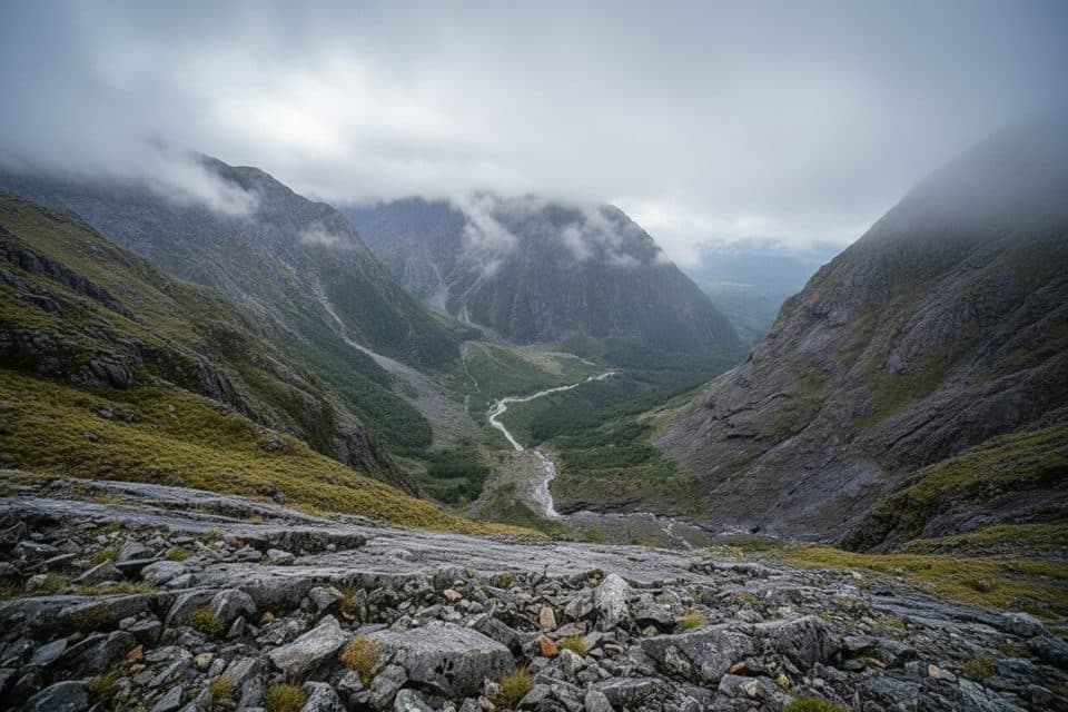 ChallengingGrave–Talbot Track7.2 km · 4 hr · 2.3 km awayA hard, rough out-and-back from Gulliver River Bridge to the Esperance River grasslands.
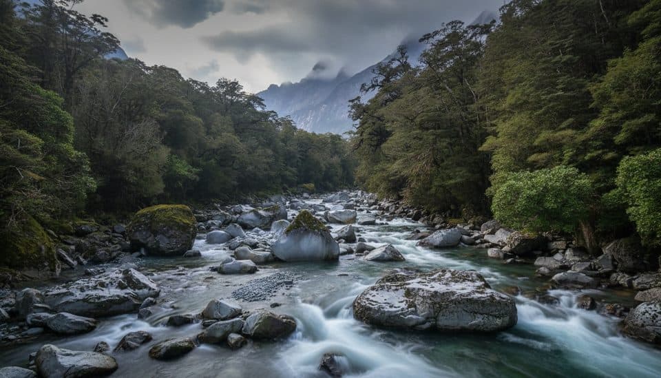 ChallengingTūtoko Valley Route9.3 km · 5 hr · 4.9 km awayA challenging, rough valley route from Tūtoko Bridge to open flats beneath Fiordland peaks
 EasyMilford Track: Sandfly Point to Giant Gate Falls10.5 km · 3.5 hr · 5.6 km awayA gentle Milford Track day walk to a 30 m waterfall
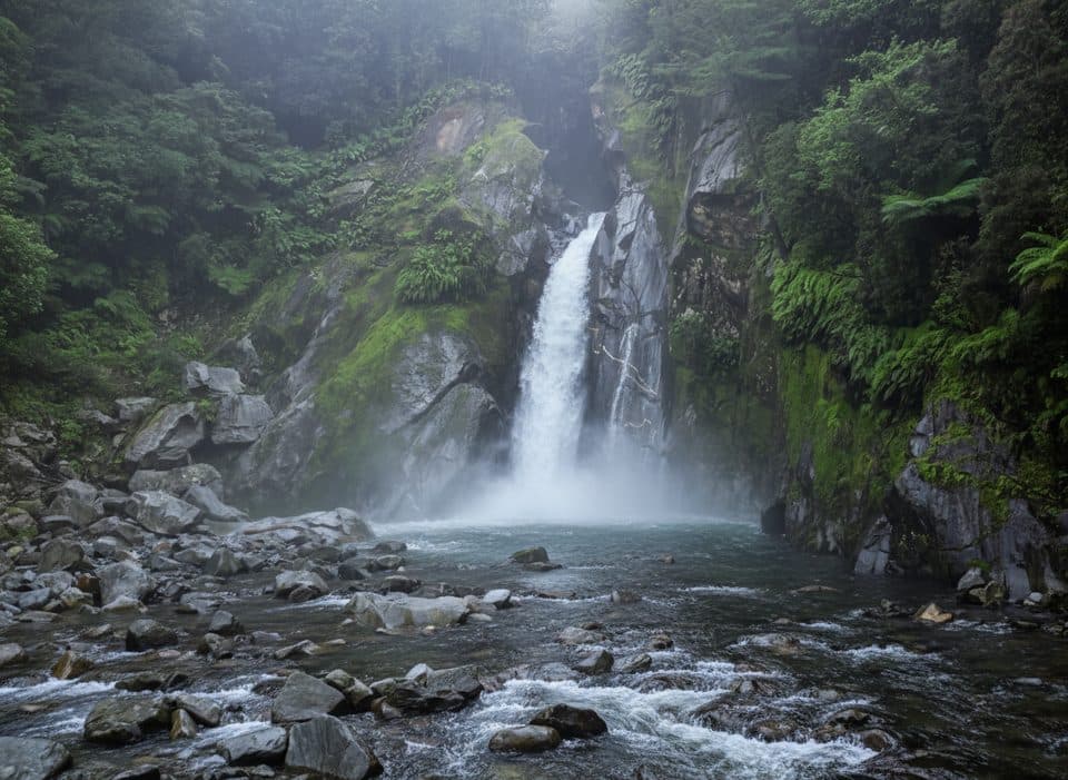 EasyGiant Gate Falls Track10.9 km · 3 hr · 5.6 km awayEasy Milford Track day walk to the swing-bridge view of Giant Gate FallsEasyEast Homer Nature Walk0.9 km · 20 min · 5.7 km awayA quick alpine out-and-back beside the Homer Tunnel, with native flora and kea sightings.
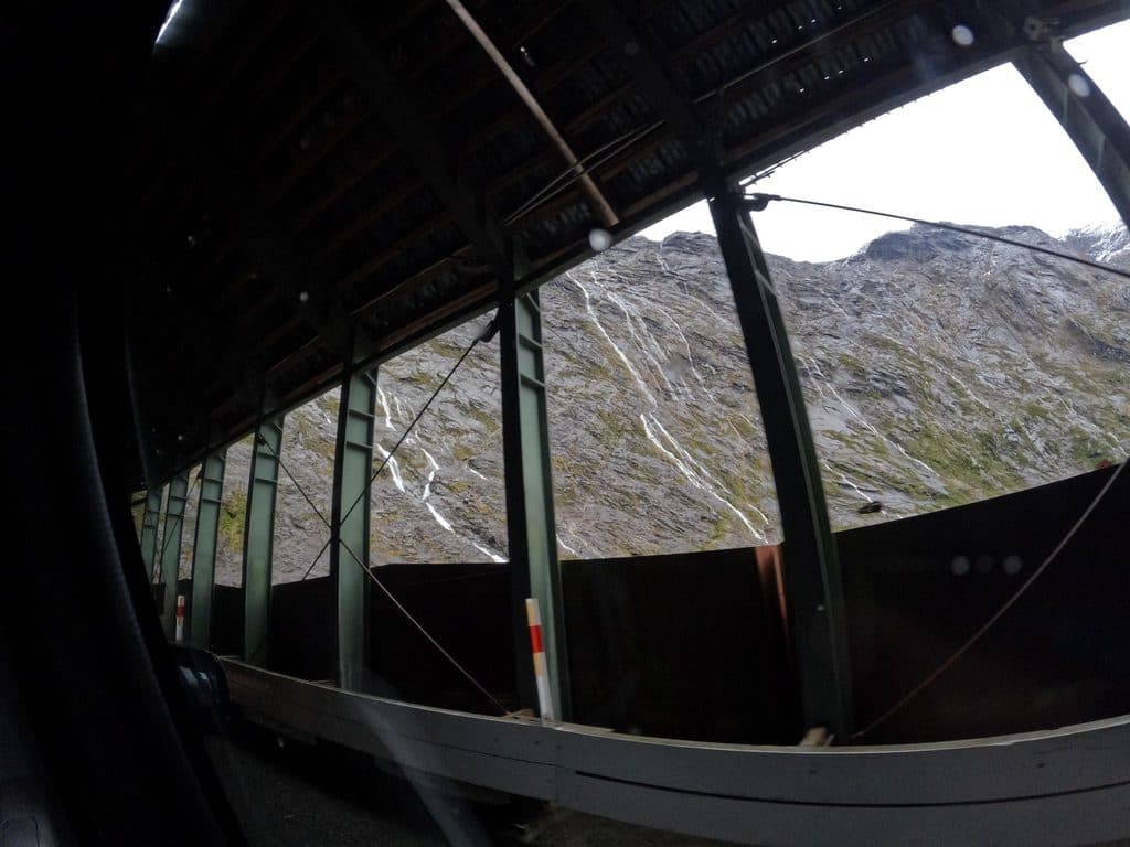 EasyHomer Tunnel Nature Walk0.7 km · 20 min · 5.7 km awayA short self-guided alpine loop beside Homer Tunnel’s Hollyford-side portal
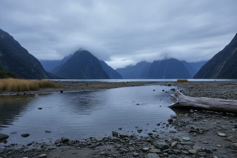 EasyMilford Foreshore Walk0.4 km · 30 min · 5.8 km awayIconic Mitre Peak views on a quick, flat foreshore loop
 Scenic pullout · 4.9 km awayTūtoko River LookoutRoadside bridge view of blue river and Fiordland peaks
 Restaurant · 5.1 km awayPio PioRefined, local fare in a rare Milford Sound sit-down spot
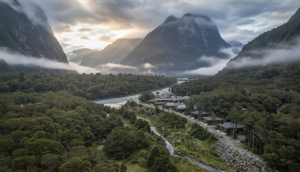 Lodging · 5.1 km awayMilford Sound LodgeThe only stay in Milford, with chalets and campervan sites
 Sight · 5.3 km awayHomer TunnelNarrow alpine tunnel that unlocks the road to Milford Sound
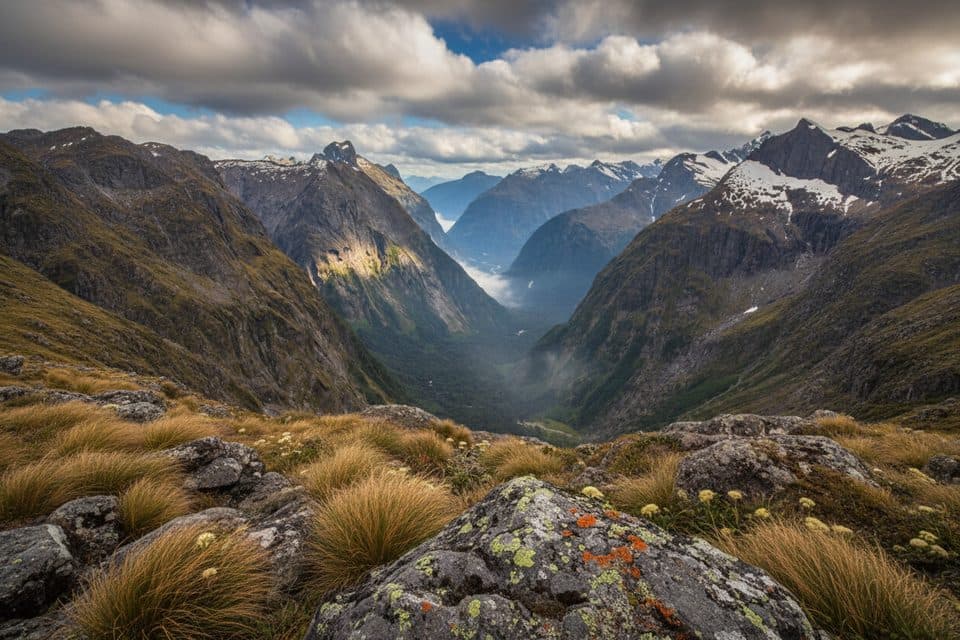 Sight · 5.4 km awayGertrude SaddleAlpine saddle with Milford Sound views via steep slabs and Black Lake
 Trailhead · 5.6 km awaySandfly PointMilford Track’s buggy, beautiful finish on the fiord’s edge
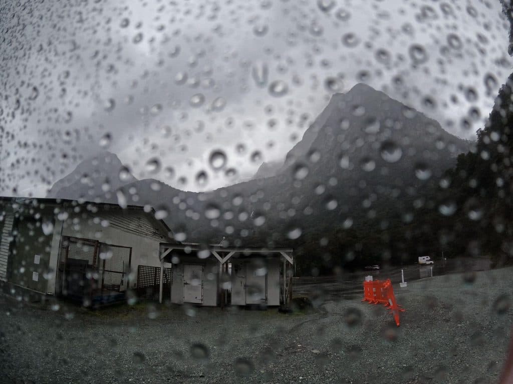 Gas station · 5.7 km awayAlliedMilford Sound’s lone 24/7 fuel pump for top-ups and close calls
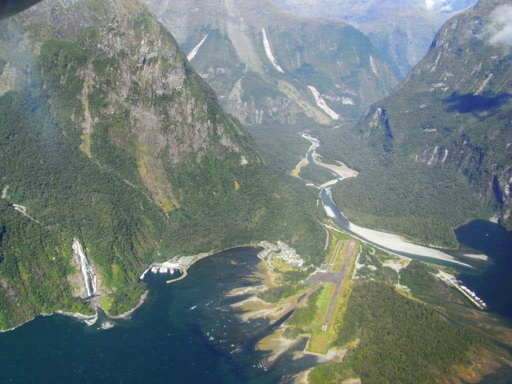 Sight · 5.7 km awayMilford Sound AirportTiny airstrip in jaw-dropping fiord scenery, hub for scenic flights
Parkwolf’s Fiordland ranking
The audio tour guide for the drive, plus offline maps, trails, and wildlife heatmaps for when the signal drops.