Parking
Use the Hollyford Track road end on Hollyford Road. This section starts at Hidden Falls Hut, reached on the preceding Hollyford stage, so the road end is not the route start.

Fiordland National Park, SL
A quiet forest traverse to Fiordland’s lakeside hut
Overview
Map & elevation
Plan your hike

The highest, rockiest slopes around here are a summer buffet for grizzly bears.
Fiordland Tour Guide
Parkwolf is a GPS audio tour guide for Fiordland National Park. As you drive, it chimes in with what’s ahead: hidden gems, upcoming stops, history, geology, and wildlife, right through your car’s speakers.
See the Fiordland audio tourMore stories near here in the app
“Fantastic app with many points of information… It’s great to just turn on while you’re driving and it gives you an audio tour of the national Park. We love it!!!!”


Trail guide
This is a 7.5-mile point-to-point walk from Hidden Falls Hut to Lake Alabaster Hut. Allow 3 to 4 hours for the section, with time for the forest, river flats, and the lake at the end. Plan your onward travel before setting out: this trail does not return you to the road end.
The Hollyford stays low through mossy forest and open valley sections, with the track crossing small streams and swing bridges along the way. It is generally well formed, but wet weather brings mud, roots, and slippery footing. The reward is a long, quiet approach to Whakatipu Ka Tuku / Lake Alabaster, with steep Fiordland ranges closing in around the water.
Lake Alabaster Hut sits on the lake shore and makes a satisfying destination or overnight stop. Look back across the water from the shore near the hut for the best chance of a mountain reflection when the surface is calm. Sandflies are part of the deal, especially around the hut and lakeshore, so keep repellent handy.
Reach Hidden Falls Hut from the Hollyford Track road end on the preceding section; parking is at the road end, not at this route's start. Fiordland weather changes quickly, and there is no cell service on the track. If you continue beyond Lake Alabaster toward the Demon Trail, expect a much rougher and slower route than this valley section.
Wildlife
 1,181 sightingsKeaMost seen around 10 AMSighting map
 199 sightingsFiordland PenguinMost seen around 7 PMSighting map
 228 sightingsBlue DuckMost seen around 5 PMSighting map
 32 sightingsBottlenose DolphinMost seen around 5 PMSighting map
 247 sightingsNew Zealand Fur SealMost seen around 6 PMSighting map
 58 sightingsKākāMost seen around 6 PMSighting map
Sighting maps show where each species has been reported across Fiordland. Wildlife moves, so no sighting is guaranteed.
Keep exploring
 ModerateHidden Falls Track29 km · 5.5 hr · 7.7 km awayRainforest return walk to Hidden Falls and a riverside hut
 EasyHumboldt Falls Track1.2 km · 30 min · 7.7 km awayShort rainforest stroll to a big, distant waterfall viewpoint
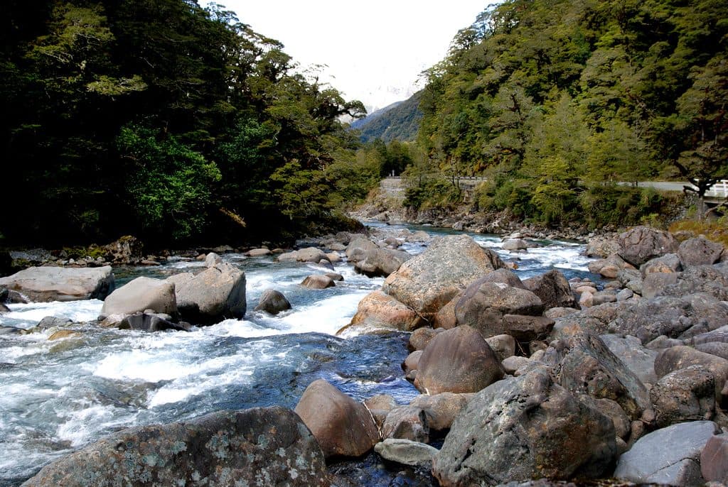 ChallengingHollyford Track56.3 km · 22 hr · 7.7 km awayA remote mountains-to-sea tramp from Lower Hollyford Road to Martins Bay.
 ModerateHollyford Track to Hidden Falls18 km · 5 hr · 7.8 km awayRainforest out-and-back to Hidden Falls and the remote Hidden Falls HutChallengingDemon Trail14.5 km · 7.5 hr · 12.4 km awayRemote, rugged Hollyford Track section from McKerrow Island Hut to Hokuri Hut
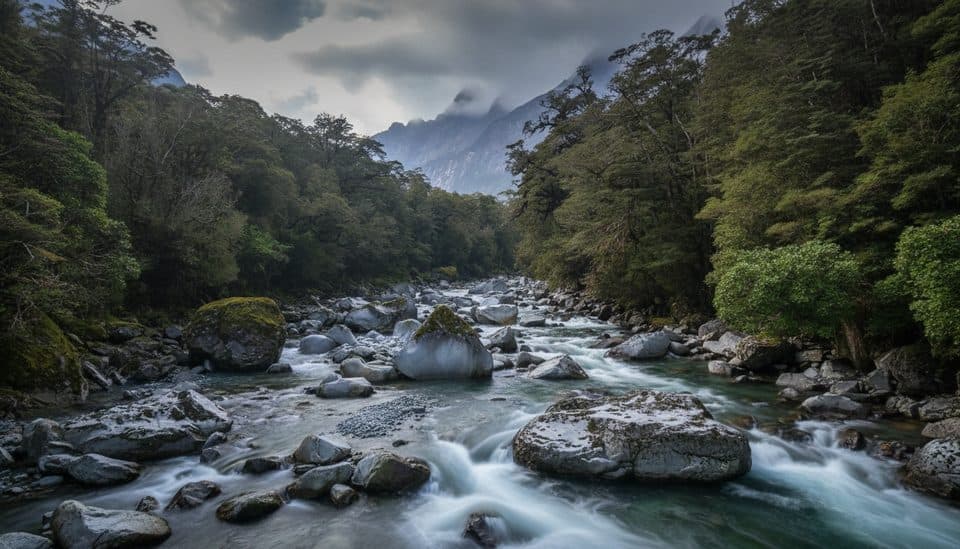 ChallengingTūtoko Valley Route9.3 km · 5 hr · 13.4 km awayA challenging, rough valley route from Tūtoko Bridge to open flats beneath Fiordland peaks
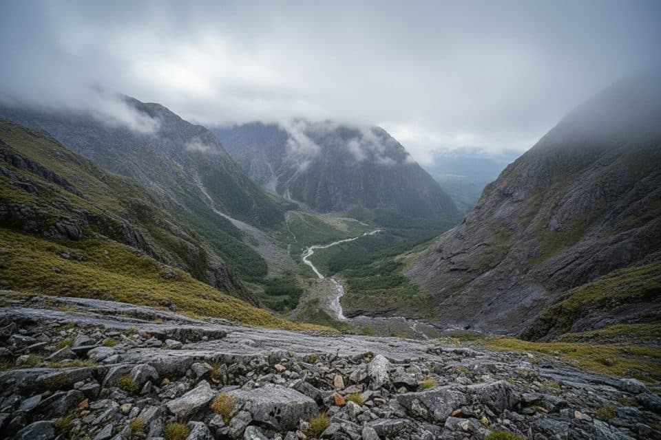 ChallengingGrave–Talbot Track7.2 km · 4 hr · 14.6 km awayA hard, rough out-and-back from Gulliver River Bridge to the Esperance River grasslands.
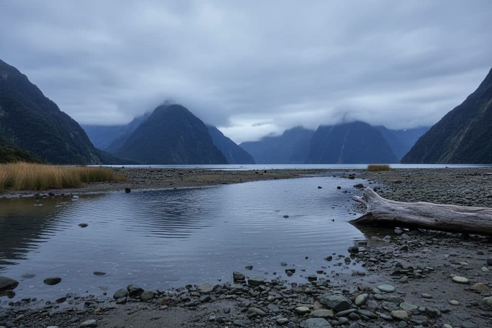 EasyMilford Foreshore Walk0.4 km · 30 min · 15.8 km awayIconic Mitre Peak views on a quick, flat foreshore loop
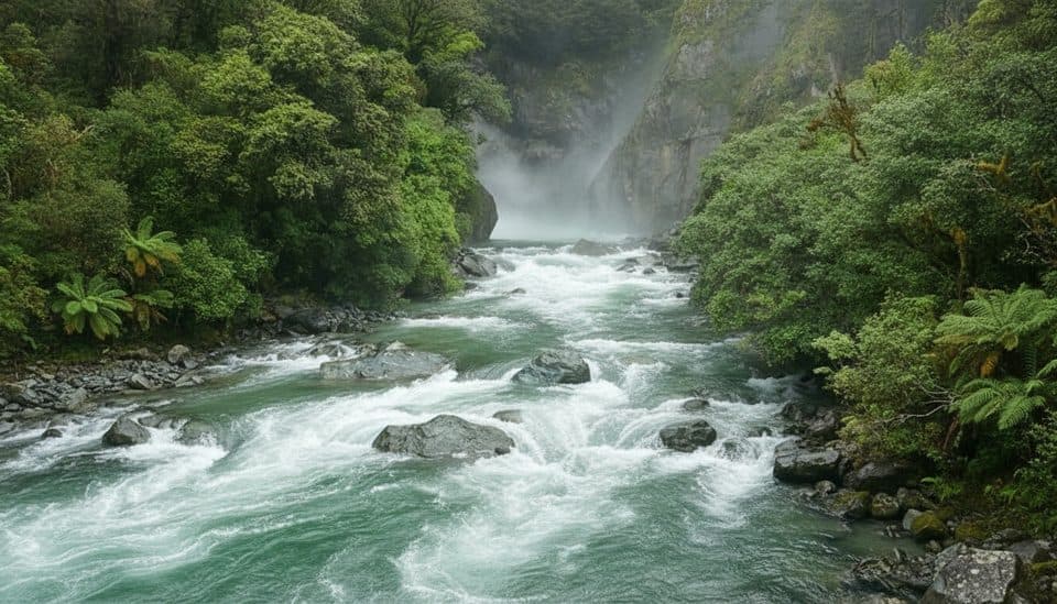 Sight · 0.9 km awayHidden FallsPowerful rainforest waterfall on a quiet Hollyford Track day walk
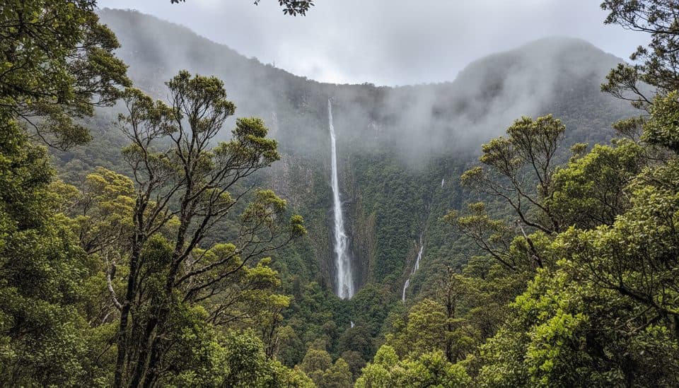 Sight · 8.2 km awayHumboldt FallsShort rainforest walk to a towering three-tiered 275 m waterfall
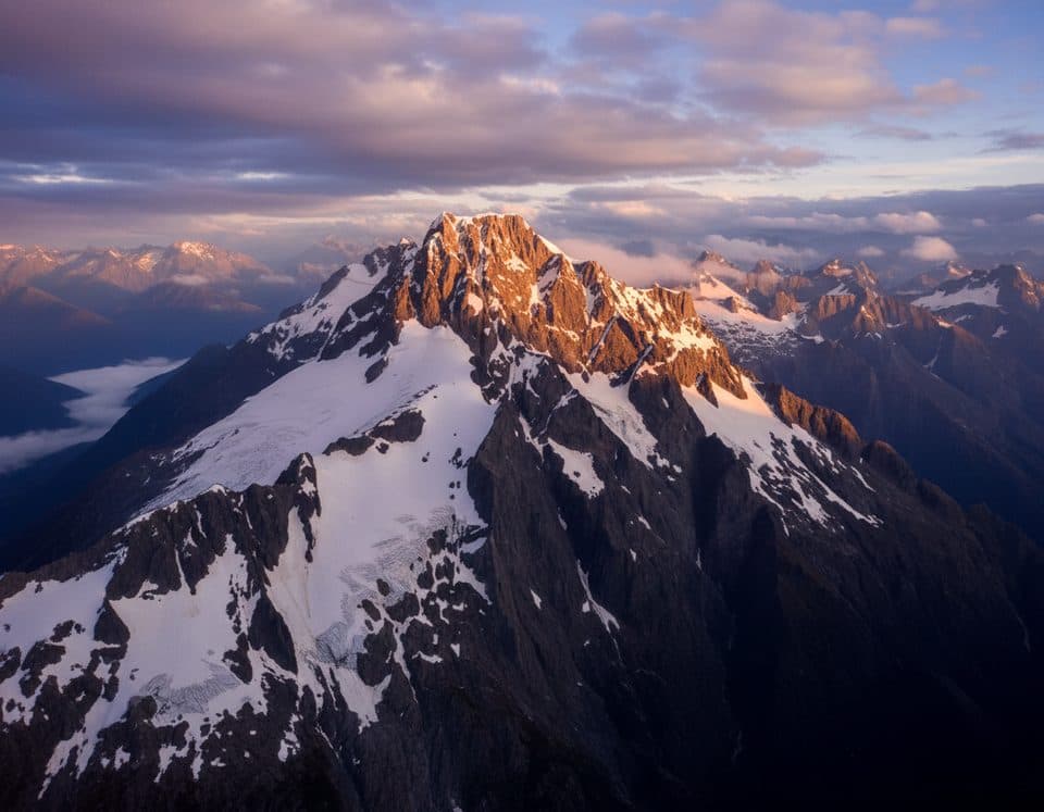 Sight · 8.8 km awayMount TūtokoThe park’s high point, a wild granite-and-glacier summit for climbers
 Sight · 12.2 km awayConical HillShort, steep spur to sweeping alpine views over Lake Harris
 Sight · 12.3 km awayHarris Saddle ShelterHigh-alpine refuge and Conical Hill kickoff with Lake Harris views
 Sight · 12.4 km awayLake Alabaster / Wāwāhi WakaRemote Fiordland lake with hut and moody, mirror-like views
 Scenic pullout · 13.4 km awayTūtoko River LookoutRoadside bridge view of blue river and Fiordland peaks
 Restaurant · 15.1 km awayPio PioRefined, local fare in a rare Milford Sound sit-down spot
Parkwolf’s Fiordland ranking

The audio tour guide for the drive, plus offline maps, trails, and wildlife heatmaps for when the signal drops.


