Parking
Park at the designated Lower Hollyford Road trailhead at the end of Hollyford Road, reached from Milford Road (SH94) at Marian Corner. Allow about two hours to drive from Te Anau. Do not block the road or park outside designated areas.

Fiordland National Park, SL
Rainforest out-and-back to Hidden Falls and the remote Hidden Falls Hut
Overview
Map & elevation
Plan your hike

The highest, rockiest slopes around here are a summer buffet for grizzly bears.
Fiordland Tour Guide
Parkwolf is a GPS audio tour guide for Fiordland National Park. As you drive, it chimes in with what’s ahead: hidden gems, upcoming stops, history, geology, and wildlife, right through your car’s speakers.
See the Fiordland audio tourRecorded for this area
The Hollyford Fault: A Straight Story“If you've noticed how this valley runs almost perfectly straight, that's no accident. You're following the Hollyford Fault, a massive, ancient crack in the Earth's crust where land slid sideways for millions of years.”
Plays on the road 0.1 km from the trailhead in the Parkwolf Fiordland Tour Guide.
More stories near here in the app
“Fantastic app with many points of information… It’s great to just turn on while you’re driving and it gives you an audio tour of the national Park. We love it!!!!”


Trail guide
This out-and-back follows the lower Hollyford Track from the end of Lower Hollyford Road to Hidden Falls Hut, with the Hidden Falls swingbridge and waterfall viewpoint along the way. The route is stored once from the trailhead to the hut; return by the same track.
Plan on about 18 km (11.2 miles) return and 4–6 hours. DOC describes this as an Advanced tramping track because of the remote backcountry setting, rough and sometimes muddy surfaces, raised boardwalks, swingbridges, and rapidly changing Fiordland weather, even though the valley route is mostly gradual and non-technical. The track starts with the Humboldt Creek swingbridge, follows the Hollyford River through rainforest and areas prone to flooding, then continues upstream at Hidden Falls Creek. Hidden Falls is reached shortly beyond its swingbridge; Hidden Falls Hut is about 10 minutes beyond the bridge and is the turnaround used for the official 18 km return distance.
The primary access is the designated trailhead at the end of Hollyford Road, reached from Milford Road (SH94) at Marian Corner. The route passes through dense rainforest, swamp and boardwalk sections, riverbank viewpoints, and several swingbridges, with views toward the Darran Mountains. The waterfall viewpoint is an important stop but is a short side spur near the swingbridge, not a separate route to Lake Alabaster.
Allow about two hours to drive from Te Anau to the end of Hollyford Road. This is a remote valley walk: carry warm layers, rain protection, food, water, navigation, and a way to call for help. Frequent rain can make roots, mud, boardwalks, and bridges slippery, and rivers can rise quickly. Check current DOC alerts and weather before departure. Dogs are not allowed on this conservation-land track.
Wildlife
 1,181 sightingsKeaMost seen around 10 AMSighting map
 199 sightingsFiordland PenguinMost seen around 7 PMSighting map
 228 sightingsBlue DuckMost seen around 5 PMSighting map
 32 sightingsBottlenose DolphinMost seen around 5 PMSighting map
 247 sightingsNew Zealand Fur SealMost seen around 6 PMSighting map
 58 sightingsKākāMost seen around 6 PMSighting map
Sighting maps show where each species has been reported across Fiordland. Wildlife moves, so no sighting is guaranteed.
Keep exploring
 EasyHumboldt Falls Track1.2 km · 30 min · 0.1 km awayShort rainforest stroll to a big, distant waterfall viewpoint
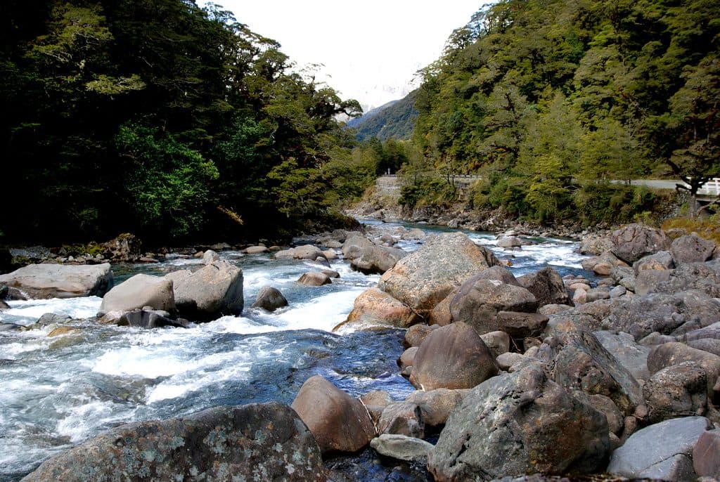 ChallengingHollyford Track56.3 km · 22 hr · 0.1 km awayA remote mountains-to-sea tramp from Lower Hollyford Road to Martins Bay.
 ModerateHidden Falls Track29 km · 5.5 hr · 0.1 km awayRainforest return walk to Hidden Falls and a riverside hut
 ModerateLake Alabaster Track12.1 km · 3.5 hr · 7.8 km awayA quiet forest traverse to Fiordland’s lakeside hut
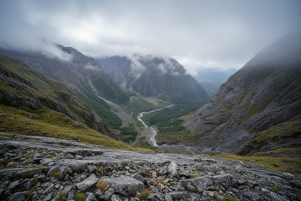 ChallengingGrave–Talbot Track7.2 km · 4 hr · 12.4 km awayA hard, rough out-and-back from Gulliver River Bridge to the Esperance River grasslands.ChallengingBarrier Knob from Gertrude Saddle Car Park11.3 km · 8 hr · 12.6 km awayA demanding alpine out-and-back from Gertrude Valley car park to 360° views on Barrier KnobChallengingGertrude Saddle Route11.3 km · 5 hr · 12.7 km awayDemanding alpine route to a high saddle above the Gertrude Valley
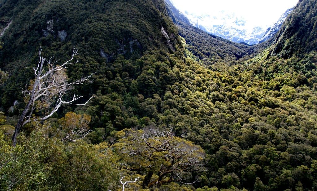 ChallengingLake Marian Track6.3 km · 3 hr · 12.9 km awayShort, rough climb to a mirror-still alpine lake in a hanging valley
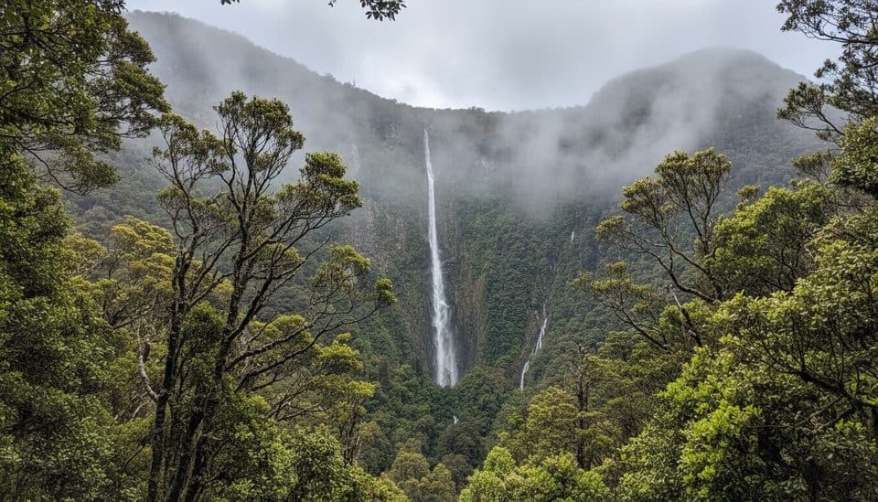 Sight · 0.7 km awayHumboldt FallsShort rainforest walk to a towering three-tiered 275 m waterfall
 Sight · 5.1 km awayConical HillShort, steep spur to sweeping alpine views over Lake Harris
 Sight · 5.2 km awayHarris Saddle ShelterHigh-alpine refuge and Conical Hill kickoff with Lake Harris views
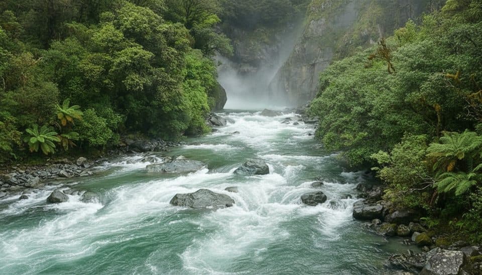 Sight · 7 km awayHidden FallsPowerful rainforest waterfall on a quiet Hollyford Track day walk
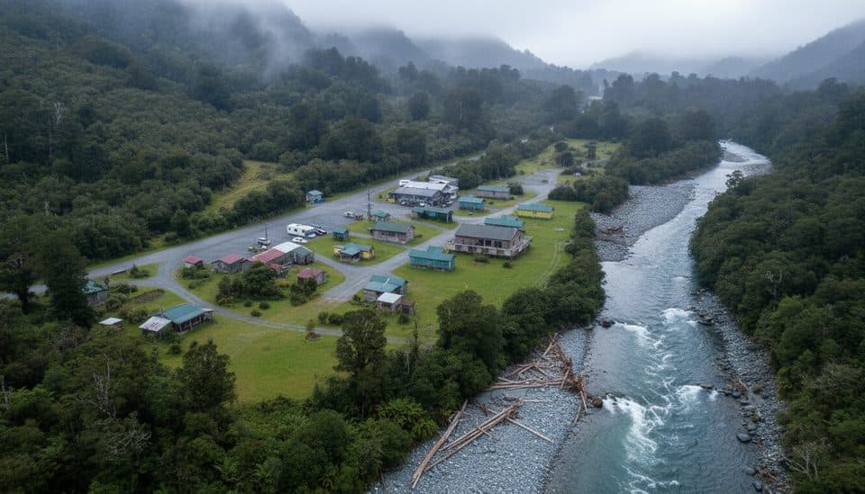 Campground · 7.5 km awayGunn’s CampHistoric Hollyford camp ruined by landslide, story still lingers
 Sight · 8.6 km awayLake MackenzieSub‑alpine jewel on the Routeburn with a hut and campsite
 Lodging · 9.1 km awayLake Mackenzie HutGreat Walk hut on a turquoise alpine lake with big-mountain views
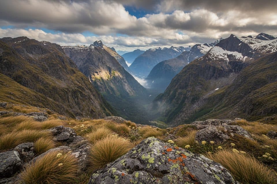 Sight · 10.4 km awayGertrude SaddleAlpine saddle with Milford Sound views via steep slabs and Black Lake
Parkwolf’s Fiordland ranking

The audio tour guide for the drive, plus offline maps, trails, and wildlife heatmaps for when the signal drops.


