Appalachian Trail: Beaver Brook to Mount Garfield in Franconia Notch State Park

Franconia Notch State Park, NH

Appalachian Trail: Beaver Brook to Mount Garfield

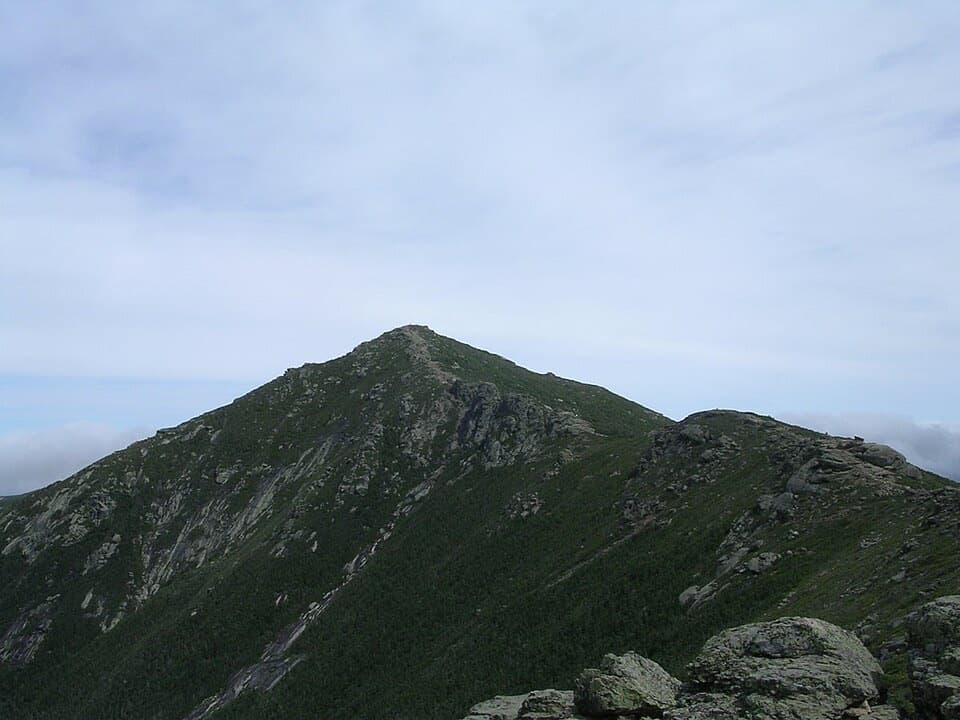
A rugged, exposed 23-mile Appalachian Trail traverse to Mount Garfield.

Photo: Wikimedia Commons
Length
23.1mi
Time
1day
Elev. change
3,517ft
Difficulty
Challenging
  • High point 5,052 ft
Parkwolf audio tour32 stories across Franconia Notch’s roads

Overview

About Appalachian Trail: Beaver Brook to Mount Garfield

Why go

  • A demanding multi-day traverse linking the Kinsman, Franconia and Garfield ridges.
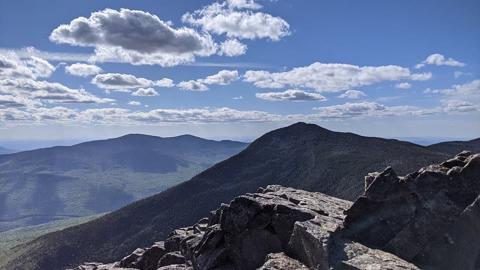
  • More than two miles of open alpine trail with broad White Mountains views.

Heads up

  • Steep, rough footing and exposed weather make this a serious backpacking trip.
  • The summit finish is 4.8 trail miles from the Garfield Trailhead; plan the extra exit.

Map & elevation

The route

Loading the Franconia Notch map
Full map
Elevation1,535–5,052 ft
TrailheadBeaver Brook Trailhead (Kinsman Notch)44.04039, -71.79289
Keep this map with you offline in the Parkwolf app

Plan your hike

Before you go

Parking

Start at Beaver Brook Trailhead in Kinsman Notch on NH 112; the Forest Service lists a fee site, vault toilets and no potable water. The AT line ends on Mount Garfield. To reach a car, the Garfield Trailhead on Gale River Loop Road is another 4.8 miles down Garfield Trail, so arrange a shuttle or include the descent separately.

Safety

This 23.1-mile point-to-point crosses steep, rocky ground and exposed alpine ridges where high winds, fog and snow are possible in any season. The summit endpoint is not a parking area; the Garfield Trailhead is another 4.8 miles down trail. Dog rules were not verified for every land manager along the route.

2 active Franconia Notch alerts

  • ClosureFlume Gorge Short Trail closed; seasonal closure Oct 26The Flume Gorge Short Trail/Rim Path is closed; before the seasonal closure, visitors must use the full 2-mile loop.Official details
  • ClosureCannon Mountain Aerial Tramway closed and retiredThe Cannon Mountain Aerial Tramway (Tram II) is closed and retired; do not plan on a tram ride.Official details
Franconia Notch alerts
A park ranger sits on a dash-mounted phone, talking, as Parkwolf’s Tour Guide plays “Army Cutworm Moths: A Grizzly Bear Buffet” on Grand Loop Road below Dunraven Pass in Yellowstone
Parkwolf Tour GuideThe highest, rockiest slopes around here are a summer buffet for grizzly bears.

Franconia Notch Tour Guide

Your drive to Appalachian Trail: Beaver Brook to Mount Garfield, narrated.

Parkwolf is a GPS audio tour guide for Franconia Notch State Park. As you drive, it chimes in with what’s ahead: hidden gems, upcoming stops, history, geology, and wildlife, right through your car’s speakers.

See the Franconia Notch audio tour
  • 32 audio storiesacross Franconia Notch’s roads, triggered by GPS as you drive
  • Wildlife heatmapsfor Black Bear, Moose, Wild Turkey, and 13 more
  • Works offlinemaps, 29 trails, 33 places, and audio download before you lose signal
  • CarPlay readysimple controls built for the drive
★★★★★
“Fantastic app with many points of information… It’s great to just turn on while you’re driving and it gives you an audio tour of the national Park. We love it!!!!”
JMJamesApp Store review
Download Parkwolf on the App StoreGet Parkwolf on Google Play

4.7 from 8,600+ ratings

Trail guide

Hiking Appalachian Trail: Beaver Brook to Mount Garfield

The routeThis is a 23.

This is a 23.1-mile, one-way Appalachian Trail traverse from Beaver Brook Trailhead in Kinsman Notch to the summit of Mount Garfield. It follows the Kinsman Ridge, Fishin’ Jimmy, Cascade Brook, Liberty Spring, Franconia Ridge and Garfield Ridge corridors. It crosses Franconia Notch State Park, beginning south of the Notch and finishing north of it. Choose it for a demanding, multi-day White Mountains traverse rather than a short summit outing.

Plan several daysThe White Mountains are steep and rocky enough that a sensible pace is about 5–8 miles a day,…

The White Mountains are steep and rocky enough that a sensible pace is about 5–8 miles a day, so plan roughly three to five days. Several climbs are strenuous, and a little over two miles of Franconia Ridge stay above treeline. Many shelters and campsites in the area charge fees; check current lodging, access and overnight rules before you set out.

Kinsman Ridge and the NotchFrom Beaver Brook Trailhead the route climbs Kinsman Ridge, passes the Gordon Pond Trail…

From Beaver Brook Trailhead the route climbs Kinsman Ridge, passes the Gordon Pond Trail junction, and continues over the Kinsmans toward Kinsman Pond. Fishin’ Jimmy drops steeply toward Lonesome Lake; expect rough, uneven footing. The route then follows Cascade Brook and crosses the notch highway corridor before climbing Liberty Spring toward the high ridge.

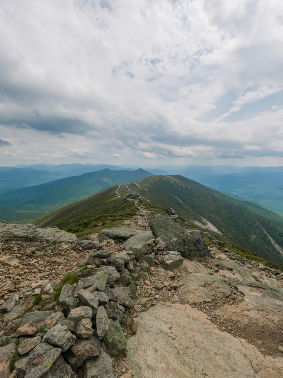
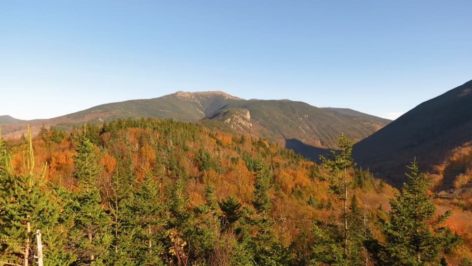
Franconia RidgeThe Appalachian Trail stays above treeline for just over two miles along Franconia Ridge.

The Appalachian Trail stays above treeline for just over two miles along Franconia Ridge. This is the trip’s signature stretch: open views across the White Mountains and fragile alpine habitat on exposed rock. High winds and fog are common on the exposed ridges, and snow can fall in any season, so treat a clear forecast as part of your route plan.

Garfield Ridge finishFrom Franconia Ridge the trail continues north on Garfield Ridge to Mount Garfield’s summit.

From Franconia Ridge the trail continues north on Garfield Ridge to Mount Garfield’s summit. That is the end of the 23.1-mile route, not a parking area. If you need to reach a car, the Forest Service’s Garfield Trailhead is another 4.8 miles down Garfield Trail; count that descent separately and arrange your pickup or shuttle.

Access and waterThe southern access is Beaver Brook Trailhead in Kinsman Notch on NH 112.

The southern access is Beaver Brook Trailhead in Kinsman Notch on NH 112. It has vault toilets but no potable water, and it is a fee site. This corridor crosses several land-management areas, and one dog rule for the full route could not be confirmed; check the relevant rules before bringing a pet.

Wildlife

Wildlife in Franconia Notch

All Franconia Notch wildlife maps

Sighting maps show where each species has been reported across Franconia Notch. Wildlife moves, so no sighting is guaranteed.

Keep exploring

Near Appalachian Trail: Beaver Brook to Mount Garfield

See it all on the map

Trails that start nearby

Places near the trailhead

Parkwolf’s Franconia Notch ranking

Top-rated trails in Franconia Notch

All 29 trails
  1. 1Franconia Ridge Trail LoopChallenging · 8.1 mi
  2. 2Flume Gorge TrailModerate · 2 mi
  3. 3Artists Bluff and Bald Mountain LoopModerate · 1.3 mi
  4. 4Lonesome Lake TrailModerate · 3 mi
  5. 5Basin Cascade TrailModerate · 2 mi
  6. 6Mount Pemigewasset TrailModerate · 3.3 mi

Take Parkwolf to Franconia Notch.

The audio tour guide for the drive, plus offline maps, trails, and wildlife heatmaps for when the signal drops.

4.7 from 8,600+ ratings

Download Parkwolf on the App StoreGet Parkwolf on Google Play