Parking
The trail starts at roadside parking on the left as you head north on Route 3, just south of Indian Head Resort. The lot size, fee and ownership are not clearly documented; the Flume parking area serves a different Mount Pemigewasset route.

Franconia Notch State Park, NH
A rocky climb to open summit ledges with broad views.
Overview
Map & elevation
Plan your hike

The highest, rockiest slopes around here are a summer buffet for grizzly bears.
Franconia Notch Tour Guide
Parkwolf is a GPS audio tour guide for Franconia Notch State Park. As you drive, it chimes in with what’s ahead: hidden gems, upcoming stops, history, geology, and wildlife, right through your car’s speakers.
See the Franconia Notch audio tourRecorded for this area
The Trees That Grow Sideways“On a hike toward treeline, watch for spruce and fir that spread sideways in a low, tangled thicket. This stunted forest is called krummholz, meaning crooked wood.”
Plays on the road 0.3 mi from the trailhead in the Parkwolf Franconia Notch Tour Guide.
More stories near here in the app
“Fantastic app with many points of information… It’s great to just turn on while you’re driving and it gives you an audio tour of the national Park. We love it!!!!”


Trail guide
Indian Head Trail is a 3.8-mile out-and-back from Route 3 to the open ledges at Mount Pemigewasset's summit, then back the same way. Published round-trip totals vary from about 3.2 to 3.8 miles; the upper figure fits the Route 3 route reports and is the safer plan. Allow about three hours for roughly 1,450 feet of climbing. The first quarter-mile follows an old logging road through the woods; after that, the route heads north and climbs more steeply beneath the cliffs.
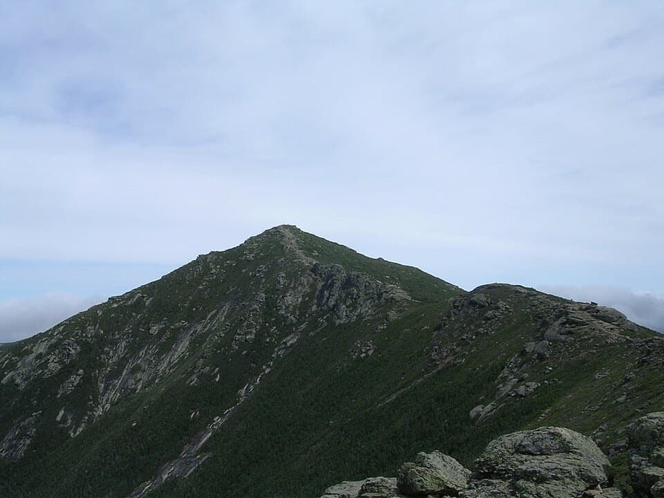
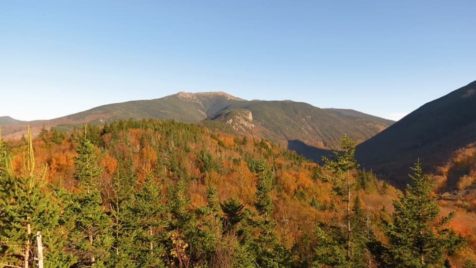
The roughest, rockiest footing is near the top. Summit ledges open to a long view south over Route 3, Franconia Notch and the Pemigewasset River valley. To the east, Loon Mountain, Scar Ridge and Mount Osceola show through the trees. Keep some granite in the foreground for a photo; it gives the view its sense of height. The ledges are exposed, so watch your footing on top and take care on the rocky descent.
Use the roadside trailhead lot on the left as you head north on Route 3, just south of Indian Head Resort. Its size, fee and ownership aren't clearly documented. This is the Indian Head approach, not the separate Mount Pemigewasset Trail that starts by the Flume parking area. Dogs aren't allowed on this route: pets are limited to designated dog walks near the Tramway and Flume lots.
Wildlife
 66 sightingsBlack BearMost seen around 7 PMSighting map
 38 sightingsMooseMost seen around 6 AMSighting map
 19 sightingsWild TurkeyMost seen around 6 AMSighting map
 19 sightingsGreat Blue HeronMost seen around 5 PMSighting map
 13 sightingsTurkey VultureMost seen around noonSighting map
 23 sightingsRavenMost seen around 11 AMSighting map
Sighting maps show where each species has been reported across Franconia Notch. Wildlife moves, so no sighting is guaranteed.
Keep exploring
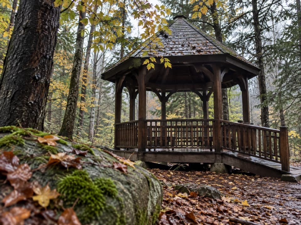 EasyRoaring River Memorial Nature Trail0.3 mi · 30 min · 1 mi awayA short woodland loop with a 1988 memorial gazebo.
 ModerateMount Pemigewasset Trail3.3 mi · 2.8 hr · 1.1 mi awayA steady forest climb to an open granite summit above the Notch.
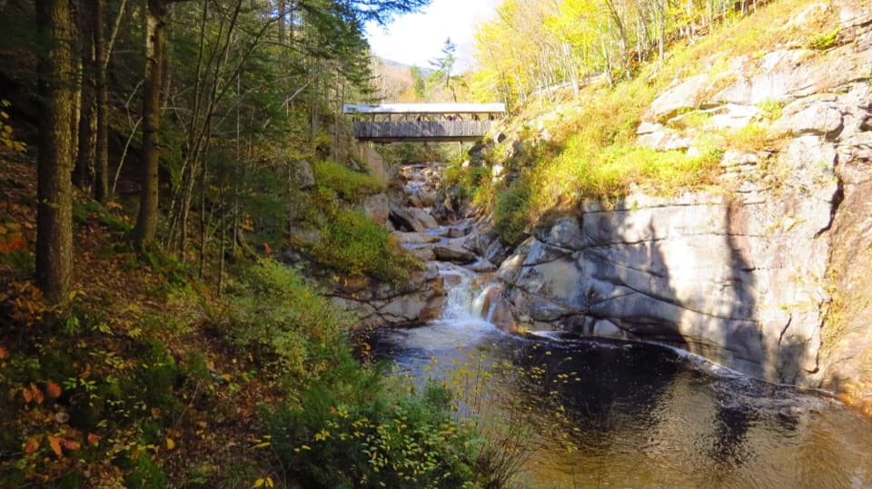 ModerateFlume Gorge Trail2 mi · 1.8 hr · 1.1 mi awayA two-mile loop through a granite gorge, waterfalls, and a glacial pool.
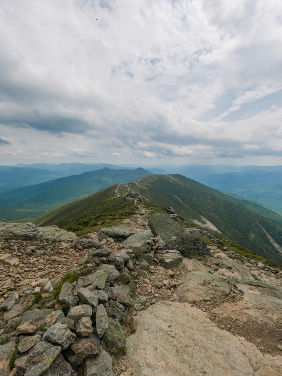 ChallengingFranconia Ridge Traverse16.7 mi · 12 hr · 1.2 mi awayFour 4,000-footers, a long day, and miles of exposed ridge.
 ChallengingMount Liberty via Liberty Spring Trail7.5 mi · 6.5 hr · 1.3 mi awaySteep climb, big summit views, and Mount Flume’s slides.
 ModerateCascade Brook Trail6.7 mi · 4.5 hr · 1.4 mi awayA brookside climb ends at Lonesome Lake beside an AMC hut.
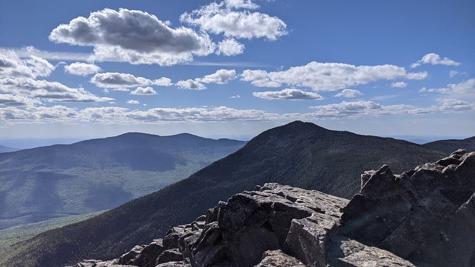 ChallengingMount Liberty and Mount Flume via Liberty Spring Trail10.2 mi · 8 hr · 1.4 mi awayTwo rugged summits, a rocky ridge traverse, and broad mountain views.
 ModerateBasin Cascade Trail2 mi · 2 hr · 2.7 mi awayCascade Brook's granite ledges and small falls earn the extra walk.
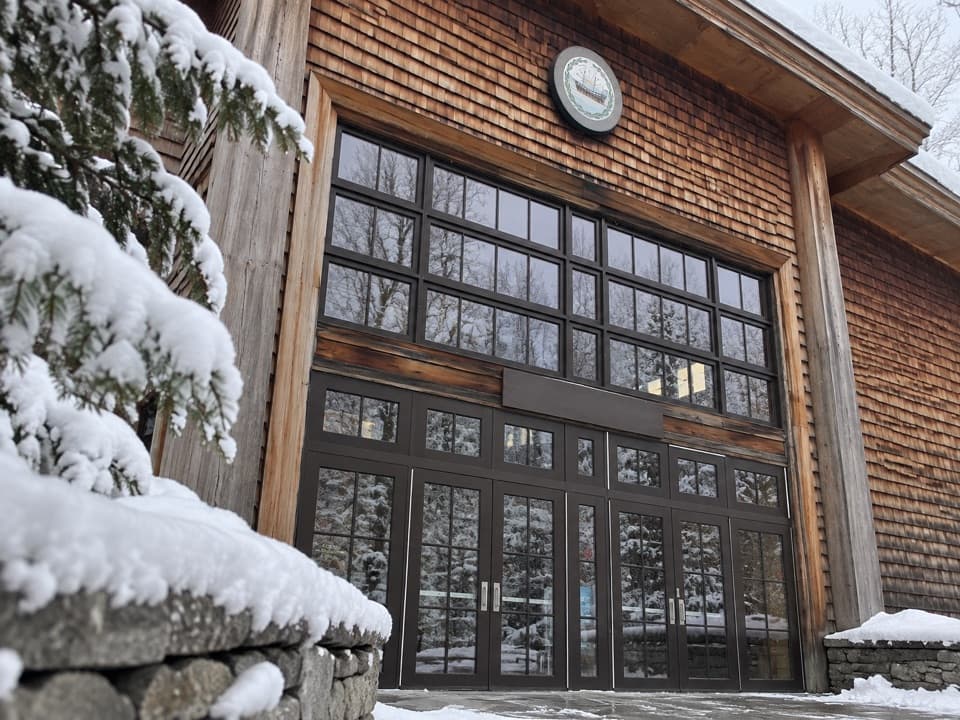 Visitor center · 1.1 mi awayGilman Visitor CenterTickets, park info, food and exhibits at the Flume entrance.
 Sight · 1.3 mi awayMount PemigewassetBroad ledges turn a steady climb into a Franconia Notch view.
 Sight · 1.5 mi awayFlume GorgeFollow a brook through an 800-foot granite gorge and two bridges.
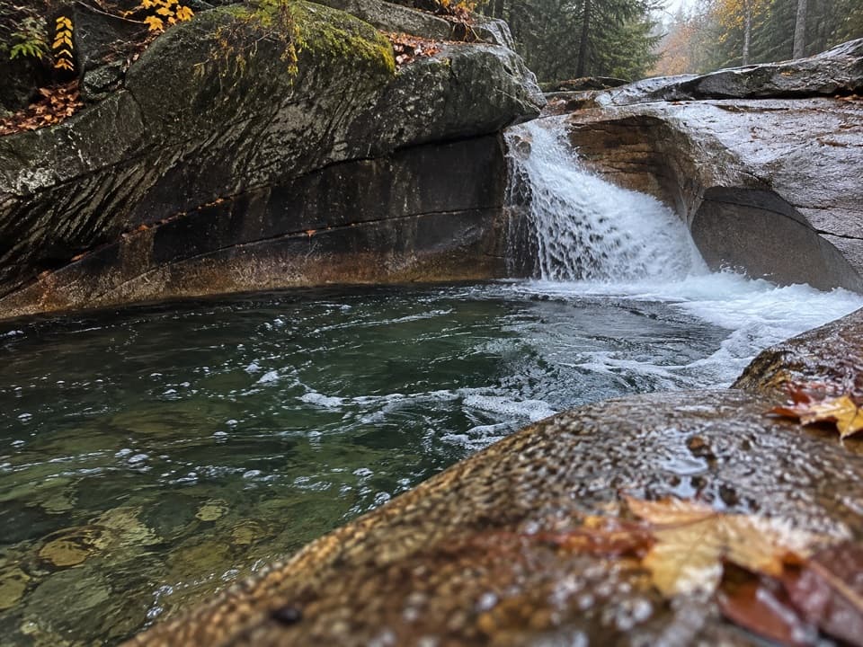 Sight · 2.7 mi awayThe BasinA river-carved granite bowl and waterfall, reached by a short paved walk.
 Sight · 2.8 mi awayKinsman FallsA narrow cleft sends Cascade Brook into a dark plunge pool.
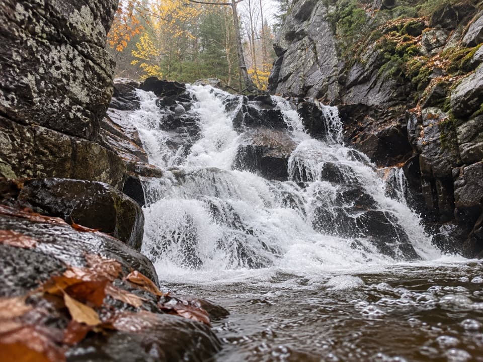 Sight · 3.1 mi awayRocky Glen FallsA stepped gorge waterfall worth the uphill finish.
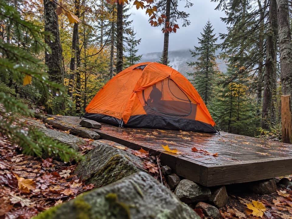 Campground · 3.2 mi awayLiberty Springs TentsiteA useful backpacking stop just below the Franconia Ridge junction.Sight · 3.2 mi awayMount LibertyA long climb earns a rocky summit and wide Franconia Ridge views.
Parkwolf’s Franconia Notch ranking

The audio tour guide for the drive, plus offline maps, trails, and wildlife heatmaps for when the signal drops.