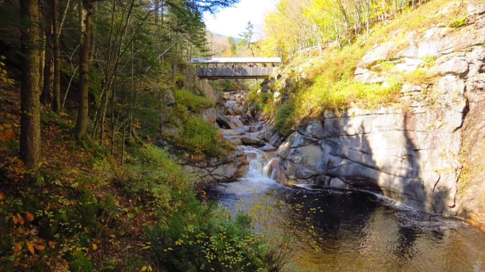
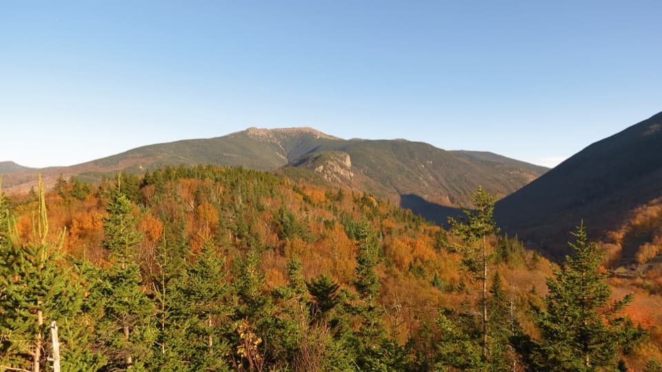
Old Bridle Path to Greenleaf Hut in Franconia Notch State Park

Franconia Notch State Park, NH

Old Bridle Path to Greenleaf Hut

A steep hut climb with two open ledges and Franconia Notch views.

Length
5.8mi
Time
6hr
Elev. change
2,408ft
Difficulty
Challenging
  • Dogs allowed
  • High point 4,190 ft
  • #12 of 29 in Franconia Notch

Hear the audio tour

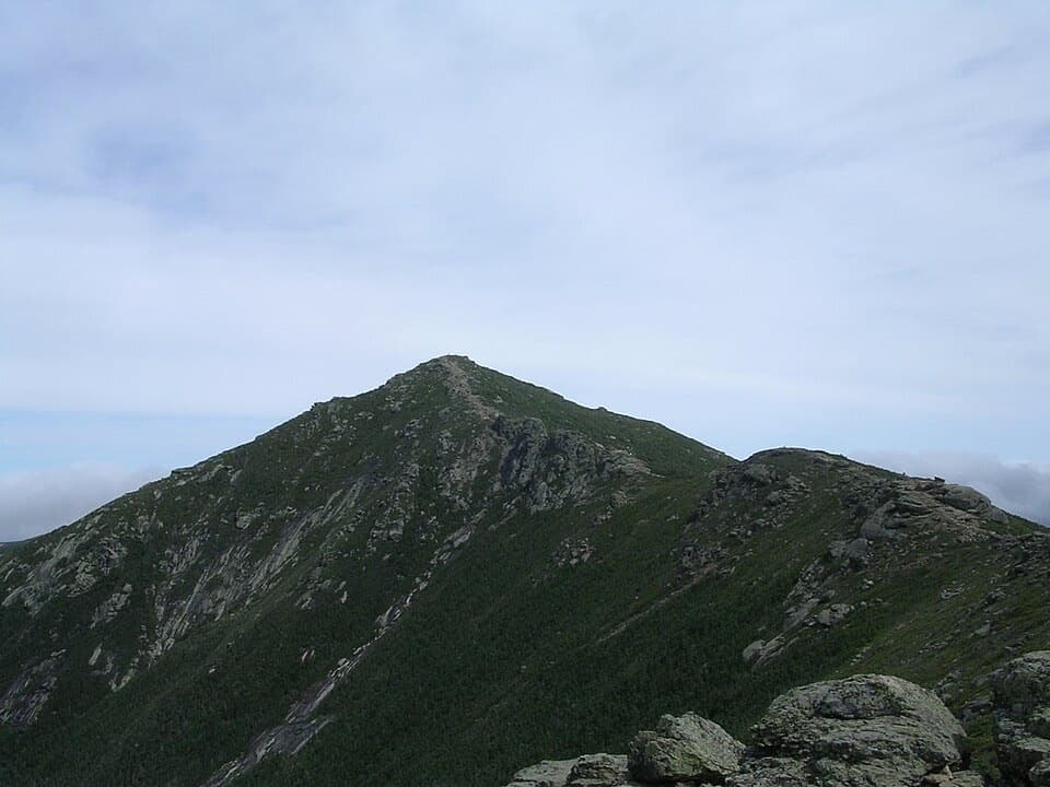
Mount Lafayette and Franconia Ridge

Overview

About Old Bridle Path to Greenleaf Hut

Why go

  • Two open ledges give a Franconia Notch view before the upper climb.
  • Greenleaf Hut makes a clear destination and turnaround.

Heads up

  • A strenuous, rocky climb gains about 2,500 feet over the full one-way ascent.

Map & elevation

The route

Loading the Franconia Notch map
Full map
Elevation1,781–4,190 ft
TrailheadOld Bridle Path Trailhead44.14183, -71.68097
Keep this map with you offline in the Parkwolf app

Plan your hike

Before you go

Parking

Use the Old Bridle Path Trailhead parking area on the northbound side of I-93. If it fills, use the Lafayette State Park lot on the southbound side and reach the trail through the pedestrian tunnel. Peak-season overflow near Exit 34C uses a Forest Service shuttle. Check current parking arrangements; parking along I-93 is illegal.

Safety

A steep, rocky route gains about 2,500 feet; the two open ledges require careful footing. Greenleaf Hut is seasonal and is not a winter emergency shelter.

2 active Franconia Notch alerts

  • ClosureFlume Gorge Short Trail closed; seasonal closure Oct 26The Flume Gorge Short Trail/Rim Path is closed; before the seasonal closure, visitors must use the full 2-mile loop.Official details
  • ClosureCannon Mountain Aerial Tramway closed and retiredThe Cannon Mountain Aerial Tramway (Tram II) is closed and retired; do not plan on a tram ride.Official details
Franconia Notch alerts
A park ranger sits on a dash-mounted phone, talking, as Parkwolf’s Tour Guide plays “Army Cutworm Moths: A Grizzly Bear Buffet” on Grand Loop Road below Dunraven Pass in Yellowstone
Parkwolf Tour GuideThe highest, rockiest slopes around here are a summer buffet for grizzly bears.

Franconia Notch Tour Guide

Your drive to Old Bridle Path to Greenleaf Hut, narrated.

Parkwolf is a GPS audio tour guide for Franconia Notch State Park. As you drive, it chimes in with what’s ahead: hidden gems, upcoming stops, history, geology, and wildlife, right through your car’s speakers.

See the Franconia Notch audio tour

Recorded for this trailhead

Mount Lafayette and Franconia Ridge
0:00 / 0:28
“Up ahead is the trailhead for Mount Lafayette and Franconia Ridge, a demanding hike with long, open views across the White Mountains.”

Plays as you drive up to this trailhead in the Parkwolf Franconia Notch Tour Guide.

More stories near here in the app

  • Lonesome Lake and Its Shoreline Loop
  • An Old Plant in a Small Cushion
  • A Chickadee’s Hidden Food
  • Boise Rock and Its Winter Legend
  • 32 audio storiesacross Franconia Notch’s roads, triggered by GPS as you drive
  • Wildlife heatmapsfor Black Bear, Moose, Wild Turkey, and 13 more
  • Works offlinemaps, 29 trails, 33 places, and audio download before you lose signal
  • CarPlay readysimple controls built for the drive
★★★★★
“Fantastic app with many points of information… It’s great to just turn on while you’re driving and it gives you an audio tour of the national Park. We love it!!!!”
JMJamesApp Store review
Download Parkwolf on the App StoreGet Parkwolf on Google Play

4.7 from 8,600+ ratings

Trail guide

Hiking Old Bridle Path to Greenleaf Hut

The hut hikeOld Bridle Path is a steep 5.

Old Bridle Path is a steep 5.8-mile out-and-back from the Lafayette Place trailhead to Greenleaf Hut below Mount Lafayette. It climbs from forest to open ledges and ends at the hut. Allow about six hours for the return. It is a good choice if you want a hard climb with a clear destination; the hut is the turnaround here. Going on toward Lafayette and the Franconia Ridge makes a different, much longer hike.

The route and its first payoffThe trail starts east of I-93. At about 0.

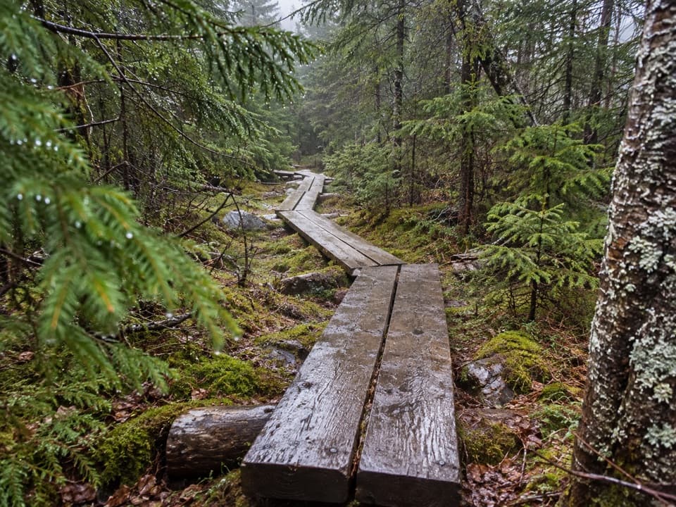
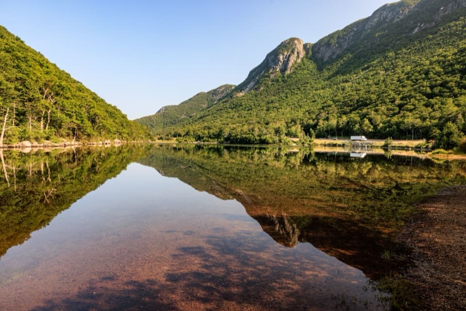
The trail starts east of I-93. At about 0.2 mile, Falling Waters Trail branches right; stay straight on Old Bridle Path. The lower climb is wooded. Around 1.9 miles in, you reach two open ledges about 100 feet apart, with views across Franconia Notch. They make a worthwhile shorter turnaround at about 3.8 miles round trip, before the steep upper climb.

Greenleaf HutPast the ledges, the path stays steep and rocky to Greenleaf Hut at 4,220 feet, below Mount…

Past the ledges, the path stays steep and rocky to Greenleaf Hut at 4,220 feet, below Mount Lafayette. The hut gives you a natural place to stop before retracing the trail, and it connects to longer ridge hikes; don't continue onto those if the hut is your destination. Day visitors can refill water and buy hot drinks, snacks and limited gear when hut services are operating. Those services are seasonal, and the hut is closed for much of fall, winter and spring. It is not an emergency shelter in winter.

Parking and accessUse the Old Bridle Path Trailhead parking area on the northbound side of I-93.

Use the Old Bridle Path Trailhead parking area on the northbound side of I-93. If it fills, the Lafayette State Park lot on the southbound side connects by pedestrian tunnel. Peak-season overflow near Exit 34C uses a Forest Service shuttle, so check the current parking arrangement before setting out. Parking along I-93 is illegal.

Effort and dogsExpect a strenuous climb with about 2,500 feet of gain, steep rocky footing and exposed rock at…

Expect a strenuous climb with about 2,500 feet of gain, steep rocky footing and exposed rock at the ledges. Dogs are allowed on the forest trail. Keep them leashed at the developed trailhead and other developed areas; away from developed areas, they may be off leash only under strict voice control.

Wildlife

Wildlife in Franconia Notch

All Franconia Notch wildlife maps

Sighting maps show where each species has been reported across Franconia Notch. Wildlife moves, so no sighting is guaranteed.

Keep exploring

Near Old Bridle Path to Greenleaf Hut

See it all on the map

Trails that start nearby

Places near the trailhead

Parkwolf’s Franconia Notch ranking

Top-rated trails in Franconia Notch

All 29 trails
  1. 1Franconia Ridge Trail LoopChallenging · 8.1 mi
  2. 2Flume Gorge TrailModerate · 2 mi
  3. 3Artists Bluff and Bald Mountain LoopModerate · 1.3 mi
  4. 4Lonesome Lake TrailModerate · 3 mi
  5. 5Basin Cascade TrailModerate · 2 mi
  6. 6Mount Pemigewasset TrailModerate · 3.3 mi

Take Parkwolf to Franconia Notch.

The audio tour guide for the drive, plus offline maps, trails, and wildlife heatmaps for when the signal drops.

4.7 from 8,600+ ratings

Download Parkwolf on the App StoreGet Parkwolf on Google Play