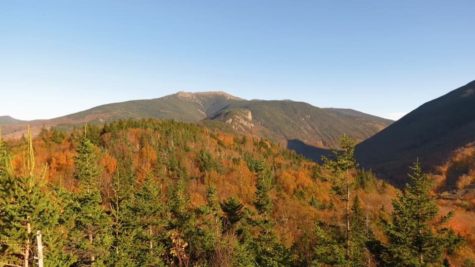
Garfield Ridge Trail in Franconia Notch State Park

Franconia Notch State Park, NH

Garfield Ridge Trail

A 5.6-mile traverse over Garfield Ridge toward Mount Lafayette.

Length
5.6mi
Time
5.5hr
Elev. change
1,775ft
Difficulty
Challenging
  • Dogs allowed
  • High point 5,164 ft
Parkwolf audio tour32 stories across Franconia Notch’s roads

Overview

About Garfield Ridge Trail

Why go

  • Continuous high ridge with open views near Garfield and Lafayette.
  • A shelter and tent platforms offer an overnight option on the route.

Heads up

  • No road access at either end; approaches and a shuttle add substantial mileage.
  • Steep, rough sections and exposed alpine walking make conditions consequential.

Map & elevation

The route

Loading the Franconia Notch map
Full map
Elevation3,389–5,164 ft
TrailheadGalehead Hut (Frost Trail/Twinway junction)44.18825, -71.56857
Keep this map with you offline in the Parkwolf app

Plan your hike

Before you go

Parking

For the Galehead end, use Gale River Trailhead on Gale River Road; reach Garfield Ridge by about four miles on Gale River Trail, then continue roughly half a mile to the Galehead junction. The Lafayette end meets the Franconia Ridge route high above the road, so plan a pickup or an extended return. Garfield Trailhead is for the separate Mount Garfield Trail approach, not this through-route.

Safety

Steep, rough mountain tread and exposed terrain near Lafayette; about a mile is above treeline, where severe weather can make travel dangerous.

2 active Franconia Notch alerts

  • ClosureFlume Gorge Short Trail closed; seasonal closure Oct 26The Flume Gorge Short Trail/Rim Path is closed; before the seasonal closure, visitors must use the full 2-mile loop.Official details
  • ClosureCannon Mountain Aerial Tramway closed and retiredThe Cannon Mountain Aerial Tramway (Tram II) is closed and retired; do not plan on a tram ride.Official details
Franconia Notch alerts
A park ranger sits on a dash-mounted phone, talking, as Parkwolf’s Tour Guide plays “Army Cutworm Moths: A Grizzly Bear Buffet” on Grand Loop Road below Dunraven Pass in Yellowstone
Parkwolf Tour GuideThe highest, rockiest slopes around here are a summer buffet for grizzly bears.

Franconia Notch Tour Guide

Your drive to Garfield Ridge Trail, narrated.

Parkwolf is a GPS audio tour guide for Franconia Notch State Park. As you drive, it chimes in with what’s ahead: hidden gems, upcoming stops, history, geology, and wildlife, right through your car’s speakers.

See the Franconia Notch audio tour

More stories near here in the app

  • A Parkway by Compromise
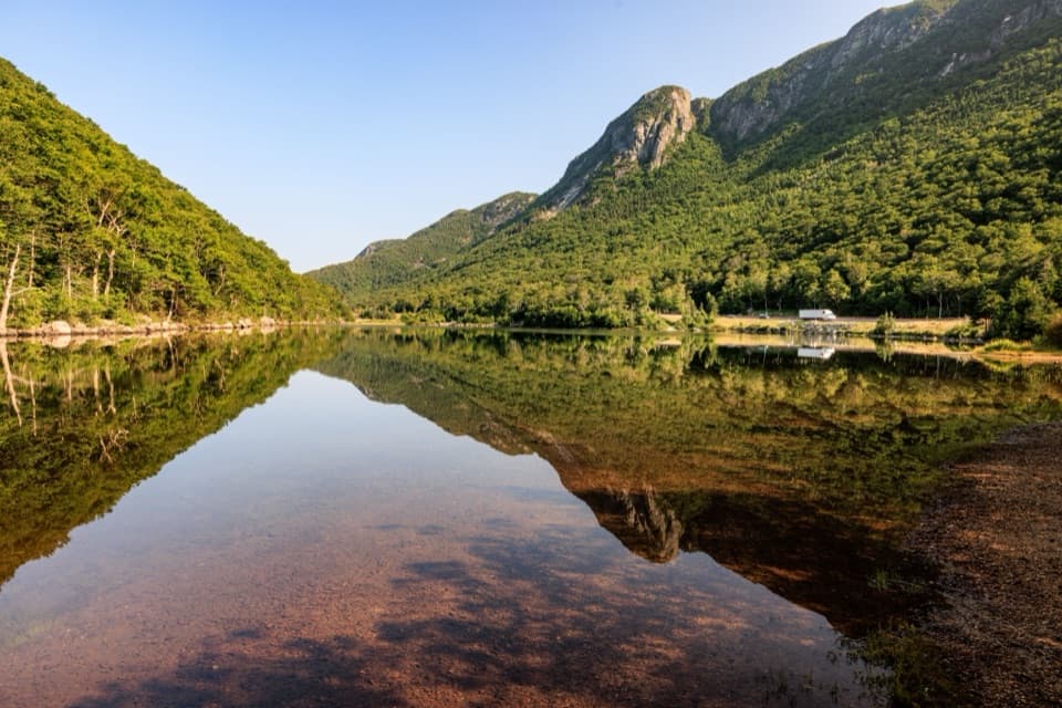
  • Profile Lake and the Eagle Cliff View
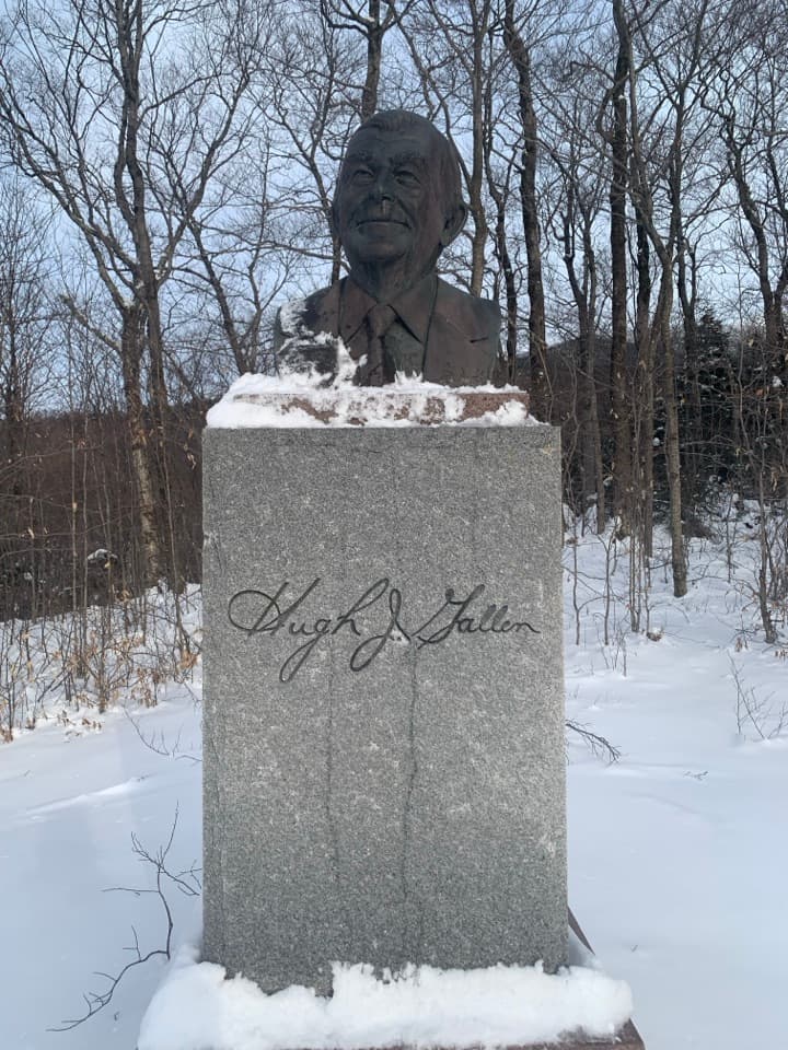
  • Governor Gallen Memorial and Sunset Bridge
  • Old Man of the Mountain Profile Plaza
  • 32 audio storiesacross Franconia Notch’s roads, triggered by GPS as you drive
  • Wildlife heatmapsfor Black Bear, Moose, Wild Turkey, and 13 more
  • Works offlinemaps, 29 trails, 33 places, and audio download before you lose signal
  • CarPlay readysimple controls built for the drive
★★★★★
“Fantastic app with many points of information… It’s great to just turn on while you’re driving and it gives you an audio tour of the national Park. We love it!!!!”
JMJamesApp Store review
Download Parkwolf on the App StoreGet Parkwolf on Google Play

4.7 from 8,600+ ratings

Trail guide

Hiking Garfield Ridge Trail

A high-country traverseGarfield Ridge Trail is a 5.

Garfield Ridge Trail is a 5.6-mile, one-way route from the Galehead Hut junction with Frost Trail and Twinway to the ridge junction just below Mount Lafayette. It follows the Appalachian Trail over the Garfield Ridge peaks, then climbs toward Lafayette. The rough ridge section typically takes about five to six hours, before adding the approach and exit hikes. This is a through-route in a connected mountain trail network, not a road-to-road walk.

Climbing toward GarfieldFrom Galehead, the trail first drops to the Gale River Trail junction, then rolls over several…

From Galehead, the trail first drops to the Gale River Trail junction, then rolls over several high points before a steep climb near Mount Garfield. A short side path reaches Garfield’s broad summit; the mapped through-route stays on the ridge path. After the summit area, the trail descends below tree cover and continues over rough, uneven ground.

A remote overnight optionGarfield Ridge Shelter and nearby tent platforms sit along this backcountry stretch.

Garfield Ridge Shelter and nearby tent platforms sit along this backcountry stretch. They can break up a longer traverse, but check current Forest Service rules and availability before building an overnight plan around them.

The Lafayette approachThe trail climbs and descends repeatedly across the ridge, then opens above treeline again near…

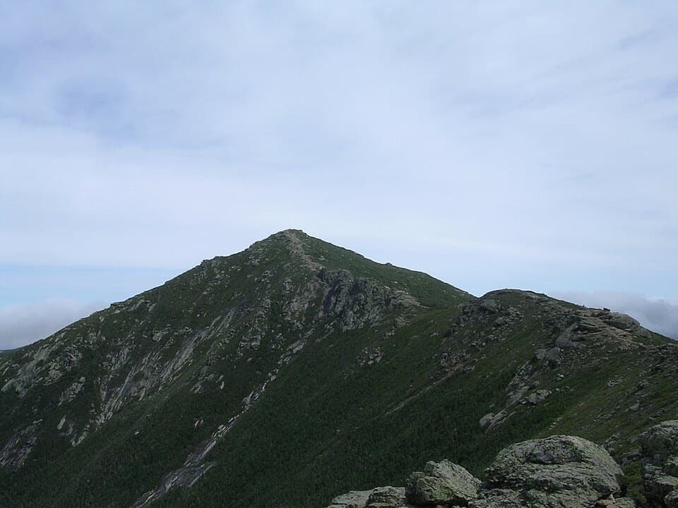
The trail climbs and descends repeatedly across the ridge, then opens above treeline again near North Lafayette. The final approach follows exposed, rocky ground toward the Lafayette summit area, with broad views in clear conditions. About a mile of the route is above treeline; the stored line stops just short of the summit itself.

Plan access and weatherThe east end is reached from Gale River Trailhead by about four miles on Gale River Trail and…

The east end is reached from Gale River Trailhead by about four miles on Gale River Trail and roughly another half mile to Galehead. The west end meets the Franconia Ridge route near Lafayette, well above any road. Arrange a pickup or plan a much longer return over connecting trails. Dogs are allowed in the White Mountain National Forest; leash them in developed recreation areas and keep them under strict voice command elsewhere. The exposed upper ridge can become dangerous in severe weather.

Wildlife

Wildlife in Franconia Notch

All Franconia Notch wildlife maps

Sighting maps show where each species has been reported across Franconia Notch. Wildlife moves, so no sighting is guaranteed.

Keep exploring

Near Garfield Ridge Trail

See it all on the map

Trails that start nearby

Places near the trailhead

Parkwolf’s Franconia Notch ranking

Top-rated trails in Franconia Notch

All 29 trails
  1. 1Franconia Ridge Trail LoopChallenging · 8.1 mi
  2. 2Flume Gorge TrailModerate · 2 mi
  3. 3Artists Bluff and Bald Mountain LoopModerate · 1.3 mi
  4. 4Lonesome Lake TrailModerate · 3 mi
  5. 5Basin Cascade TrailModerate · 2 mi
  6. 6Mount Pemigewasset TrailModerate · 3.3 mi

Take Parkwolf to Franconia Notch.

The audio tour guide for the drive, plus offline maps, trails, and wildlife heatmaps for when the signal drops.

4.7 from 8,600+ ratings

Download Parkwolf on the App StoreGet Parkwolf on Google Play