Parking
Start at Jackson Glacier Overlook parking on Going-to-the-Sun Road; a shuttle stop is also at the overlook. The one-way route finishes at the Lake McDonald Lodge trailhead, so arrange transportation between the ends before setting out.

Glacier National Park, MT
A demanding east-to-west traverse over two high alpine passes.
Overview
Map & elevation
Plan your hike

The highest, rockiest slopes around here are a summer buffet for grizzly bears.
Glacier Tour Guide
Parkwolf is a GPS audio tour guide for Glacier National Park. As you drive, it chimes in with what’s ahead: hidden gems, upcoming stops, history, geology, and wildlife, right through your car’s speakers.
See the Glacier audio tourRecorded for this trailhead
Jackson Glacier Overlook“Jackson Glacier Overlook is coming up, with a view of glacier ice without a hike.”
Plays as you drive up to this trailhead in the Parkwolf Glacier Tour Guide.
More stories near here in the app
“Our first time to glacier and we used the audio portion for Going to the Sun Road. Wonderful information with perfect advice of what to see and do along the road.”


Trail guide
Gunsight Pass Trail to Lake McDonald Lodge is a roughly 19.5-mile, one-way backcountry traverse from Jackson Glacier Overlook on the east side to the lodge trailhead on the west. It crosses Gunsight Pass and Lincoln Pass, reaches Gunsight Lake and Lake Ellen Wilson, then descends through Sperry. This is not a summit climb. The shorter 13.5-mile version stops at Sperry Chalet; this route includes the remaining descent to the Lodge.
Treat this as a major backcountry commitment. The route climbs in several sections: the approach to Sperry Chalet is 13.5 miles with about 3,300 feet of climbing, and the Sperry Trail descent adds roughly 6.5 miles and 3,400 feet down. A strong, experienced hiker may finish in one very long day; allow about 14 hours on foot. Most parties will prefer to split the route across two or three days. Arrange transport between the endpoints before starting: this is a one-way hike, not a loop, and the overlook and Lodge are far apart by road.
From the overlook, the path drops roughly 650 feet into the Reynolds Creek valley and crosses several footbridges, then climbs through meadows and marsh with views toward Mount Jackson and the Jackson-Blackfoot Glacier complex. A short side trail leads to Florence Falls; that detour is not included in the mapped distance. Gunsight Lake arrives at about mile 6.2, turquoise from fine glacial rock flour and tucked below Mount Jackson. Rest here before the sustained climb toward the pass.
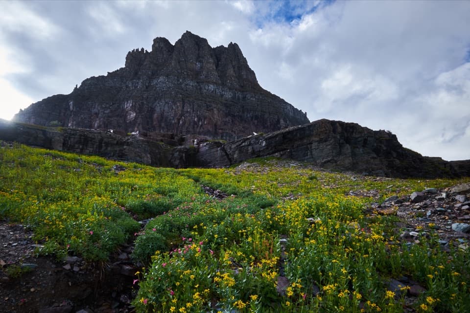
The trail climbs along Mount Jackson’s west slope, with Gunsight Lake dropping below as the pass comes into view. At 6,946 feet, Gunsight Pass has a small stone warming hut and views back toward the lake and south toward Lake Ellen Wilson. The descent to Ellen Wilson is steep and loses about 1,000 feet; a waterfall crossing near the lake’s head can leave your feet wet. Then comes an abrupt climb of more than 1,000 feet in a little over a mile to Lincoln Pass, the route’s high point at 7,050 feet. From the pass area, a side path toward Lincoln Peak opens views of Beaver Chief Falls between Lake Ellen Wilson and Lincoln Lake. At Gunsight Pass, including the stone hut with a lake basin below gives a sense of how high the crossing sits.
After Lincoln Pass, the route reaches Sperry Backcountry Campground and Sperry Chalet, perched on an alpine ledge above Lake McDonald and the Whitefish Range. The chalet is the end of the shorter Gunsight Pass outing; continue on the Sperry Trail for the full traverse. That final stretch drops about 3,400 feet over roughly 6.5 miles to the Lake McDonald Lodge trailhead.
Wildlife
 404 sightingsGrizzly BearMost seen around 6 AMSighting map
 11 sightingsWolverineMost seen around 8 PMSighting map
 1,173 sightingsMountain GoatMost seen around 6 AMSighting map
 1,000 sightingsBighorn SheepMost seen around 6 AMSighting map
 395 sightingsMooseMost seen around 6 AMSighting map
 506 sightingsBlack BearMost seen around 8 PMSighting map
Sighting maps show where each species has been reported across Glacier. Wildlife moves, so no sighting is guaranteed.
Keep exploring
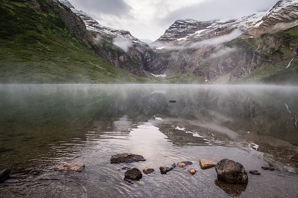 ChallengingGunsight Lake Trail12.9 mi · 8.5 hr · At the trailheadA long valley walk to Gunsight Lake’s rocky shore
 ChallengingFlorence Falls Trail9.8 mi · 4.5 hr · At the trailheadA long out-and-back to Florence Falls through creek and pond country
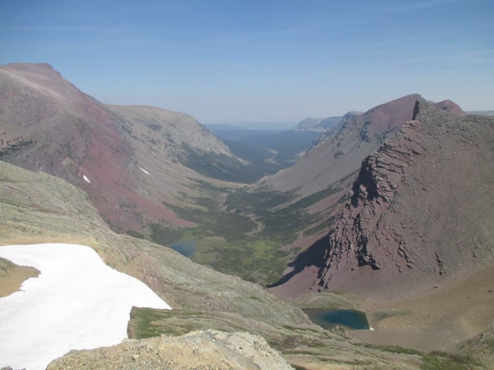 ChallengingSiyeh Pass Trail10 mi · 7 hr · 1.8 mi awayA steep pass crossing rewarded with Sexton Glacier and Baring Creek.
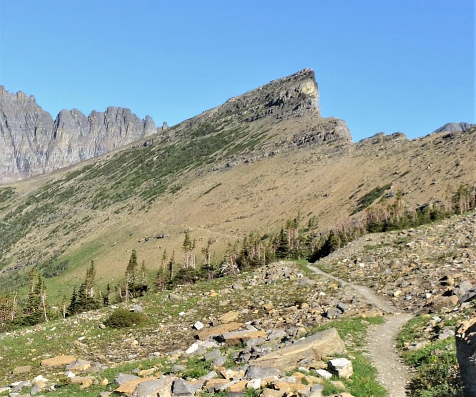 ChallengingPiegan Pass Trail9 mi · 6 hr · 1.8 mi awayA high saddle, glacier views, and a vanished railway bell.
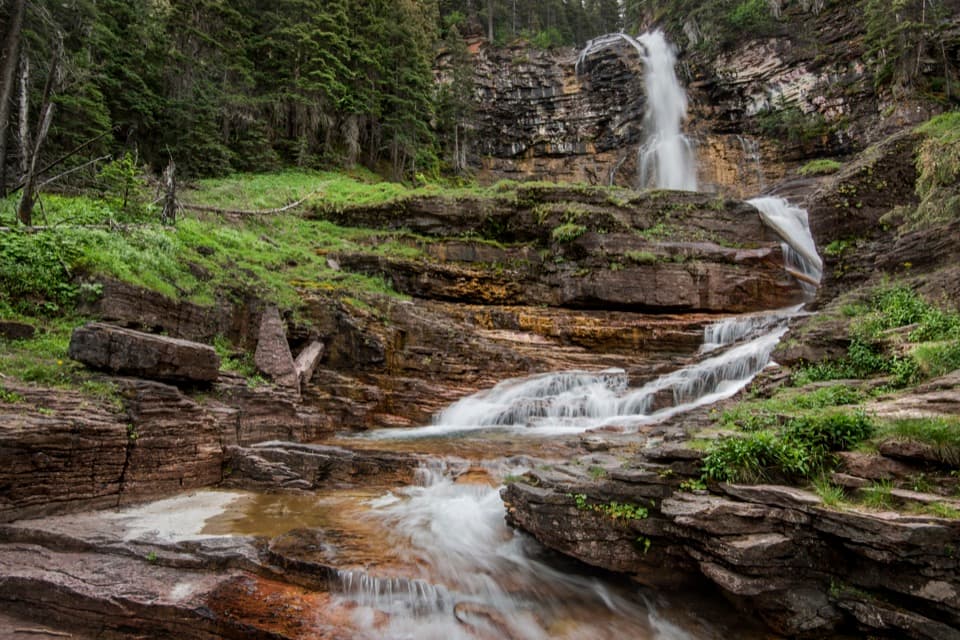 ModerateVirginia Falls Trail3.2 mi · 2 hr · 2 mi awayTwo falls, views through the burn, and a harder climb back.
 ModerateSt. Mary Falls Trail1.6 mi · 1.3 hr · 2 mi awayA short descent to a bridge beneath a three-tier waterfall
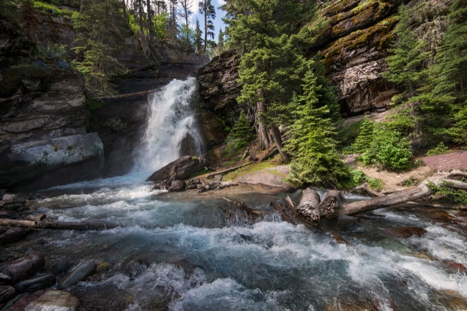 EasyBaring Falls Trail0.7 mi · 36 min · 2.6 mi awayA short creekside walk to a 25-foot waterfall.
 EasySunrift Gorge Trail0.1 mi · 9 min · 2.6 mi awayA quick walk to Baring Creek’s narrow, sudden gorge.
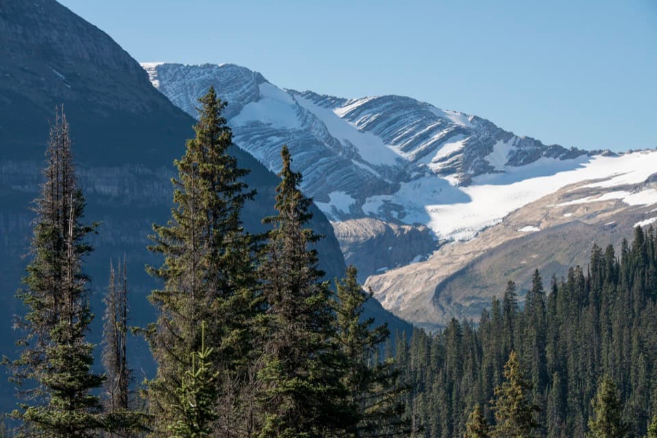 Sight · 0.1 mi awayJackson Glacier OverlookA glacier view worth the quick stop on Going-to-the-Sun Road.
 Sight · 1.8 mi awaySt. Mary FallsTwo foaming drops and blue-green pools reward this short hike.Sight · 2.1 mi awayVirginia FallsKeep going past St. Mary Falls for the bigger cascade.
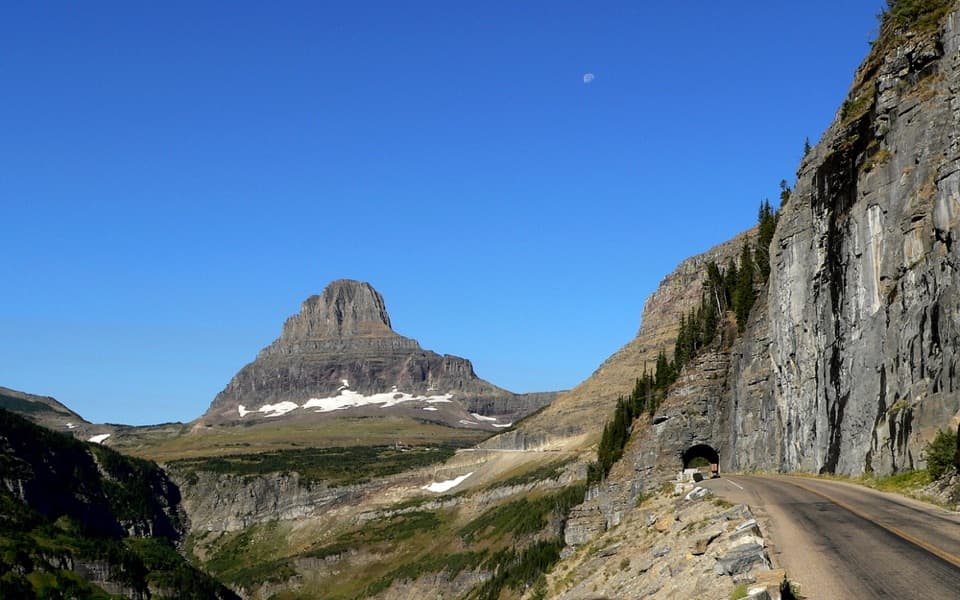 Sight · 2.4 mi awayEast TunnelA 408-foot cut through Piegan Mountain, right on the road.
 Sight · 2.6 mi awaySunrift GorgeA quick roadside stop for Baring Creek’s 80-foot-deep gorge.Sight · 2.7 mi awayBaring FallsA short waterfall walk, with a chance to spot dippers
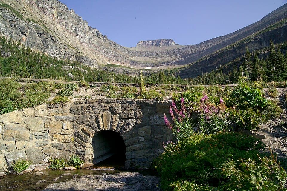 Sight · 2.8 mi awayLunch CreekA rock-step cascade beneath Pollock Mountain, framed by a stone bridge.
 Sight · 3.2 mi awayLogan PassThe high point of the road is also a great trailhead.
Parkwolf’s Glacier ranking

The audio tour guide for the drive, plus offline maps, trails, and wildlife heatmaps for when the signal drops.





