Parking
Start at the Trout Lake Trailhead on North Shore Lake McDonald Road. Parking is a narrow roadside area, not a large lot.
Glacier National Park, MT
Cross Howe Ridge to a backcountry campsite on Arrow Lake.
Overview
Map & elevation
Plan your hike

The highest, rockiest slopes around here are a summer buffet for grizzly bears.
Glacier Tour Guide
Parkwolf is a GPS audio tour guide for Glacier National Park. As you drive, it chimes in with what’s ahead: hidden gems, upcoming stops, history, geology, and wildlife, right through your car’s speakers.
See the Glacier audio tourRecorded for this trailhead
Trout Lake Trailhead“You’re nearing Trout Lake Trailhead, where the hike crosses Howe Ridge to a long lake framed by high peaks.”
Plays as you drive up to this trailhead in the Parkwolf Glacier Tour Guide.
More stories near here in the app
“Our first time to glacier and we used the audio portion for Going to the Sun Road. Wonderful information with perfect advice of what to see and do along the road.”


Trail guide
Arrow Lake Trail is a strenuous out-and-back from the Trout Lake Trailhead on North Shore Lake McDonald Road to the Arrow Lake backcountry campground. It is about 13.8 miles round trip (6.9 miles each way); plan on 10 to 12 hours if you do it in a day, or arrange a permitted overnight at the lake. The route climbs over Howe Ridge, drops to Trout Lake, follows its valley, then climbs again to Arrow Lake. This is remote bear country, so carry bear spray where you can reach it.
The trail climbs steeply from the road, gaining about 1,900 feet to Howe Ridge in just over two miles. Views open back toward Lake McDonald, Mount Brown and Cannon Mountain. At the junction, stay right toward Trout Lake; the old Howe Ridge fire trail continues as an unmaintained, overgrown route. Switchbacks lose about 1,200 feet to Trout Lake, with Rogers Lake visible below.
The trail runs near Trout Lake's shore for about two miles and crosses open avalanche slopes with views toward Stanton Mountain, Mount Vaught and McPartland Mountain. A final climb of roughly 650 feet through dense Douglas fir brings you to Arrow Lake campground near the lake's foot. The mapped trail continues toward Camas Lake, but this hike ends at Arrow Lake; the outlet ford is beyond the campground.
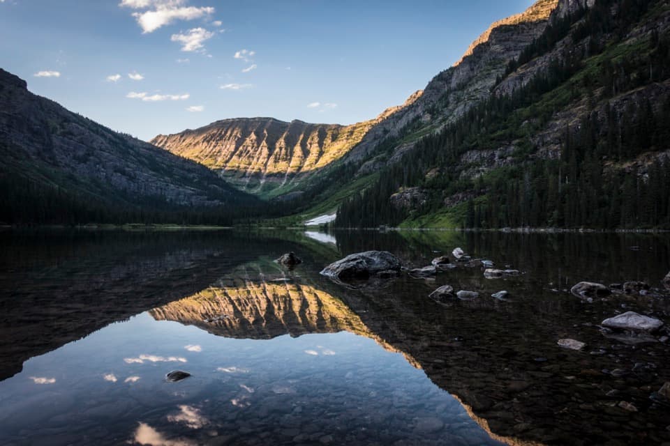
A small backcountry campground sits near the lake's foot. The rocky shoreline makes a strong foreground for the ridge reflected in the water. Staying overnight requires a Glacier wilderness permit.
Trout Lake was the site of one of Glacier's fatal grizzly attacks in 1967. Howe Ridge's forests were also shaped by the 2003 Robert Fire and the 2018 Howe Ridge Fire, which burned into part of the older fire's footprint. The route passes through a patchwork of older forest and regrowth.
Wildlife
 404 sightingsGrizzly BearMost seen around 6 AMSighting map
 11 sightingsWolverineMost seen around 8 PMSighting map
 1,173 sightingsMountain GoatMost seen around 6 AMSighting map
 1,000 sightingsBighorn SheepMost seen around 6 AMSighting map
 395 sightingsMooseMost seen around 6 AMSighting map
 506 sightingsBlack BearMost seen around 8 PMSighting map
Sighting maps show where each species has been reported across Glacier. Wildlife moves, so no sighting is guaranteed.
Keep exploring
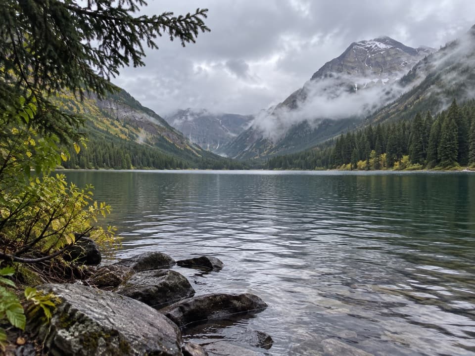 ChallengingTrout Lake Trail8 mi · 6 hr · At the trailheadClimb Howe Ridge for a lake framed by high peaks.ChallengingWest Lakes Trail21 mi · 12 hr · At the trailheadA rugged out-and-back over Howe Ridge to Glacier's remote lakes.
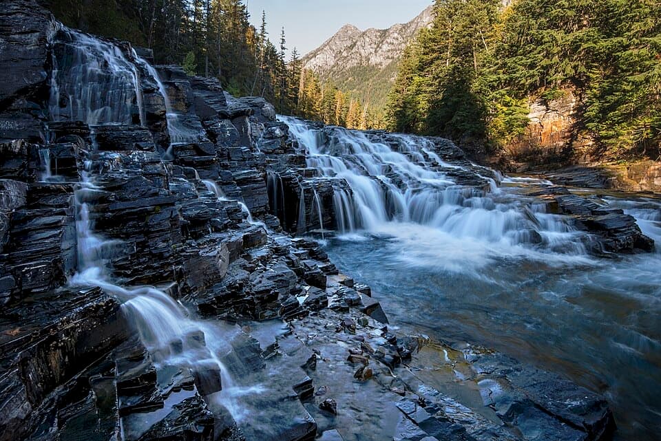 EasyUpper McDonald Creek Trail5.4 mi · 2.5 hr · 0.9 mi awayA gentle creek walk to two cascades and a quiet forest finish.
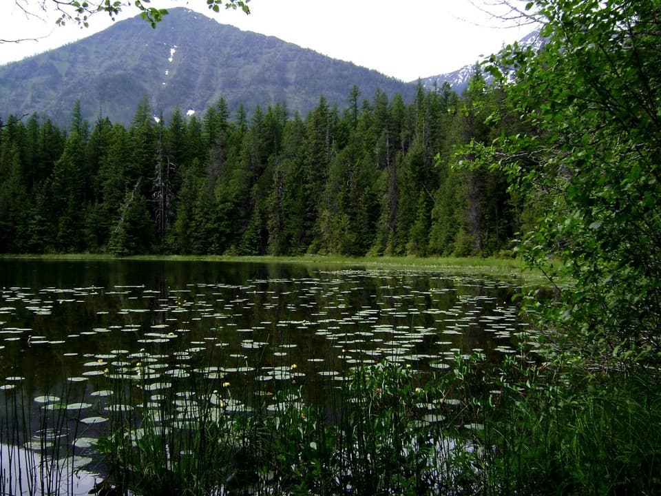 EasyJohns Lake Loop Trail2.6 mi · 1.5 hr · 1.2 mi awayA shady loop reaches a small lake, cascades, and a forest creek.
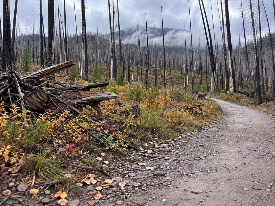 ModerateLake McDonald West Shore Trail7.1 mi · 3.5 hr · 1.3 mi awayA long, mostly level walk along Lake McDonald’s west shore.
 ChallengingSperry Glacier Trail18.4 mi · 11 hr · 1.5 mi awayA long climb to high lakes, a cable-assisted pass, and glacier ice.
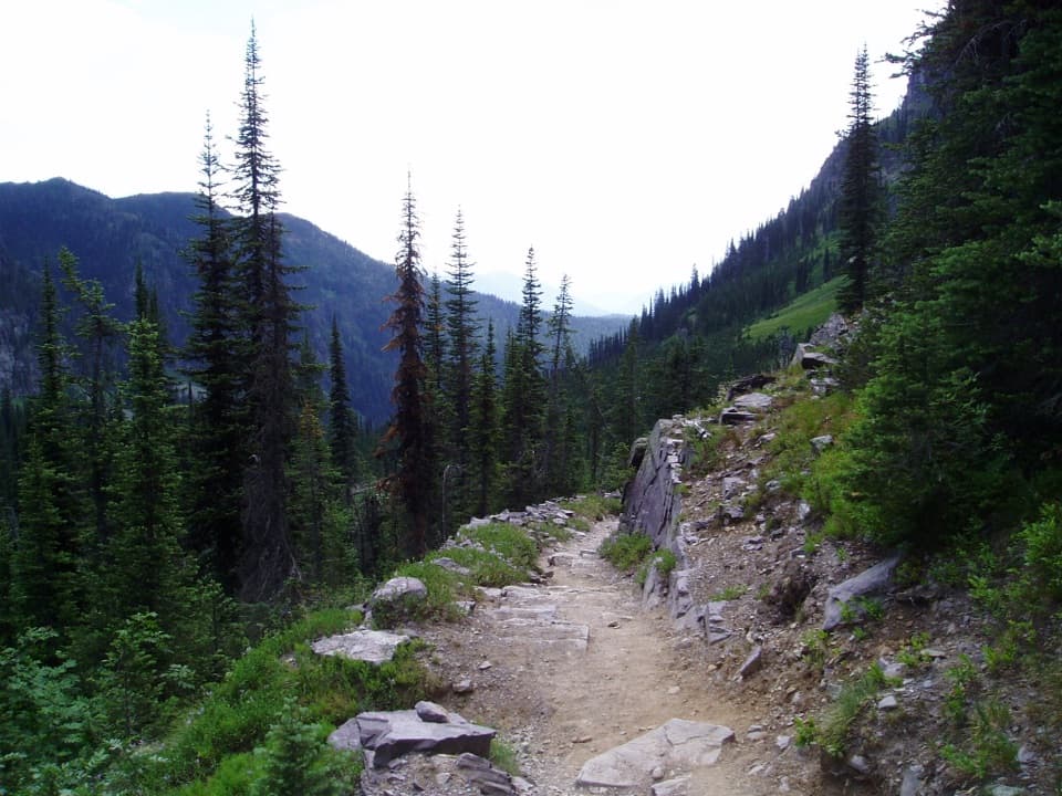 ChallengingSperry Chalet Trail12.6 mi · 9.5 hr · 1.6 mi awayA steep, rocky climb to the stone chalet above Lake McDonald
 ChallengingMount Brown Lookout Trail10.4 mi · 8.5 hr · 1.6 mi awayA 4,300-foot climb ends at a historic lookout above Lake McDonald.
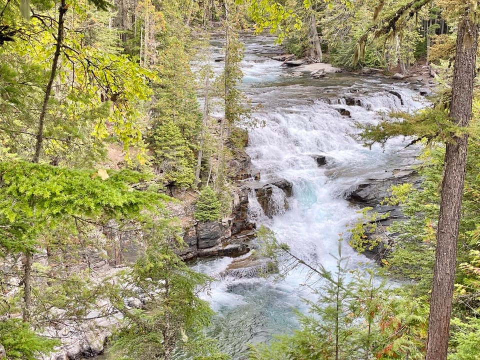 Sight · 1.1 mi awayMcDonald FallsA quick, accessible overlook above McDonald Creek’s blue-green rapids.
 Lodging · 1.4 mi awayMotel Lake McDonaldA no-frills stay near Lake McDonald Lodge.
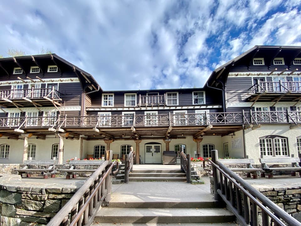 Sight · 1.5 mi awayLake McDonald LodgeA lakeside landmark for boat trips, meals, and its timbered lobby.
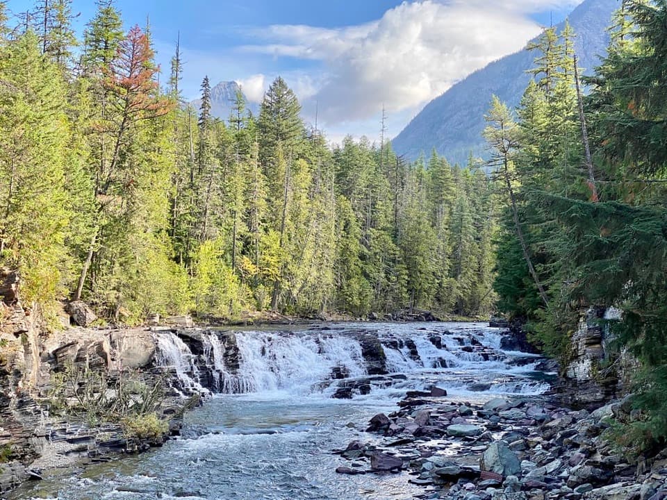 Sight · 1.6 mi awaySacred Dancing CascadeA quick stop for clear water spilling over layered creek rock.
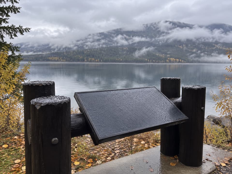 Scenic pullout · 1.8 mi awayNorth Lake McDonald ViewA lakeshore pause where Howe Ridge's fire history comes into view.
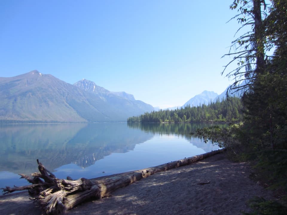 Campground · 2.2 mi awaySprague Creek CampgroundLake McDonald camping beneath cottonwoods, with some open shore views.Picnic area · 2.2 mi awaySprague Creek Picnic AreaA Lake McDonald picnic stop off the Going-to-the-Sun Road.
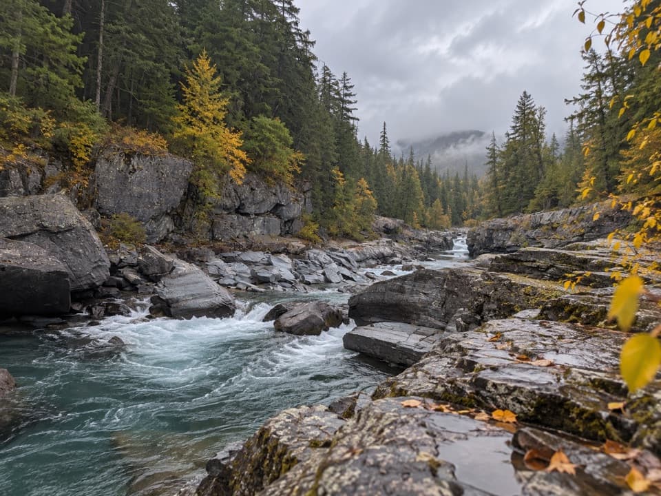 Sight · 2.5 mi awayMcDonald Creek OverlookA close look at Glacier's longest creek system.
Parkwolf’s Glacier ranking

The audio tour guide for the drive, plus offline maps, trails, and wildlife heatmaps for when the signal drops.





