Parking
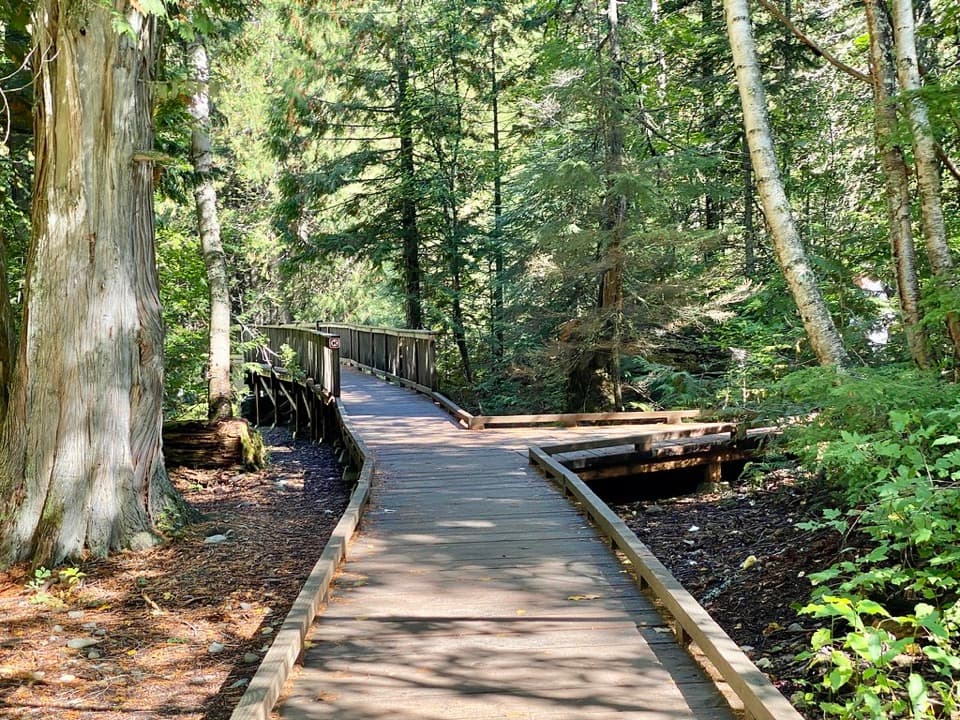
The Trout Lake Trailhead is on North Shore Lake McDonald Road; the signed access has a narrow roadside parking area, not a developed lot.
Glacier National Park, MT
A rugged out-and-back over Howe Ridge to Glacier's remote lakes.
Overview
West Lakes Trail is a 21-mile out-and-back from Trout Lake Trailhead to Camas Lake, crossing Howe Ridge and continuing past Trout and Arrow lakes. The mapped corridor is about 10.5 miles one way. Plan on about 12 hours and 3,150 feet of climbing on the way in; the return retraces the route and climbs back over the ridge. This is a hard, full-day backcountry hike for fit hikers comfortable with steep grades and stream fords. If you mainly want lake scenery, turn around at Trout Lake (about 7.6 miles round trip) or Arrow Lake (about 13.8 miles).
 Parkwolf’s verdictIs this the hike for you?
Map & elevation
Plan your hike

The highest, rockiest slopes around here are a summer buffet for grizzly bears.
Glacier Tour Guide
Parkwolf is a GPS audio tour guide for Glacier National Park. As you drive, it chimes in with what’s ahead: hidden gems, upcoming stops, history, geology, and wildlife, right through your car’s speakers.
See the Glacier audio tourRecorded for this trailhead
Trout Lake Trailhead“You’re nearing Trout Lake Trailhead, where the hike crosses Howe Ridge to a long lake framed by high peaks.”
Plays as you drive up to this trailhead in the Parkwolf Glacier Tour Guide.
More stories near here in the app
“Our first time to glacier and we used the audio portion for Going to the Sun Road. Wonderful information with perfect advice of what to see and do along the road.”


Trail guide
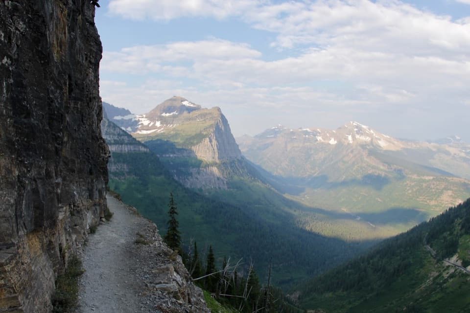
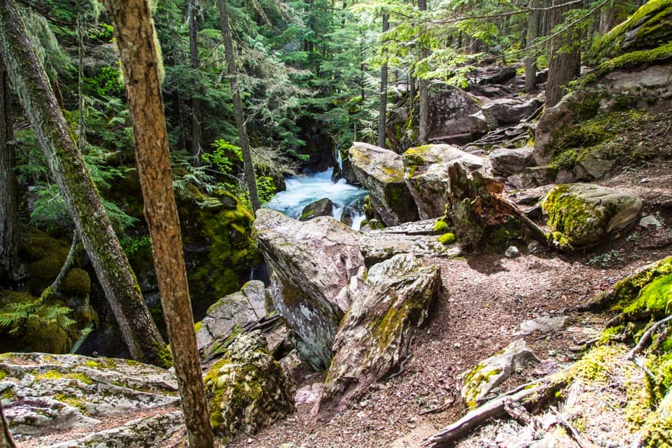
From the trailhead on North Shore Lake McDonald Road, the trail climbs to Howe Ridge, with views back over Lake McDonald as you gain elevation. At the junction, stay right toward Trout Lake; the Howe Ridge branch is unmaintained and overgrown. Switchbacks drop about 1,230 feet into Camas Valley. That descent is a steep climb again on your way out.
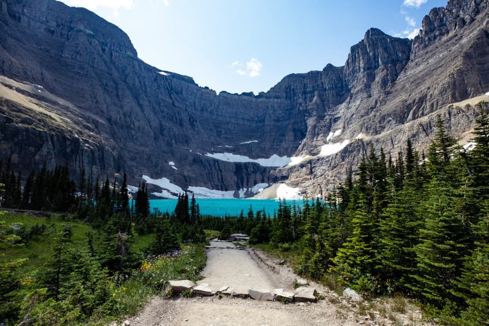
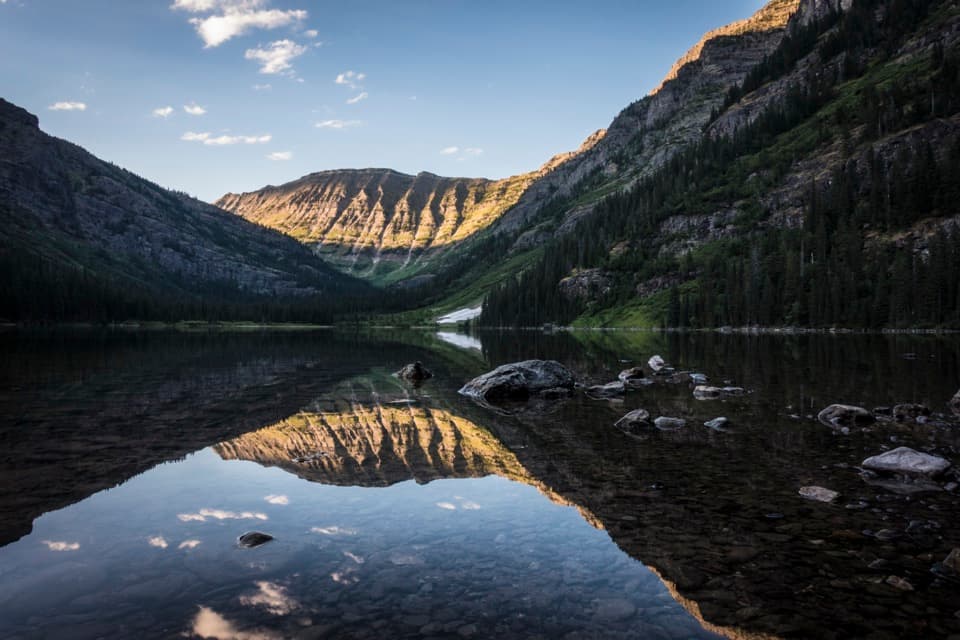
Near Trout Lake's foot, the route joins Camas Creek Trail. It passes through dense forest to the lake's log jam, then follows the shore for about two miles. Open avalanche slopes give you occasional views of the peaks across the valley. The trail climbs through Douglas fir to Arrow Lake, where Heavens Peak rises above the water. Arrow Lake is a natural turnaround before the more demanding final section; from its shore, the ridged cliff across the water makes a good reflection shot when the lake is still.
The Arrow Lake outlet is the first of five major stream fords before Camas Lake; four more come after it. These crossings can be cold, swift and difficult early in the season, and the trail often gets brushy later in summer. Camas Lake Campground sits near the trail's end, but the lake itself is enclosed by brushy ridges rather than opening into a broad view. The maintained route ends shortly beyond the lake; Lake Evangeline and Ruger Lake require off-trail bushwhacking and are not part of this hike.
The Trout Lake Trailhead is signed along North Shore Lake McDonald Road, where parking is a narrow roadside area rather than a developed lot. Pets aren't allowed on Glacier's trails or in the backcountry. This route runs through grizzly bear habitat, so follow the park's bear-safety rules.
Wildlife
 404 sightingsGrizzly BearMost seen around 6 AMSighting map
 11 sightingsWolverineMost seen around 8 PMSighting map
 1,173 sightingsMountain GoatMost seen around 6 AMSighting map
 1,000 sightingsBighorn SheepMost seen around 6 AMSighting map
 395 sightingsMooseMost seen around 6 AMSighting map
 506 sightingsBlack BearMost seen around 8 PMSighting map
Sighting maps show where each species has been reported across Glacier. Wildlife moves, so no sighting is guaranteed.
Keep exploring
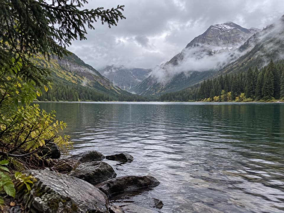 ChallengingTrout Lake Trail8 mi · 6 hr · At the trailheadClimb Howe Ridge for a lake framed by high peaks.ChallengingArrow Lake Trail13.8 mi · 10.5 hr · At the trailheadCross Howe Ridge to a backcountry campsite on Arrow Lake.
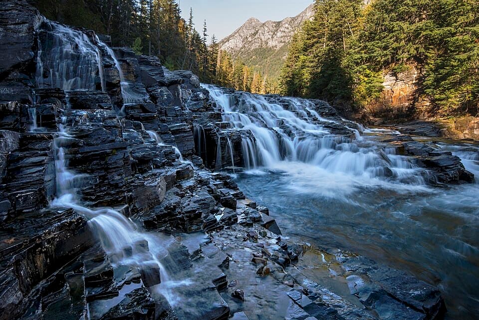 EasyUpper McDonald Creek Trail5.4 mi · 2.5 hr · 0.9 mi awayA gentle creek walk to two cascades and a quiet forest finish.
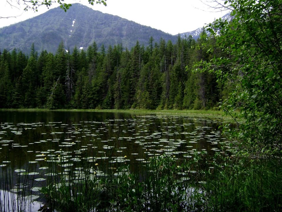 EasyJohns Lake Loop Trail2.6 mi · 1.5 hr · 1.2 mi awayA shady loop reaches a small lake, cascades, and a forest creek.
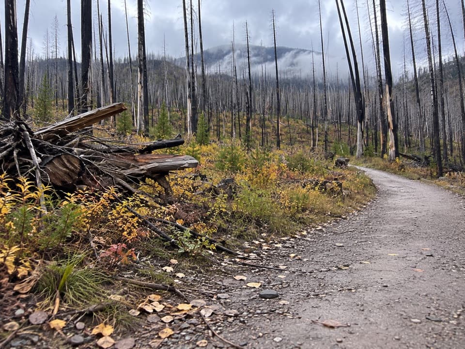 ModerateLake McDonald West Shore Trail7.1 mi · 3.5 hr · 1.3 mi awayA long, mostly level walk along Lake McDonald’s west shore.
 ChallengingSperry Glacier Trail18.4 mi · 11 hr · 1.5 mi awayA long climb to high lakes, a cable-assisted pass, and glacier ice.
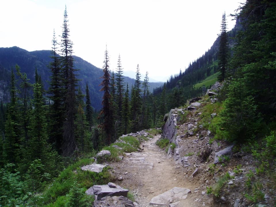 ChallengingSperry Chalet Trail12.6 mi · 9.5 hr · 1.6 mi awayA steep, rocky climb to the stone chalet above Lake McDonald
 ChallengingMount Brown Lookout Trail10.4 mi · 8.5 hr · 1.6 mi awayA 4,300-foot climb ends at a historic lookout above Lake McDonald.
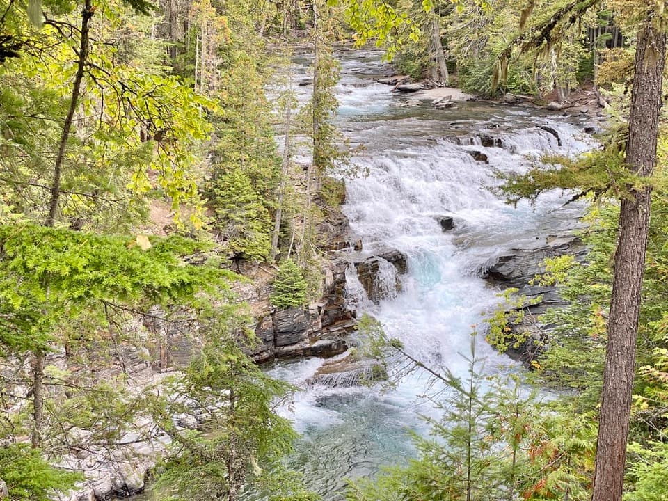 Sight · 1.1 mi awayMcDonald FallsA quick, accessible overlook above McDonald Creek’s blue-green rapids.
 Lodging · 1.4 mi awayMotel Lake McDonaldA no-frills stay near Lake McDonald Lodge.
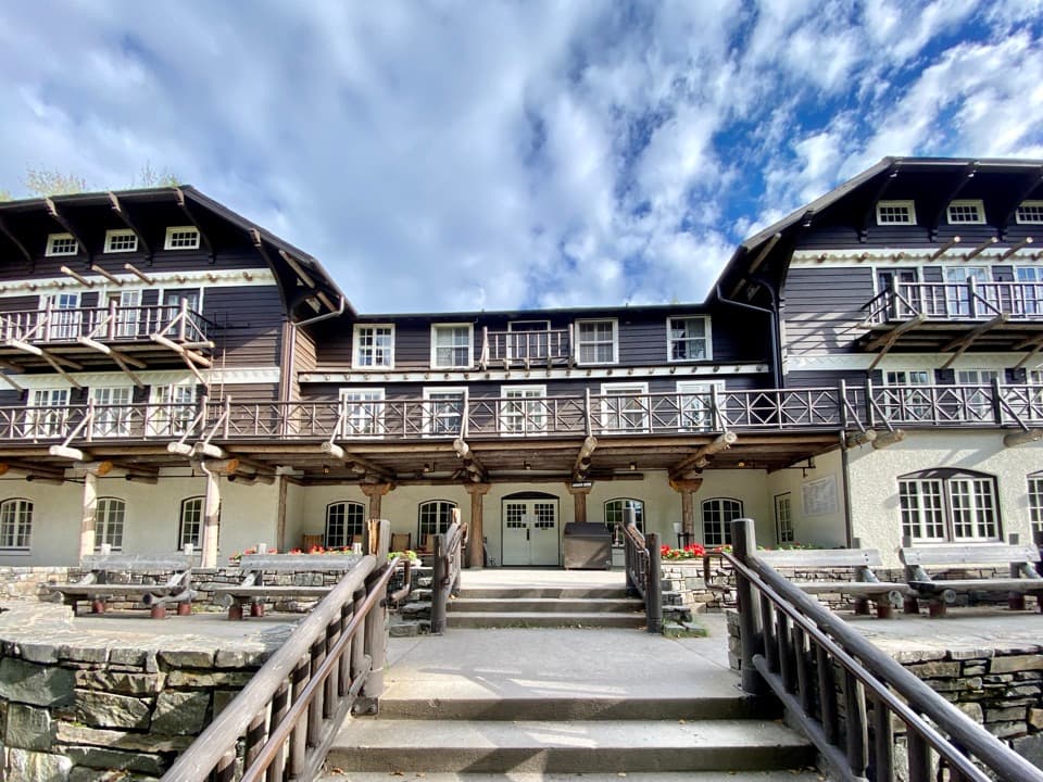 Sight · 1.5 mi awayLake McDonald LodgeA lakeside landmark for boat trips, meals, and its timbered lobby.
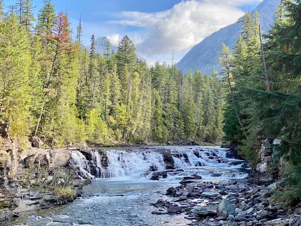 Sight · 1.6 mi awaySacred Dancing CascadeA quick stop for clear water spilling over layered creek rock.
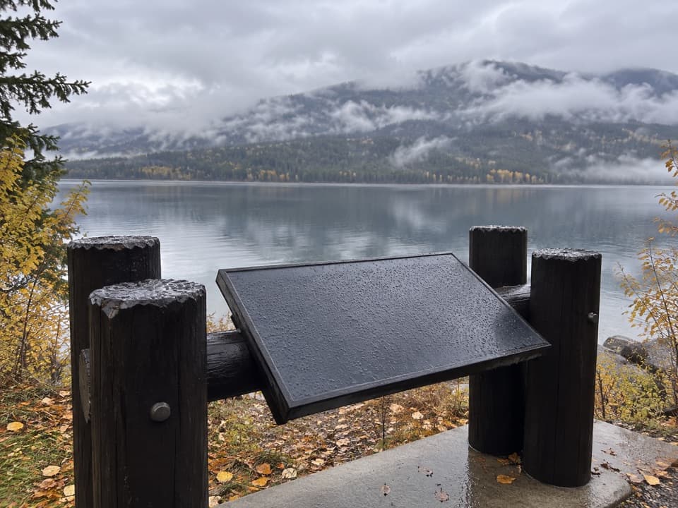 Scenic pullout · 1.8 mi awayNorth Lake McDonald ViewA lakeshore pause where Howe Ridge's fire history comes into view.
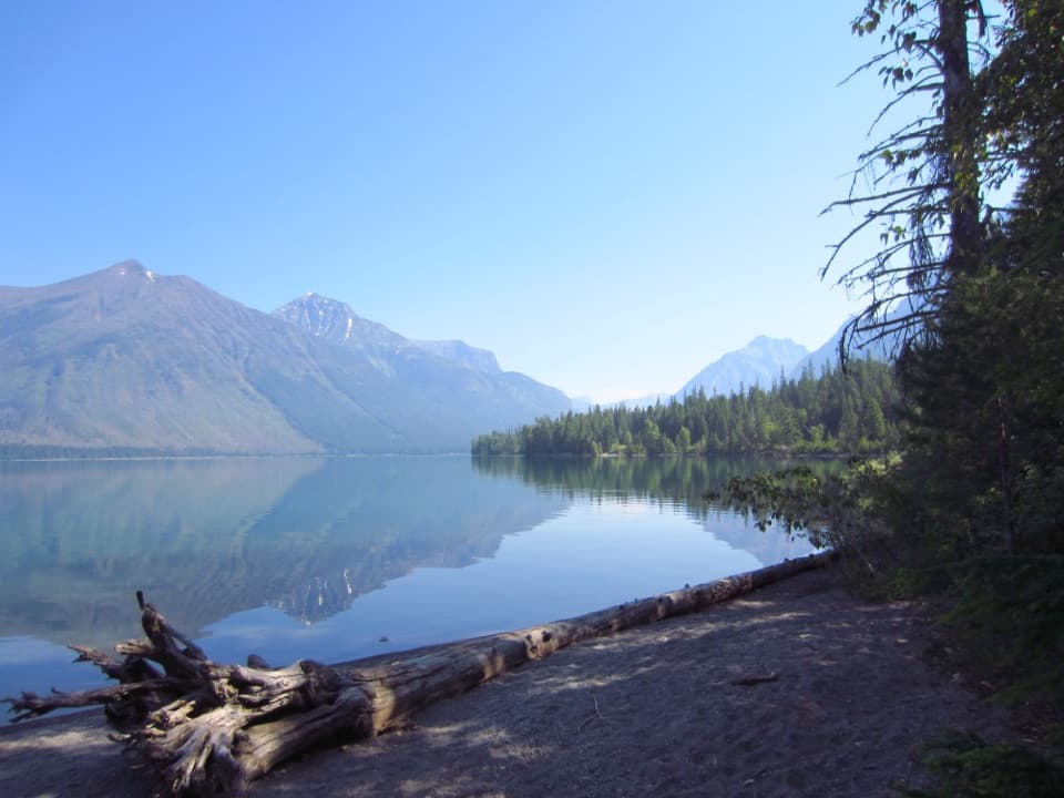 Campground · 2.2 mi awaySprague Creek CampgroundLake McDonald camping beneath cottonwoods, with some open shore views.Picnic area · 2.2 mi awaySprague Creek Picnic AreaA Lake McDonald picnic stop off the Going-to-the-Sun Road.
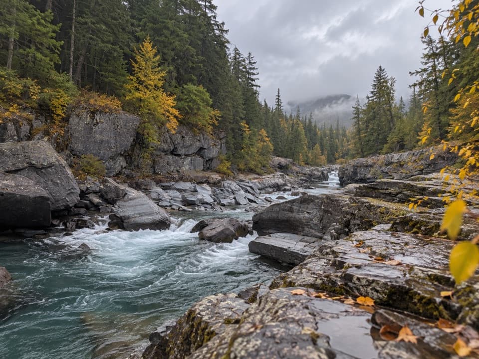 Sight · 2.5 mi awayMcDonald Creek OverlookA close look at Glacier's longest creek system.
Parkwolf’s Glacier ranking
The audio tour guide for the drive, plus offline maps, trails, and wildlife heatmaps for when the signal drops.