Parking
The upper junction is on Gunsight Pass Trail above Lake Ellen Wilson Campground and has no road access or adjacent parking. Reach it on the backcountry trail from a road-access trailhead; the full approach depends on the chosen itinerary.

Glacier National Park, MT
A short meadow descent ends below Gunsight Pass’s steep cirque wall.
Overview
Map & elevation
Plan your hike

The highest, rockiest slopes around here are a summer buffet for grizzly bears.
Glacier Tour Guide
Parkwolf is a GPS audio tour guide for Glacier National Park. As you drive, it chimes in with what’s ahead: hidden gems, upcoming stops, history, geology, and wildlife, right through your car’s speakers.
See the Glacier audio tourMore stories near here in the app
“Our first time to glacier and we used the audio portion for Going to the Sun Road. Wonderful information with perfect advice of what to see and do along the road.”


Trail guide
The Ellen Wilson Trail is a 0.4-mile, one-way spur from Gunsight Pass Trail down through an alpine meadow to Lake Ellen Wilson Campground and the lake shore. It loses about 250 feet over the descent; allow roughly 20 minutes for this segment. The upper junction is deep in Glacier’s backcountry, so the 0.4 miles cover only the spur, not the journey from a road.
The path drops steadily across open meadow, with an average grade around 13% and short sections up to 20%. If you turn back to the upper junction, retrace the same spur for about 0.8 miles total, climbing roughly the 250 feet you descended. The mapped line follows the one-way segment from the Gunsight Pass Trail junction to the lake-side campground.
The route reaches Lake Ellen Wilson Campground at the shore of a lake set inside a steep-walled alpine basin. Gunsight Pass forms the basin’s high saddle and headwall; the open meadow gives way to the enclosed lake setting as you descend. The campground is a wilderness destination rather than a road-accessed facility.
Wildlife
 404 sightingsGrizzly BearMost seen around 6 AMSighting map
 11 sightingsWolverineMost seen around 8 PMSighting map
 1,173 sightingsMountain GoatMost seen around 6 AMSighting map
 1,000 sightingsBighorn SheepMost seen around 6 AMSighting map
 395 sightingsMooseMost seen around 6 AMSighting map
 506 sightingsBlack BearMost seen around 8 PMSighting map
Sighting maps show where each species has been reported across Glacier. Wildlife moves, so no sighting is guaranteed.
Keep exploring
 ChallengingJackson Glacier Trail1.1 mi · 1.5 hr · 2.5 mi awayA rough climb ends in meadows beneath Jackson Glacier.
 EasyJohns Lake Loop Trail2.6 mi · 1.5 hr · 5.2 mi awayA shady loop reaches a small lake, cascades, and a forest creek.
 ModerateSnyder Lakes Trail8.6 mi · 5.5 hr · 5.4 mi awayA forest climb opens onto talus, meadows, and Lower Snyder Lake.
 EasyAvalanche Trail5.6 mi · 3 hr · 5.4 mi awayA shaded forest crossing between Lake McDonald and Avalanche Creek.
 ModerateAvalanche Lake Trail5 mi · 4.5 hr · 5.4 mi awayA half-mile of cedars before the big lake payoff.
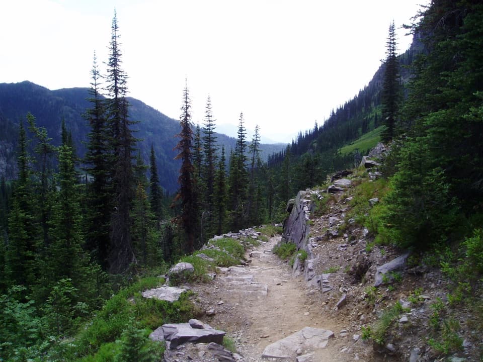 ChallengingSperry Chalet Trail12.6 mi · 9.5 hr · 5.5 mi awayA steep, rocky climb to the stone chalet above Lake McDonald
 ChallengingMount Brown Lookout Trail10.4 mi · 8.5 hr · 5.5 mi awayA 4,300-foot climb ends at a historic lookout above Lake McDonald.
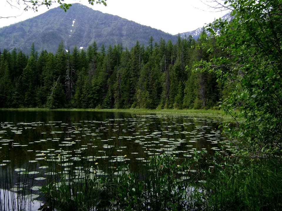
 ModerateFish Lake Trail5.4 mi · 3.5 hr · 5.5 mi awayA small lily-pad lake, earned with a steady 1,000-foot climb.
 Lodging · 1.4 mi awaySperry ChaletA historic hike-in chalet with meals and resident mountain goats.
 Sight · 3.6 mi awayAvalanche LakeThin waterfalls stripe steep walls above a clear lake.
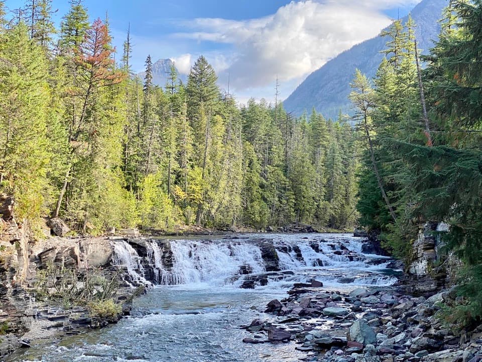 Sight · 5.1 mi awaySacred Dancing CascadeA quick stop for clear water spilling over layered creek rock.
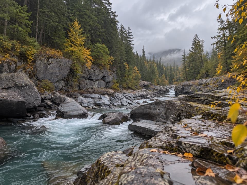 Sight · 5.1 mi awayMcDonald Creek OverlookA close look at Glacier's longest creek system.
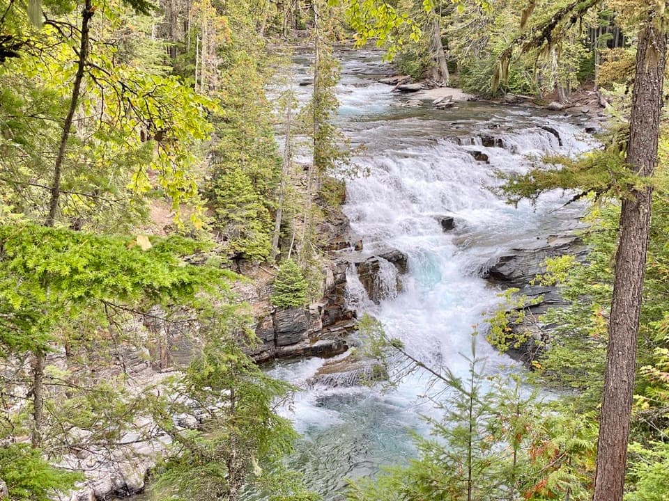 Sight · 5.4 mi awayMcDonald FallsA quick, accessible overlook above McDonald Creek’s blue-green rapids.
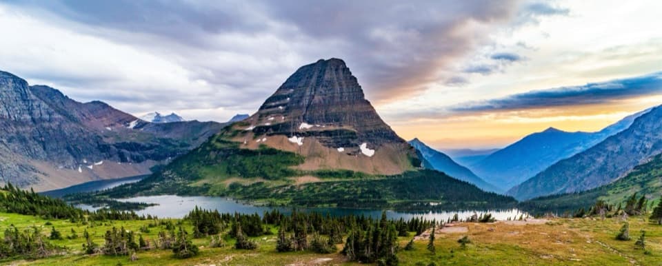 Sight · 5.5 mi awayHidden Lake OverlookAn exposed climb earns the park's classic view of Hidden Lake.
 Lodging · 5.5 mi awayMotel Lake McDonaldA no-frills stay near Lake McDonald Lodge.
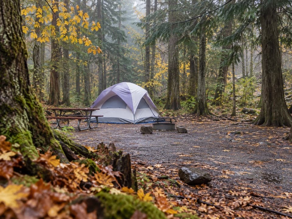 Campground · 5.6 mi awayAvalanche CampgroundA cedar-forest base for Avalanche Lake and Trail of the Cedars.
Parkwolf’s Glacier ranking

The audio tour guide for the drive, plus offline maps, trails, and wildlife heatmaps for when the signal drops.




