1 active Glacier alert
- ClosureTwo Medicine Campground closed for 2026 constructionTwo Medicine Campground is closed throughout 2026 because of construction in the Two Medicine developed area.Official details
#9 of 53 sights in Glacier
Sight · Glacier National Park
A glacier view worth the quick stop on Going-to-the-Sun Road.
Overview
Map
Plan your stop

The highest, rockiest slopes around here are a summer buffet for grizzly bears.
Glacier Tour Guide
Parkwolf is a GPS audio tour guide for Glacier National Park. As you drive, it chimes in with what’s ahead: hidden gems, upcoming stops, history, geology, and wildlife, right through your car’s speakers.
See the Glacier audio tourRecorded for this place
Jackson Glacier Overlook“Jackson Glacier Overlook is coming up, with a view of glacier ice without a hike.”
Plays as you drive up to Jackson Glacier Overlook in the Parkwolf Glacier Tour Guide.
More stories near here in the app
“Our first time to glacier and we used the audio portion for Going to the Sun Road. Wonderful information with perfect advice of what to see and do along the road.”


Guide
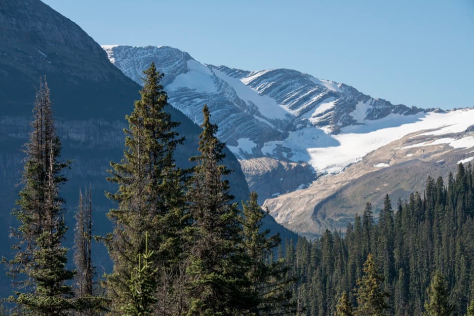
Jackson Glacier Overlook is a roadside viewpoint on Going-to-the-Sun Road, with Jackson Glacier visible from the parking area. It’s the road’s best glacier view, but the ice is still distant; I’d stop when the basin is clear enough to pick it out, and keep moving if cloud or rain hides it. You don’t need a hike for the view. The trail toward Gunsight Lake also starts here if you’re turning the pullout into a longer outing. Going-to-the-Sun Road closes seasonally, so check access before you set out.
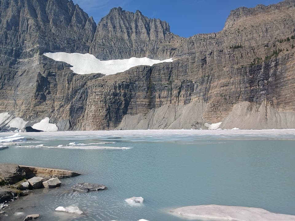
The ice rests in a high saddle between Mount Jackson and Blackfoot Mountain, with forest on the lower slopes. Keep some trees and the surrounding ridges in your photo; a tight zoom loses the scale and shows less of where the glacier sits. Trees partly screen the view from some angles, so keep some of the conifers and ridges in frame rather than zooming tightly on the ice.
Jackson Glacier measured 316 acres in 1966 and 187 acres in 2015, about 41 percent smaller by those measurements. That makes this more than a pretty stop: the pale ice is part of a long-running change you can look for from the road. In 1914, USGS geologist William Alden photographed the glacier; later comparisons use his image to show the glacier’s retreat.
Jackson Glacier sits in a cirque, a steep-sided bowl carved by a glacier, between Mount Jackson and Blackfoot Mountain. Larger glaciers of the last Ice Age left this hollow behind. As the current glacier moves downslope, it scrapes and carries rock too; the shape around it is a clue to the much bigger ice that once filled the basin.
Wildlife
 404 sightingsGrizzly BearMost seen around 6 AMSighting map
 11 sightingsWolverineMost seen around 8 PMSighting map
 1,173 sightingsMountain GoatMost seen around 6 AMSighting map
 1,000 sightingsBighorn SheepMost seen around 6 AMSighting map
 395 sightingsMooseMost seen around 6 AMSighting map
 506 sightingsBlack BearMost seen around 8 PMSighting map
Sighting maps show where each species has been reported across Glacier. Wildlife moves, so no sighting is guaranteed.
Keep exploring
 ChallengingFlorence Falls Trail9.8 mi · 4.5 hr · 0.1 mi awayA long out-and-back to Florence Falls through creek and pond country
 ChallengingGunsight Pass Trail to Lake McDonald Lodge19.5 mi · 14 hr · 0.1 mi awayA demanding east-to-west traverse over two high alpine passes.
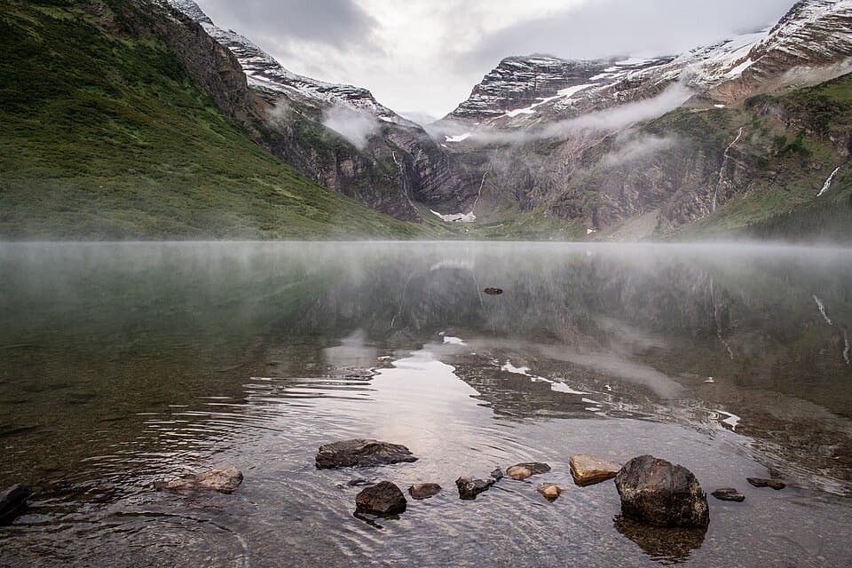 ChallengingGunsight Lake Trail12.9 mi · 8.5 hr · 0.1 mi awayA long valley walk to Gunsight Lake’s rocky shore
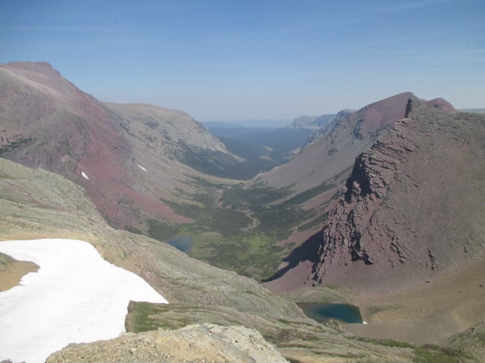 ChallengingSiyeh Pass Trail10 mi · 7 hr · 1.7 mi awayA steep pass crossing rewarded with Sexton Glacier and Baring Creek.
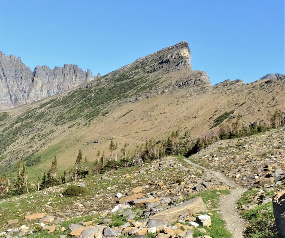 ChallengingPiegan Pass Trail9 mi · 6 hr · 1.7 mi awayA high saddle, glacier views, and a vanished railway bell.
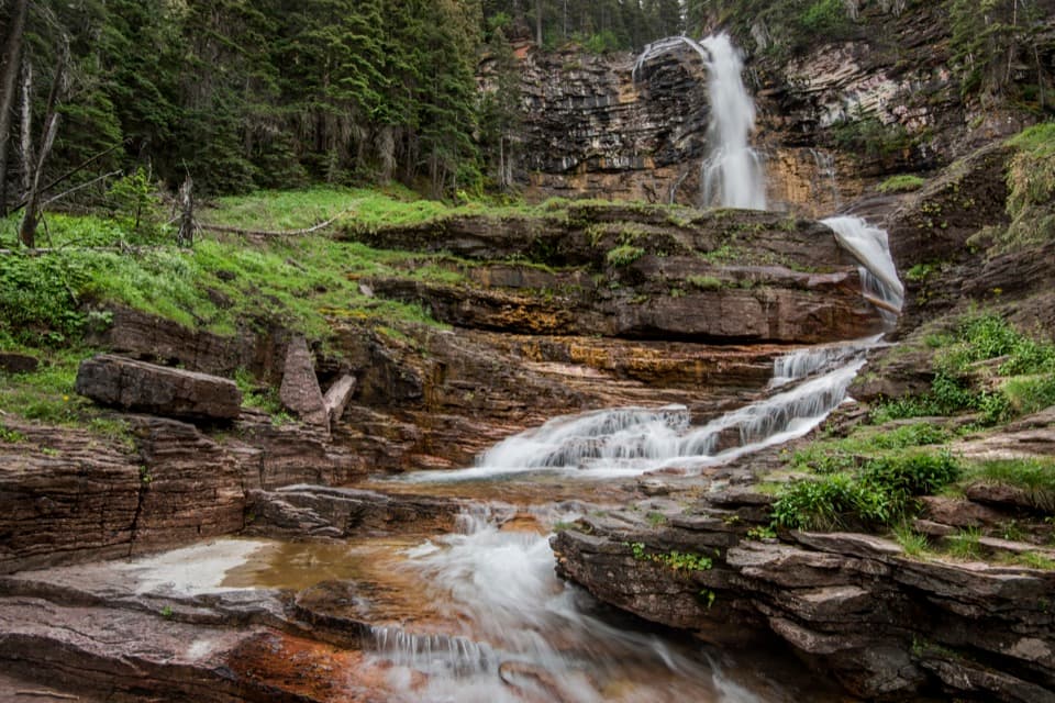 ModerateVirginia Falls Trail3.2 mi · 2 hr · 2.1 mi awayTwo falls, views through the burn, and a harder climb back.
 ModerateSt. Mary Falls Trail1.6 mi · 1.3 hr · 2.1 mi awayA short descent to a bridge beneath a three-tier waterfall
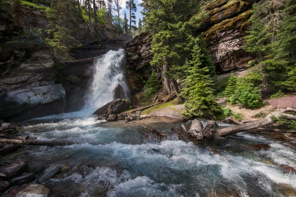 EasyBaring Falls Trail0.7 mi · 36 min · 2.7 mi awayA short creekside walk to a 25-foot waterfall.
 Sight · 1.9 mi awaySt. Mary FallsTwo foaming drops and blue-green pools reward this short hike.Sight · 2.3 mi awayVirginia FallsKeep going past St. Mary Falls for the bigger cascade.
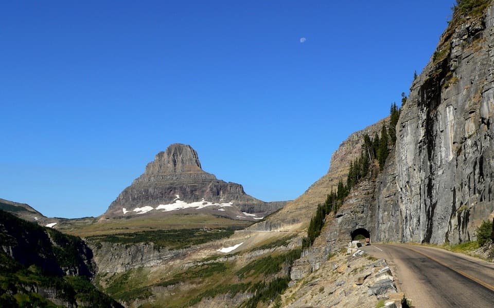 Sight · 2.3 mi awayEast TunnelA 408-foot cut through Piegan Mountain, right on the road.
 Sight · 2.7 mi awaySunrift GorgeA quick roadside stop for Baring Creek’s 80-foot-deep gorge.
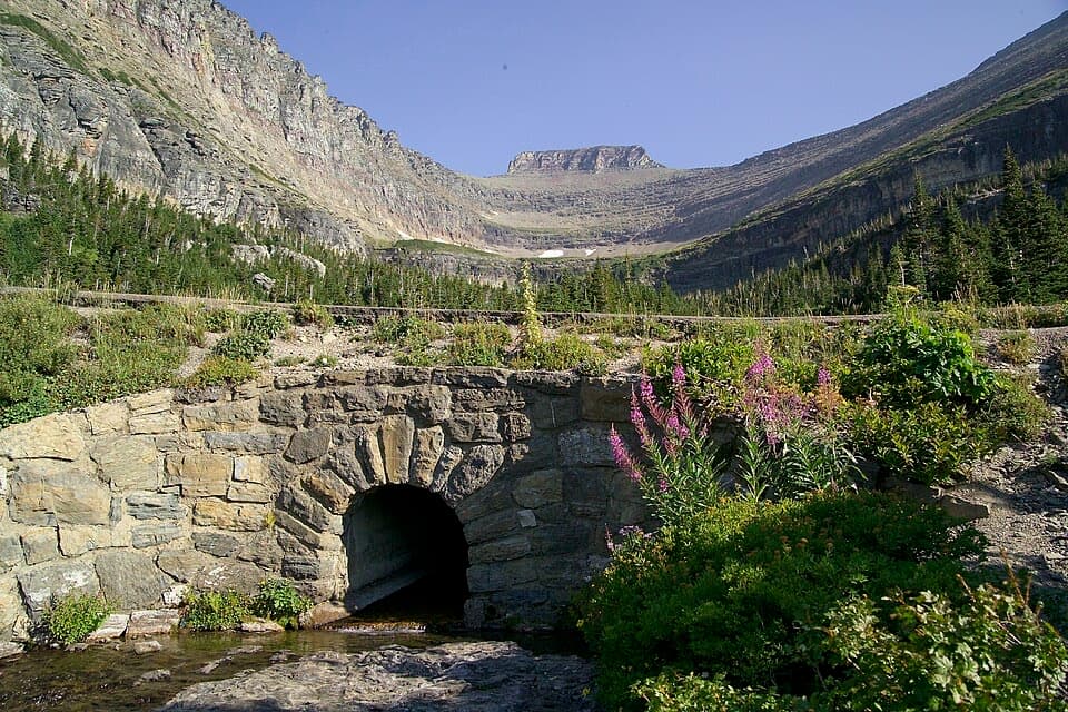 Sight · 2.7 mi awayLunch CreekA rock-step cascade beneath Pollock Mountain, framed by a stone bridge.Sight · 2.8 mi awayBaring FallsA short waterfall walk, with a chance to spot dippers
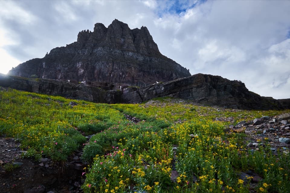 Sight · 3.1 mi awayLogan PassThe high point of the road is also a great trailhead.
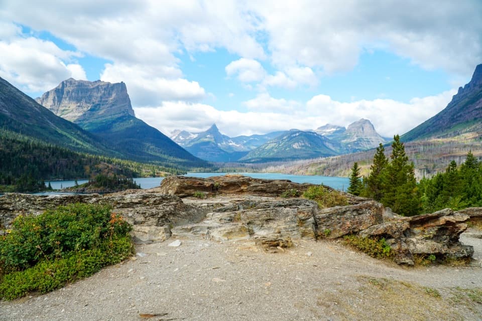 Sight · 3.5 mi awaySun PointA big lake view with a long-gone railway chalet story.
Parkwolf’s Glacier ranking

The audio tour guide for the drive, plus offline maps, trails, and wildlife heatmaps for when the signal drops.