Mount Difficult (Gar) in Grampians National Park

Sight · Grampians National Park

Mount Difficult (Gar)

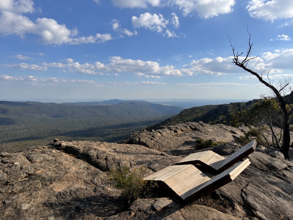
Rugged summit slabs open onto 360-degree views across northern Gariwerd

Type
Sight
Nearest trail
1.5 km
Audio stories
6 nearby
  • #21 of 46 sights

Hear the audio tour

Gar and Troopers Creek: Falls or Summit

Overview

About Mount Difficult (Gar)

Why stop

  • Big 360-degree views with a genuinely wild summit feel

Heads up

  • A long, exposed Grade 4 hike over rough, slippery rock
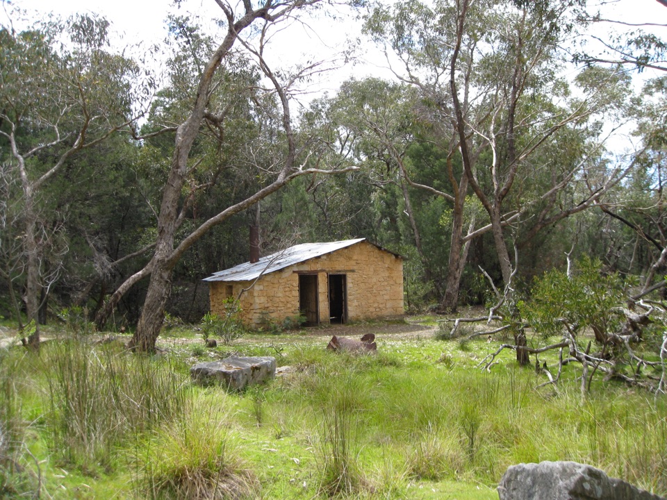
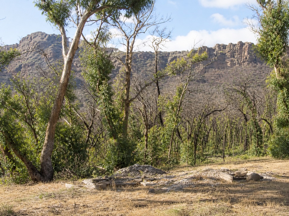
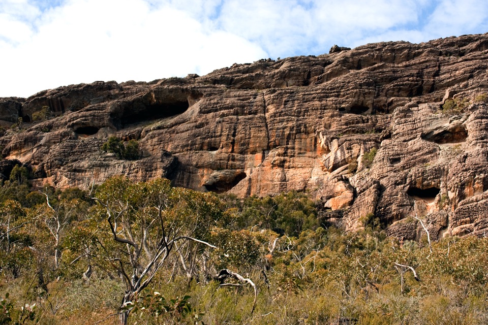
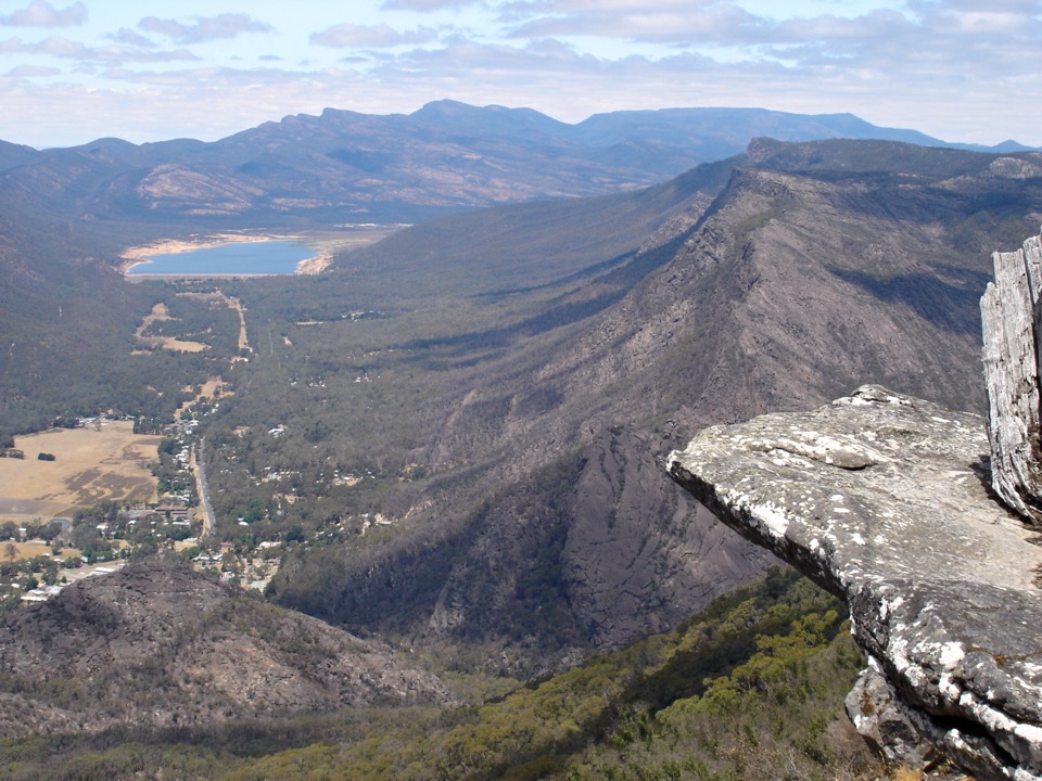
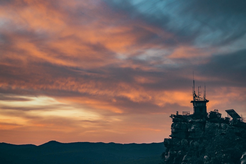
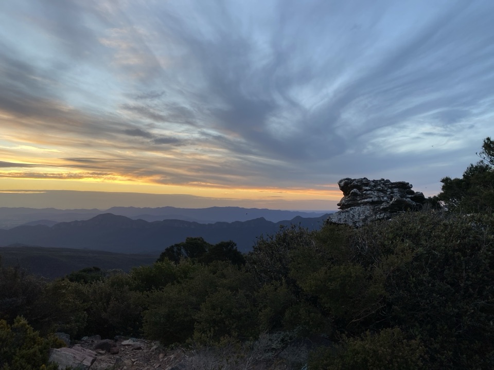
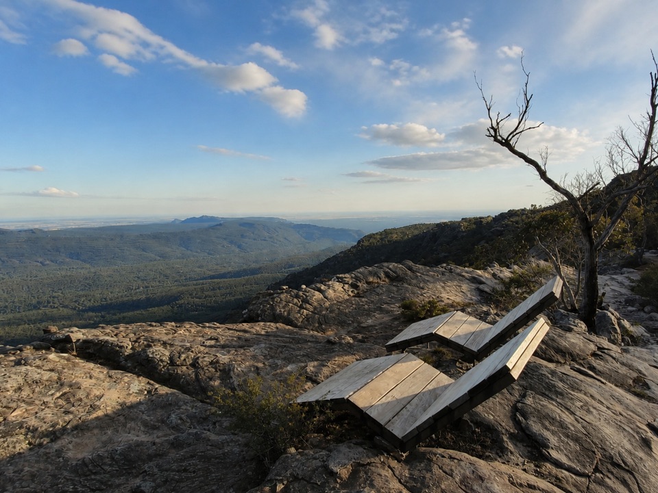
Mount Difficult, also known as Gar, is the highest summit on the western side of the Mount Difficult Range. The summit is a broad, weathered sandstone platform with a real sense of exposure and space. From the rock, the view opens in every direction across the northern ranges, forested valleys, Wartook country and distant plains. It is a different experience from a drive-up lookout: you earn the panorama on foot, then get time to read the shape of Gariwerd from above.
Parkwolf’s verdictWhy stop

Map

Where it is

Loading the Grampians map
Full map
SightMount Difficult (Gar)-37.00970, 142.44091
Keep this map with you offline in the Parkwolf app

Plan your stop

Before you go

Best time to go

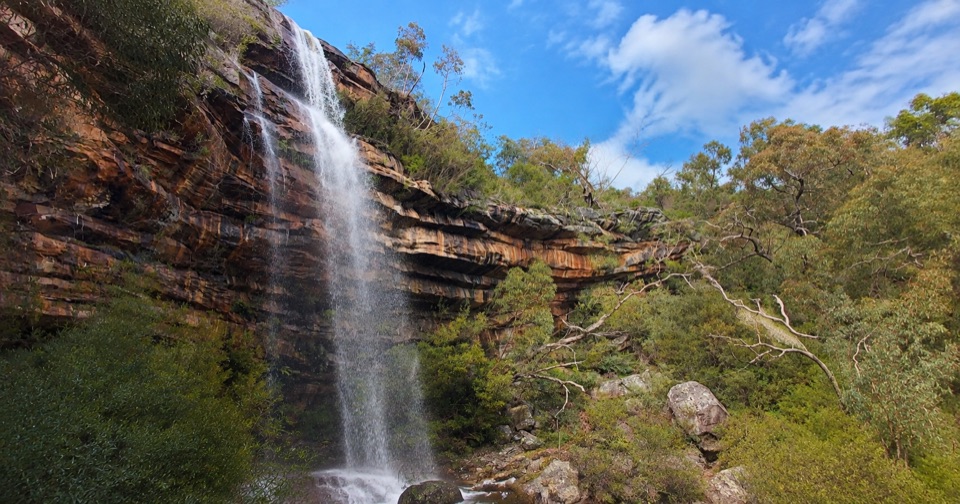
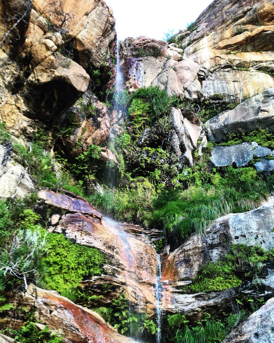
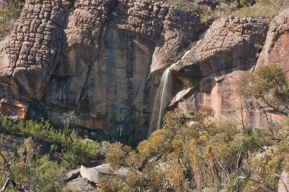
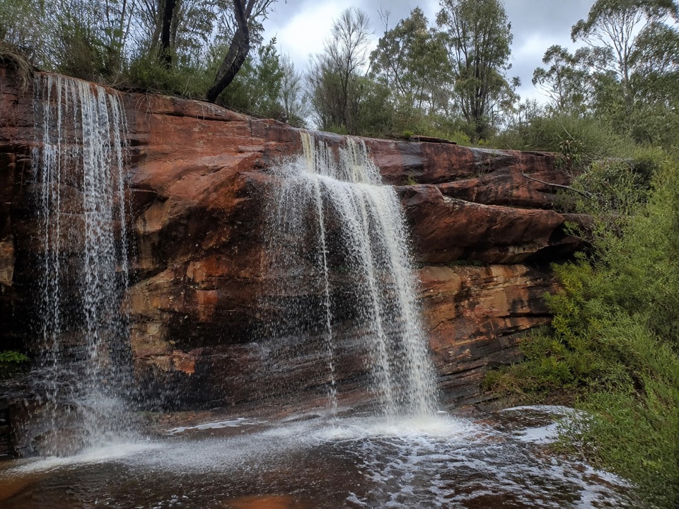
Winter, spring and the period after rain bring the best chance of seasonal waterfalls and full rockpools along the Gar section, but wet sandstone is less forgiving. Start early on warm days, especially if you are completing the approach as a day walk. Sunrise is a particularly good time for the summit: the low light brings texture to the sandstone and gives the surrounding ridges a softer, layered look. Late afternoon is also attractive, but leave enough daylight for the rough descent.

This is a rewarding destination for fit hikers who want a proper summit and broad northern-Grampians views. It is a poor match for anyone looking for a quick scenic stop, easy access or guaranteed facilities at the viewpoint.


Getting there

Treat this as a serious hike, not a roadside attraction. The maintained approach begins at Gar Trailhead on Roses Gap Road and forms part of the northern Grampians Peaks Trail. Parks Victoria’s Gar and Werdug itinerary is a 34 km, Grade 4, three-day walk: the first day climbs about 7 km to Gar Hike-in Campground, and the summit is an optional side trip from camp on the following day.

A separate day-walk approach from Troopers Creek is listed at roughly 16 km return with about 624 m of climbing. Route figures vary with the starting point and track conditions, but every version involves a long, rocky climb. Gar Trailhead is reached from Halls Gap via Mt Zero Road and Roses Gap Road, including an unsealed section, so allow time for the drive and arrive ready to walk.

5 active Grampians alerts

  • ClosureBushfire-damaged walks and picnic area remain closedThe Fortress, Red Gum, Billimina, Chimney Pots and Brownings Loop walks, plus Mafeking Picnic Area, remain closed because of track or site damage from the 2024/25 summer bushfires.Official details
  • ClosureMackenzie Falls precinct closed during constructionThe Mackenzie Falls (Migunang wirab) Precinct has no vehicle or visitor access during major construction works expected to finish by the end of 2026.Official details
See all 5 alerts
A park ranger sits on a dash-mounted phone, talking, as Parkwolf’s Tour Guide plays “Army Cutworm Moths: A Grizzly Bear Buffet” on Grand Loop Road below Dunraven Pass in Yellowstone
Parkwolf Tour GuideThe highest, rockiest slopes around here are a summer buffet for grizzly bears.

Grampians Tour Guide

Your drive to Mount Difficult (Gar), narrated.

Parkwolf is a GPS audio tour guide for Grampians National Park. As you drive, it chimes in with what’s ahead: hidden gems, upcoming stops, history, geology, and wildlife, right through your car’s speakers.

Recorded for this place

Gar and Troopers Creek: Falls or Summit
0:00 / 1:04
“You're approaching Gar Trailhead, near Troopers Creek Campground, where it's worth separating the lower waterfall walk from the much bigger climb to Mount Difficult.”

Plays as you drive up to Mount Difficult (Gar) in the Parkwolf Grampians Tour Guide.

More stories near here in the app

  • Mount Difficult: The Summit Climb
  • Gariwerd and the Grampians
  • The Banksia's Underground Brushes
  • How Sand Became Mountains
  • 233 audio storiesacross Grampians’s roads, triggered by GPS as you drive
  • Wildlife heatmapsfor Short-beaked Echidna, Powerful Owl, Wedge-tailed Eagle, and 13 more
  • Works offlinemaps, 81 trails, 62 places, and audio download before you lose signal
  • CarPlay readysimple controls built for the drive
★★★★★
“Fantastic app with many points of information… It’s great to just turn on while you’re driving and it gives you an audio tour of the national Park. We love it!!!!”
JMJamesApp Store review
Download Parkwolf on the App StoreGet Parkwolf on Google Play

4.7 from 8,600+ ratings

Guide

More about Mount Difficult (Gar)

Terrain and preparationThis is Grade 4 terrain with steep and uneven ground, exposed rock slabs, limited shade and…

This is Grade 4 terrain with steep and uneven ground, exposed rock slabs, limited shade and slippery surfaces after rain. The summit itself has no visitor services, and the nearest toilets, shelter and water collection point are at the hike-in campground rather than on the peak. Campgrounds require advance booking, and their tank water is untreated, so carry enough drinking water or bring a reliable treatment method.

Wear supportive shoes with good grip and pack food, sun protection, warm and waterproof layers, an offline map and a first-aid kit. Mobile coverage can be unreliable or absent in the Wartook Basin. Keep to formed routes around unstable cliffs, do not climb the edges, and leave dogs, bikes and campfires at home.

Why stopThe name matters here.

The name matters here. Parks Victoria uses Gar, meaning “big mountain,” alongside Mount Difficult. The dual name is useful when you are comparing trail maps, signs and route listings.

Wildlife

Wildlife in Grampians

All Grampians wildlife maps

Sighting maps show where each species has been reported across Grampians. Wildlife moves, so no sighting is guaranteed.

Parkwolf’s Grampians ranking

Top sights in Grampians

All 62 places
  1. 1MacKenzie Falls (Migunang wirab)Sight
  2. 2Pinnacle LookoutSight
  3. 3Boroka LookoutSight
  4. 4Reeds LookoutSight
  5. 5The BalconiesSight
  6. 6Mount William (Duwul)Sight

Take Parkwolf to Grampians.

The audio tour guide for the drive, plus offline maps, trails, and wildlife heatmaps for when the signal drops.

4.7 from 8,600+ ratings

Download Parkwolf on the App StoreGet Parkwolf on Google Play