Parking
Park at Gar Trailhead on Roses Gap Road, or arrange a licensed tour-operator transfer.

Grampians National Park, VIC
Follow a creek to seasonal falls, then camp on a rocky escarpment
Overview
From Gar Trailhead the walking starts gently through dense bushland alongside Dead Bullock Creek, passing seasonal waterfalls, before the climb up to the rocky escarpment of Gar (Mount Difficult) and the campground. The payoff is the camp terrace and its mountain outlook. From camp there's an optional 1.4 km one way spur over steep rocky slabs to the summit, an optional sunrise add-on rather than part of the main route. Next morning you walk the same corridor back to the trailhead.
 Parkwolf’s verdictThe sequence and the payoff
Map & elevation
Plan your hike

The highest, rockiest slopes around here are a summer buffet for grizzly bears.
Grampians Tour Guide
Parkwolf is a GPS audio tour guide for Grampians National Park. As you drive, it chimes in with what’s ahead: hidden gems, upcoming stops, history, geology, and wildlife, right through your car’s speakers.
Recorded for this trailhead
Gar and Troopers Creek: Falls or Summit“You're approaching Gar Trailhead, near Troopers Creek Campground, where it's worth separating the lower waterfall walk from the much bigger climb to Mount Difficult.”
Plays as you drive up to this trailhead in the Parkwolf Grampians Tour Guide.
More stories near here in the app
“Fantastic app with many points of information… It’s great to just turn on while you’re driving and it gives you an audio tour of the national Park. We love it!!!!”


Trail guide
This is an out-and-back overnight: 15 km total round trip for visitors, split as 7.5 km each day with a night at Gar Hike-in Campground. Because the second day retraces the first, the map holds the physical corridor only once, about 7.12 km one way from the trailhead to camp. Double it for what your legs actually do.
Graded Grade 4, and it earns it. Expect steep rocky steps and slabs, rough footing, and escarpment sections with cliff edges nearby. You'll be carrying overnight gear on that terrain, which changes how the climb feels. Boots with grip and careful foot placement matter more here than speed.
The open rocky sections are exposed to sun and wind, so carry more water than a flat 7.5 km would suggest and think about layers. Gar Hike-in Campground must be booked and is charged. There's a rainwater tank at the campground, but the tank water is untreated, so treat it or carry your own. Fuel stoves are allowed; open campfires are not.
Start and finish at Gar Trailhead on Roses Gap Road, where you can park, or arrange a transfer with a licensed tour operator; the official access transfer runs about 30 minutes each way. Ordinary dogs are not permitted in the national park. Assistance dogs are covered by separate rules.
The logistics are committing: a campground booking, an overnight pack, water treatment and a return over the same rocky ground. If what you really want is the Gar summit outlook without any of that, the shorter Gar/Mount Difficult summit walk is the better fit. It is a different walk from this trailhead-to-camp overnight, so don't mix the two up when planning.
Wildlife
 157 sightingsShort-beaked EchidnaMost seen around 6 PMSighting map
 37 sightingsPowerful OwlMost seen around 6 PMSighting map
 59 sightingsWedge-tailed EagleMost seen around 11 AMSighting map
 24 sightingsEastern Brown SnakeMost seen around 11 AMSighting map
 10 sightingsTiger SnakeMost seen around noonSighting map
 29 sightingsRed-bellied Black SnakeMost seen around 11 AMSighting map
Sighting maps show where each species has been reported across Grampians. Wildlife moves, so no sighting is guaranteed.
Keep exploring
ChallengingGar and Werdug 3-day Hike34 km · 17.5 hr · At the trailheadThree days of rocky ridgelines, clifftop camps and Wartook Valley views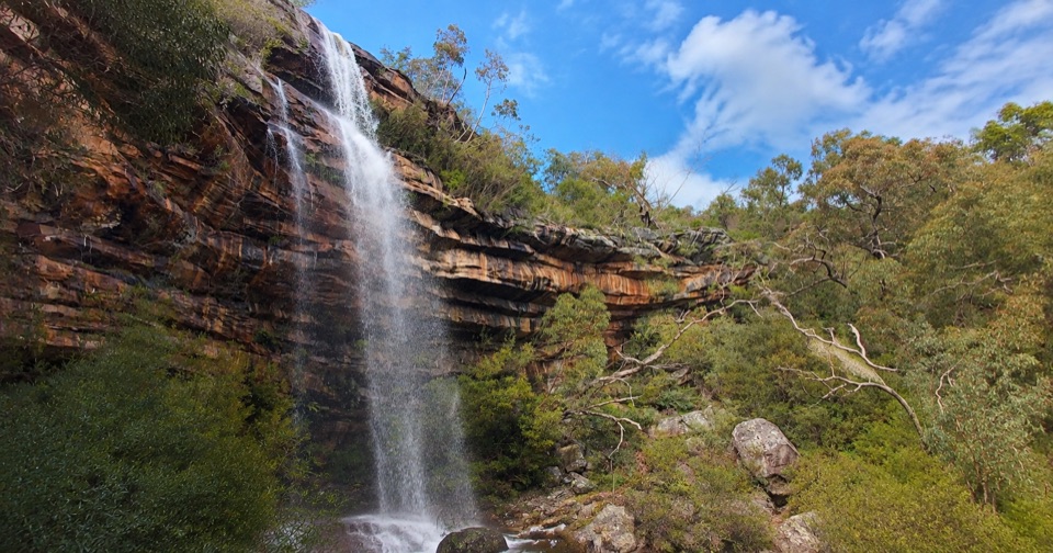 ModerateLower Waterfalls of Gar Walk4.2 km · 2 hr · 0.5 km awaySteep creekside climb to seasonal waterfalls and rocky sandstone lookouts
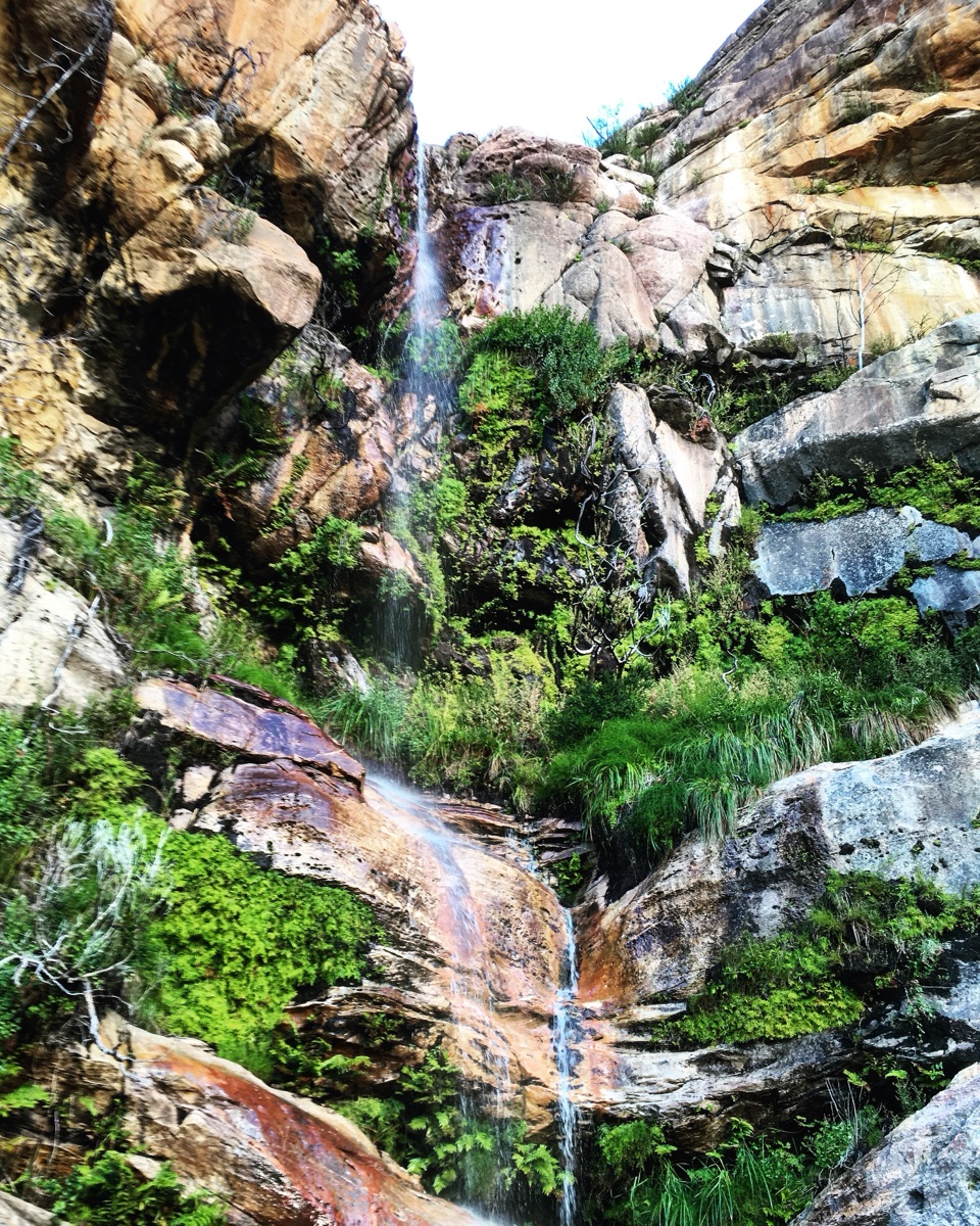 EasyBeehive Falls Walk2.9 km · 1.5 hr · 2.9 km awayCreekside fern gully walk to a seasonal waterfall and rock pools
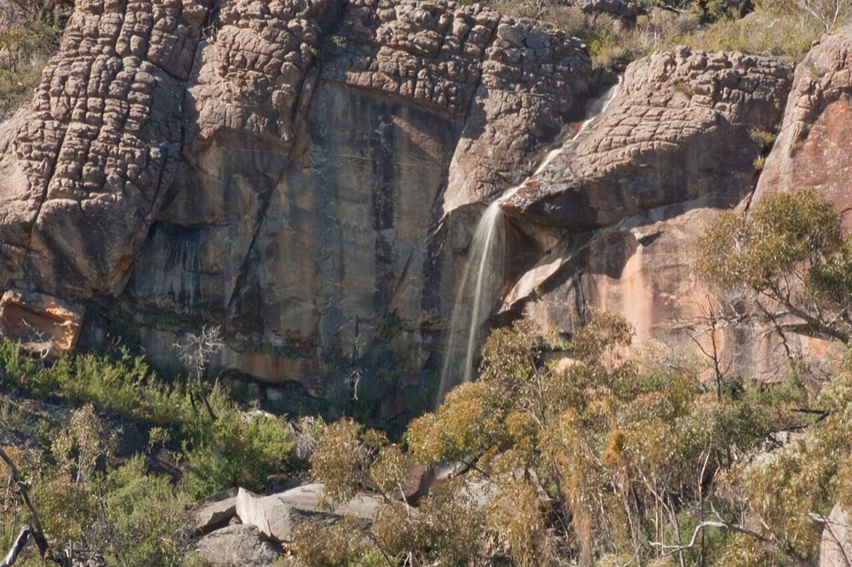 ChallengingBriggs Bluff Walk12.4 km · 5 hr · 2.9 km awayRocky scramble past Beehive Falls to broad summit outlook
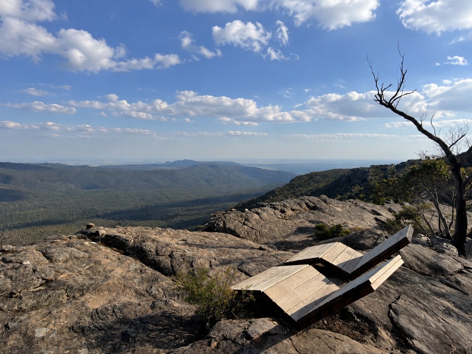 ChallengingMount Difficult Summit Walk8.2 km · 4 hr · 3.8 km awaySteep rocky out-and-back to the western range's highest 360-degree summit
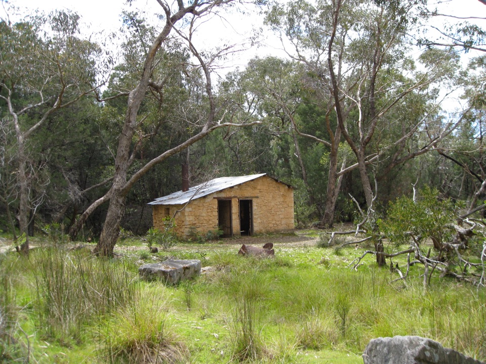 EasyHeatherlie Quarry Township Walk2.4 km · 1.3 hr · 7.6 km awayEasy loop through a sandstone quarry township, cottages and rail remnants
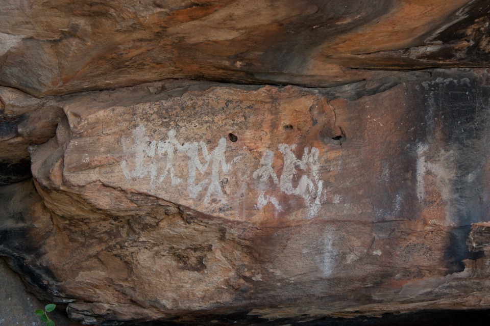 EasyNgamadjidj Shelter Walk0.8 km · 30 min · 7.7 km awayShort gravel loop to white clay rock art beneath a sandstone overhang
 ChallengingGrampians Peaks Trail164 km · 3.8 days · 11.3 km awayThirteen days of rocky ridgelines from Mount Zero to Dunkeld, one way
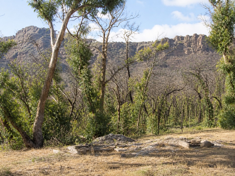 Campground · 0.5 km awayTroopers Creek CampgroundA gum-tree base beneath the Mt Difficult escarpment
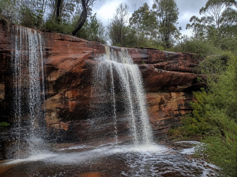 Sight · 0.7 km awayLower Waterfalls of GarA chain of seasonal cascades over red sandstone ledges
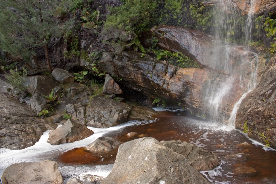 Sight · 2.1 km awayBeehive FallsA seasonal cascade framed by ferns, rock pools, and red sandstone
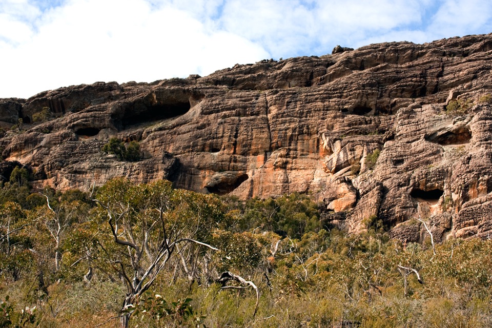 Sight · 2.4 km awayBriggs BluffLayered sandstone cliffs above the Wimmera plains
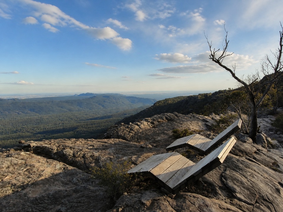 Sight · 3.1 km awayMount Difficult (Gar)Rugged summit slabs open onto 360-degree views across northern Gariwerd
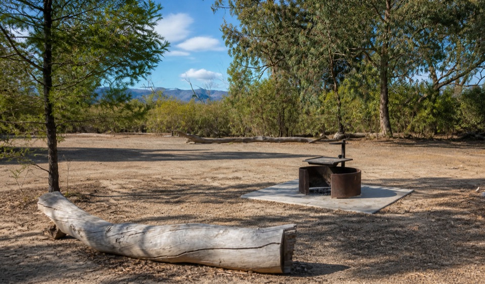 Campground · 6.4 km awayCoppermine CampgroundA tiny 4WD camp with broad northern Grampians views
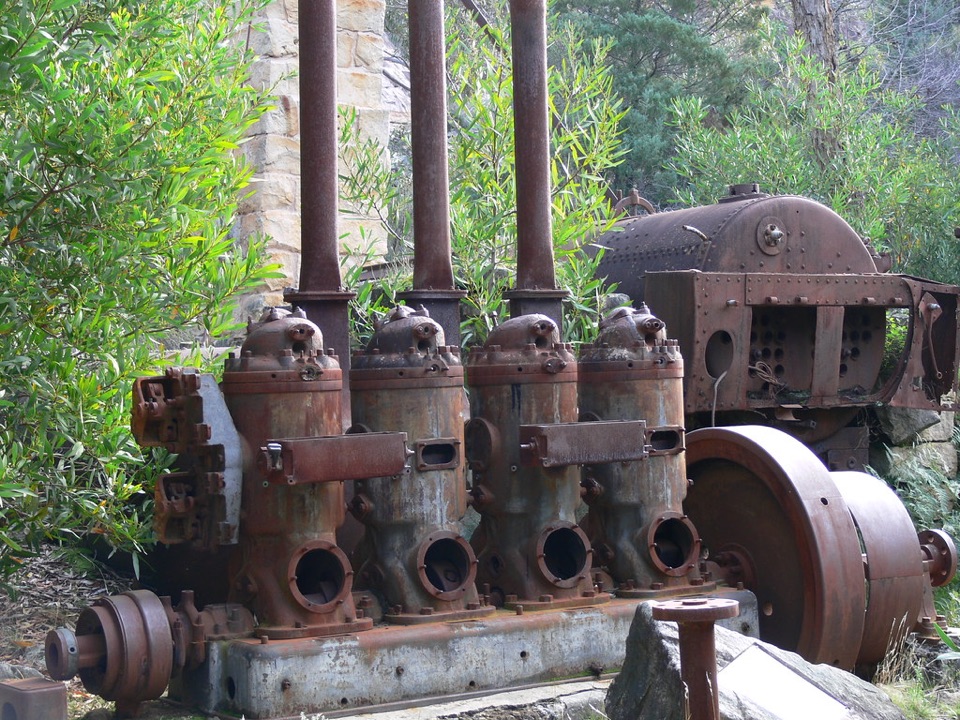 Sight · 7.2 km awayHeatherlie QuarryRusting machinery and sandstone cottages tell a forgotten quarry storySight · 7.5 km awayNgamadjidj ShelterGhostly white figures beneath a dark sandstone overhang
Parkwolf’s Grampians ranking
The audio tour guide for the drive, plus offline maps, trails, and wildlife heatmaps for when the signal drops.




