Parking
Car park off Mount Zero Road on Heatherlie Track, reached from Mount Zero Road via an unsealed road. The walk starts at the car park and loops through the quarry township.
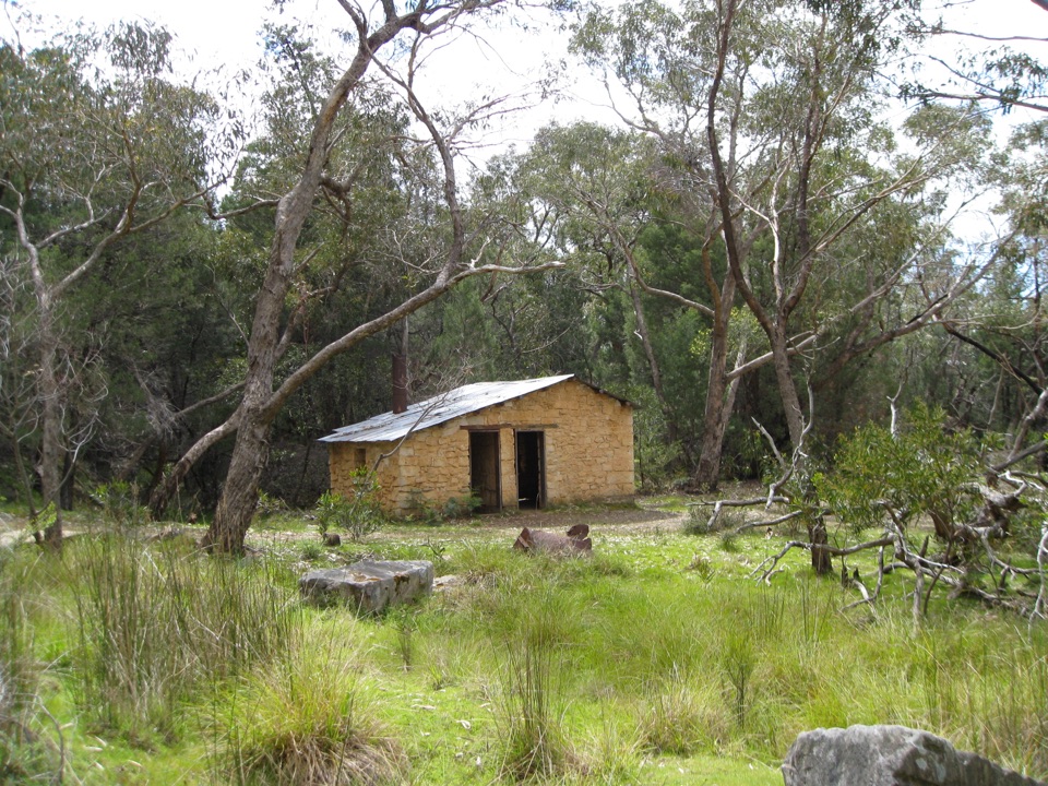
Grampians National Park, VIC
Easy loop through a sandstone quarry township, cottages and rail remnants
Overview
Large quantities of freestone sandstone were cut here from the late nineteenth century into the early twentieth. The stone went into buildings in Stawell and into major works including Melbourne's Parliament House. The township was surveyed in 1887, the railway opened in 1882 and closed in 1941, and quarrying continued on and off until the mid-1980s. What remains is a bushland site at the edge of the Mount Difficult Range, more industrial history than mountain scenery.
 Parkwolf’s verdictWhy It Matters
Map & elevation
Plan your hike

The highest, rockiest slopes around here are a summer buffet for grizzly bears.
Grampians Tour Guide
Parkwolf is a GPS audio tour guide for Grampians National Park. As you drive, it chimes in with what’s ahead: hidden gems, upcoming stops, history, geology, and wildlife, right through your car’s speakers.
Recorded for this trailhead
Heatherlie Quarry: Stone, Steam and Rails“Heatherlie Quarry's walking car park is coming up, and this is an underrated stop if you enjoy old machinery and the stories behind it. Give the steam plant and rail remnants some attention as well as the quarry face.”
Plays as you drive up to this trailhead in the Parkwolf Grampians Tour Guide.
More stories near here in the app
“Fantastic app with many points of information… It’s great to just turn on while you’re driving and it gives you an audio tour of the national Park. We love it!!!!”


Trail guide
The walk starts and finishes at the car park on Heatherlie Track and runs through the former quarry township in a continuous circuit. Along the way you pass stone workers cottages, old machinery, a powder magazine, the power plant site and rail and tram remnants, with information signs explaining what you are looking at. There are picnic tables at the site. Underfoot it is a mix of unsealed track and compacted path with some uneven ground, a short boardwalk and stone steps.
There are no panoramic lookouts on this walk and nothing dramatic in terms of terrain, so it appeals most if you enjoy ruins, machinery and reading the story of a place. Facilities are limited to the picnic tables and signage at the site. If you want a bigger walk in the same trip, pair it with one of the other northern-area routes rather than expecting a full day here.
Wildlife
 157 sightingsShort-beaked EchidnaMost seen around 6 PMSighting map
 37 sightingsPowerful OwlMost seen around 6 PMSighting map
 59 sightingsWedge-tailed EagleMost seen around 11 AMSighting map
 24 sightingsEastern Brown SnakeMost seen around 11 AMSighting map
 10 sightingsTiger SnakeMost seen around noonSighting map
 29 sightingsRed-bellied Black SnakeMost seen around 11 AMSighting map
Sighting maps show where each species has been reported across Grampians. Wildlife moves, so no sighting is guaranteed.
Keep exploring
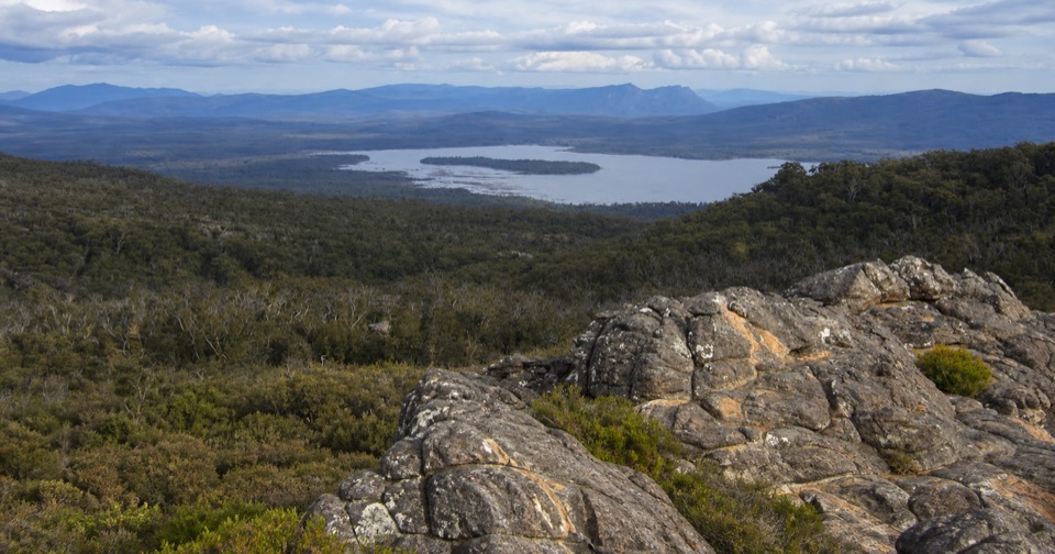 ChallengingLake Wartook Lookout to Halls Gap10.9 km · 3.5 hr · 6.4 km awayRidge-top sandstone and lake views, then a long forest descent to town
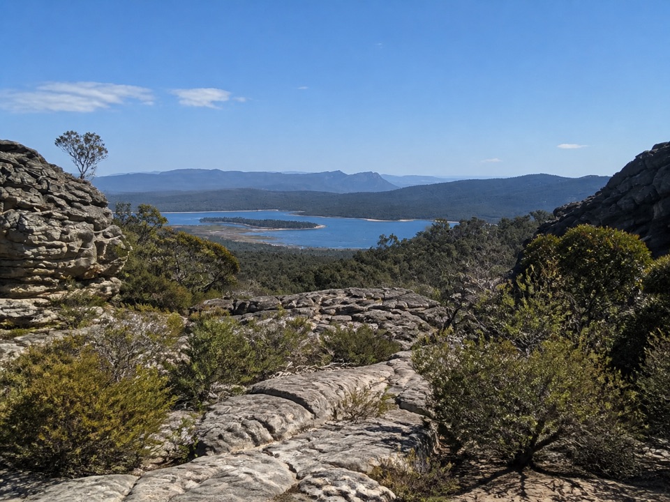 ModerateLake Wartook Lookout Walk1.1 km · 40 min · 6.4 km awayShort, steep rock climb to sweeping Lake Wartook and mountain views
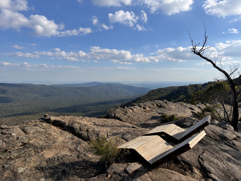 ChallengingMount Difficult Summit Walk8.2 km · 4 hr · 6.7 km awaySteep rocky out-and-back to the western range's highest 360-degree summit
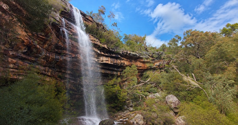 ModerateLower Waterfalls of Gar Walk4.2 km · 2 hr · 7.5 km awaySteep creekside climb to seasonal waterfalls and rocky sandstone lookouts
 ChallengingGar and Werdug 3-day Hike34 km · 17.5 hr · 7.6 km awayThree days of rocky ridgelines, clifftop camps and Wartook Valley viewsChallengingGar Overnight Hike15 km · 8 hr · 7.6 km awayFollow a creek to seasonal falls, then camp on a rocky escarpment
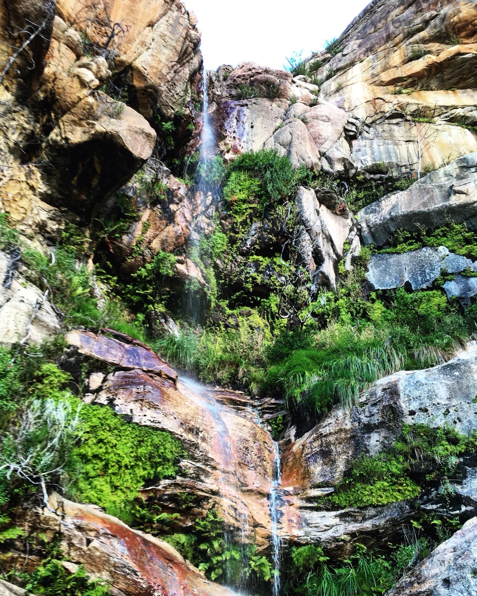 EasyBeehive Falls Walk2.9 km · 1.5 hr · 7.8 km awayCreekside fern gully walk to a seasonal waterfall and rock pools
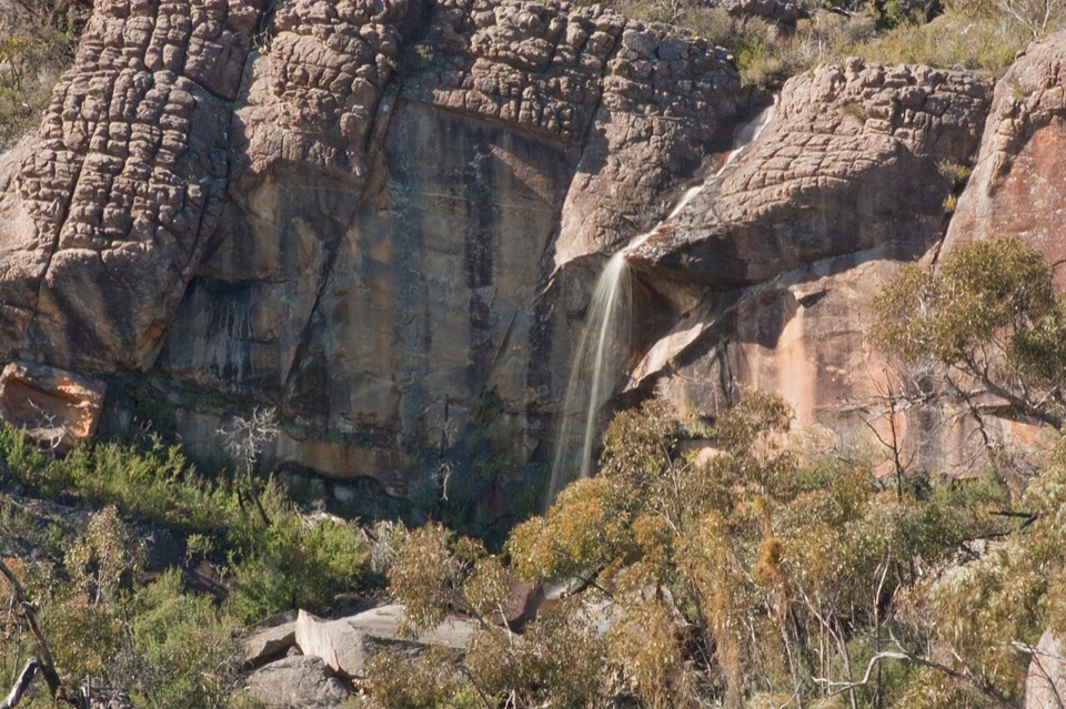 ChallengingBriggs Bluff Walk12.4 km · 5 hr · 7.9 km awayRocky scramble past Beehive Falls to broad summit outlook
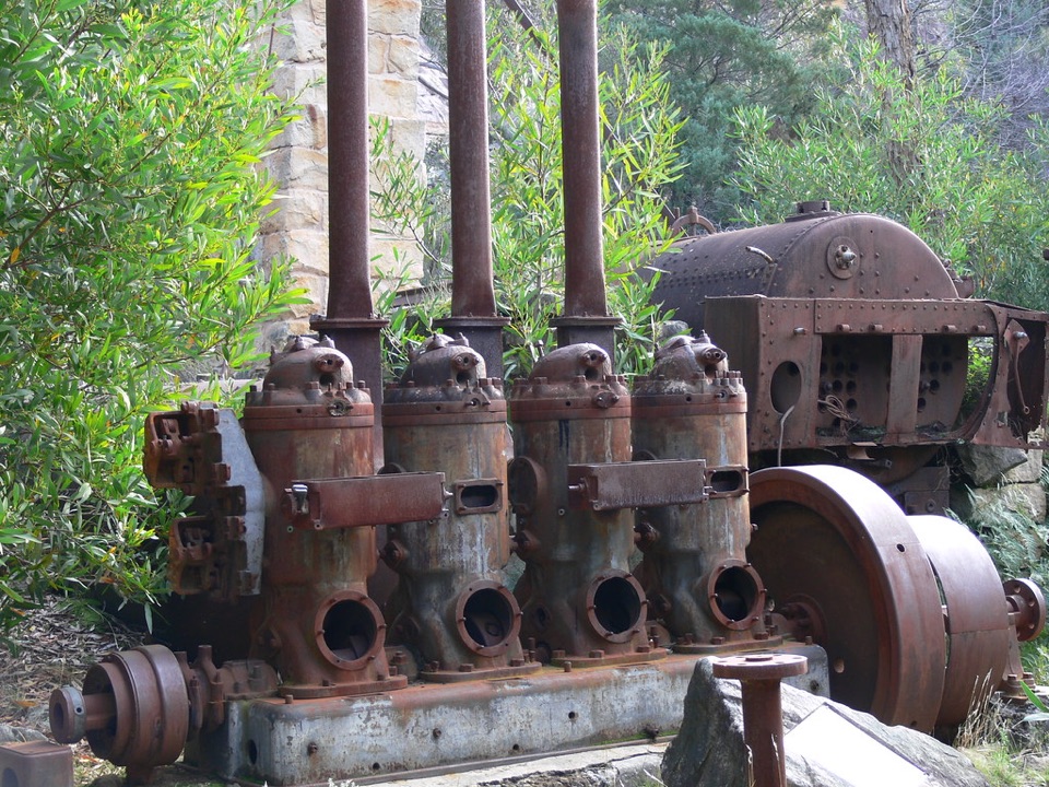 Sight · 0.5 km awayHeatherlie QuarryRusting machinery and sandstone cottages tell a forgotten quarry story
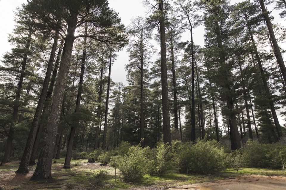 Campground · 4.1 km awayPlantation CampgroundA roomy pine-forest camp with easy access to the northern Grampians
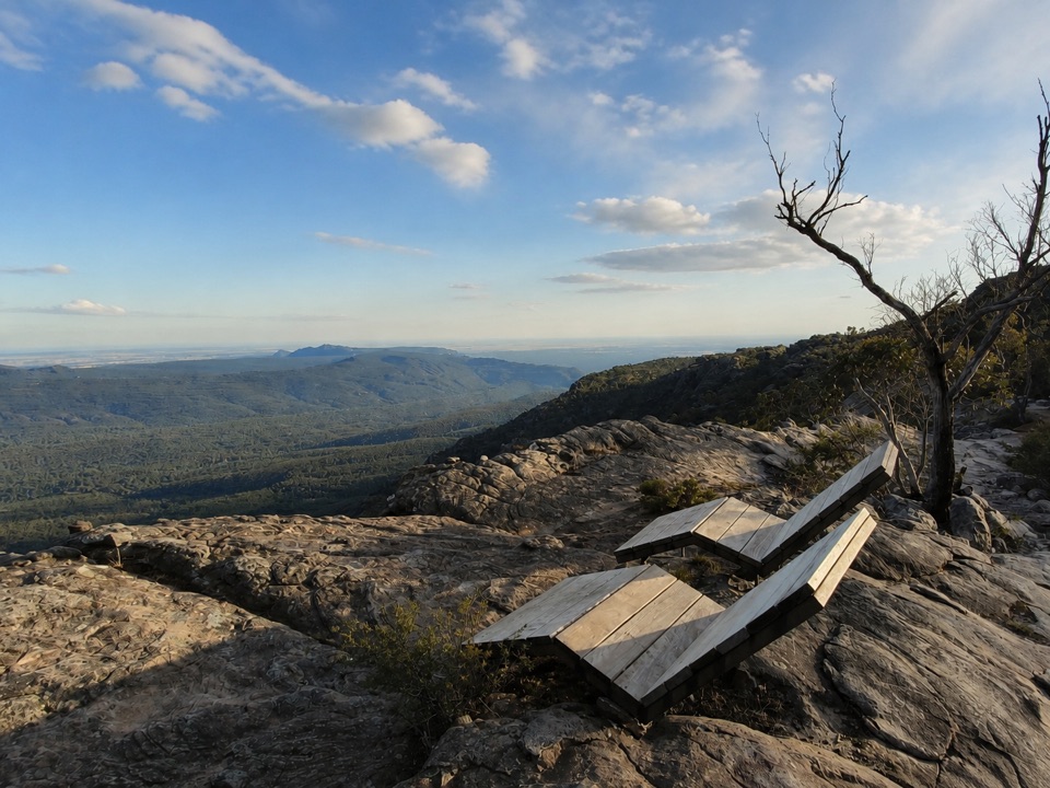 Sight · 5.5 km awayMount Difficult (Gar)Rugged summit slabs open onto 360-degree views across northern Gariwerd
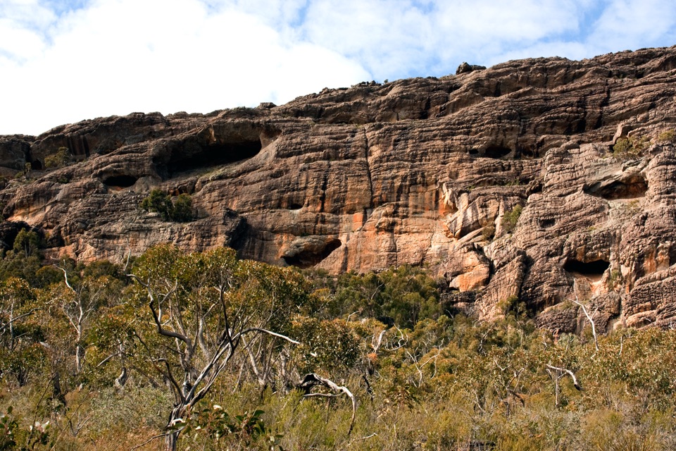 Sight · 6.2 km awayBriggs BluffLayered sandstone cliffs above the Wimmera plains
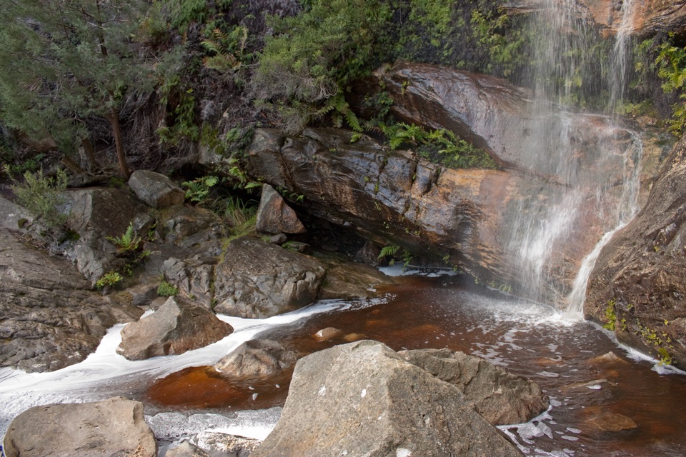 Sight · 7 km awayBeehive FallsA seasonal cascade framed by ferns, rock pools, and red sandstone
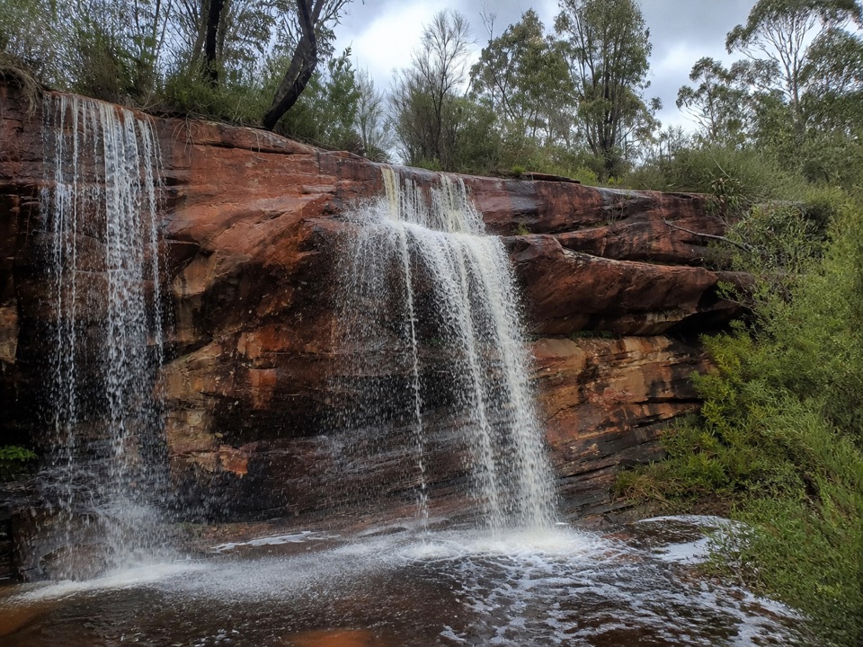 Sight · 7.1 km awayLower Waterfalls of GarA chain of seasonal cascades over red sandstone ledges
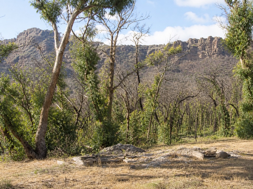 Campground · 7.5 km awayTroopers Creek CampgroundA gum-tree base beneath the Mt Difficult escarpment
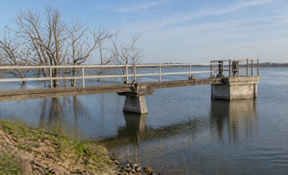 Sight · 9.5 km awayLake WartookA quiet reservoir with a dam, boat ramp, and mountain reflections
Parkwolf’s Grampians ranking
The audio tour guide for the drive, plus offline maps, trails, and wildlife heatmaps for when the signal drops.





