Parking
Start at Troopers Creek Campground on Roses Gap Road near Wartook. Reach it by 2WD on the gravel road and use the campground car park.
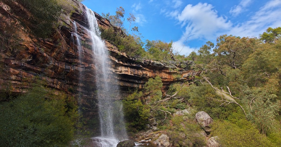
Grampians National Park, VIC
Steep creekside climb to seasonal waterfalls and rocky sandstone lookouts
Overview
Map & elevation
Plan your hike

The highest, rockiest slopes around here are a summer buffet for grizzly bears.
Grampians Tour Guide
Parkwolf is a GPS audio tour guide for Grampians National Park. As you drive, it chimes in with what’s ahead: hidden gems, upcoming stops, history, geology, and wildlife, right through your car’s speakers.
Recorded for this trailhead
Gar and Troopers Creek: Falls or Summit“You're approaching Gar Trailhead, near Troopers Creek Campground, where it's worth separating the lower waterfall walk from the much bigger climb to Mount Difficult.”
Plays as you drive up to this trailhead in the Parkwolf Grampians Tour Guide.
More stories near here in the app
“Fantastic app with many points of information… It’s great to just turn on while you’re driving and it gives you an audio tour of the national Park. We love it!!!!”


Trail guide
An out-and-back walk from Troopers Creek Campground, listed at 4.2 km return with a typical time of about 2 hours. The distance covers the complete there-and-back experience, so the turnaround point is roughly 2 km in at the base of the third waterfall.
From the campground the track starts about 50 m from the camping area and follows the creek, climbing steadily for around 1.8 km through eucalyptus woodland. The first small seasonal waterfall spills from a wave-shaped slab of rock, then the track steepens over rock steps beside the water before finishing at the base of the third waterfall, where rocky viewpoints look out over layered orange-brown sandstone ledges.
Official Grade 3 (Medium). Expect dirt and gravel path, rough trail sections, steep pitches, steep rock steps, creek crossings, slippery rock and exposed cliff edges near the falls and lookouts. Wear shoes with grip and take your time on the wet rock. This is not a boardwalk or an easy stroll.
The track that continues past the lower falls toward Gar (Mt Difficult) and Briggs Bluff is a harder Grade 4 route and is a separate, much longer outing.
Primary access is Troopers Creek Campground on Roses Gap Road near Wartook, reachable by 2WD on gravel road. There is a large car park, public toilets and picnic and barbecue facilities, plus camping at the campground.
Ordinary pets are not permitted in Victorian national parks. Assistance dog rules are handled separately.
Worth it if you want seasonal waterfalls and sandstone scenery with some effort attached. If you would rather have a paved, easier waterfall outing nearby, Broken Falls and Cranages Lookouts is the gentler pick. This one is rougher, steeper and more exposed, and its payoff depends on recent rain.
Wildlife
 157 sightingsShort-beaked EchidnaMost seen around 6 PMSighting map
 37 sightingsPowerful OwlMost seen around 6 PMSighting map
 59 sightingsWedge-tailed EagleMost seen around 11 AMSighting map
 24 sightingsEastern Brown SnakeMost seen around 11 AMSighting map
 10 sightingsTiger SnakeMost seen around noonSighting map
 29 sightingsRed-bellied Black SnakeMost seen around 11 AMSighting map
Sighting maps show where each species has been reported across Grampians. Wildlife moves, so no sighting is guaranteed.
Keep exploring
 ChallengingGar and Werdug 3-day Hike34 km · 17.5 hr · 0.5 km awayThree days of rocky ridgelines, clifftop camps and Wartook Valley viewsChallengingGar Overnight Hike15 km · 8 hr · 0.5 km awayFollow a creek to seasonal falls, then camp on a rocky escarpment
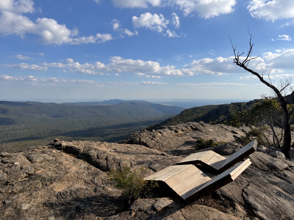 ChallengingMount Difficult Summit Walk8.2 km · 4 hr · 3.3 km awaySteep rocky out-and-back to the western range's highest 360-degree summit
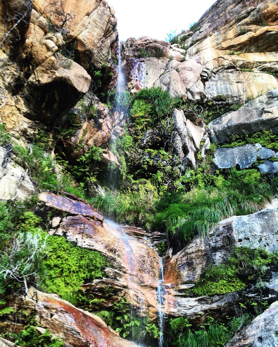 EasyBeehive Falls Walk2.9 km · 1.5 hr · 3.3 km awayCreekside fern gully walk to a seasonal waterfall and rock pools
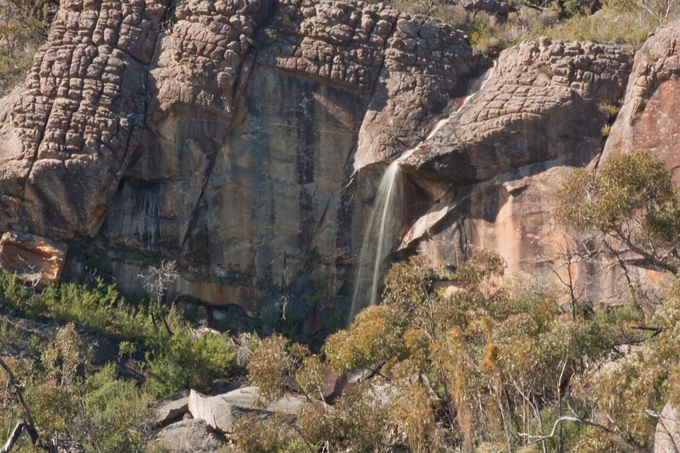 ChallengingBriggs Bluff Walk12.4 km · 5 hr · 3.3 km awayRocky scramble past Beehive Falls to broad summit outlook
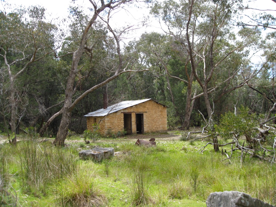 EasyHeatherlie Quarry Township Walk2.4 km · 1.3 hr · 7.5 km awayEasy loop through a sandstone quarry township, cottages and rail remnants
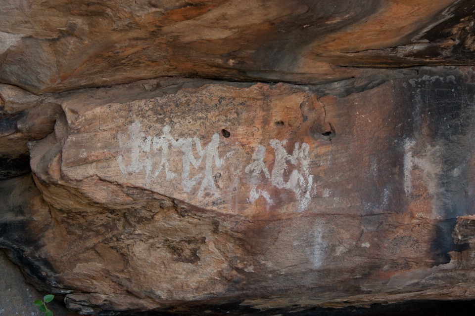 EasyNgamadjidj Shelter Walk0.8 km · 30 min · 8 km awayShort gravel loop to white clay rock art beneath a sandstone overhang
 ChallengingGrampians Peaks Trail164 km · 3.8 days · 11.7 km awayThirteen days of rocky ridgelines from Mount Zero to Dunkeld, one way
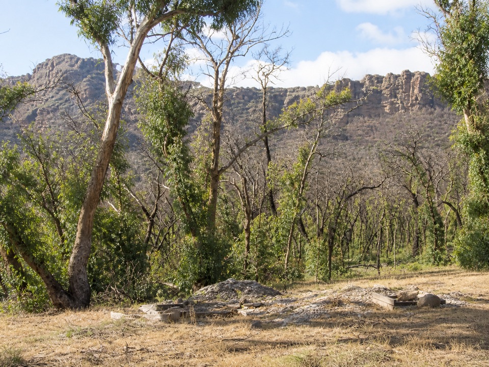 Campground · At the trailheadTroopers Creek CampgroundA gum-tree base beneath the Mt Difficult escarpment
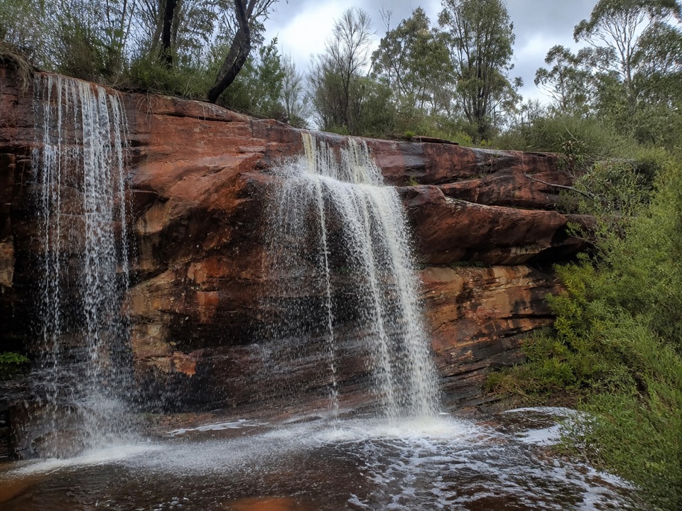 Sight · 0.4 km awayLower Waterfalls of GarA chain of seasonal cascades over red sandstone ledges
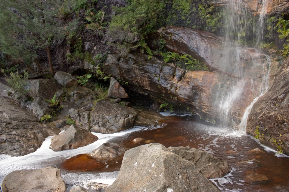 Sight · 2.4 km awayBeehive FallsA seasonal cascade framed by ferns, rock pools, and red sandstone
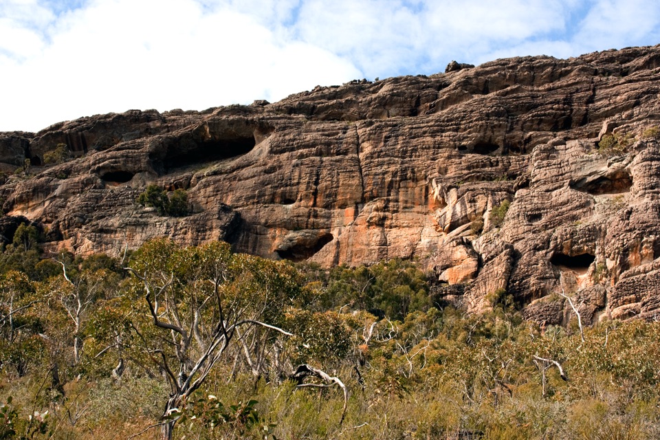 Sight · 2.7 km awayBriggs BluffLayered sandstone cliffs above the Wimmera plains
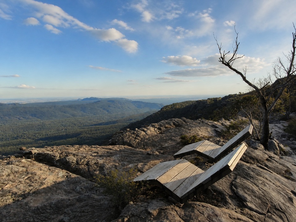 Sight · 2.7 km awayMount Difficult (Gar)Rugged summit slabs open onto 360-degree views across northern Gariwerd
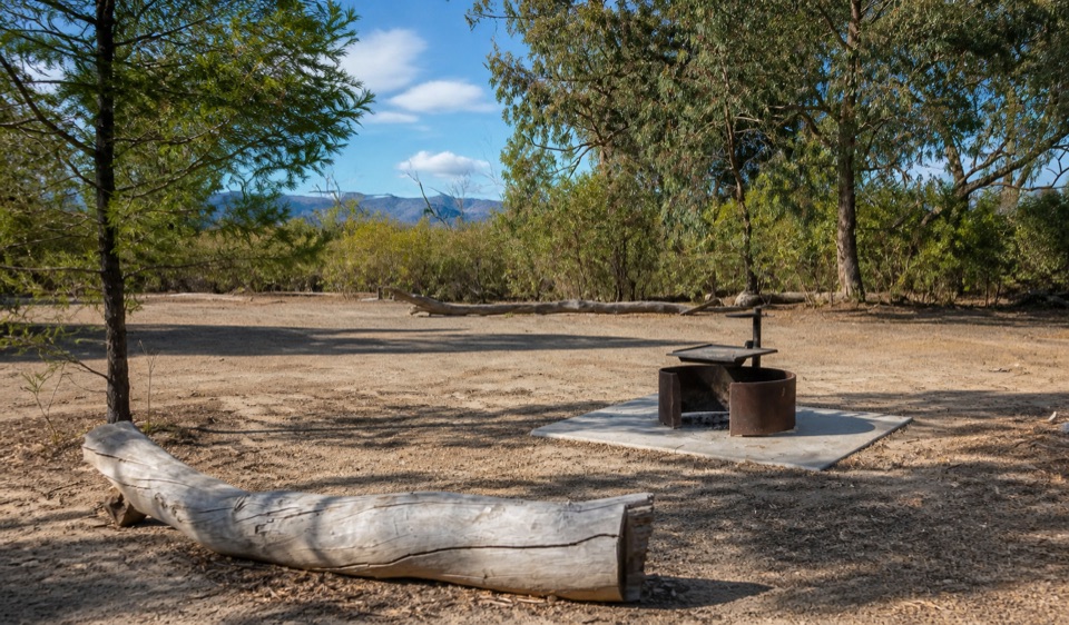 Campground · 6.8 km awayCoppermine CampgroundA tiny 4WD camp with broad northern Grampians views
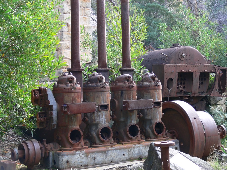 Sight · 7 km awayHeatherlie QuarryRusting machinery and sandstone cottages tell a forgotten quarry storySight · 7.9 km awayNgamadjidj ShelterGhostly white figures beneath a dark sandstone overhang
Parkwolf’s Grampians ranking

The audio tour guide for the drive, plus offline maps, trails, and wildlife heatmaps for when the signal drops.




