Overview
About Briggs Bluff Walk
An out-and-back walk of 12.4 km total return, starting and finishing at the named Beehive Falls Carpark on Roses Gap Road. The track follows the Beehive Falls route, then continues on the signed Briggs Bluff Walk to the Briggs Bluff summit viewpoint before retracing the same way back.
Why go
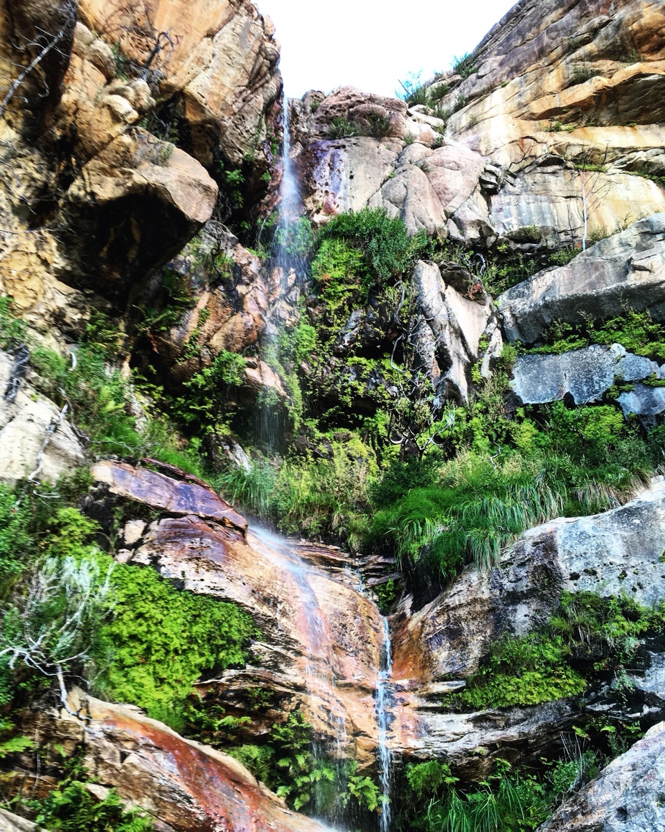
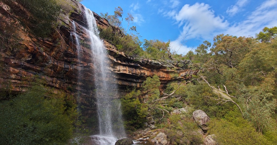
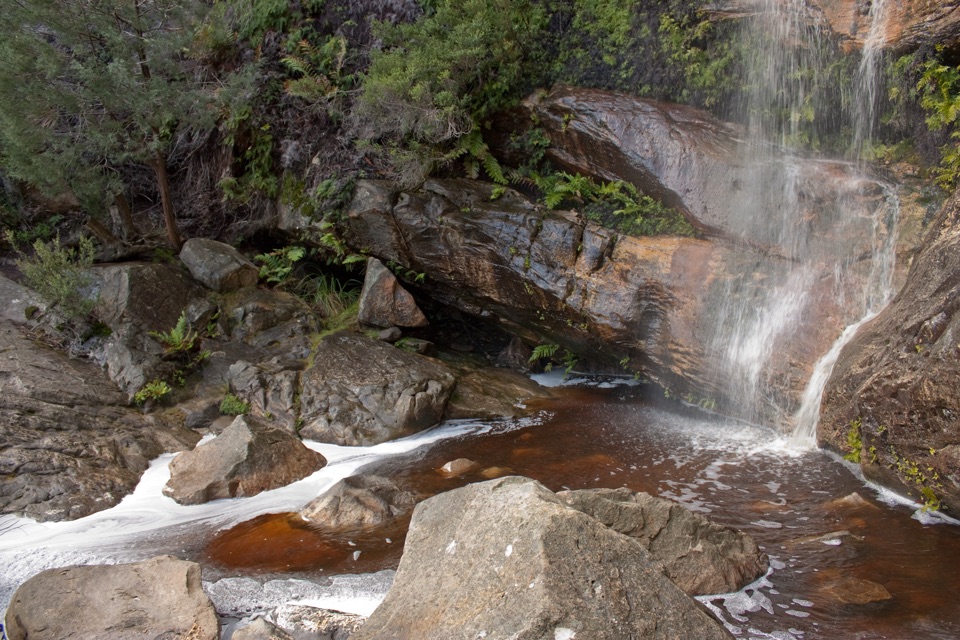
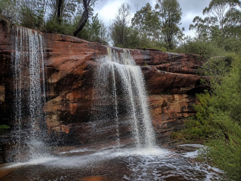
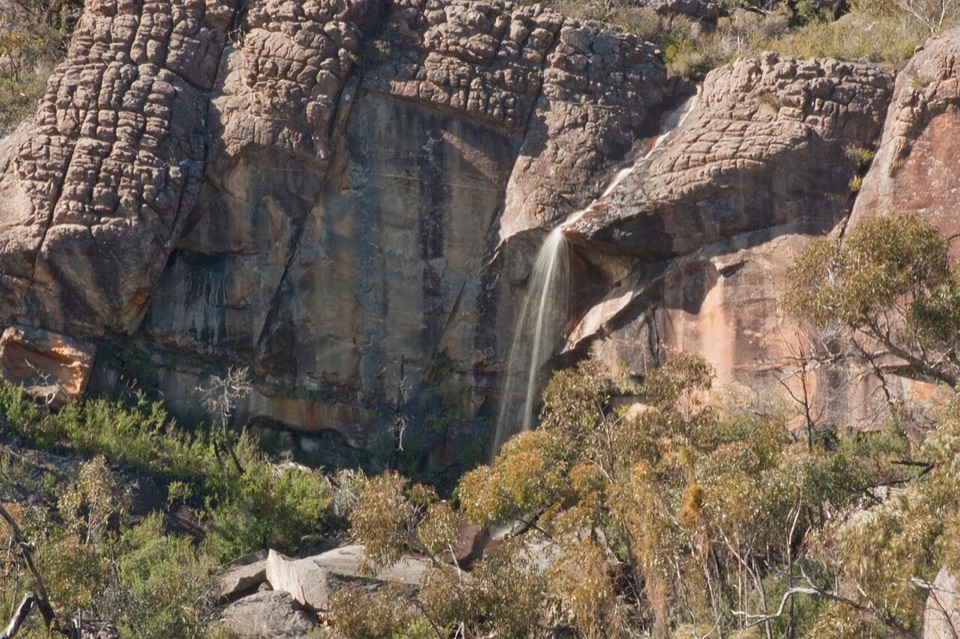
- Beehive Falls on the way
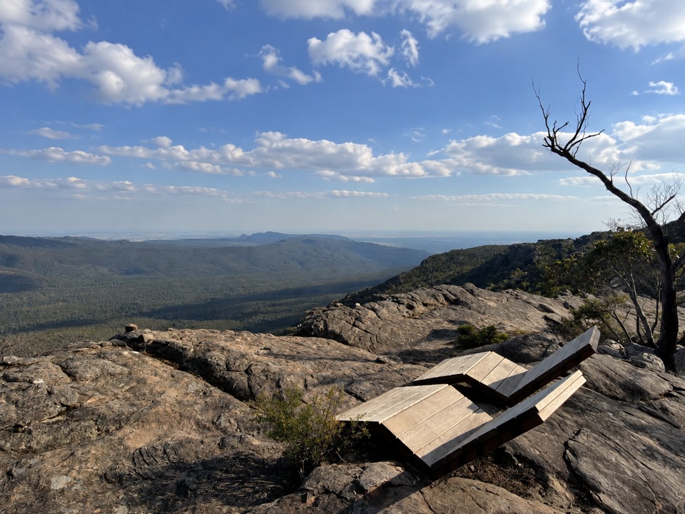
- Broad summit views
Heads up
- Steep rocky scrambling
- Unstable cliffs and slippery rock
Map & elevation
The route
Loading the Grampians map
Full mapElevation210–594 m
Plan your hike
Before you go
Best time to go
Safety
5 active Grampians alerts
- ClosureBushfire-damaged walks and picnic area remain closedThe Fortress, Red Gum, Billimina, Chimney Pots and Brownings Loop walks, plus Mafeking Picnic Area, remain closed because of track or site damage from the 2024/25 summer bushfires.Official details
- ClosureMackenzie Falls precinct closed during constructionThe Mackenzie Falls (Migunang wirab) Precinct has no vehicle or visitor access during major construction works expected to finish by the end of 2026.Official details

The highest, rockiest slopes around here are a summer buffet for grizzly bears.
Grampians Tour Guide
Your drive to Briggs Bluff Walk, narrated.
Parkwolf is a GPS audio tour guide for Grampians National Park. As you drive, it chimes in with what’s ahead: hidden gems, upcoming stops, history, geology, and wildlife, right through your car’s speakers.
Recorded for this trailhead
Beehive Falls: A Ferny Creek Walk0:00 / 0:53
“Up ahead is Beehive Falls Carpark, the start of a creekside walk to red sandstone and fern-fringed pools.”
Plays as you drive up to this trailhead in the Parkwolf Grampians Tour Guide.
More stories near here in the app
- A Flower with a Moving Arm
- A Platypus Pause at Zumsteins
- Rock Art Without a Long Hike
- Gar and Troopers Creek: Falls or Summit
- 233 audio storiesacross Grampians’s roads, triggered by GPS as you drive
- Wildlife heatmapsfor Short-beaked Echidna, Powerful Owl, Wedge-tailed Eagle, and 13 more
- Works offlinemaps, 81 trails, 62 places, and audio download before you lose signal
- CarPlay readysimple controls built for the drive
“Fantastic app with many points of information… It’s great to just turn on while you’re driving and it gives you an audio tour of the national Park. We love it!!!!”


Trail guide
Hiking Briggs Bluff Walk
Sequence and payoffBeehive Falls arrives first and makes a natural rest point, and walkers wanting a shorter day…
Beehive Falls arrives first and makes a natural rest point, and walkers wanting a shorter day can turn around there rather than continuing. Beyond the falls the route climbs toward Briggs Bluff, where the payoff is broad Grampians views from the summit area.
DifficultyListed as hard, around 5 hours, and graded Grade 4 hard beyond Beehive Falls.
Listed as hard, around 5 hours, and graded Grade 4 hard beyond Beehive Falls. Route-spaced elevations along the corridor run from about 210 m to 594 m, so expect sustained climbing on the way up and the same ground again on the return. No reliable cumulative ascent figure is available.
Footing and exposureThe upper section is a challenging rocky scramble.
The upper section is a challenging rocky scramble. Official warnings cover a steep track, unstable cliffs, uneven ground and slippery rocks, so keep to the marked route and stay well back from drop offs. Surfaces are a mix of compacted track and natural ground, which favours boots with solid grip and hands free for scrambling.
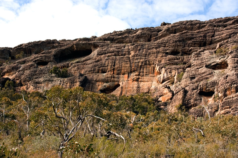
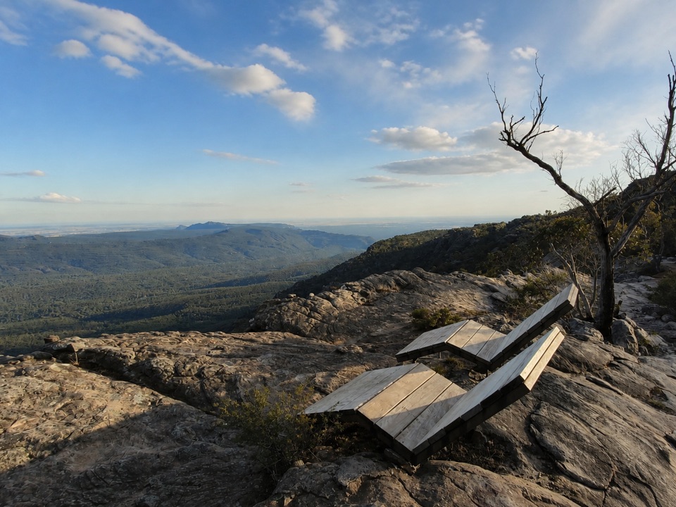
Views and photographyThe summit viewpoint gives the widest outlook of the walk, suited to wide framing of the…
The summit viewpoint gives the widest outlook of the walk, suited to wide framing of the surrounding ranges. Beehive Falls is the other main subject, and both are easier to photograph when you are not rushing the scramble sections.
Rules and accessOrdinary dogs are prohibited, with assistance dogs subject to the applicable requirements.
Ordinary dogs are prohibited, with assistance dogs subject to the applicable requirements. Camping and fires are not permitted, and firearms, horses, bicycles and generators are also prohibited. Park at the Beehive Falls Carpark and return by the same track.
Wildlife
Wildlife in Grampians
 157 sightingsShort-beaked EchidnaMost seen around 6 PMSighting map
 37 sightingsPowerful OwlMost seen around 6 PMSighting map
 59 sightingsWedge-tailed EagleMost seen around 11 AMSighting map
 24 sightingsEastern Brown SnakeMost seen around 11 AMSighting map
 10 sightingsTiger SnakeMost seen around noonSighting map
 29 sightingsRed-bellied Black SnakeMost seen around 11 AMSighting map
Sighting maps show where each species has been reported across Grampians. Wildlife moves, so no sighting is guaranteed.