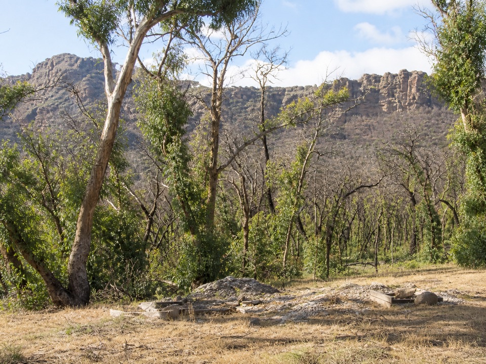
Troopers Creek Campground in Grampians National Park

Campground · Grampians National Park

Troopers Creek Campground

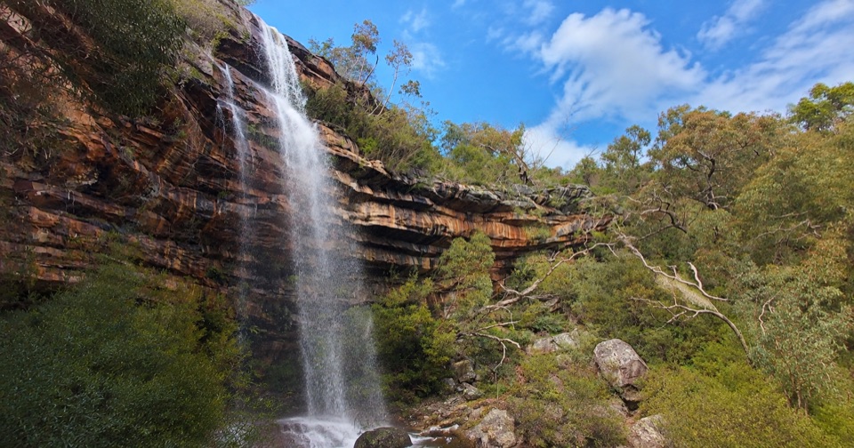
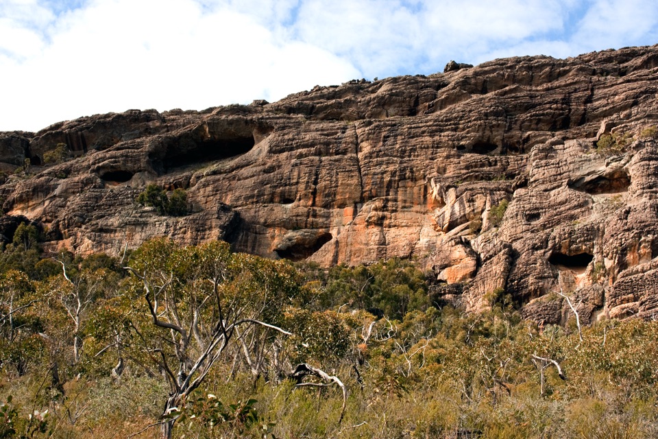
A gum-tree base beneath the Mt Difficult escarpment

Type
Campground
Nearest trail
Right here
Audio stories
5 nearby
  • Restrooms
  • Picnic tables

Hear the audio tour

Gar and Troopers Creek: Falls or Summit

Overview

About Troopers Creek Campground

Why stop

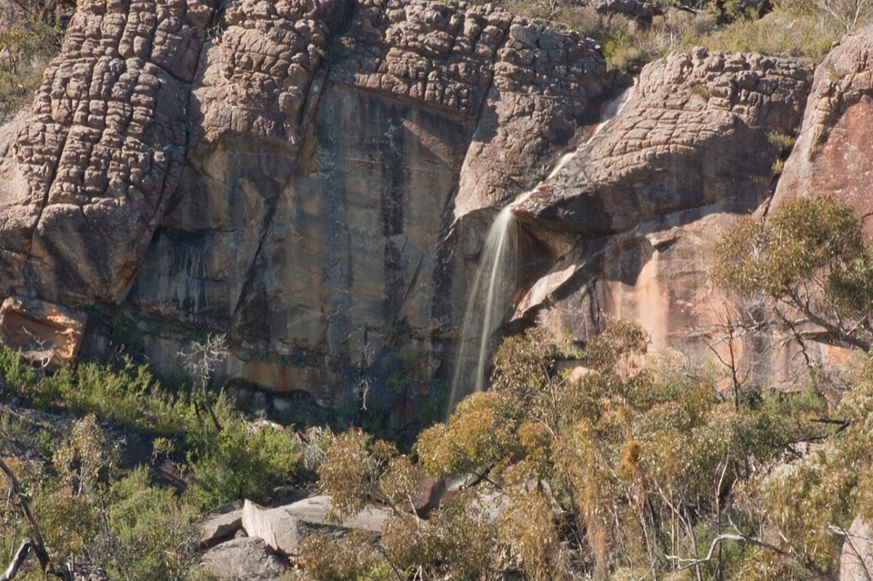
  • Mt Difficult escarpment glows in late afternoon
  • Strong base for Beehive Falls, Briggs Bluff, and Gar walks

Heads up

  • Basic bush-camping setup keeps the experience firmly self-sufficient

Map

Where it is

Loading the Grampians map
Full map
CampgroundTroopers Creek Campground-36.98667, 142.43059
Keep this map with you offline in the Parkwolf app

Plan your stop

Before you go

Best time to go

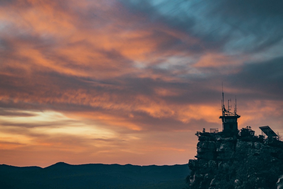
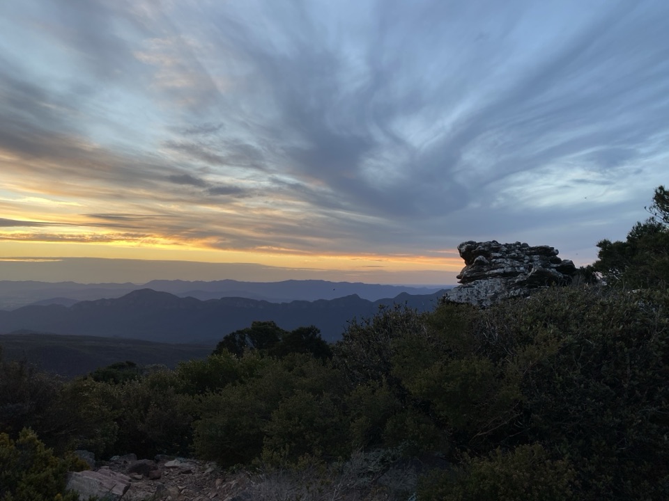
Late afternoon is the best time for photographs, when the setting sun warms the rock wall above the campground. Arriving with daylight to spare also gives you time to choose a site and set up before dark. The open clearing and rocky escarpment are especially rewarding in clear light, while softer overcast conditions bring out detail in the trees and stone.


5 active Grampians alerts

  • ClosureBushfire-damaged walks and picnic area remain closedThe Fortress, Red Gum, Billimina, Chimney Pots and Brownings Loop walks, plus Mafeking Picnic Area, remain closed because of track or site damage from the 2024/25 summer bushfires.Official details
  • ClosureMackenzie Falls precinct closed during constructionThe Mackenzie Falls (Migunang wirab) Precinct has no vehicle or visitor access during major construction works expected to finish by the end of 2026.Official details
See all 5 alerts
A park ranger sits on a dash-mounted phone, talking, as Parkwolf’s Tour Guide plays “Army Cutworm Moths: A Grizzly Bear Buffet” on Grand Loop Road below Dunraven Pass in Yellowstone
Parkwolf Tour GuideThe highest, rockiest slopes around here are a summer buffet for grizzly bears.

Grampians Tour Guide

Your drive to Troopers Creek Campground, narrated.

Parkwolf is a GPS audio tour guide for Grampians National Park. As you drive, it chimes in with what’s ahead: hidden gems, upcoming stops, history, geology, and wildlife, right through your car’s speakers.

Recorded for this place

Gar and Troopers Creek: Falls or Summit
0:00 / 1:04
“You're approaching Gar Trailhead, near Troopers Creek Campground, where it's worth separating the lower waterfall walk from the much bigger climb to Mount Difficult.”

Plays as you drive up to Troopers Creek Campground in the Parkwolf Grampians Tour Guide.

More stories near here in the app

  • Gariwerd and the Grampians
  • Why It's Called Troopers Creek
  • A Koala's Double Grip
  • The Bird That Works Downward
  • 233 audio storiesacross Grampians’s roads, triggered by GPS as you drive
  • Wildlife heatmapsfor Short-beaked Echidna, Powerful Owl, Wedge-tailed Eagle, and 13 more
  • Works offlinemaps, 81 trails, 62 places, and audio download before you lose signal
  • CarPlay readysimple controls built for the drive
★★★★★
“Fantastic app with many points of information… It’s great to just turn on while you’re driving and it gives you an audio tour of the national Park. We love it!!!!”
JMJamesApp Store review
Download Parkwolf on the App StoreGet Parkwolf on Google Play

4.7 from 8,600+ ratings

Guide

More about Troopers Creek Campground

Why stay hereTroopers Creek is a useful base in the northern Grampians, where tall eucalypts and heathy…

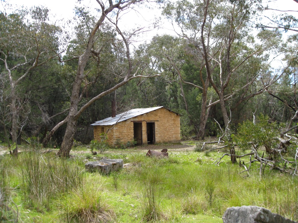
Troopers Creek is a useful base in the northern Grampians, where tall eucalypts and heathy shrubland open onto the Mt Difficult escarpment. The campground's appeal is the setting: in late afternoon, the opposite rock wall catches warm light, and woodland birds move through the trees. This is a place to settle into, not a polished resort or a standalone lookout.

Camp setupExpect straightforward tent and vehicle-based camping, including space for larger hiking groups.

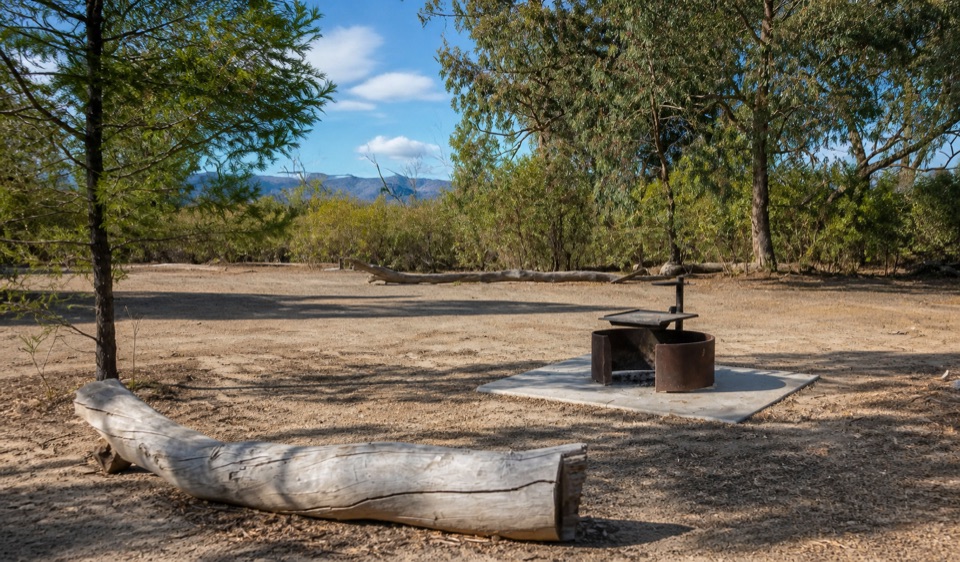
Expect straightforward tent and vehicle-based camping, including space for larger hiking groups. Shared fireplaces with BBQ hotplates and picnic tables make it easy to cook and eat outside. The toilets are pit facilities, so plan for basic bush-camping comforts rather than running-water amenities. Two large group camping areas are listed for groups of up to 16 people.

Reserve ahead: sites must be booked online in advance. Bring your own firewood because collecting it in the national park is prohibited. Pack sturdy shoes, a warm layer for evenings, and everything you need for a self-sufficient stay.

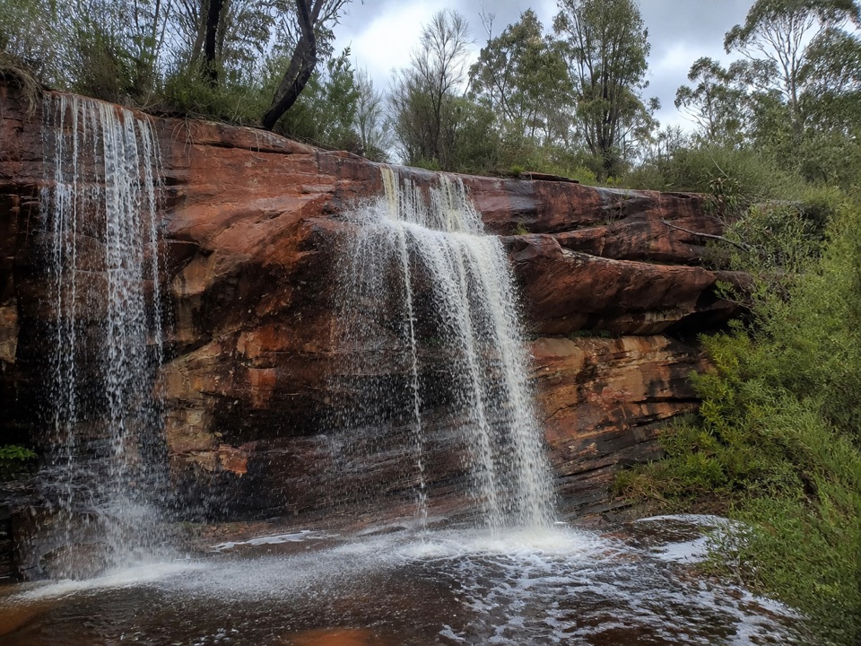
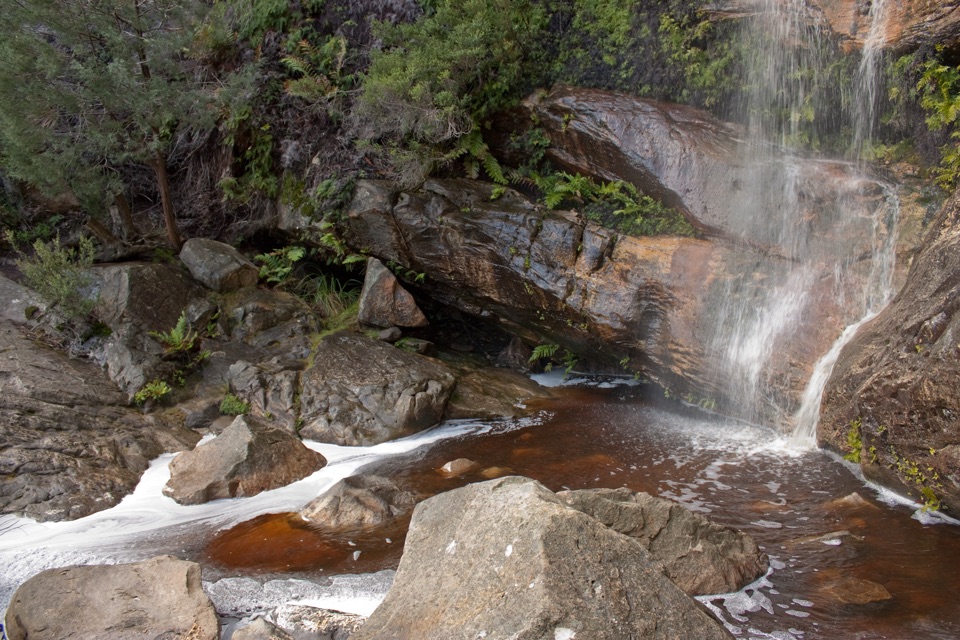
Walks from the campgroundTroopers Creek is close to the Beehive Falls trailhead, with routes toward Beehive Falls,…

Troopers Creek is close to the Beehive Falls trailhead, with routes toward Beehive Falls, Briggs Bluff, and Gar, also known as Mount Difficult. The trailhead for section two of the Grampians Peaks Trail is next to the campground, so this is a convenient overnight base for longer walking plans as well as shorter outings.

The campground itself is a quiet starting point rather than a destination with a long list of activities. Set up camp, then use the surrounding tracks and escarpment as the main event. Keep wildlife wild and give woodland birds plenty of space around camp.

Wildlife

Wildlife in Grampians

All Grampians wildlife maps

Sighting maps show where each species has been reported across Grampians. Wildlife moves, so no sighting is guaranteed.

Keep exploring

Near Troopers Creek Campground

See it all on the map

Trails nearby

More stops nearby

Parkwolf’s Grampians ranking

Top sights in Grampians

All 62 places
  1. 1MacKenzie Falls (Migunang wirab)Sight
  2. 2Pinnacle LookoutSight
  3. 3Boroka LookoutSight
  4. 4Reeds LookoutSight
  5. 5The BalconiesSight
  6. 6Mount William (Duwul)Sight

Take Parkwolf to Grampians.

The audio tour guide for the drive, plus offline maps, trails, and wildlife heatmaps for when the signal drops.

4.7 from 8,600+ ratings

Download Parkwolf on the App StoreGet Parkwolf on Google Play