Mount Zero (Mura Mura) in Grampians National Park

Sight · Grampians National Park

Mount Zero (Mura Mura)

A rocky summit walk with Wimmera Plains views

Photo: Wikimedia Commons
Type
Sight
Nearest trail
0.9 km
Audio stories
6 nearby
  • Trailhead
  • Parking
  • Restrooms

Hear the audio tour

Mount Zero and Stapylton: Pick Your Climb

Overview

About Mount Zero (Mura Mura)

Why stop

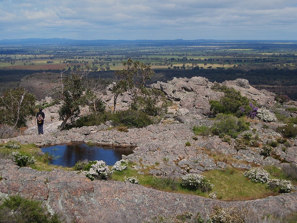
  • Broad Wimmera Plain and Mount Stapylton views

Heads up

  • Steep, uneven rock near the summit
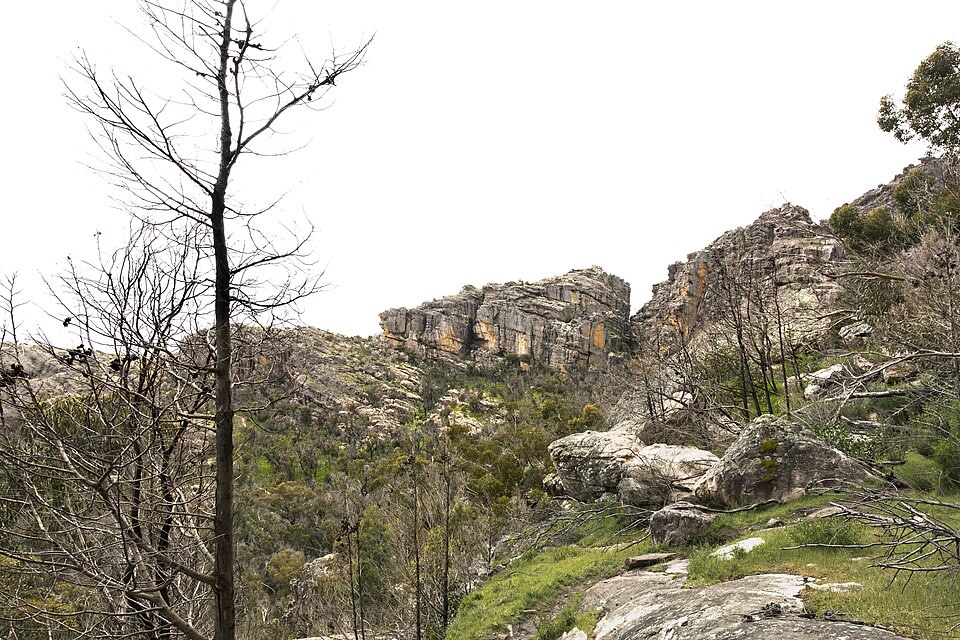
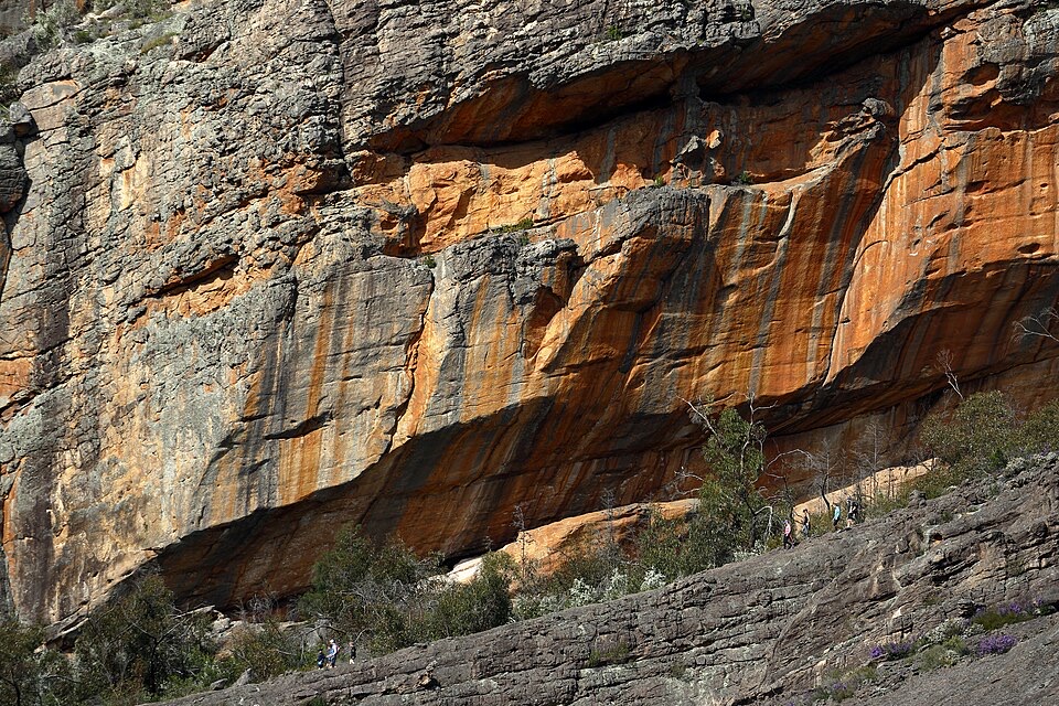
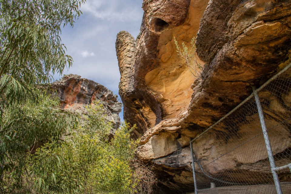
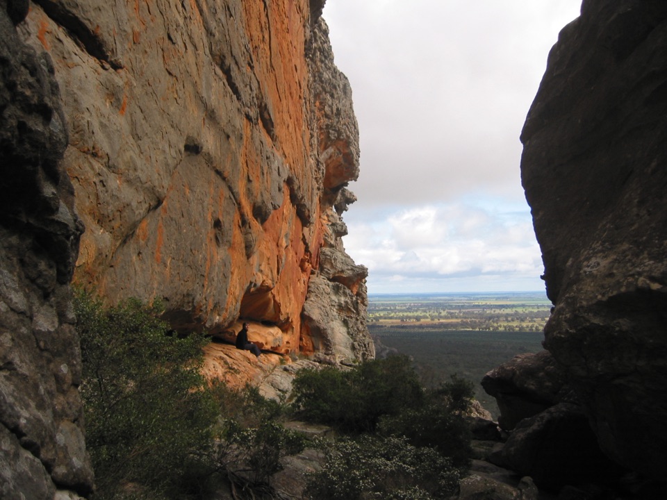
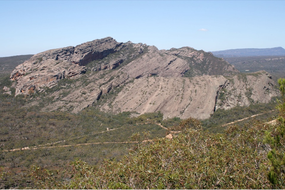
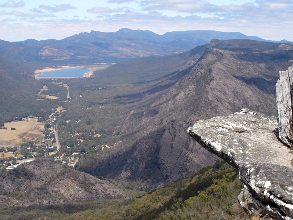
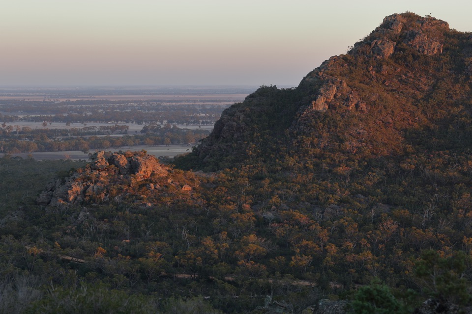
Mount Zero is the northernmost peak in the Grampians and a compact way to get onto the range's rocky skyline. The summit looks across to Mount Stapylton and out over the broad Wimmera Plain, with a very different feel from the busier central-Grampians lookouts. The peak is also known as Mura Mura.
Parkwolf’s verdictWhy stop

Map

Where it is

Loading the Grampians map
Full map
SightMount Zero (Mura Mura)-36.88532, 142.36871
Keep this map with you offline in the Parkwolf app

Plan your stop

Before you go

Best time to go

Early spring is the standout season for wildflowers and native orchids. For gentler light on the rock and the Wimmera landscape, aim for early morning or late afternoon. After rain, allow extra care on the rocky sections because slippery surfaces are a known hazard.


5 active Grampians alerts

  • ClosureBushfire-damaged walks and picnic area remain closedThe Fortress, Red Gum, Billimina, Chimney Pots and Brownings Loop walks, plus Mafeking Picnic Area, remain closed because of track or site damage from the 2024/25 summer bushfires.Official details
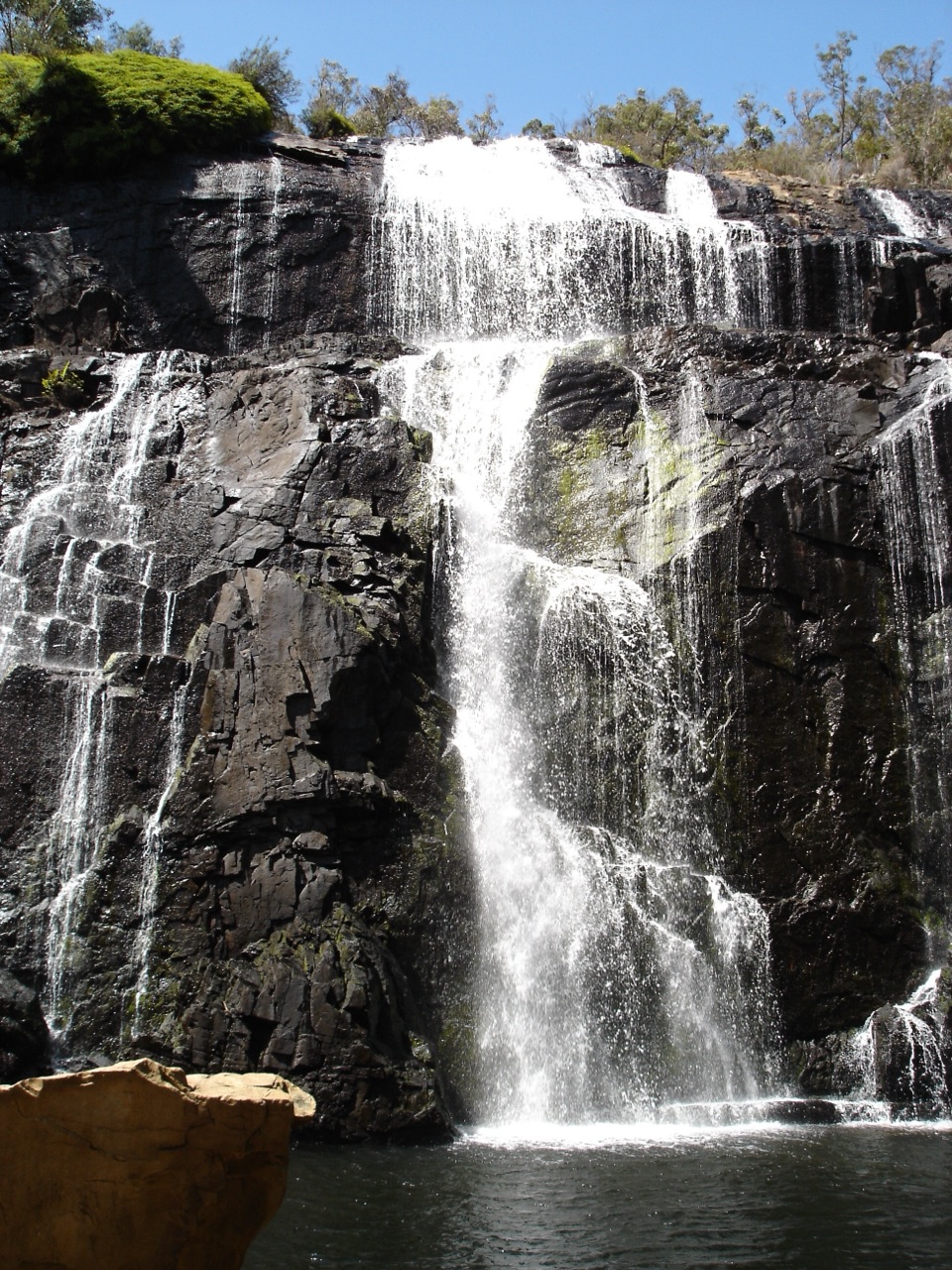
  • ClosureMackenzie Falls precinct closed during constructionThe Mackenzie Falls (Migunang wirab) Precinct has no vehicle or visitor access during major construction works expected to finish by the end of 2026.Official details
See all 5 alerts
A park ranger sits on a dash-mounted phone, talking, as Parkwolf’s Tour Guide plays “Army Cutworm Moths: A Grizzly Bear Buffet” on Grand Loop Road below Dunraven Pass in Yellowstone
Parkwolf Tour GuideThe highest, rockiest slopes around here are a summer buffet for grizzly bears.

Grampians Tour Guide

Your drive to Mount Zero (Mura Mura), narrated.

Parkwolf is a GPS audio tour guide for Grampians National Park. As you drive, it chimes in with what’s ahead: hidden gems, upcoming stops, history, geology, and wildlife, right through your car’s speakers.

Recorded for this place

Mount Zero and Stapylton: Pick Your Climb
0:00 / 1:04
“Up ahead is the Mount Zero Picnic Area, the starting point for Mount Stapylton and Mount Zero, with a shorter option that's well worth knowing about.”

Plays as you drive up to Mount Zero (Mura Mura) in the Parkwolf Grampians Tour Guide.

More stories near here in the app

  • The View That Changed the Route
  • Hollow Mountain and Gulgurn Manja
  • The Trail Starts at Mount Zero
  • The Bird That Plants Mistletoe
  • 233 audio storiesacross Grampians’s roads, triggered by GPS as you drive
  • Wildlife heatmapsfor Short-beaked Echidna, Powerful Owl, Wedge-tailed Eagle, and 13 more
  • Works offlinemaps, 81 trails, 62 places, and audio download before you lose signal
  • CarPlay readysimple controls built for the drive
★★★★★
“Fantastic app with many points of information… It’s great to just turn on while you’re driving and it gives you an audio tour of the national Park. We love it!!!!”
JMJamesApp Store review
Download Parkwolf on the App StoreGet Parkwolf on Google Play

4.7 from 8,600+ ratings

Guide

More about Mount Zero (Mura Mura)

The walkStart at the Mount Zero Picnic Area, cross the Halls Gap–Mount Zero Road, and follow the marked…

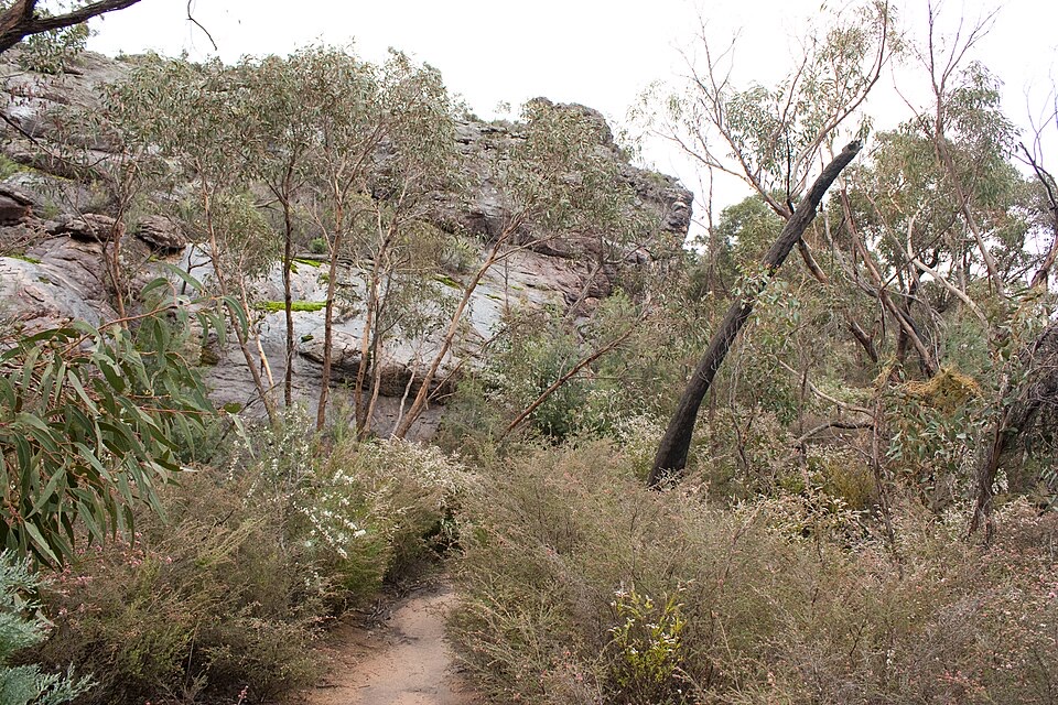
Start at the Mount Zero Picnic Area, cross the Halls Gap–Mount Zero Road, and follow the marked track up the rocky hillside. It is 2.8 km return and usually takes 1 to 1½ hours. The grade is medium: the climb gets steeper and rougher toward the top, with uneven rock steps and a handrail near the summit.

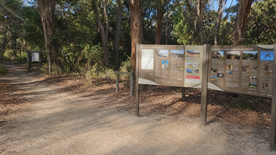
The picnic area is also the access point for Mount Stapylton, so check the sign and markers before setting out. This is the short Mount Zero climb, not the longer Mount Stapylton route.

Practical detailsThe visitor access point has a car park and a public toilet at the picnic area; no…
  • The visitor access point has a car park and a public toilet at the picnic area; no running-water or potable-water facility is confirmed here, so bring your own drinking water.
  • Wear shoes with good grip and carry water. The final climb is uneven and exposed to the weather.
  • Dogs, camping, fires, bicycles, and horses are not permitted on the walk. Stay on the marked route around unstable cliffs and falling-limb hazards.

Wildlife

Wildlife in Grampians

All Grampians wildlife maps

Sighting maps show where each species has been reported across Grampians. Wildlife moves, so no sighting is guaranteed.

Keep exploring

Near Mount Zero (Mura Mura)

See it all on the map

Trails nearby

More stops nearby

Parkwolf’s Grampians ranking

Top sights in Grampians

All 62 places
  1. 1MacKenzie Falls (Migunang wirab)Sight
  2. 2Pinnacle LookoutSight
  3. 3Boroka LookoutSight
  4. 4Reeds LookoutSight
  5. 5The BalconiesSight
  6. 6Mount William (Duwul)Sight

Take Parkwolf to Grampians.

The audio tour guide for the drive, plus offline maps, trails, and wildlife heatmaps for when the signal drops.

4.7 from 8,600+ ratings

Download Parkwolf on the App StoreGet Parkwolf on Google Play