Coppermine Campground in Grampians National Park

Campground · Grampians National Park

Coppermine Campground

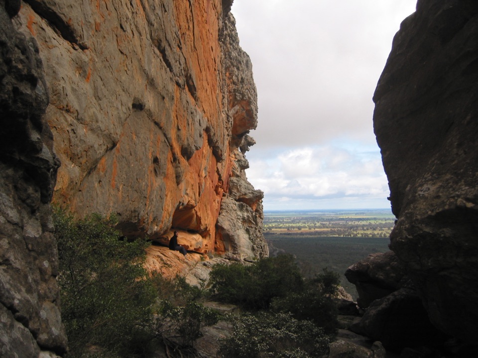
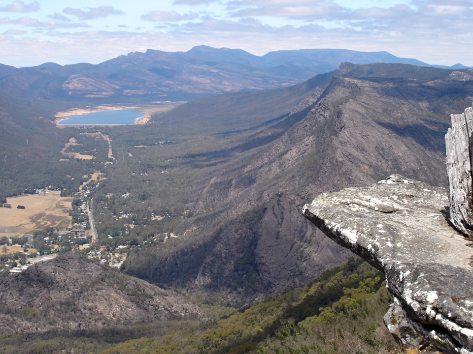
A tiny 4WD camp with broad northern Grampians views

Type
Campground
Nearest trail
3.3 km
Audio stories
7 nearby
  • Restrooms

Hear the audio tour

The Birds with a Mud Bowl

Overview

About Coppermine Campground

Why stop

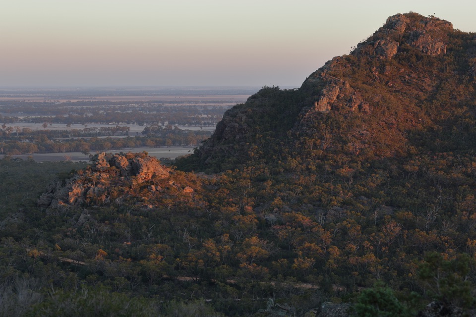
  • Peaceful, spacious sites with broad views across the plains

Heads up

  • Rough 4WD access is part of the commitment

Map

Where it is

Loading the Grampians map
Full map
CampgroundCoppermine Campground-36.92614, 142.42041
Keep this map with you offline in the Parkwolf app

Plan your stop

Before you go

Best time to go

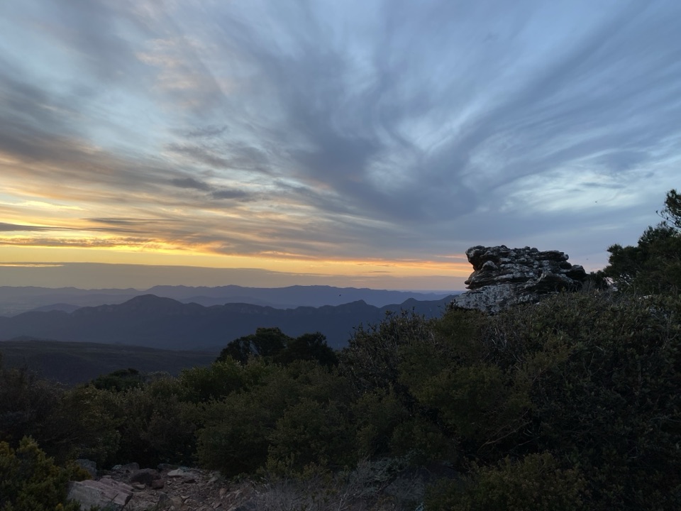
Choose a clear, settled spell if you want the views and an easier drive. Late afternoon is the nicest light for the surrounding ridge, while early morning is quieter and often gives the cleanest air. Allow time to set up before dark, especially if you are unfamiliar with 4WD tracks. The small number of sites keeps the atmosphere peaceful, but it also means there is little flexibility if you arrive without a booking or with a large setup.


Getting there

Plan on a capable 4WD. Coppermine Track is rough in places, with uneven ground, small gullies, and rocky sections. Reports differ on how difficult it feels, but they agree that ordinary sedans and hatchbacks should not attempt the final approach. Allow extra time, drive to the conditions, and do not assume a recent dry-weather experience will match a wet or recently damaged track.

The campground is reached from the northern Grampians road network and is easy to confuse with the nearby Coppermine group-camping area. Use the campground's own map pin and follow the signed track rather than navigating to a similarly named facility.

5 active Grampians alerts

  • ClosureBushfire-damaged walks and picnic area remain closedThe Fortress, Red Gum, Billimina, Chimney Pots and Brownings Loop walks, plus Mafeking Picnic Area, remain closed because of track or site damage from the 2024/25 summer bushfires.Official details
  • ClosureMackenzie Falls precinct closed during constructionThe Mackenzie Falls (Migunang wirab) Precinct has no vehicle or visitor access during major construction works expected to finish by the end of 2026.Official details
See all 5 alerts
A park ranger sits on a dash-mounted phone, talking, as Parkwolf’s Tour Guide plays “Army Cutworm Moths: A Grizzly Bear Buffet” on Grand Loop Road below Dunraven Pass in Yellowstone
Parkwolf Tour GuideThe highest, rockiest slopes around here are a summer buffet for grizzly bears.

Grampians Tour Guide

Your drive to Coppermine Campground, narrated.

Parkwolf is a GPS audio tour guide for Grampians National Park. As you drive, it chimes in with what’s ahead: hidden gems, upcoming stops, history, geology, and wildlife, right through your car’s speakers.

Recorded for this area

The Birds with a Mud Bowl
0:00 / 0:37
“A group of black birds turning over leaves can be worth a closer look. White-winged choughs feed together on the woodland floor, searching the litter for insects and seeds.”

Plays on the road 1.3 km from Coppermine Campground in the Parkwolf Grampians Tour Guide.

More stories near here in the app

  • The Bird with an Underground Nursery
  • The Tiny Flowers of Pohlners Road
  • A Nest for Sleeping
  • The Chough's Extra Helper
  • 233 audio storiesacross Grampians’s roads, triggered by GPS as you drive
  • Wildlife heatmapsfor Short-beaked Echidna, Powerful Owl, Wedge-tailed Eagle, and 13 more
  • Works offlinemaps, 81 trails, 62 places, and audio download before you lose signal
  • CarPlay readysimple controls built for the drive
★★★★★
“Fantastic app with many points of information… It’s great to just turn on while you’re driving and it gives you an audio tour of the national Park. We love it!!!!”
JMJamesApp Store review
Download Parkwolf on the App StoreGet Parkwolf on Google Play

4.7 from 8,600+ ratings

Guide

More about Coppermine Campground

Why camp hereCoppermine is a tiny bush campground in the northern Grampians, set high enough for glimpses…

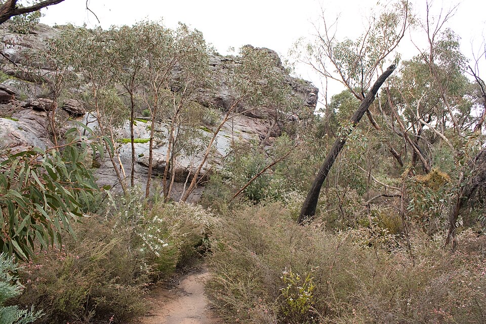
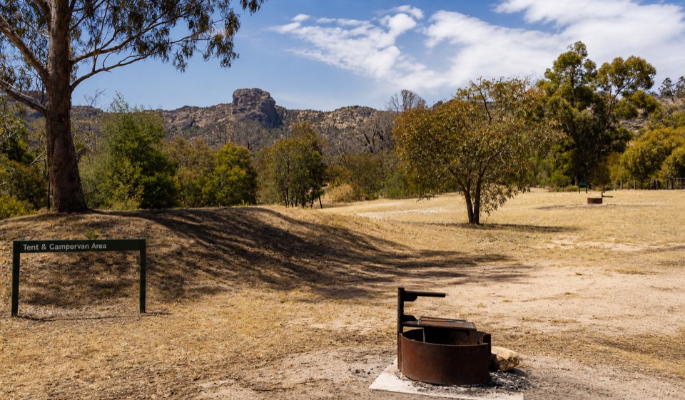
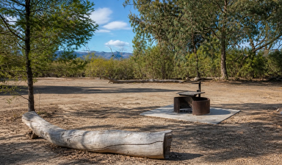
Coppermine is a tiny bush campground in the northern Grampians, set high enough for glimpses across the surrounding plains. Its appeal is the quiet and the setting: only four spacious campsites, open eucalyptus woodland, shared fireplaces, and a sense of being well away from the park's busier central stops.

This is a base for a proper self-sufficient bush-camping trip, not a convenient overnight stop. Sites can take tents, campervans, and camper trailers, with room for up to six people per site. The cleared ground and fallen timber give the place a relaxed campfire feel, while the open views are especially good around late afternoon when the ridge and plains pick up warmer light.

Facilities and what to bringFacilities are deliberately basic:

Facilities are deliberately basic:

Bring all drinking water, firewood, food, lighting, and camping equipment. Pack sturdy shoes and warm, wind-resistant layers: the exposed approach and elevated setting can feel much cooler than Halls Gap after sunset. Keep food secured, watch around logs and rocks, and give wildlife space.

  • Shared fireplaces with cooking grates
  • Pit toilets
  • Untreated tank water, which is not drinking water

Wildlife

Wildlife in Grampians

All Grampians wildlife maps

Sighting maps show where each species has been reported across Grampians. Wildlife moves, so no sighting is guaranteed.

Keep exploring

Near Coppermine Campground

See it all on the map

Trails nearby

More stops nearby

Parkwolf’s Grampians ranking

Top sights in Grampians

All 62 places
  1. 1MacKenzie Falls (Migunang wirab)Sight
  2. 2Pinnacle LookoutSight
  3. 3Boroka LookoutSight
  4. 4Reeds LookoutSight
  5. 5The BalconiesSight
  6. 6Mount William (Duwul)Sight

Take Parkwolf to Grampians.

The audio tour guide for the drive, plus offline maps, trails, and wildlife heatmaps for when the signal drops.

4.7 from 8,600+ ratings

Download Parkwolf on the App StoreGet Parkwolf on Google Play