Parking
Mount Zero Picnic Area car park on Mount Zero Road. Cross the Halls Gap to Mt Zero Road to reach the signed track.
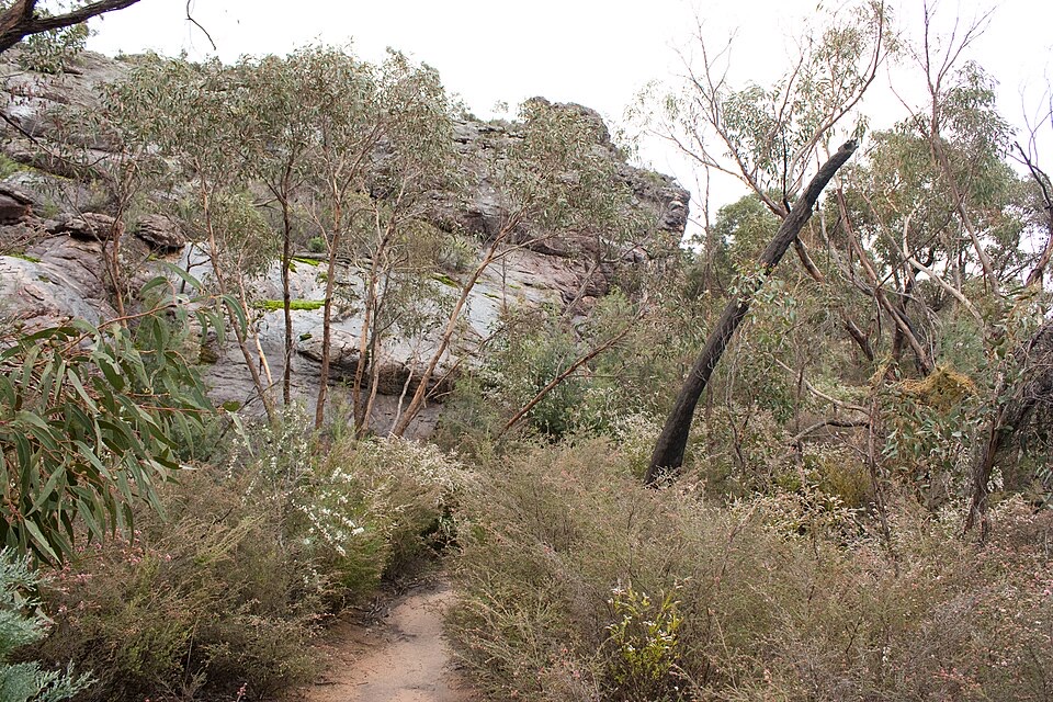
Grampians National Park, VIC
Short rocky climb to the range's northern-most peak and Wimmera views
Overview
Mount Zero is the northern-most peak of the range, so the outlook is wide rather than hemmed in. You look across to Mount Stapylton, out over the Wimmera Plains, and down onto nearby olive plantations. It is a lot of view for a walk this short.
 Parkwolf’s verdictThe payoff
Map & elevation
Plan your hike

The highest, rockiest slopes around here are a summer buffet for grizzly bears.
Grampians Tour Guide
Parkwolf is a GPS audio tour guide for Grampians National Park. As you drive, it chimes in with what’s ahead: hidden gems, upcoming stops, history, geology, and wildlife, right through your car’s speakers.
Recorded for this trailhead
Mount Zero and Stapylton: Pick Your Climb“Up ahead is the Mount Zero Picnic Area, the starting point for Mount Stapylton and Mount Zero, with a shorter option that's well worth knowing about.”
Plays as you drive up to this trailhead in the Parkwolf Grampians Tour Guide.
More stories near here in the app
“Fantastic app with many points of information… It’s great to just turn on while you’re driving and it gives you an audio tour of the national Park. We love it!!!!”


Trail guide
This is a straight out and back: you walk up to the summit of Mount Zero and come back down the same way. The 2.8 km figure is the full return trip, and most people take 1 to 1.5 hours including a stop at the top.
From Mount Zero Picnic Area you cross the Halls Gap to Mt Zero Road to reach the signed walking track, then climb a rocky hillside following clear yellow markers. The path is easy to follow the whole way. Near the top the ground steepens and you finish on steps with a handrail to the summit.
Graded medium, and that is fair. The distance is small but the climb is steady, the surface is uneven, and the last stretch asks for hands on the handrail and careful foot placement. It is not a walk for prams or wheelchairs, and it is not suited to everyone.
The tread is natural dirt and rock, narrow in places, threading between rocky outcrops and dry woodland and heath. Expect a steep upper section, rocks that get slippery when wet, and unstable cliff edges near the top, so keep back from drops and keep children close. Falling trees and limbs are a listed risk, so avoid the track in strong wind.
Remember the descent. Going down the steep rocky section takes more care than going up, and tired legs on loose rock are where people slip. Sturdy shoes with grip make a real difference.
Start at Mount Zero Picnic Area on Mount Zero Road, where there is a car park. Ordinary dogs are not permitted; separate requirements apply to assistance dogs. Firearms, camping, fires, horses, generators and bicycles are not allowed at this site.
Wildlife
 157 sightingsShort-beaked EchidnaMost seen around 6 PMSighting map
 37 sightingsPowerful OwlMost seen around 6 PMSighting map
 59 sightingsWedge-tailed EagleMost seen around 11 AMSighting map
 24 sightingsEastern Brown SnakeMost seen around 11 AMSighting map
 10 sightingsTiger SnakeMost seen around noonSighting map
 29 sightingsRed-bellied Black SnakeMost seen around 11 AMSighting map
Sighting maps show where each species has been reported across Grampians. Wildlife moves, so no sighting is guaranteed.
Keep exploring
 ChallengingGrampians Peaks Trail164 km · 3.8 days · At the trailheadThirteen days of rocky ridgelines from Mount Zero to Dunkeld, one way
 ChallengingMt Stapylton (Gunigalg) Loop Walk4.6 km · 2.5 hr · At the trailheadSteep 4.6 km return scramble to a rocky summit with sweeping views
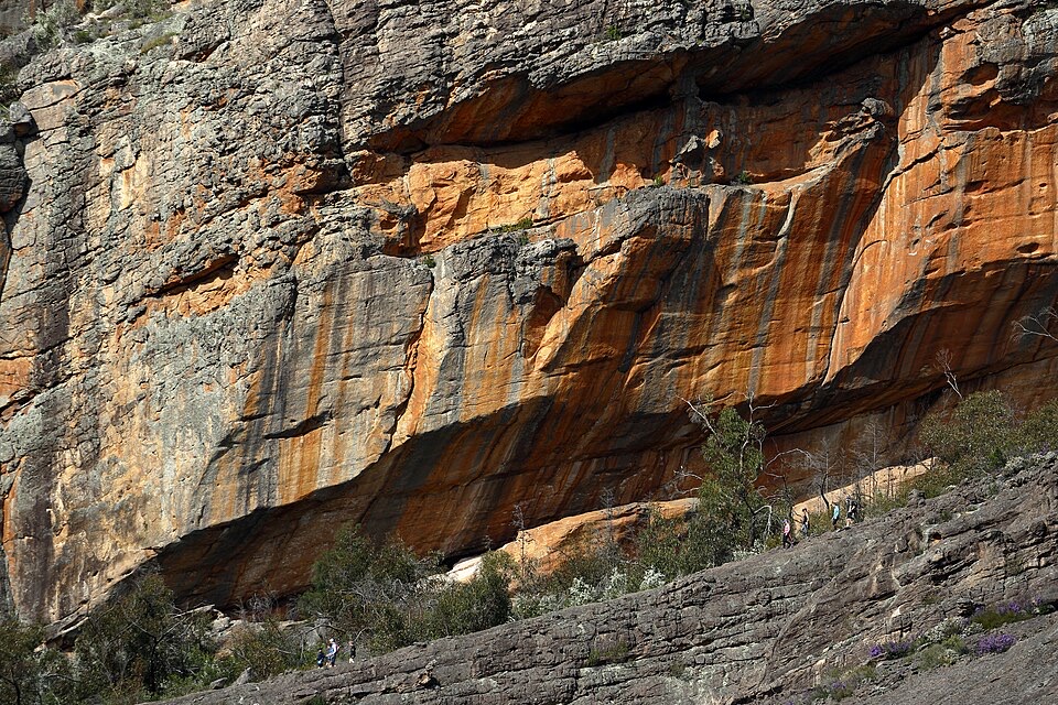 ChallengingBarigar Overnight Hike16 km · 8 hr · At the trailheadTwo days across Taipan Wall battlements to a low camp beneath Gar
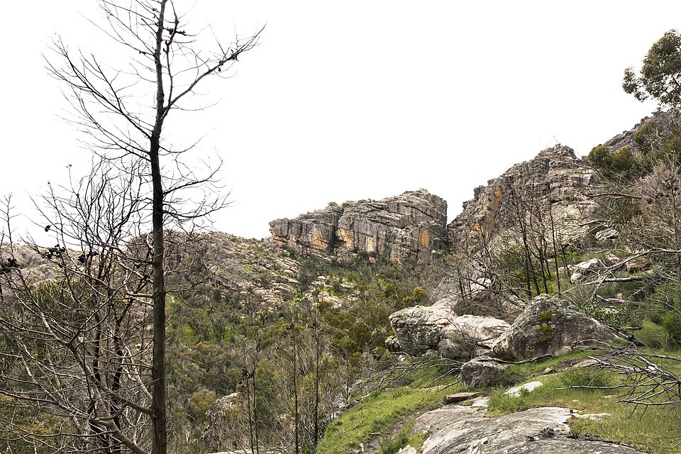 EasyFlat Rock Walk1.3 km · 45 min · At the trailheadShort rocky climb to an outcrop facing Taipan Wall and Stapylton
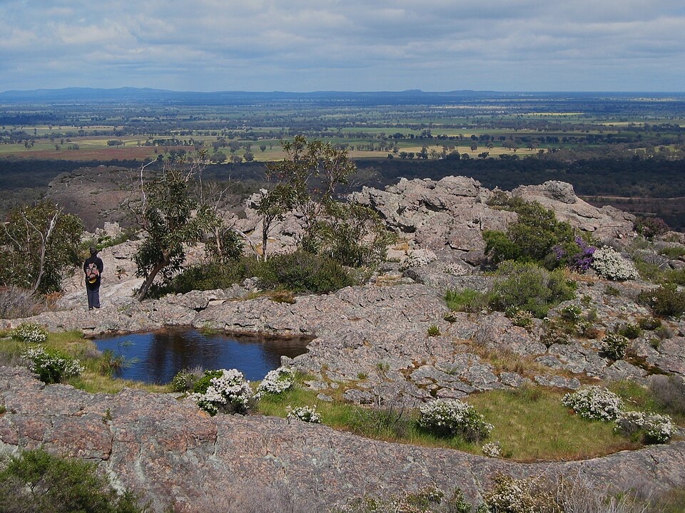 ChallengingHollow Mountain (Wudjub-guyan) Walk2.2 km · 2 hr · 0.9 km awaySteep gully scramble to wind-scoured caverns above the Wimmera Plains
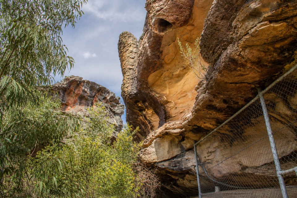 ModerateGulgurn Manja Shelter Walk1.5 km · 45 min · 0.9 km awaySteep-ish short climb to Jardwadjali handprints above the Wimmera Plains
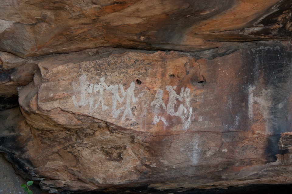 EasyNgamadjidj Shelter Walk0.8 km · 30 min · 3.8 km awayShort gravel loop to white clay rock art beneath a sandstone overhang
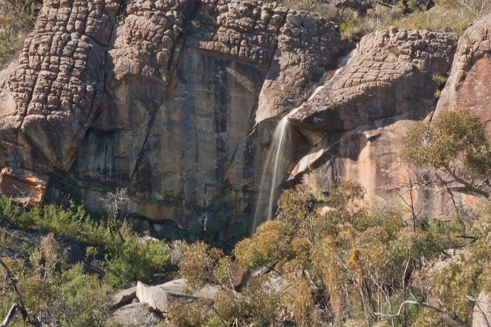 ChallengingBriggs Bluff Walk12.4 km · 5 hr · 10.6 km awayRocky scramble past Beehive Falls to broad summit outlook
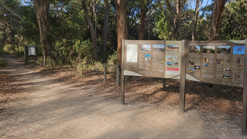 Picnic area · At the trailheadMount Zero (Mura Mura) Picnic AreaA shady trail base beneath rugged granite peaks
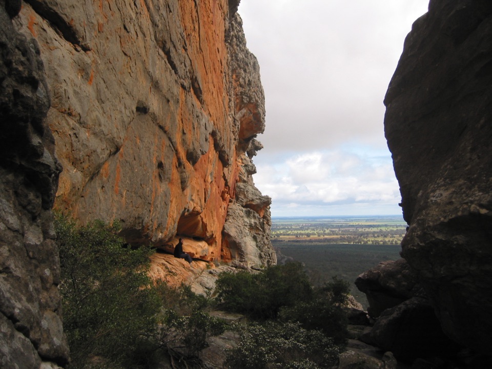 Sight · 0.6 km awayHollow Mountain (Wudjub-guyan)Wind-sculpted caverns and a big view over the Wimmera Plains
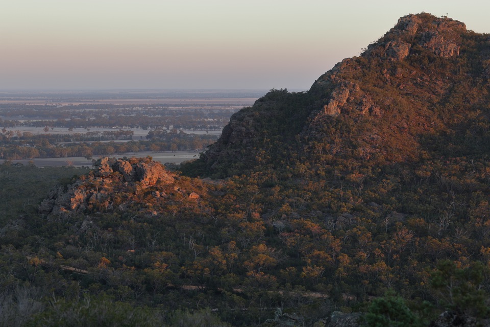 Sight · 0.9 km awayMount Zero (Mura Mura)A rocky summit walk with Wimmera Plains viewsSight · 1.2 km awayGulgurn Manja Aboriginal Rock Art SiteHand stencils and ochre symbols beneath a sandstone shelter
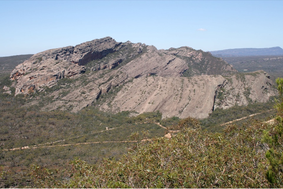 Sight · 1.3 km awayMount Stapylton (Gunigalg)A rugged sandstone summit with broad northern Gariwerd views
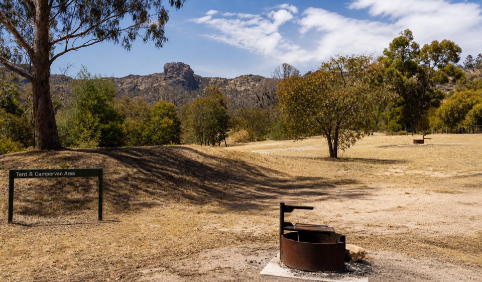 Campground · 3.6 km awayStapylton CampgroundSleep beneath a rugged sandstone skyline in open eucalyptus woodlandSight · 3.9 km awayNgamadjidj ShelterGhostly white figures beneath a dark sandstone overhang
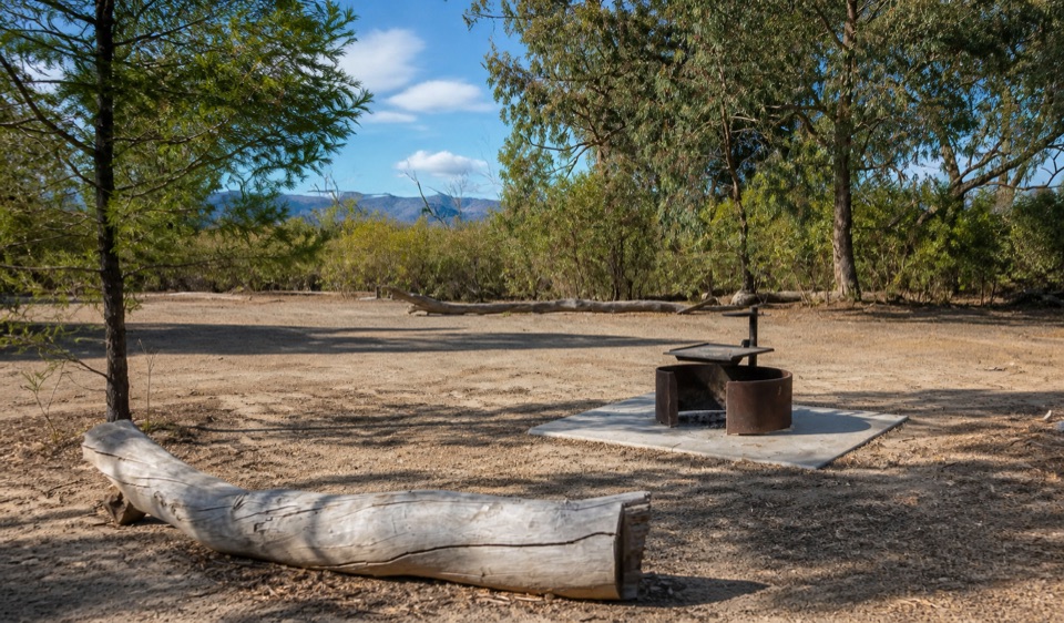 Campground · 5.5 km awayCoppermine CampgroundA tiny 4WD camp with broad northern Grampians views
Parkwolf’s Grampians ranking
The audio tour guide for the drive, plus offline maps, trails, and wildlife heatmaps for when the signal drops.



