Parking
Use the Ngamadjidj Shelter Trailhead near Stapylton Campground, reached from Olive Plantation Road. Park at the campground area and follow the short signed access to the circuit.
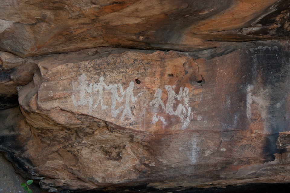
Grampians National Park, VIC
Short gravel loop to white clay rock art beneath a sandstone overhang
Overview
Map & elevation
Plan your hike

The highest, rockiest slopes around here are a summer buffet for grizzly bears.
Grampians Tour Guide
Parkwolf is a GPS audio tour guide for Grampians National Park. As you drive, it chimes in with what’s ahead: hidden gems, upcoming stops, history, geology, and wildlife, right through your car’s speakers.
Recorded for this trailhead
Ngamadjidj Shelter: White Figures in the Rock“Up ahead is Stapylton Campground, the starting point for a short walk to Ngamadjidj Shelter. The reason to stop is a group of pale, human-like figures painted with white clay beneath a sandstone overhang.”
Plays as you drive up to this trailhead in the Parkwolf Grampians Tour Guide.
More stories near here in the app
“Fantastic app with many points of information… It’s great to just turn on while you’re driving and it gives you an audio tour of the national Park. We love it!!!!”


Trail guide
This is a 0.8 km loop in total, not one way and not a there-and-back you double. It starts and finishes at the Ngamadjidj Shelter Trailhead near Stapylton Campground, and it's rated easy and self-guided.
From the trailhead you follow the formed circuit around to the sandstone overhang, where a short loop brings you beside the shelter. The payoff is the rock art itself: human-like figures created with white clay, at a site also known as the Cave of Ghosts. From there the path carries you back to where you started.
If you want something genuinely short and undemanding with a strong point of interest at the end, this is it.
This is an important Aboriginal Rock Art site, so treat it accordingly. The painted shelter is sealed off and the art is viewed from a distance, so plan on looking rather than approaching or touching.
Access is from Olive Plantation Road, via Stapylton Campground, which has parking and leaves only a short stroll to the shelter.
Not permitted at the trailhead area:
Be aware of falling limbs and falling trees, unstable cliffs, and European wasps.
The nearby Mount Stapylton Loop is the option to look at if this circuit feels too short and you'd rather have a longer, more demanding walk in the same area.
Wildlife
 157 sightingsShort-beaked EchidnaMost seen around 6 PMSighting map
 37 sightingsPowerful OwlMost seen around 6 PMSighting map
 59 sightingsWedge-tailed EagleMost seen around 11 AMSighting map
 24 sightingsEastern Brown SnakeMost seen around 11 AMSighting map
 10 sightingsTiger SnakeMost seen around noonSighting map
 29 sightingsRed-bellied Black SnakeMost seen around 11 AMSighting map
Sighting maps show where each species has been reported across Grampians. Wildlife moves, so no sighting is guaranteed.
Keep exploring
 ChallengingGrampians Peaks Trail164 km · 3.8 days · 3.8 km awayThirteen days of rocky ridgelines from Mount Zero to Dunkeld, one way
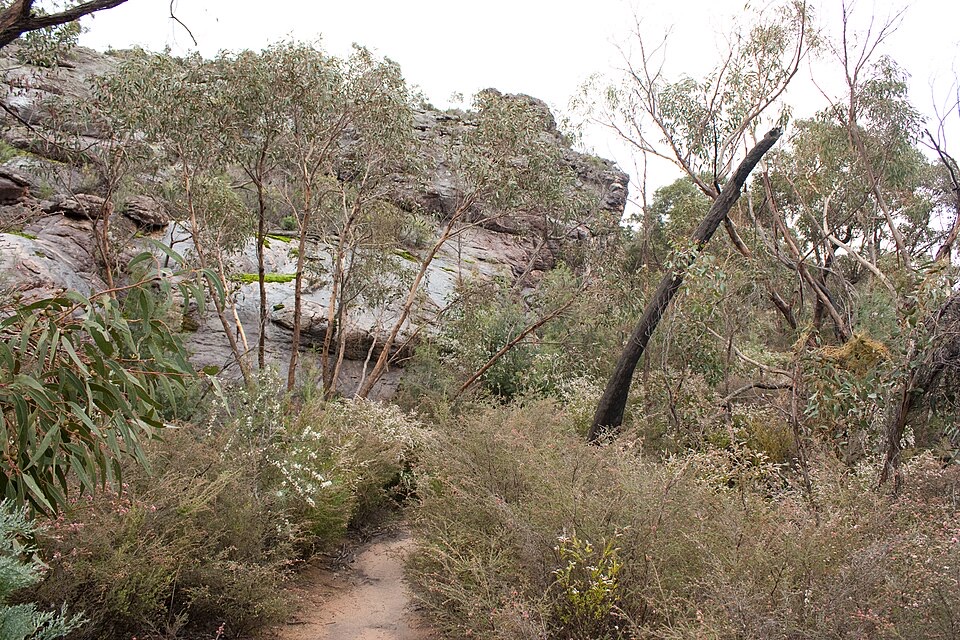 ModerateMt Zero (Mura Mura) Walk2.8 km · 1.3 hr · 3.8 km awayShort rocky climb to the range's northern-most peak and Wimmera views
 ChallengingMt Stapylton (Gunigalg) Loop Walk4.6 km · 2.5 hr · 3.8 km awaySteep 4.6 km return scramble to a rocky summit with sweeping views
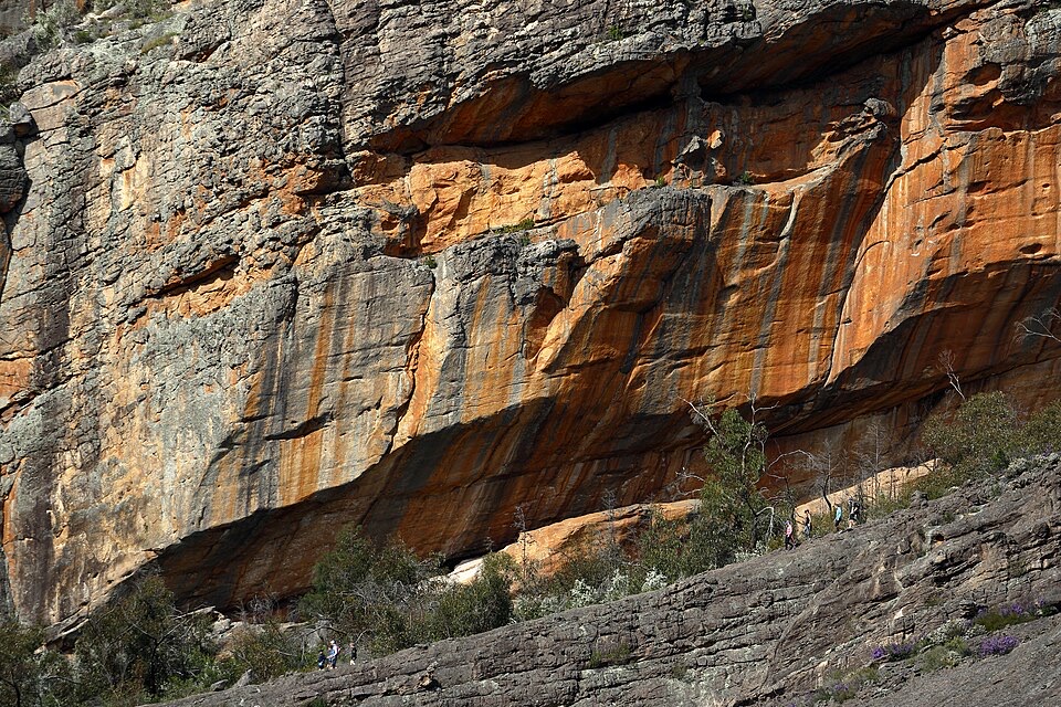 ChallengingBarigar Overnight Hike16 km · 8 hr · 3.9 km awayTwo days across Taipan Wall battlements to a low camp beneath Gar
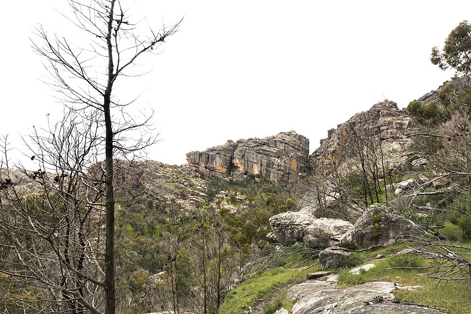 EasyFlat Rock Walk1.3 km · 45 min · 3.9 km awayShort rocky climb to an outcrop facing Taipan Wall and Stapylton
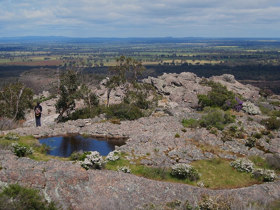 ChallengingHollow Mountain (Wudjub-guyan) Walk2.2 km · 2 hr · 4.4 km awaySteep gully scramble to wind-scoured caverns above the Wimmera Plains
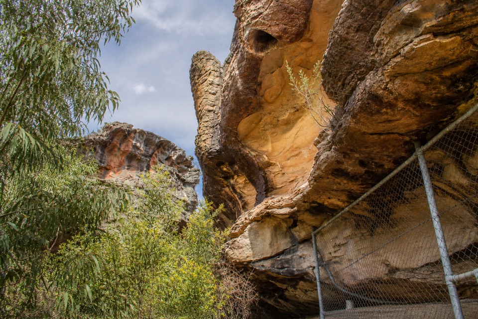 ModerateGulgurn Manja Shelter Walk1.5 km · 45 min · 4.4 km awaySteep-ish short climb to Jardwadjali handprints above the Wimmera Plains
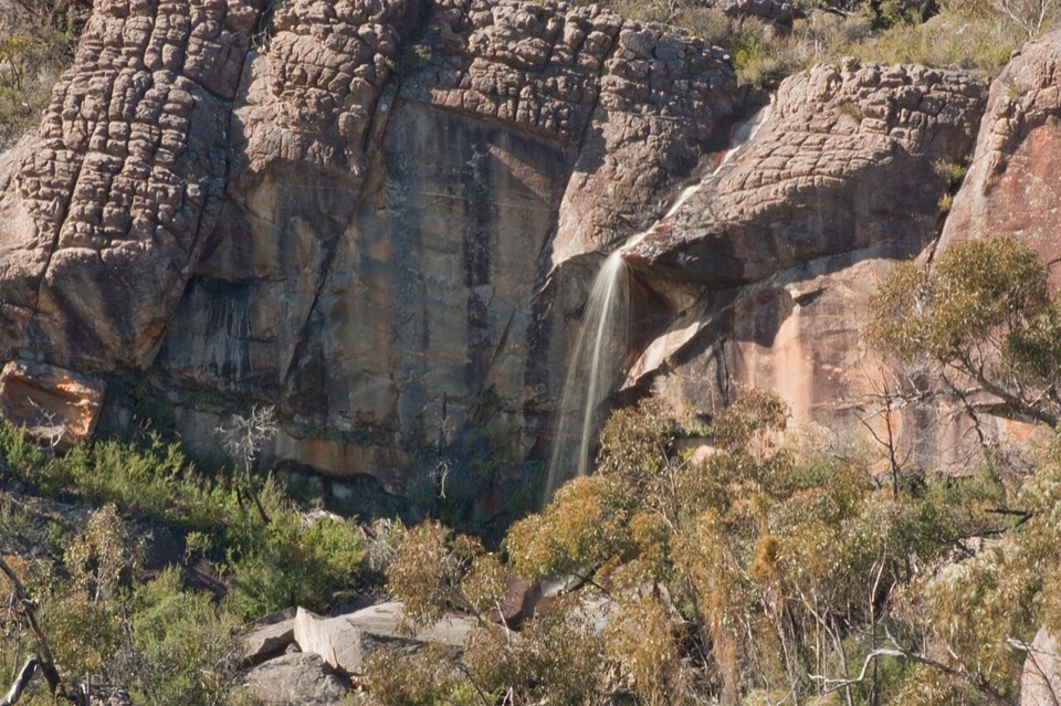 ChallengingBriggs Bluff Walk12.4 km · 5 hr · 7.6 km awayRocky scramble past Beehive Falls to broad summit outlookSight · 0.2 km awayNgamadjidj ShelterGhostly white figures beneath a dark sandstone overhang
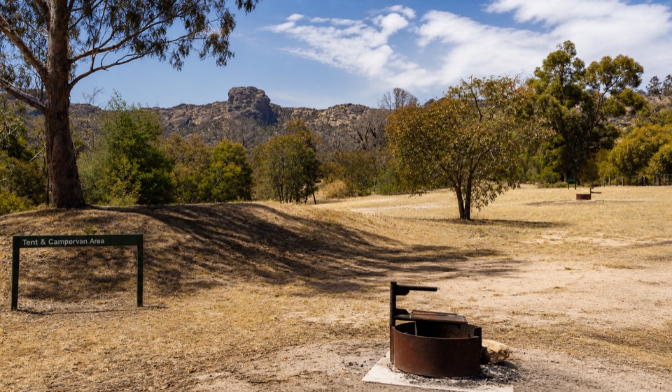 Campground · 0.2 km awayStapylton CampgroundSleep beneath a rugged sandstone skyline in open eucalyptus woodland
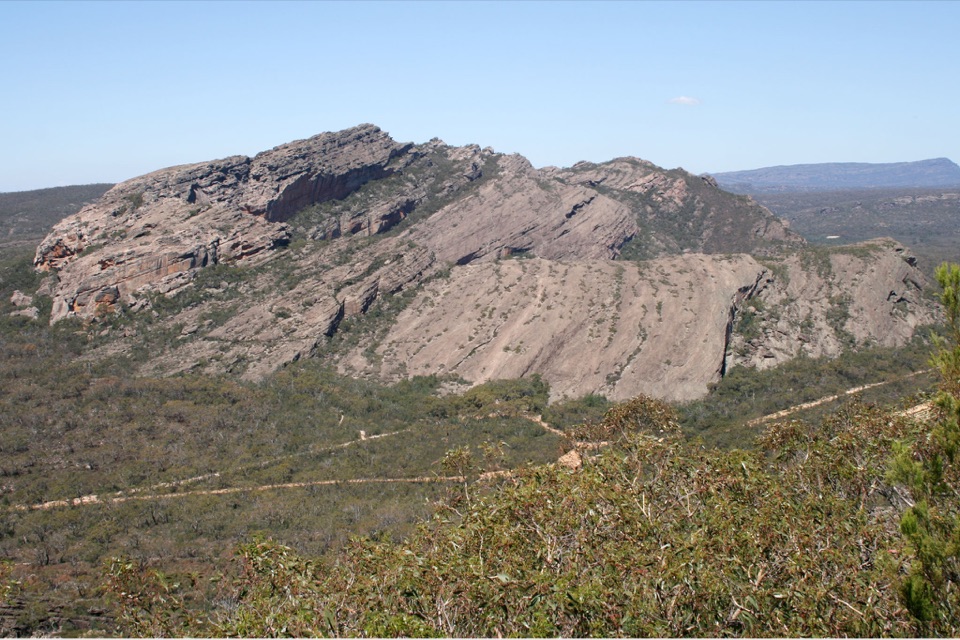 Sight · 3 km awayMount Stapylton (Gunigalg)A rugged sandstone summit with broad northern Gariwerd views
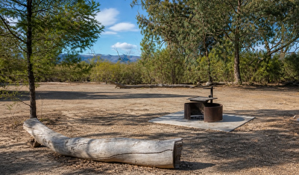 Campground · 3.3 km awayCoppermine CampgroundA tiny 4WD camp with broad northern Grampians views
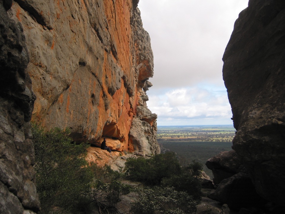 Sight · 3.6 km awayHollow Mountain (Wudjub-guyan)Wind-sculpted caverns and a big view over the Wimmera Plains
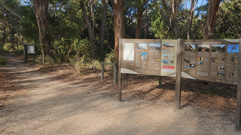 Picnic area · 3.8 km awayMount Zero (Mura Mura) Picnic AreaA shady trail base beneath rugged granite peaksSight · 4.3 km awayGulgurn Manja Aboriginal Rock Art SiteHand stencils and ochre symbols beneath a sandstone shelter
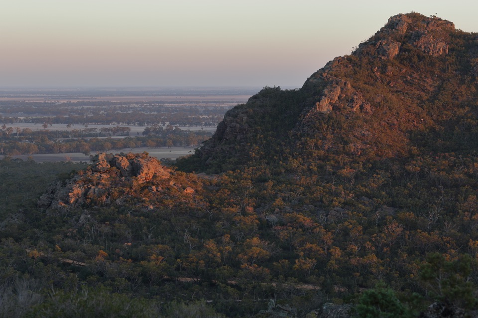 Sight · 4.7 km awayMount Zero (Mura Mura)A rocky summit walk with Wimmera Plains views
Parkwolf’s Grampians ranking

The audio tour guide for the drive, plus offline maps, trails, and wildlife heatmaps for when the signal drops.



