Pros & cons
PROS
- Clear views down to the Colorado River and visible rapids
- Superb sunset angles with multiple overlook nooks to spread out
CONS
- No restrooms on site (nearest are at Hopi Point)
- Part of the eastward view is blocked by the Hopi Point ridge
Why go
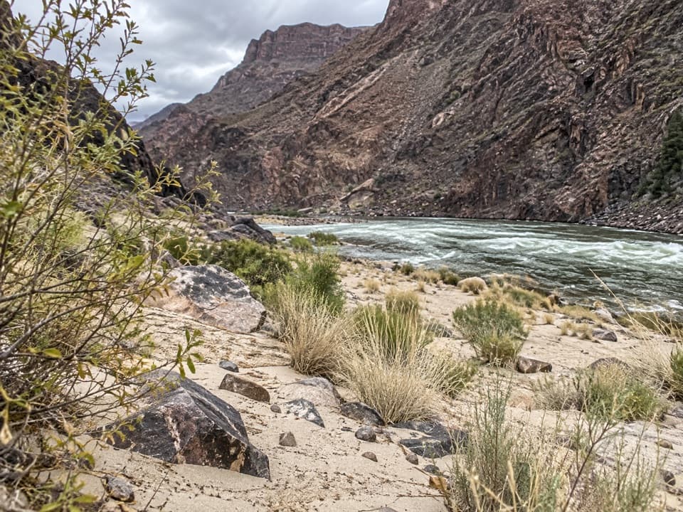
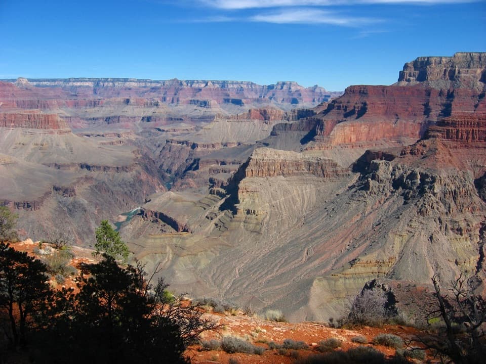
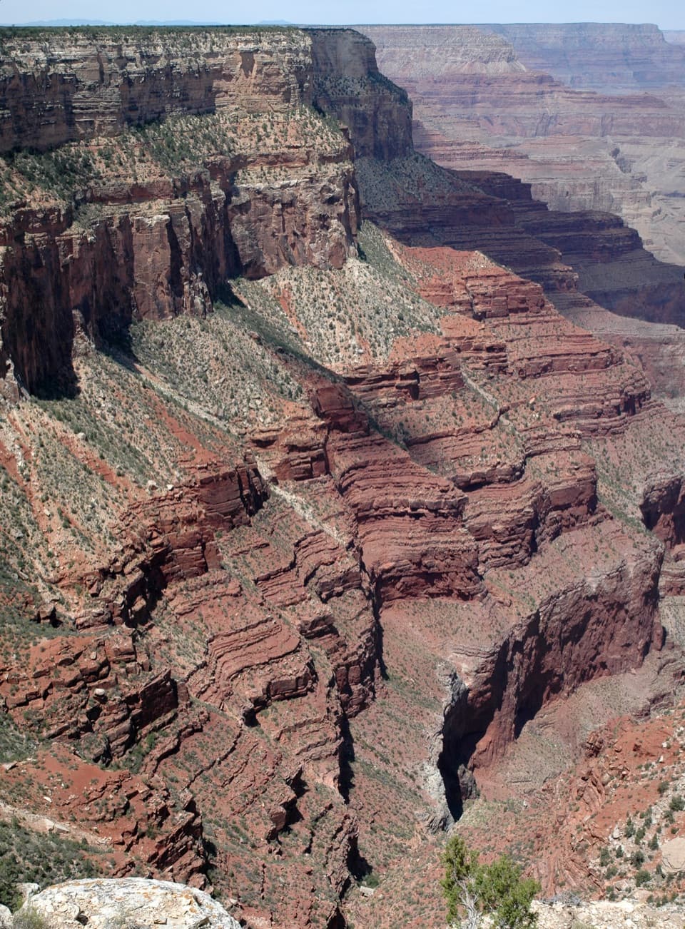
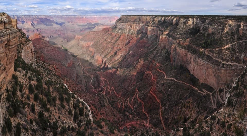
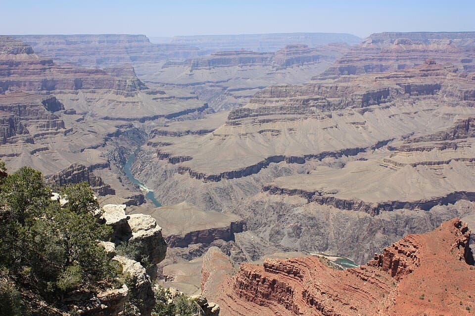
Mohave Point is the South Rim stop you pick when you want drama without the crush. Multiple small overlooks let you find your own perch, and the sightlines drop straight to the Colorado River—one of the few places on the rim where you can easily pick out the river and its big rapids far below.
What you’ll see
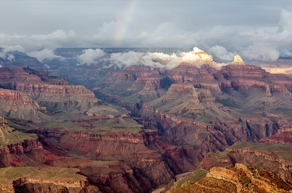
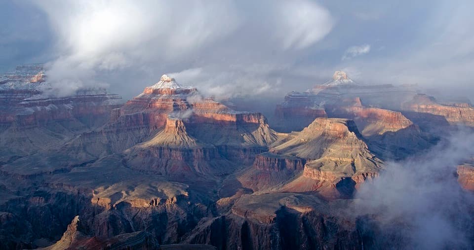
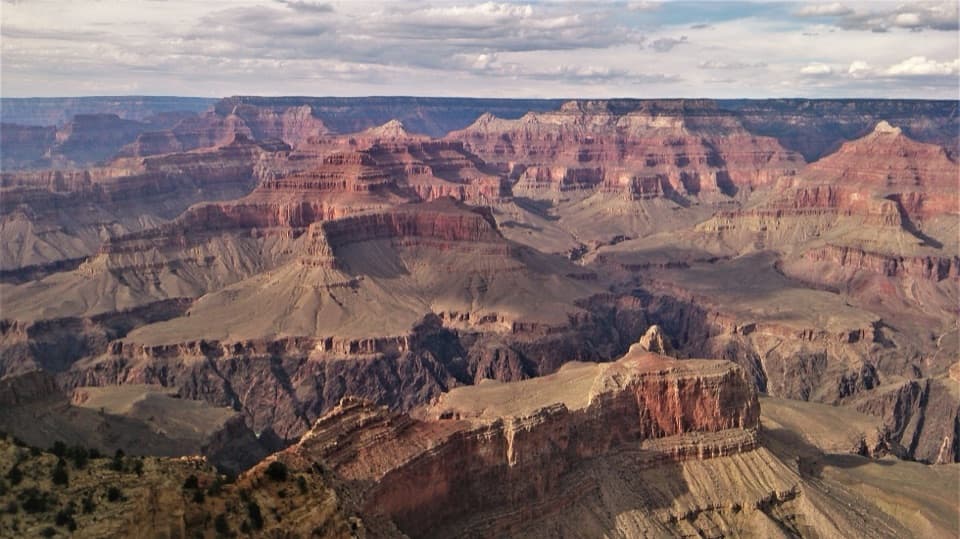
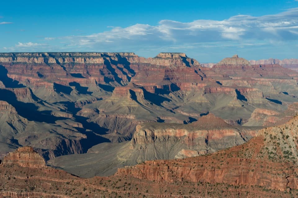
Look west into near-vertical cliffs above The Abyss and on toward Pima Point; look north to a red sandstone mesa and the river snaking through the depths, with major rapids visible. Across the canyon you can pick out named temples and buttes like The Alligator, Tower of Set, Horus, Osiris, Tower of Ra, and Isis. The varied angles from the separate overlooks make this a killer photo stop.
Access & logistics
Mohave Point sits along Hermit Road and is served by the park’s Red Route shuttle. It’s also a favorite on the Hermit Road cycling corridor. Private vehicles are restricted when shuttles are running. If you’re up for it, it’s about 3.9 miles one-way on foot or bike from Grand Canyon Village.
Amenities (and what’s not here)
You’ll find auto/bus parking, picnic tables, and interpretive displays. There are no restrooms at Mohave Point—use Hopi Point before you hop off. No food, water, or stores here, so come prepared.
Best time to visit
Sunset is the headliner thanks to the west-facing exposure and big sky views, and it’s often quieter than the marquee stops. Midday can be harsh and hot with limited shade; mornings can be peaceful but some views east are partially blocked by the Hopi Point ridge. In summer, shuttles can fill—cycling Hermit Road is a smart alternative.
Wildlife
Sources don’t list species specific to Mohave Point, but typical South Rim sightings include ravens, mule deer, lizards, and occasionally California condors soaring the thermals. Bring binoculars if you like to scan the cliffs and river corridor.
Photography tips
Work the point’s multiple overlooks to change your composition—foreground ledges, the red mesa below, and the river’s S-curves all play well. A longer lens helps isolate rapids and temple formations; wide lenses shine at sunset when the canyon layers stack and glow.
Where it is
36.0722, -112.1660Tips for Mohave Point
- 01Ride the Red Route shuttle; it’s one of the limited eastbound return stops.
- 02Explore all the small overlooks—each gives a different angle on the river.
- 03Hit sunset here; arrive early to claim a perch and linger for afterglow.
- 04Use the restrooms at Hopi Point before you hop off at Mohave.
- 05In peak season, consider biking Hermit Road to avoid full shuttles.
Amenities
Near Mohave Point
All places →All trails →
0.7 mi awayHopi PointThe South Rim’s go-to sunset perch with sweeping river viewsScenic Viewpoint
0.8 mi awayPowell PointHistoric overlook with Powell monument and mellow sunset viewsExhibit · Scenic Viewpoint
0.9 mi awayLost Orphan MineClosed uranium mine and cautionary tale along the Rim Trail
1 mi awayThe AbyssDizzying 3000 foot drop and quiet views along Hermit RoadScenic Viewpoint
1.2 mi awayHermit Road Greenway TrailQuiet, paved rim stroll from Monument Creek Vista to Hermits Rest.Easy · 2 mi · 1 hr
2.4 mi awayRim TrailEffortless South Rim stroll with nonstop Grand Canyon views.Easy · 13 mi · 6 hr
2.7 mi awayHermit TrailSteep, historic descent to solitude and stonework on the South RimChallenging · 9 mi · 10 hr
2.7 mi awayHermit Creek TrailRugged, historic rim-to-river descent to Hermit Creek and RapidsChallenging · 17.5 mi · 13 hr