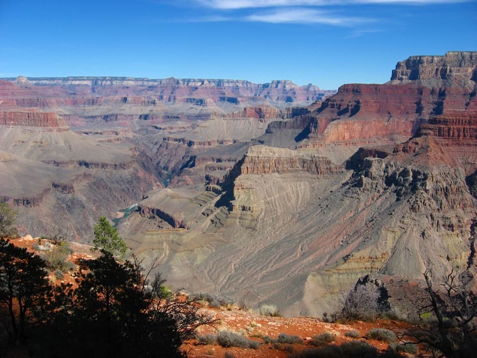
Boucher Trail in Grand Canyon National Park

Grand Canyon National Park, AZ

Boucher Trail

Steep canyon miles to a prospector’s old creekside camp.

Photo: Wikimedia Commons
Length
18.6mi
Time
18hr
Elev. change
3,888ft
Difficulty
Challenging
  • No dogs
  • High point 6,545 ft
  • #31 of 73 in Grand Canyon

Hear the audio tour

Hermits Rest’s Cabin and Fireplace

Overview

About Boucher Trail

Why go

  • A long Esplanade traverse with views across deep side canyons.
  • Historic trail and camp remains tied to Louis Boucher.

Heads up

  • Punishing return climb on loose, exposed and hard-to-follow trail.
  • Multi-day commitment; reliable water is far down the route.
Boucher Trail is an 18.6-mile out-and-back from Hermit Trailhead to the Boucher Creek campsites, using Hermit, Dripping Springs, Boucher and Tonto trails. The mapped line covers the 9.3-mile route one way; you return on the same corridor. You get a long, open traverse across the Esplanade, one of the canyon’s roughest descents, and a creek-side camp at the bottom. This is for experienced canyon hikers who are comfortable with exposed, eroded trail. Plan a multi-day backpack, not a day hike. If you want a shorter taste, turn around at Yuma Point after about 10 miles round trip, before the hardest descent.
Parkwolf’s verdictIs this the hike for you?

Map & elevation

The route

Loading the Grand Canyon map
Full map
Elevation2,657–6,545 ft
TrailheadHermit Trailhead36.06046, -112.21251
Keep this map with you offline in the Parkwolf app

Plan your hike

Before you go

Parking

Hermit Trailhead is just west of Hermits Rest, reached by the dirt road beyond the restrooms. When Hermit Road is shuttle-only, day hikers cannot park at the trailhead; ride the Hermit (Red Route) shuttle to Hermits Rest and walk the access road. Valid Hermit or Boucher backcountry permit holders may drive through the restricted gate using the code on their permit; all-traffic access normally resumes December 1 through February.

Safety

For experienced canyon hikers: expect steep, rocky, eroded trail, a loose hand-and-foot downclimb at Travertine Canyon and a difficult Redwall descent. Snow can hide the route and winter storms can leave serious ice. Treat natural water. Overnight camping below the rim requires a backcountry permit. Pets are prohibited below the rim except service animals assisting a person with a disability.

4 active Grand Canyon alerts

  • ClosureInner Canyon and North Rim trail closuresDo not enter the closed trails, bridges, campgrounds, and inner-canyon areas.Official details
  • ClosureNorth Rim scenic roads closed for repairsCape Royal Road and Point Imperial Road are closed from sunset October 15 through sunrise November 3, 2026. - The roads are closed to accommodate critical road repair and rehabilitation work.Official details
See all 4 alerts
A park ranger sits on a dash-mounted phone, talking, as Parkwolf’s Tour Guide plays “Army Cutworm Moths: A Grizzly Bear Buffet” on Grand Loop Road below Dunraven Pass in Yellowstone
Parkwolf Tour GuideThe highest, rockiest slopes around here are a summer buffet for grizzly bears.

Grand Canyon Tour Guide

Your drive to Boucher Trail, narrated.

Parkwolf is a GPS audio tour guide for Grand Canyon National Park. As you drive, it chimes in with what’s ahead: hidden gems, upcoming stops, history, geology, and wildlife, right through your car’s speakers.

See the Grand Canyon audio tour

Recorded for this trailhead

Hermits Rest’s Cabin and Fireplace
0:00 / 0:33
“Up ahead is Hermits Rest at the end of Hermit Road.”

Plays as you drive up to this trailhead in the Parkwolf Grand Canyon Tour Guide.

More stories near here in the app

  • Pima Point and the Cataract Plains
  • Monument Creek Vista and the Greenway
  • The Abyss’s Sheer Drop
  • Mohave Point’s Rapids and Rock Formations
  • 79 audio storiesacross Grand Canyon’s roads, triggered by GPS as you drive
  • Wildlife heatmapsfor California Condor, Bighorn Sheep, American Bison, and 13 more
  • Works offlinemaps, 73 trails, 96 places, and audio download before you lose signal
  • CarPlay readysimple controls built for the drive
★★★★★
“Fantastic app with many points of information… It’s great to just turn on while you’re driving and it gives you an audio tour of the national Park. We love it!!!!”
JMJamesApp Store review
Download Parkwolf on the App StoreGet Parkwolf on Google Play

4.7 from 8,600+ ratings

Trail guide

Hiking Boucher Trail

From the rim to the Boucher junctionStart west of Hermits Rest and descend on the Hermit Trail.

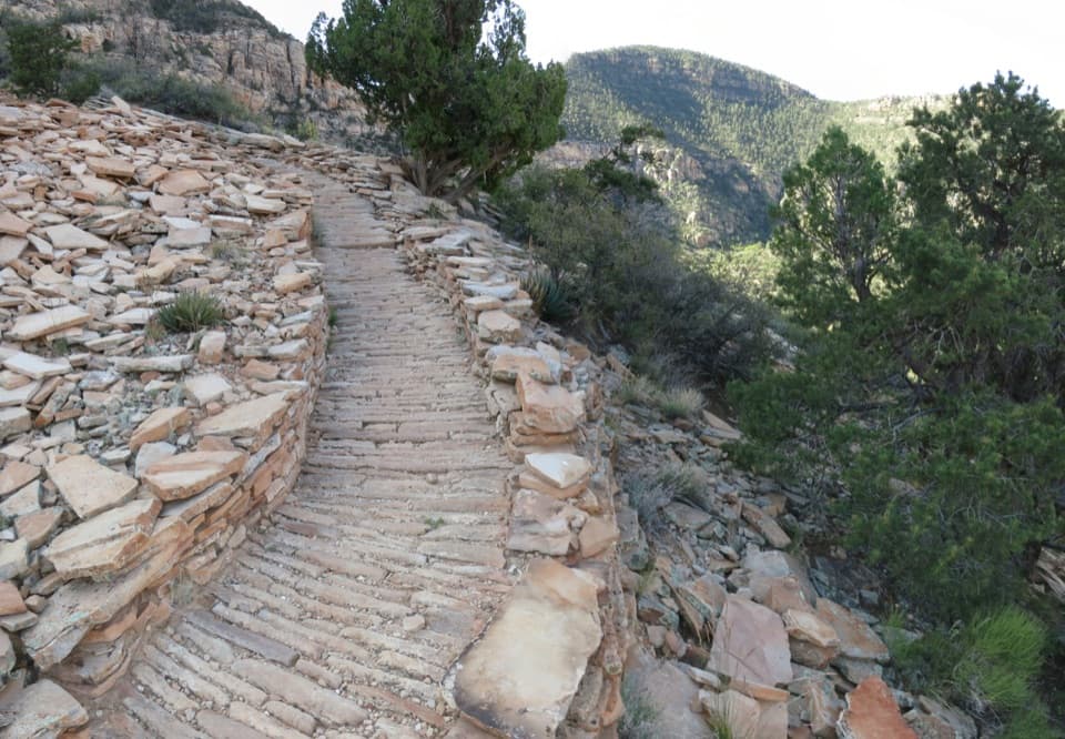
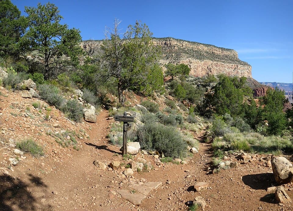
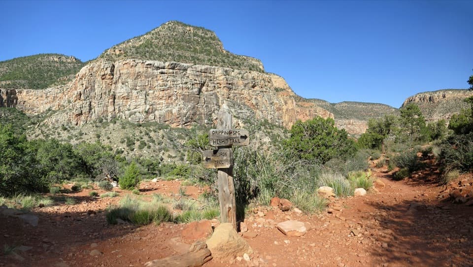
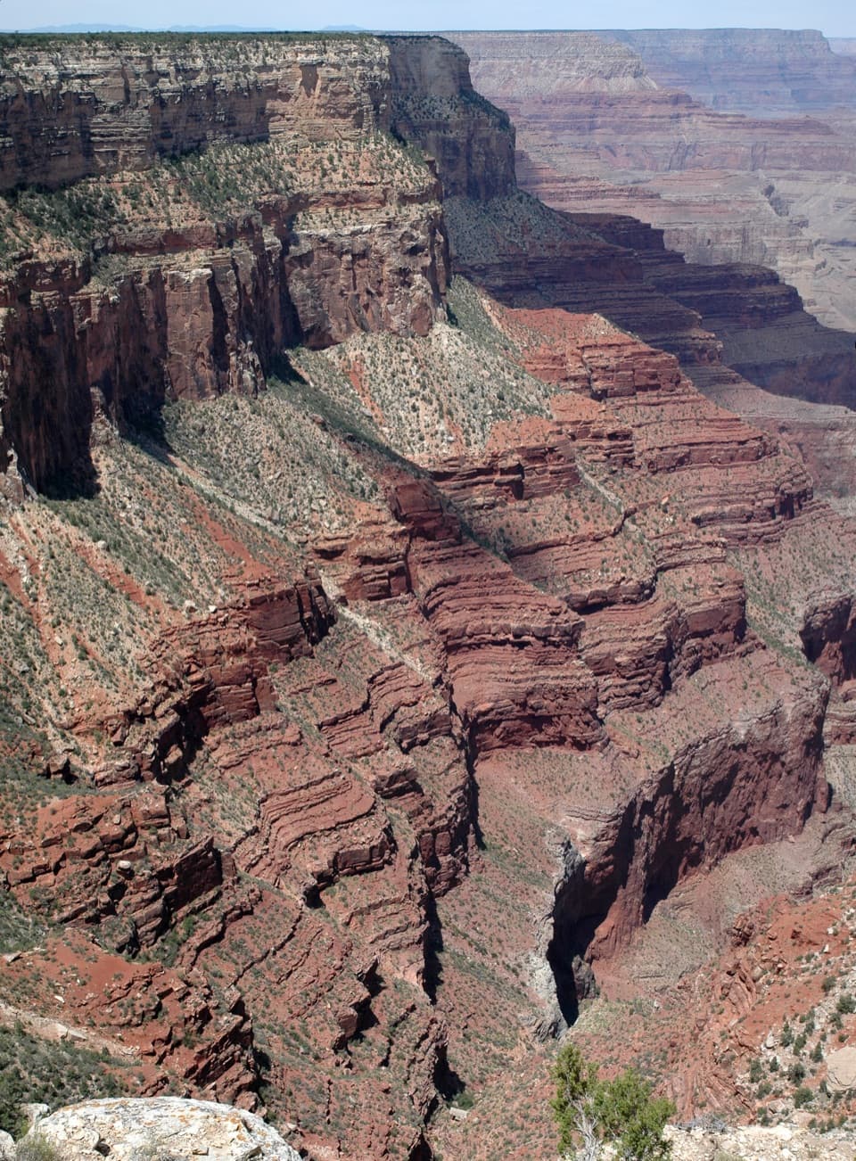
Start west of Hermits Rest and descend on the Hermit Trail. The first stretch is steep and rocky, with switchbacks through Kaibab Limestone, Toroweap, Coconino Sandstone and Hermit Shale. At the signed Dripping Springs junction, turn west onto the narrow connector. It undulates around the head of Hermit drainage, with open views across the Esplanade. Dripping Springs is a short side trip at the old home site. The Boucher Trail junction is about 2.7 miles from the trailhead; stay on the route rather than following the spring as your destination.

Across the EsplanadeThe Boucher Trail runs north along the open Esplanade below Yuma Point.

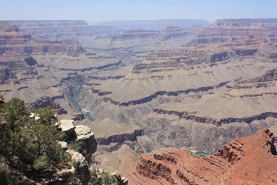
The Boucher Trail runs north along the open Esplanade below Yuma Point. This is the route’s most spacious stretch, but it is not a smooth walk: small, steep drainages and rockslides under the Coconino cliffs break up the traverse. The broad view across Hermit Canyon is the best photo opportunity; Cope Butte and The Alligator make useful landmarks in the layered view. Seasonal water pockets below Yuma Point are not dependable. Keep enough water for the long, dry descent ahead.

Travertine and the RedwallAfter passing below Yuma Point, the trail stays fairly level for roughly half a mile toward…

After passing below Yuma Point, the trail stays fairly level for roughly half a mile toward Travertine Canyon. Then it drops abruptly through the Supai cliffs in a short, loose hand-and-foot downclimb. Take your time and look for the established holds; this is an exposed, eroded section where a slip can have serious consequences. Below it, the route crosses the west side of Travertine Canyon and the open saddle between Cocopa Point and Whites Butte. The descent through the Redwall is steep, loose and hard on the knees, with long switchbacks to the Tonto Trail. Fresh snow can hide the tread.

Boucher CreekA large cairn, without a sign, marks the Tonto junction.

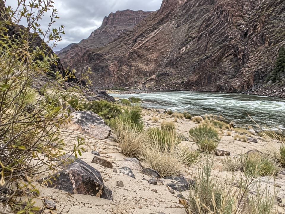
A large cairn, without a sign, marks the Tonto junction. Turn left, west, toward Boucher Creek; the other direction leads toward Hermit Creek. The final descent crosses Tapeats Sandstone and reaches the creek and campsites about 9.3 miles from Hermit Trailhead. Boucher Creek is the route’s reliable natural water source; treat it before drinking. A further rock-hopping walk down the creek reaches Boucher Rapid, but it adds about 1.5 miles each way and is outside the mapped 18.6-mile route.

Louis Boucher’s trailLouis Boucher was a Canadian-born prospector who lived at Dripping Springs and near Boucher…

Louis Boucher was a Canadian-born prospector who lived at Dripping Springs and near Boucher Creek, and built the trail that bears his name. Stone remains near the creek mark his lower camp and work area. The route also makes the canyon’s geology easy to read: the rim-side Kaibab, Toroweap, Coconino and Hermit layers give way to the Supai cliffs, Redwall Limestone and Tapeats Sandstone. The pale travertine deposits near the canyon are another reason to slow down and look closely.

Access, water and rulesThe trailhead is just west of Hermits Rest, down the dirt road beyond the restrooms.

The trailhead is just west of Hermits Rest, down the dirt road beyond the restrooms. When Hermit Road is shuttle-only, day hikers cannot park at the trailhead; take the Hermit (Red Route) shuttle to Hermits Rest and walk the access road. Valid Hermit or Boucher backcountry permit holders may drive through the restricted gate using the code on their permit. Overnight camping below the rim requires a backcountry permit. The spring-fed station near the trailhead is non-potable, so treat spring water. Pets are not allowed below the rim; service animals assisting a person with a disability are permitted.

Wildlife

Wildlife in Grand Canyon

All Grand Canyon wildlife maps

Sighting maps show where each species has been reported across Grand Canyon. Wildlife moves, so no sighting is guaranteed.

Keep exploring

Near Boucher Trail

See it all on the map

Trails that start nearby

Places near the trailhead

Parkwolf’s Grand Canyon ranking

Top-rated trails in Grand Canyon

All 73 trails
  1. 1Rim-to-Rim: North Kaibab to Bright AngelChallenging · 23.5 mi
  2. 2South Kaibab TrailChallenging · 6.3 mi
  3. 3Bright Angel TrailChallenging · 7.8 mi
  4. 4Rim TrailModerate · 12.8 mi
  5. 5Rim-to-Rim: South Kaibab to North KaibabChallenging · 21 mi
  6. 6Cape Royal TrailEasy · 0.8 mi

Take Parkwolf to Grand Canyon.

The audio tour guide for the drive, plus offline maps, trails, and wildlife heatmaps for when the signal drops.

4.7 from 8,600+ ratings

Download Parkwolf on the App StoreGet Parkwolf on Google Play