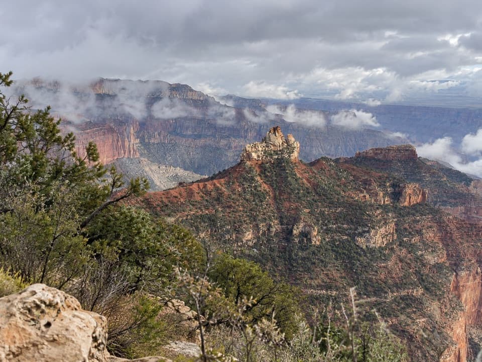
Parking
No road trailhead or parking. Reach the upper Nankoweap camp on a Colorado River trip (river mile 52, river right); this mapped variant starts at the back of that camp.

Grand Canyon National Park, AZ
A steep river-camp climb to ancient granaries above the Colorado.
Overview
Map & elevation
Plan your hike

The highest, rockiest slopes around here are a summer buffet for grizzly bears.
Grand Canyon Tour Guide
Parkwolf is a GPS audio tour guide for Grand Canyon National Park. As you drive, it chimes in with what’s ahead: hidden gems, upcoming stops, history, geology, and wildlife, right through your car’s speakers.
See the Grand Canyon audio tour“Fantastic app with many points of information… It’s great to just turn on while you’re driving and it gives you an audio tour of the national Park. We love it!!!!”


Trail guide
Nankoweap Granary Trail is an out-and-back from the upper river camp at Nankoweap, river mile 52, to storage rooms in a cliff alcove above the Colorado. Plan on about 1.2 miles round trip and around an hour. The short distance hides a steep, rocky climb, so choose it if your river trip leaves time for a demanding side hike. This is the river-side granary walk, separate from the much longer Nankoweap Trail that descends from the North Rim.
Start at the back of the upper camp and follow the established path toward the southwest wall. The granaries are visible from the base of the climb and help orient the approach. The trail crosses rough rock, climbs sharply and finishes with a little scrambling near the site. Take your time on the narrow ledge. The mapped route starts at the upper camp; the approach from another delta camp may differ.
Four storage rooms sit beneath an overhang in the cliff. Ancestral Puebloan people built and used them about a thousand years ago; the delta below provided crops to store. From the ledge, the Colorado runs away both upstream and downstream. Frame the rooms with some of the river in view to show how high the site sits above the canyon floor.
This is not a road-access trailhead. Reach Nankoweap on a Colorado River trip and start from the upper camp at river mile 52. Arrange river access and camping before planning the hike. The National Park Service permits the stabilized approach but asks visitors to stay on the ledge below the granaries. Leave the structures and artifacts untouched; pets are prohibited below the rim, except qualifying service animals.
Wildlife
 718 sightingsCalifornia CondorMost seen around 5 PMSighting map
 533 sightingsBighorn SheepMost seen around 7 AMSighting map
 169 sightingsAmerican BisonMost seen around 7 PMSighting map
 1,891 sightingsElkMost seen around 6 AMSighting map
 59 sightingsCoyoteMost seen around 6 PMSighting map
 27 sightingsGray FoxMost seen around 6 AMSighting map
Sighting maps show where each species has been reported across Grand Canyon. Wildlife moves, so no sighting is guaranteed.
Keep exploring
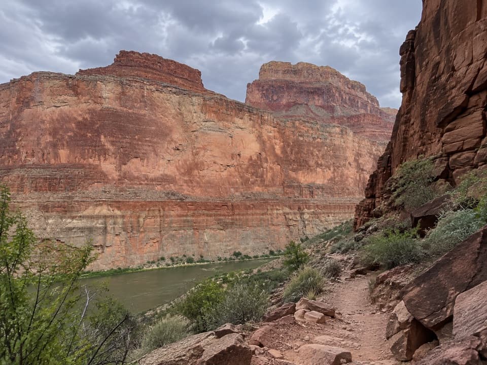 ChallengingSaddle Canyon Trail2.8 mi · 3.5 hr · 4.8 mi awayA steep climb ends at a waterfall in a narrow side canyon
 ChallengingNankoweap Trail29 mi · 4 days · 6.2 mi awayA remote river descent for experienced canyon backpackers.
 ModeratePoint Imperial Trail5.2 mi · 2.8 hr · 6.9 mi awayA rim walk through the 2000 Outlet Fire burn.
 ChallengingKen Patrick Trail9.8 mi · 6 hr · 6.9 mi awayForest miles and big canyon views along the North Rim.
 EasyRoosevelt Point Trail0.3 mi · 24 min · 7.7 mi awayA woodland loop opens to the Painted Desert and canyon views.
 ModerateFrancois Matthes Trail10.7 mi · 5.5 hr · 8 mi awayA long former road to a brush-framed North Rim overlook.
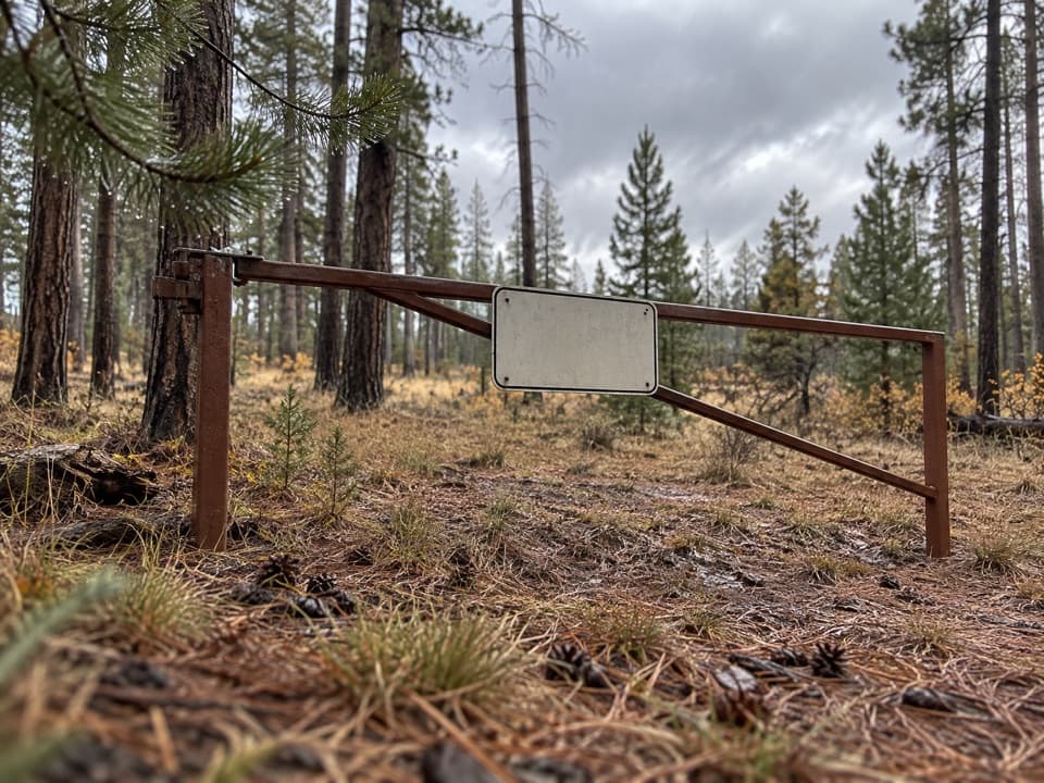 ModerateWalhalla Glades Trail15 mi · 6 hr · 8 mi awayA 15-mile out-and-back on Walhalla Plateau's old road.
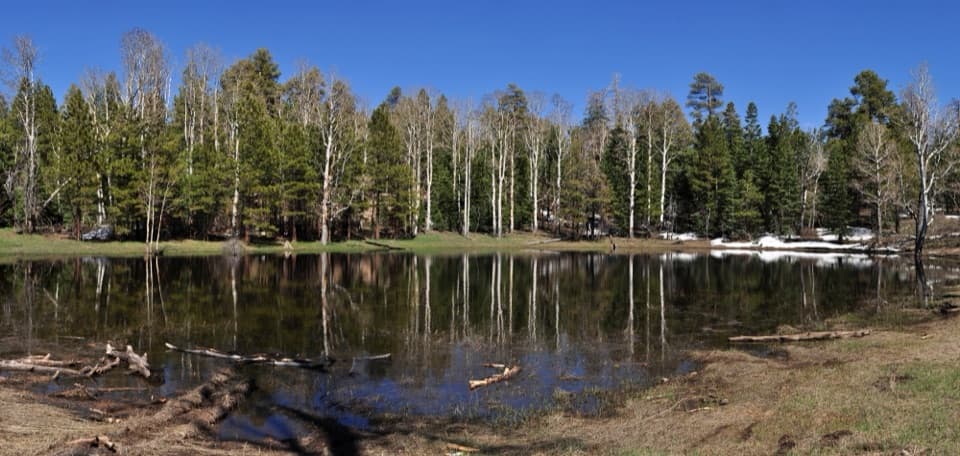 EasyGreenland Lake Trail0.3 mi · 45 min · 8.4 mi awayA quick detour from Cape Royal Road to Greenland Lake.
Parkwolf’s Grand Canyon ranking

The audio tour guide for the drive, plus offline maps, trails, and wildlife heatmaps for when the signal drops.