Parking
There is no road access or vehicle parking. Reach the Saddle Canyon campsite on river right near Colorado River mile 47.5 as part of a Colorado River trip; the trail starts at camp.
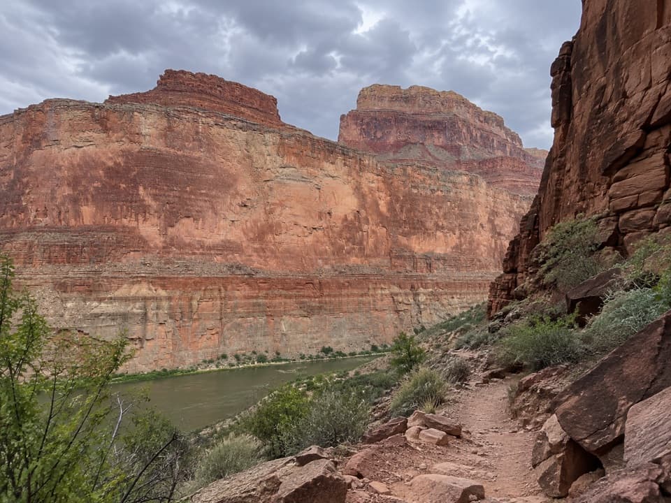
Grand Canyon National Park, AZ
A steep climb ends at a waterfall in a narrow side canyon
Overview
Saddle Canyon Trail is a steep out-and-back from a Colorado River camp at river mile 47.5, river right, to a small waterfall in the side canyon. The mapped route is about 1.4 miles one way, so count on roughly 2.8 miles round trip and about 1,100 feet of climbing. It is a memorable stop if your river trip leaves time for a wet, rough scramble; it is more than a quick leg stretch.
 Parkwolf’s verdictIs it for you?
Map & elevation
Plan your hike

The highest, rockiest slopes around here are a summer buffet for grizzly bears.
Grand Canyon Tour Guide
Parkwolf is a GPS audio tour guide for Grand Canyon National Park. As you drive, it chimes in with what’s ahead: hidden gems, upcoming stops, history, geology, and wildlife, right through your car’s speakers.
See the Grand Canyon audio tour“Fantastic app with many points of information… It’s great to just turn on while you’re driving and it gives you an audio tour of the national Park. We love it!!!!”


Trail guide
Leave from the river campsite and climb switchbacks up the canyon's left slope. The first 400 feet rise quickly, then the route eases before dropping into the creek canyon. Narrow ledges and steep, loose footing make the approach feel harder than the mileage suggests. Save energy for the climb back out and keep an eye on where the route turns into the canyon.
The upper canyon tightens around the creek. Wading becomes unavoidable, and a tricky boulder move leads around the first fall to the small waterfall at the end of the hike. Treat the falls as your turnaround; this line is not a through route. Ferns and ash grow where the water reaches, a sharp change from the dry canyon slopes. The smooth limestone benches and tight walls make the falls the best place to pause and look closely.
There is no road trailhead or vehicle parking: reach the campsite as part of a Colorado River trip. Noncommercial river travel through the park requires an NPS permit, so confirm your landing and timing with the trip leader. Plan about three to four hours, including time at the falls. Flash floods can run through side canyons in summer, especially in the afternoon; stay out when storms threaten. Pets are not allowed below the rim, except service animals.
Wildlife
 718 sightingsCalifornia CondorMost seen around 5 PMSighting map
 533 sightingsBighorn SheepMost seen around 7 AMSighting map
 169 sightingsAmerican BisonMost seen around 7 PMSighting map
 1,891 sightingsElkMost seen around 6 AMSighting map
 59 sightingsCoyoteMost seen around 6 PMSighting map
 27 sightingsGray FoxMost seen around 6 AMSighting map
Sighting maps show where each species has been reported across Grand Canyon. Wildlife moves, so no sighting is guaranteed.
Keep exploring
 ChallengingNankoweap Trail29 mi · 4 days · 3.8 mi awayA remote river descent for experienced canyon backpackers.
 ModerateNankoweap Granary Trail1.2 mi · 1 hr · 4.8 mi awayA steep river-camp climb to ancient granaries above the Colorado.
 ModeratePoint Imperial Trail5.2 mi · 2.8 hr · 7.8 mi awayA rim walk through the 2000 Outlet Fire burn.
 ChallengingSouth Canyon Trail to the Colorado River6.5 mi · 7.3 hr · 7.8 mi awayA rough Colorado River descent that needs a real exit plan.
 ChallengingKen Patrick Trail9.8 mi · 6 hr · 7.9 mi awayForest miles and big canyon views along the North Rim.
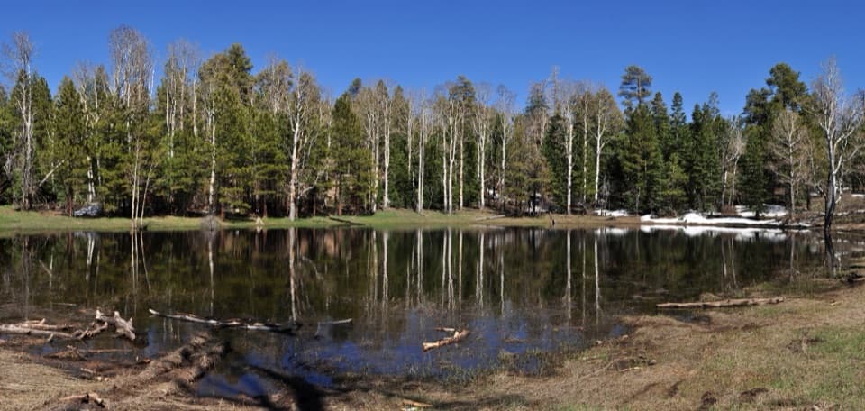 EasyGreenland Lake Trail0.3 mi · 45 min · 10.2 mi awayA quick detour from Cape Royal Road to Greenland Lake.
 ModerateKomo Point Trail10 mi · 4.5 hr · 10.7 mi awayFollow a fading old road to a remote canyon rim.
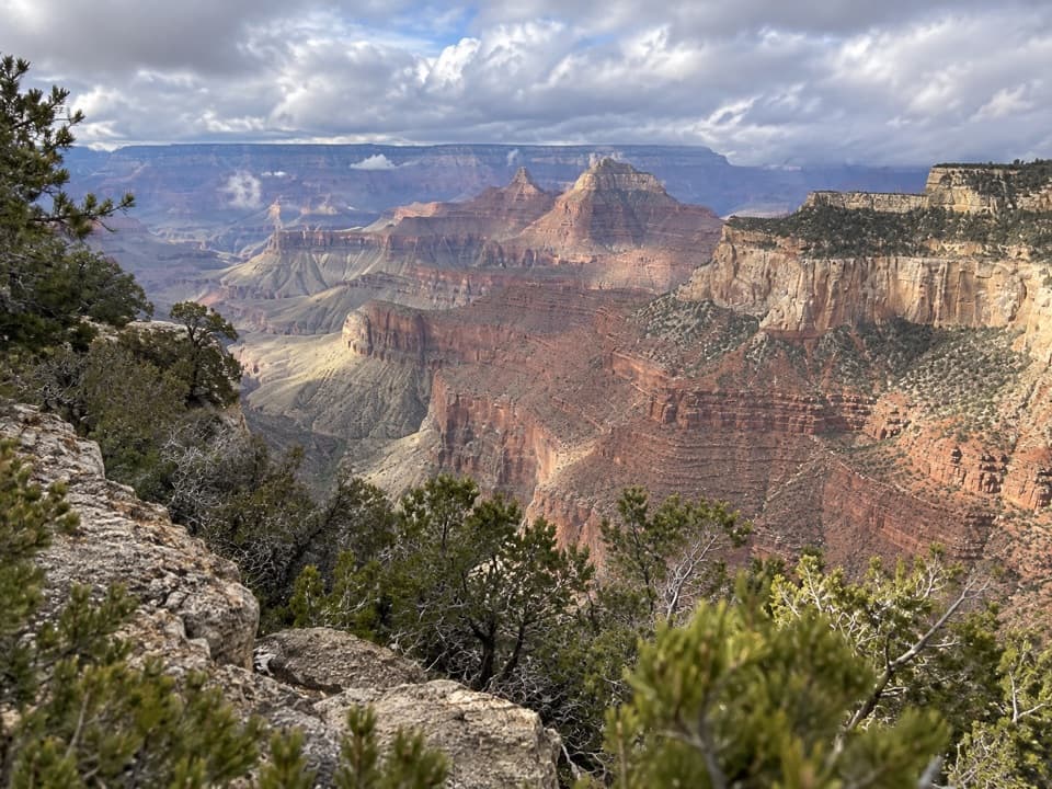 ChallengingAriel Point Trail12.2 mi · 6.5 hr · 10.7 mi awayA long North Rim walk to a rugged canyon projection.
Parkwolf’s Grand Canyon ranking
The audio tour guide for the drive, plus offline maps, trails, and wildlife heatmaps for when the signal drops.





