Challenging

Nankoweap Trail

Grand Canyon’s toughest trail to jaw-dropping views and granaries
Nankoweap Trail, Grand Canyon National Park
Distance11 mi
Typical time48 hr
DifficultyChallenging
PetsNot allowed

Why hike it

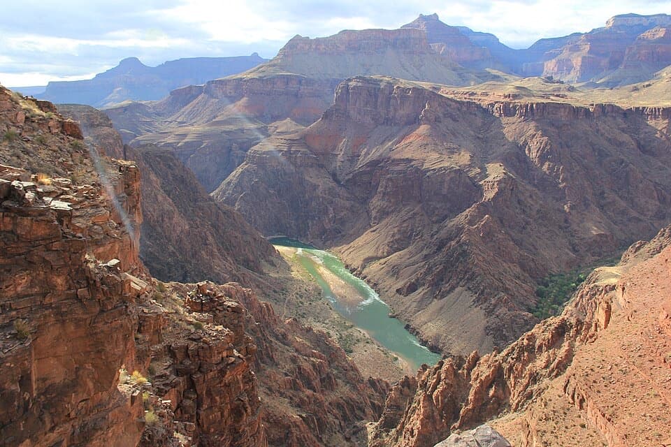
If you crave big, empty Grand Canyon country and don’t mind serious exposure, Nankoweap delivers a once‑in‑a‑lifetime rim‑to‑river journey. It’s widely regarded as the park’s most difficult named trail—remote, committing, and spectacular. Expect enormous views, cliffside traverses, and a finale at the historic Ancestral Puebloan granaries above the Colorado River.

Distances and commitment

From the signed junction on the North Rim, it’s about 11 miles one way to the river, dropping roughly 5,640–6,000 feet. Reaching that junction typically requires an additional 3–3.5‑mile approach through the Saddle Mountain Wilderness. Most parties backpack this route in 2–4 days; very strong teams may do one rim‑to‑river leg in a long day, but attempting the full out‑and‑back in a single day is strongly discouraged.

What it’s like out there

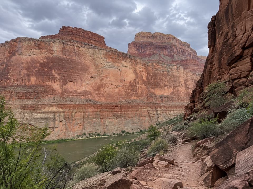
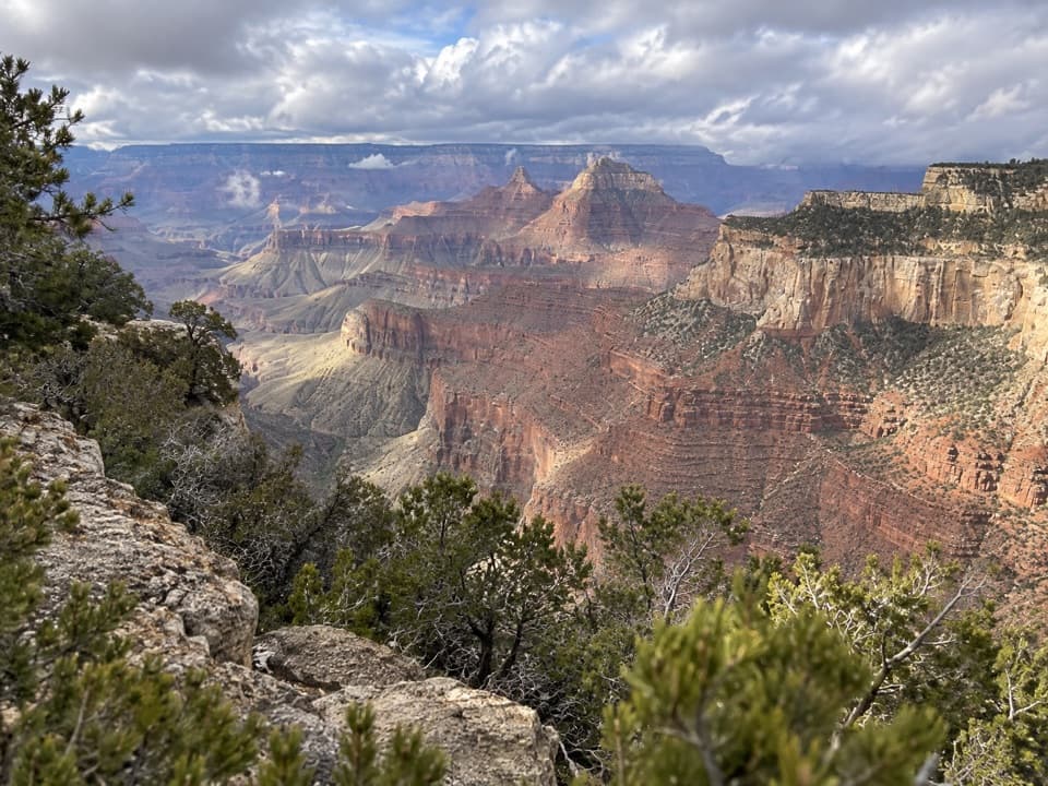
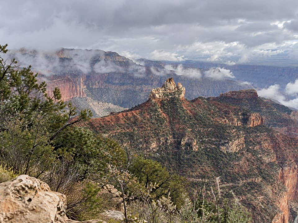
The upper miles are steep but relatively stable before the trail runs airy ledges and narrow benches with significant exposure—this is sustained cliffside travel where a slip could be serious. Past Tilted Mesa, the final 3 miles to Nankoweap Creek are infamously loose and steep. Scenery is nonstop: Supai‑red traverses, vast ridgelines, and a dramatic cross‑section of canyon geology (Redwall Limestone, Bright Angel Shale, Tapeats Sandstone, and more). At the bottom, Nankoweap Creek offers a lush ribbon of cottonwoods and year‑round water, and the short side trip to the granaries rewards with unbeatable river views and deep human history.

Water, camping, and hazards

Water is typically absent for the first ~11 miles; plan to carry everything you need until Nankoweap Creek and treat all sources. Camps exist near the creek—site carefully and avoid drainages in flash‑flood weather. Exposure, loose rock, and long stretches of narrow tread are constant; trekking poles help. Watch for snakes, especially around the creek.

History and geology

The route follows an ancient Paiute path improved in 1882 under John Wesley Powell and later used by geologist Charles Walcott. Near the river, the Nankoweap granaries—ancestral storage sites—are among the canyon’s most significant archaeological features. Underfoot you’ll notice pale sandstone giving way to red Supai ledges and classic Grand Canyon strata that create both the shelf‑like trail and its daunting drop‑offs.

Best time to hike

Spring (April–June) and fall (September–October) are the windows to target. Summer heat and the sheer lack of water make the trail dangerous; winter snow/ice can block North Rim access or make traverses treacherous. Start early to bank cool hours and daylight.

Permits, access, and who it’s for

Overnights require a Grand Canyon backcountry permit. Dogs are not allowed. Reaching the junction from the North Rim via the Saddle Mountain Wilderness is part of the commitment. This trail is for experienced, well‑prepared canyon hikers comfortable with exposure, route‑finding, and carrying significant water. If you want remote grandeur with real consequences, Nankoweap is hard to beat; if you’re newer to the canyon, consider an alternative before stepping up to this one.

Pro tips

  • Bring detailed topo maps for navigation.
  • Poles and grippy footwear pay off on the loose, sloped traverses.
  • Stage your descent with a planned camp between Marion Point and Tilted Mesa to break up the effort.

Pros

  • Access to the historic Nankoweap granaries with commanding river views
  • Rare solitude on one of the Grand Canyon’s most remote named trails

Cons

  • No reliable water until Nankoweap Creek (~11 miles down)
  • Sustained cliff exposure and very loose footing past Tilted Mesa

Parking

Park at the Saddle Mountain Wilderness trailhead on the North Rim, then hike a 3–3.5 mile approach to the signed Nankoweap Trail junction.

Caution

Extreme exposure with narrow, sloped tread; long waterless stretch to Nankoweap Creek; loose rock and steep descents, especially from Tilted Mesa; flash‑flood risk near the creek; remote and committing with limited rescue access.

The Parkwolf tour guide sitting on a phone mounted in a car

Parkwolf Tour Guide

Like a tour guide in your car.

Bring Grand Canyon trail research into the car, with offline maps and stories that play as you drive.Download Parkwolf on the App Store