Parking
No road-side parking; access is from the Unkar Delta river stop at mile 72.5, river right. The landing-to-loop connection isn't independently mapped.

Grand Canyon National Park, AZ
A short river loop passes ten ancestral Puebloan sites.
Overview
Map & elevation
Plan your hike

The highest, rockiest slopes around here are a summer buffet for grizzly bears.
Grand Canyon Tour Guide
Parkwolf is a GPS audio tour guide for Grand Canyon National Park. As you drive, it chimes in with what’s ahead: hidden gems, upcoming stops, history, geology, and wildlife, right through your car’s speakers.
See the Grand Canyon audio tourMore stories near here in the app
“Fantastic app with many points of information… It’s great to just turn on while you’re driving and it gives you an audio tour of the national Park. We love it!!!!”


Trail guide
Unkar Delta is a 0.9-mile loop across alluvial terraces and drainage channels by the Colorado River. The walk takes about 45 minutes and passes ten archaeological sites. Published distances vary slightly: one description gives 0.8 mile, while two route summaries give 0.9. That is only the walk; getting here means a river trip to mile 72.5 on the right bank. There is no road access.
The route is easy by distance, with about 100 feet of ascent and 80 feet of descent. It crosses terraces and drainages over mostly level but uneven ground. The interpretive path was developed to channel visits and protect the fragile desert around the remains, so stay on it. Exact directions from the river landing to the mapped loop start aren't published; follow your trip's landing instructions.
Unkar is the most extensive habitation site in the Colorado River corridor. Ancestral Puebloan people lived here mainly between AD 1050 and 1150. They farmed the fertile terraces and redirected creek water with small ditches; as the community grew, homes shifted to higher talus slopes to leave more room for crops. The delta has 52 identified sites, including 31 excavated in 1967 and 1968.
The interpretive loop passes ten sites. Foundations and potsherds may be visible, but archaeological material is protected by law. Don't pick anything up or wander off the developed route. This is an inner-canyon trail, where pets are prohibited. Private river travel requires a river permit; confirm that your authorized trip includes a stop at Unkar Delta.
Wildlife
 718 sightingsCalifornia CondorMost seen around 5 PMSighting map
 533 sightingsBighorn SheepMost seen around 7 AMSighting map
 169 sightingsAmerican BisonMost seen around 7 PMSighting map
 1,891 sightingsElkMost seen around 6 AMSighting map
 59 sightingsCoyoteMost seen around 6 PMSighting map
 27 sightingsGray FoxMost seen around 6 AMSighting map
Sighting maps show where each species has been reported across Grand Canyon. Wildlife moves, so no sighting is guaranteed.
Keep exploring
 ChallengingEscalante Route12 mi · 12 hr · 2.9 mi awayA 12-mile river traverse with exposed ledges and a Papago Wall climb.
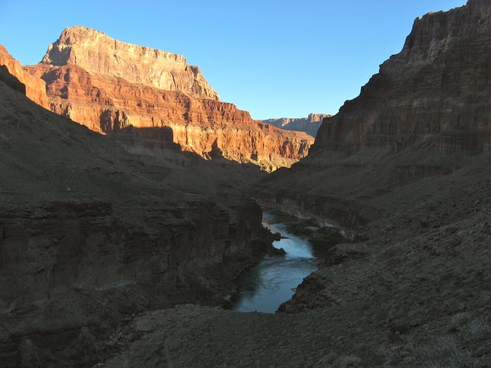 ChallengingBeamer Trail9.1 mi · 8 hr · 2.9 mi awayNine exposed miles to where the Little Colorado meets the Colorado.
 ChallengingTanner Trail9 mi · 7 hr · 3.4 mi awayA rough historic descent into the canyon’s wide, colorful east end.
 ChallengingTonto Trail95 mi · 3.7 days · 3.5 mi awayA 95-mile traverse along the canyon’s dry middle bench.
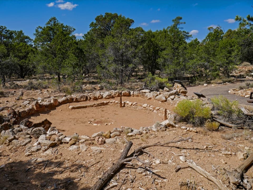 EasyTusayan Pueblo Self-guiding Trail0.1 mi · 20 min · 4.6 mi awayA quick loop around an ancestral Pueblo village and kiva.
 EasyCape Royal Trail0.8 mi · 1 hr · 5.2 mi awayAn easy paved walk to a natural arch and wide canyon views.
 ModerateCliff Springs Trail0.8 mi · 1.5 hr · 5.2 mi awayA short, steep walk to a spring beneath a red rock overhang.
 EasyWalhalla Glades Pueblo Trail0.2 mi · 15 min · 5.3 mi awayA short pine walk reveals a 900-year-old settlement.
 Sight · 3.4 mi awayLipan PointThe South Rim's longest look along the Colorado River.
 Sight · 3.5 mi awayNavajo PointSouth Rim's highest overlook, with river views and an aviation memorial.
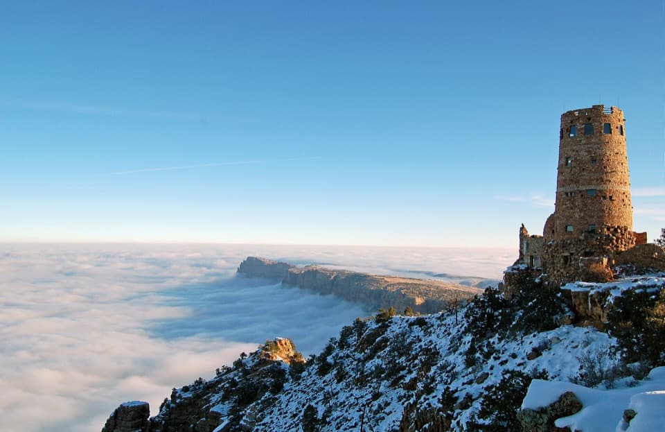 Sight · 3.6 mi awayDesert View WatchtowerColter’s stone tower frames the Colorado River from the South Rim.
 Store · 3.7 mi awayDesert View Trading Post and Ice CreamA canyon-facing scoop after browsing handmade crafts.
 Store · 3.7 mi awayDesert View Market & DeliQuick groceries, deli food and camping basics at Desert View.
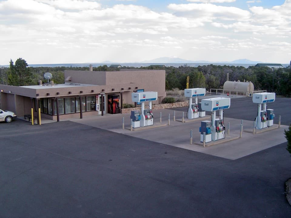 Gas station · 3.8 mi awayDesert View Gas StationFill up here before the next pump, 30 miles down the road.
 Entrance station · 3.9 mi awayDesert View Entrance StationEastern gate to Desert View, often less crowded than the South Entrance.
 Scenic pullout · 3.9 mi awayNo Name PointA quick stop for a far-reaching northward canyon view.
Parkwolf’s Grand Canyon ranking

The audio tour guide for the drive, plus offline maps, trails, and wildlife heatmaps for when the signal drops.




