Pros & cons
PROS
- Section-hike flexibility via multiple rim-to-river junctions
- Bench-level perspective with constant Inner Gorge and upper-canyon views
CONS
- Water sources are intermittent and often unreliable
- Tedious drainages and loose footing make mileage slower than it looks
- Day-use-only zone near Bright Angel constrains camping itineraries
Park at South Rim access points like Bright Angel, South Kaibab, Hermit, or Grandview, then hike down to the Tonto; there is no drive-up start or finish on the trail itself.
Extreme sun exposure and heat (summer not recommended). Water is scarce and seasonal—check current reports and carry ample capacity. Trail can be faint across drainages with loose, uneven footing. Flash-flood risk exists in side canyons. The Tipoff has toilets and an emergency phone but no water. A signed day-use-only, no-camping zone exists between the last crossings of Cremation Creek and the Bright Angel Trail.
The Tonto Trail is the Grand Canyon’s classic bench-level traverse—about 95 miles running east–west along the Tonto Platform, far below the rim and above the Colorado River. Instead of a quick rim-to-river out-and-back, this route strings together long, contouring miles with constant perspectives into the Inner Gorge and out across the upper canyon’s amphitheaters. It’s remote, committing, and unforgettable when you plan it right.
What you'll see
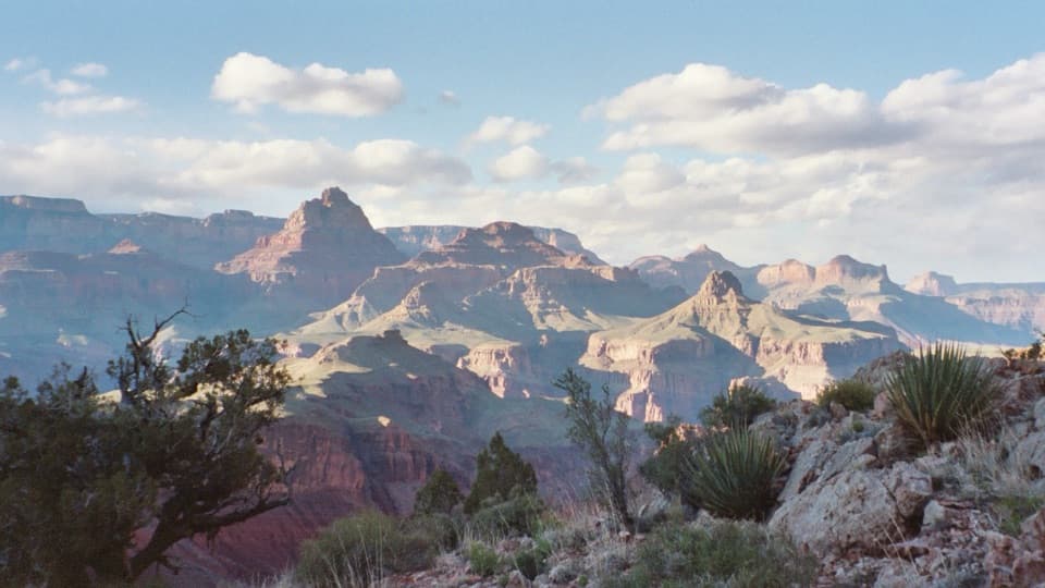
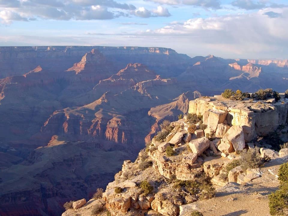
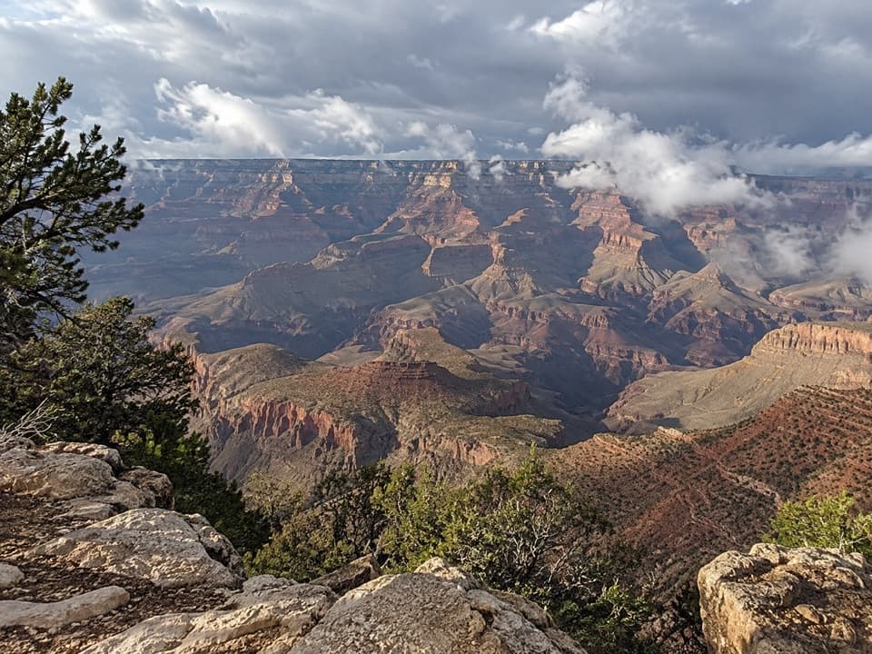
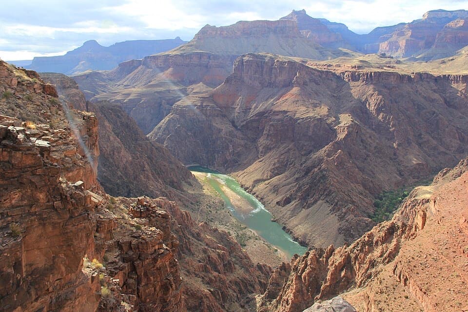
Expect wide-open panoramas, rolling benchland, and a steady rhythm of dipping in and out of side canyons. You’ll walk through green-tinged Tonto rocks and pockets of grassland, with occasional reeds and trees where drainages hold a bit of moisture. The geology show is front row: the Tonto Platform forms at the interface of Bright Angel Shale and Muav Limestone—softer and harder layers creating the “bench” you travel while sheer walls tower above and the Inner Gorge drops below. Notable waypoints and nearby features along various sections include Granite Rapids, Monument Creek, and views toward the Phantom Ranch area.
Trail experience
This is a true backcountry traverse—generally not steep on the platform itself, but rocky, uneven, and often tedious as you cross countless drainages with loose footing and occasional narrow benches. It’s usually quiet and lightly trafficked between junctions, delivering real solitude. You’ll access it via major South Rim trails like Bright Angel, South Kaibab, Hermit, and Grandview; the trail sits roughly 3,000 feet below the rim, so you must hike down to it and climb back out at a junction of your choosing. There’s no “drive-to” start or finish.
Logistics and regulations
Total length is roughly 95 miles point-to-point, but most hikers section-hike between corridor trail junctions. At the South Kaibab junction (the Tipoff), you’ll find pit toilets and an emergency phone (no water). A signed day-use-only, no-camping zone exists between the last crossings of Cremation Creek and the Bright Angel Trail—plan camps before or after this stretch. Overnight trips require a Grand Canyon backcountry permit.
Water and safety
Water is scarce and unreliable. Streams and creeks are intermittent and seasonal—check current reports before you go and carry the capacity to bridge long dry stretches. Shade is minimal and sun exposure is constant; summer heat makes this trail dangerous. Navigation is generally straightforward but can get faint across drainages and open benches, so carry detailed maps and know how to use them.
Best time to hike
Aim for spring (March–May) and fall (September–November) for milder temperatures and more reliable water. Summer is a hard no for most—extreme heat and no shade. Winter can work for experienced parties, but expect cold nights and the potential for icy conditions on the access trails.
Bottom line
If you want a wilderness-forward, inside-the-canyon experience with huge vistas and days of solitude, the Tonto delivers. It’s not beginner-friendly—water planning, exposure, and the sheer commitment are real. But for prepared backpackers, it’s a must-do perspective on the Grand Canyon that you simply don’t get from the rim.
Elevation
95 mi · 168 hrNear Tonto Trail
All places →All trails →
Hopi PointThe South Rim’s go-to sunset perch with sweeping river viewsScenic Viewpoint
Mather PointThe South Rim’s classic, easy overlook with big sunrise and sunset viewsScenic Viewpoint · Parking
Cape RoyalNorth Rim’s widest panorama with Angel’s Window en routeTrailhead · Restroom
Desert View WatchtowerMary Colter tower with murals and sweeping canyon-to-desert viewsRestroom · Parking
South Kaibab TrailGrand Canyon’s ridgeline stunner with nonstop views and a steep, dry plungeChallenging · 7 mi · 5.5 hr
Bright Angel TrailThe canyon’s classic descent with water stops and all-day viewsChallenging · 9.5 mi · 10.5 hr
North Kaibab TrailGrand Canyon’s quietest rim-to-river epic from the North RimChallenging · 14 mi · 12 hr
Deer Creek TrailHard North Rim trek to Deer Creek narrows and 180-foot fallsChallenging · 23 mi · 48 hr