Parking
From Desert View Drive, turn onto the Tusayan Ruin and Museum access road. Park in the site lot beside the museum; the self-guiding path begins just beyond the parking area.
Grand Canyon National Park, AZ
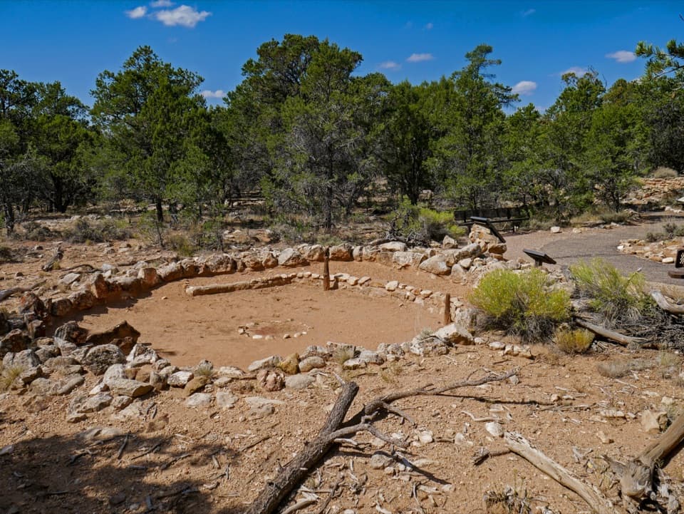
A quick loop around an ancestral Pueblo village and kiva.
Overview
Map & elevation
Plan your hike

The highest, rockiest slopes around here are a summer buffet for grizzly bears.
Grand Canyon Tour Guide
Parkwolf is a GPS audio tour guide for Grand Canyon National Park. As you drive, it chimes in with what’s ahead: hidden gems, upcoming stops, history, geology, and wildlife, right through your car’s speakers.
See the Grand Canyon audio tourRecorded for this trailhead
Tusayan Pueblo’s Village Plan“You're approaching Tusayan Pueblo, a good short stop for seeing how an Ancestral Pueblo village was laid out. Allow about twenty minutes for the short, fairly level loop past low room walls and a circular kiva.”
Plays as you drive up to this trailhead in the Parkwolf Grand Canyon Tour Guide.
More stories near here in the app
“Fantastic app with many points of information… It’s great to just turn on while you’re driving and it gives you an audio tour of the national Park. We love it!!!!”


Trail guide
The Tusayan Pueblo Self-guiding Trail is a roughly 0.12-mile (200 m), relatively flat loop around a small ancestral Pueblo village, past partial room walls and a circular kiva. Allow about 20 minutes to walk slowly and read the panels. The path has paved and gravel sections. It’s a worthwhile short stop if you want to see the site up close; it’s not a canyon hike.
The low walls trace rooms and storage spaces; the kiva sits beside the visitor path. Tree-ring dating points to construction beginning around 1185 CE, and the community appears to have lived here for about twenty years. The people who lived here are ancestors of modern Hopi and Pueblo communities.
The plaza faces south, and on a clear day you can see the San Francisco Peaks beyond the village. Keep the room outlines in the foreground if you want to frame that view. A site map also shows a path toward the former farming area, where check dams and terraces caught scarce rain; that uncertain extension is not included in the short loop mapped here.
The site is on Desert View Drive, about three miles west of Desert View. Parking is beside the museum, with the trail entrance just beyond it. Access is seasonal and depends on weather and staffing, so check the park’s current schedule before making the drive. Leashed pets are allowed on South Rim trails above the rim; keep dogs on a leash no longer than six feet. Stay on the marked path: walking off trail or disturbing the walls is illegal and damages the site.
Wildlife
 718 sightingsCalifornia CondorMost seen around 5 PMSighting map
 533 sightingsBighorn SheepMost seen around 7 AMSighting map
 169 sightingsAmerican BisonMost seen around 7 PMSighting map
 1,891 sightingsElkMost seen around 6 AMSighting map
 59 sightingsCoyoteMost seen around 6 PMSighting map
 27 sightingsGray FoxMost seen around 6 AMSighting map
Sighting maps show where each species has been reported across Grand Canyon. Wildlife moves, so no sighting is guaranteed.
Keep exploring
 ChallengingTanner Trail9 mi · 7 hr · 1.6 mi awayA rough historic descent into the canyon’s wide, colorful east end.
 ChallengingTonto Trail95 mi · 3.7 days · 3.7 mi awayA 95-mile traverse along the canyon’s dry middle bench.
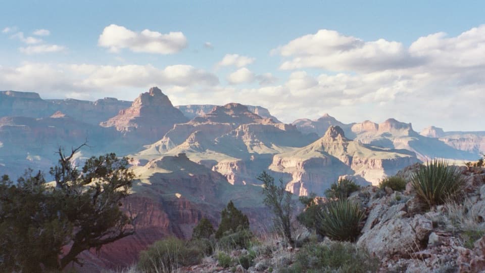 ChallengingNew Hance Trail6.5 mi · 8 hr · 4.2 mi awayA steep, rough descent through Red Canyon to Hance Rapids.
 EasyUnkar Delta Loop0.9 mi · 45 min · 4.6 mi awayA short river loop passes ten ancestral Puebloan sites.
 ChallengingEscalante Route12 mi · 12 hr · 6.4 mi awayA 12-mile river traverse with exposed ledges and a Papago Wall climb.
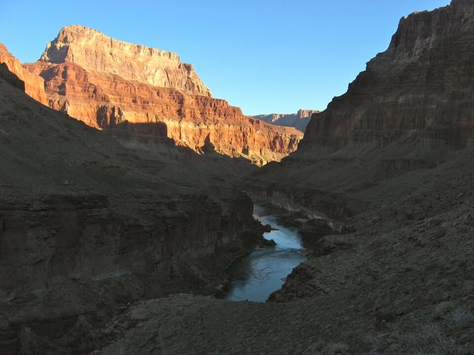 ChallengingBeamer Trail9.1 mi · 8 hr · 6.4 mi awayNine exposed miles to where the Little Colorado meets the Colorado.
 ChallengingCottonwood Creek Trail from Grandview Point9 mi · 11 hr · 6.8 mi awayThe historic route drops from the rim to an inner canyon creek.ChallengingHance Creek Trail9.8 mi · 11 hr · 6.8 mi awayA steep, exposed descent to Hance Creek with a long climb back
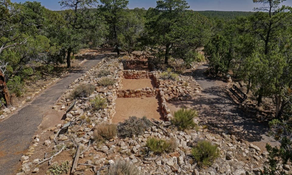 Sight · At the trailheadTusayan Pueblo SiteSee the plan of an Ancestral Pueblo village on a short loop
 Scenic pullout · 1 mi awayNo Name PointA quick stop for a far-reaching northward canyon view.
 Sight · 1.6 mi awayLipan PointThe South Rim's longest look along the Colorado River.
 Sight · 2.4 mi awayNavajo PointSouth Rim's highest overlook, with river views and an aviation memorial.
 Entrance station · 2.5 mi awayDesert View Entrance StationEastern gate to Desert View, often less crowded than the South Entrance.
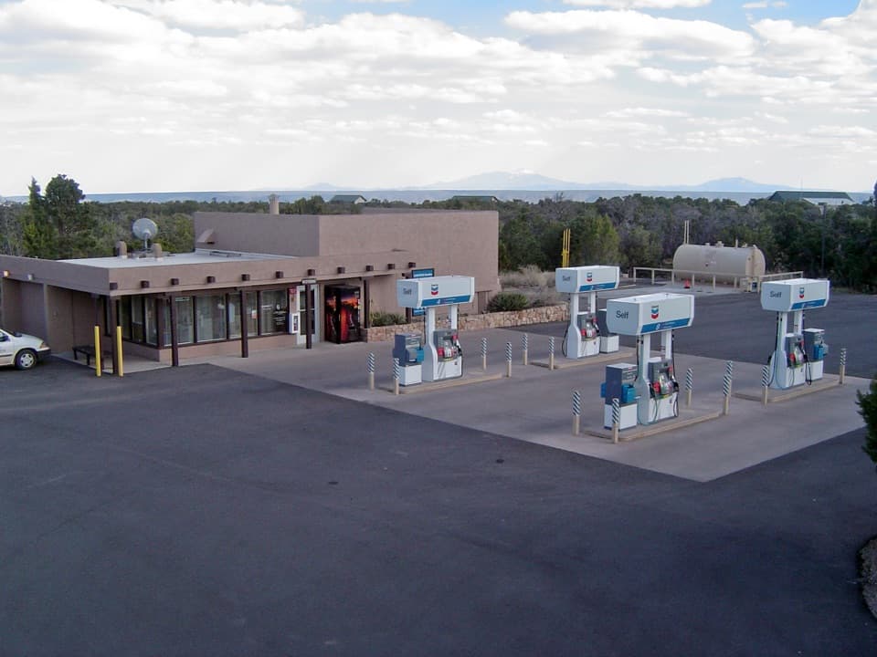 Gas station · 2.9 mi awayDesert View Gas StationFill up here before the next pump, 30 miles down the road.
 Campground · 3 mi awayDesert View CampgroundCamp among junipers, then walk to the rim for sunrise.
 Store · 3.1 mi awayDesert View Trading Post and Ice CreamA canyon-facing scoop after browsing handmade crafts.
Parkwolf’s Grand Canyon ranking

The audio tour guide for the drive, plus offline maps, trails, and wildlife heatmaps for when the signal drops.




