
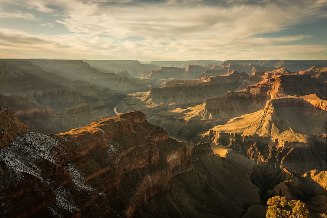
All Grand Canyon trails
73 trails
 1Rim-to-Rim: North Kaibab to Bright AngelA point-to-point crossing from North Rim forest to the South Rim.
 2South Kaibab TrailA steep ridge descent with a first river view at Skeleton Point.
 3Bright Angel TrailCanyon layers, mule trains and a 4,400-foot descent to the river.
 4Rim TrailThe full 12.8-mile rim walk, easiest to sample by shuttle.
 5Rim-to-Rim: South Kaibab to North KaibabA one-way canyon crossing from the South Rim to the North Rim.
 6Cape Royal TrailAn easy paved walk to a natural arch and wide canyon views.7South Kaibab–Bright Angel LoopA 15.8-mile canyon traverse from South Kaibab to the Bright Angel rim.
 8The Trail of TimeA paved timeline where every meter spans a million years.
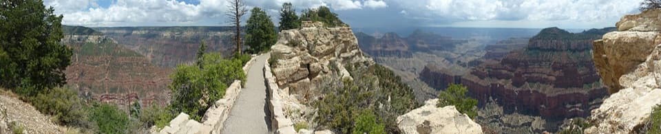 9Bright Angel Point TrailA half-mile to a narrow, exposed point over the canyon
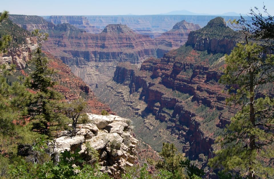 10Widforss TrailForest miles open into wide canyon views at Widforss Point.
 11Plateau Point TrailA long descent earns a wide view of the Colorado River.
 12Cape Final TrailA pine walk ends at an open rocky point above the canyon.
 13Grandview Trail to Horseshoe MesaA steep 1893 mining route reaches a mesa deep below the rim.
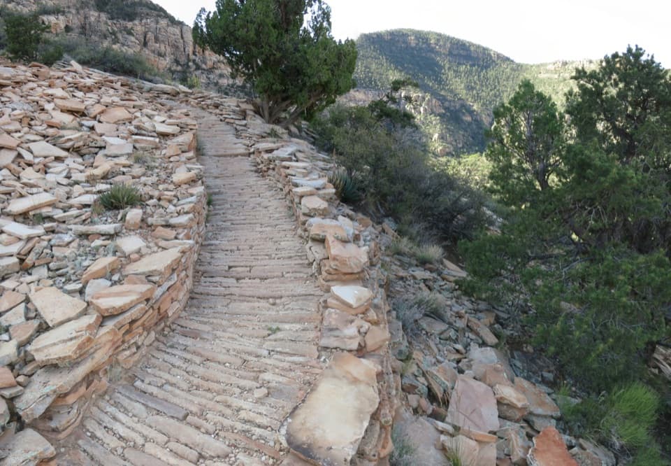 14Hermit TrailA rough historic rim-to-river route that ends at Hermit Rapids.
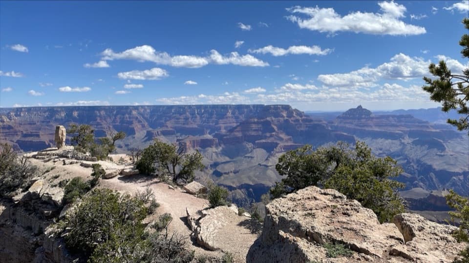 15Shoshone Point TrailPines open to a rugged rim point with a North Rim view.
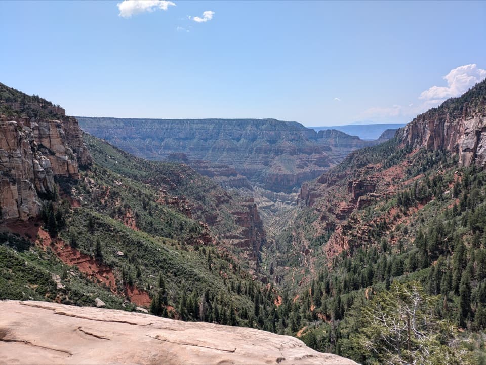 16North Kaibab TrailA steep, forested 14.2-mile descent to the Colorado River.
 17Horseshoe Mesa LoopA rugged rim-to-mesa circuit with mining history and exposed ledges.
 18Cliff Springs TrailA short, steep walk to a spring beneath a red rock overhang.
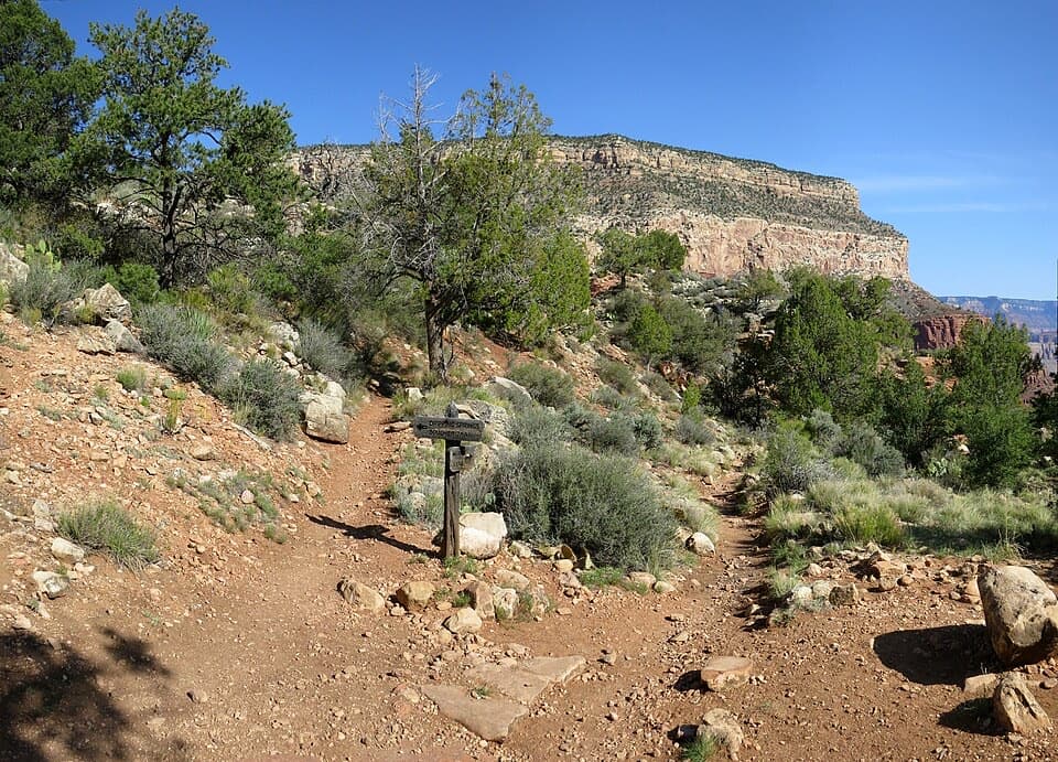 19Dripping Springs TrailA steep canyon walk to Louis Boucher’s old spring camp.
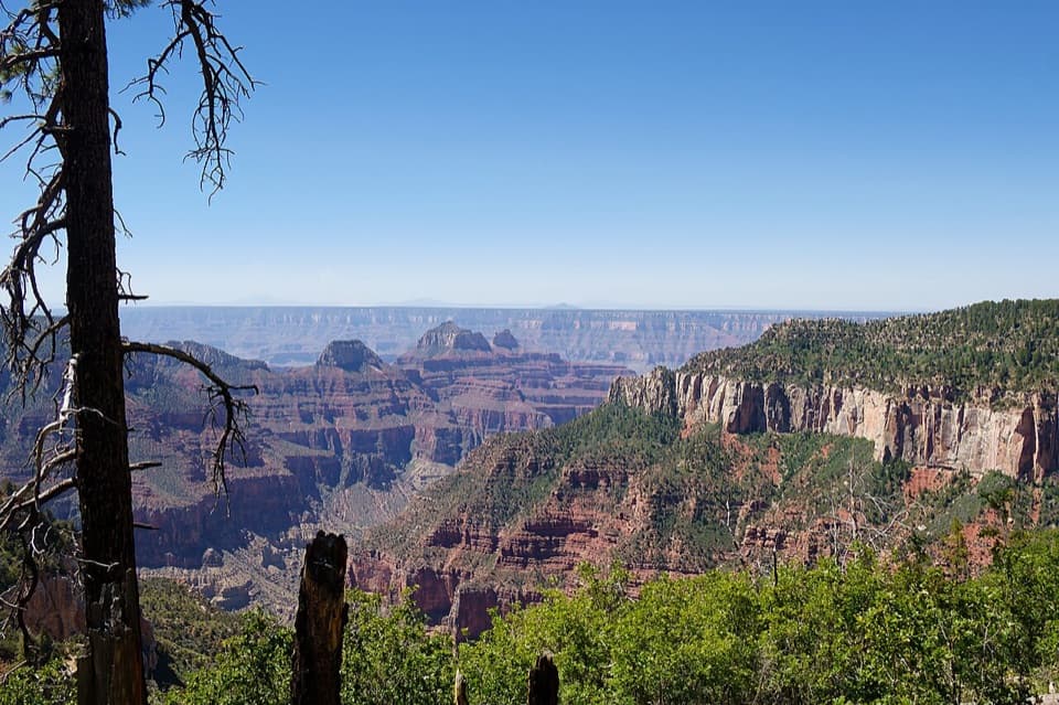 20Uncle Jim TrailA forest loop with a wide view down Bright Angel Canyon.
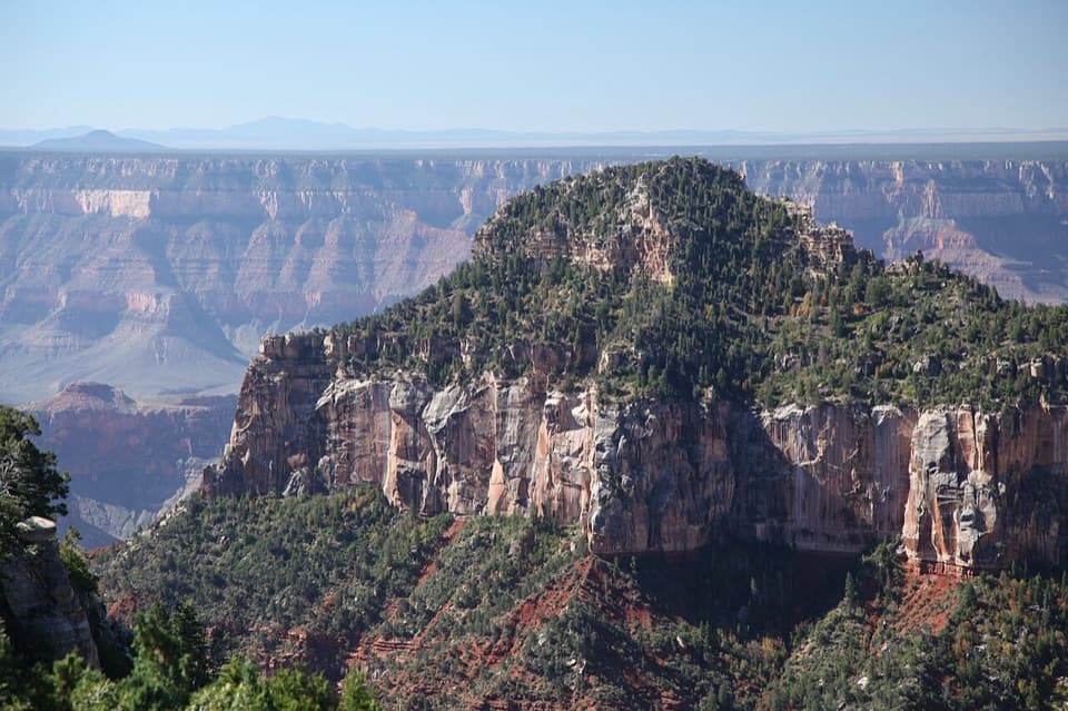 21Transept TrailFollow pine shade to overlooks above a deep side canyon.
 22Roosevelt Point TrailA woodland loop opens to the Painted Desert and canyon views.
 23Thunder River–Deer Creek LoopA strenuous three-day loop linking Thunder River and Deer Creek.
 24Clear Creek TrailAn exposed, full-day traverse across the Tonto Platform to Clear Creek.
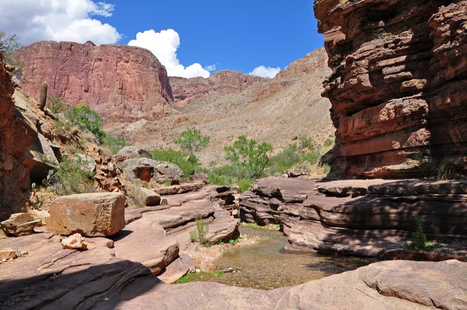 25Deer Creek Trail to Deer Creek FallsA long rim-to-river hike to Deer Creek Falls
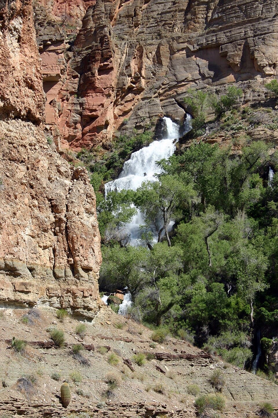 26Thunder River Trail from Indian HollowA rugged backcountry drop to Thunder River's spring-fed cascades
 27Nankoweap TrailA remote river descent for experienced canyon backpackers.
 28Tanner TrailA rough historic descent into the canyon’s wide, colorful east end.
 29Escalante RouteA 12-mile river traverse with exposed ledges and a Papago Wall climb.
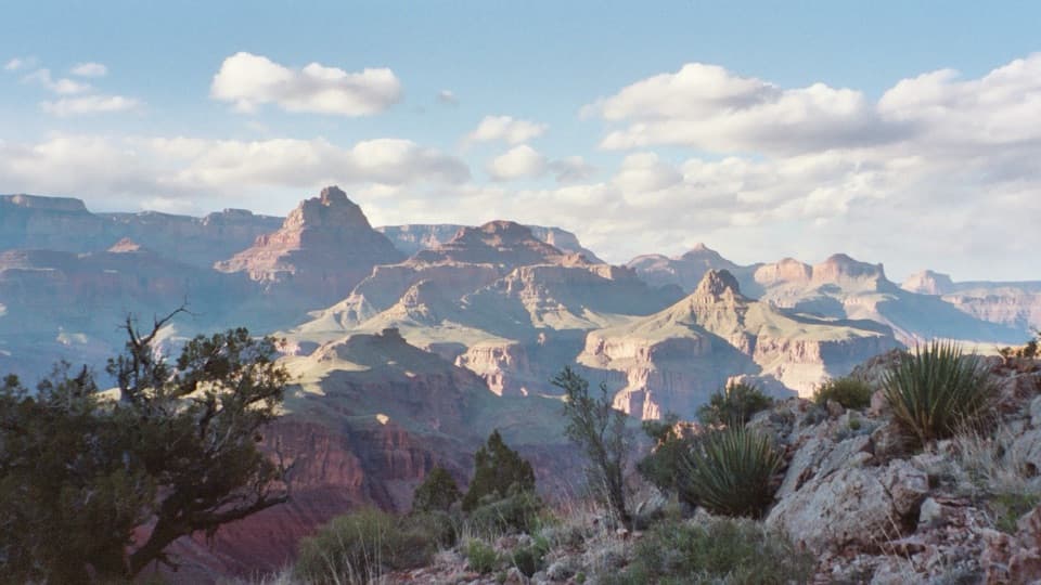 30New Hance TrailA steep, rough descent through Red Canyon to Hance Rapids.
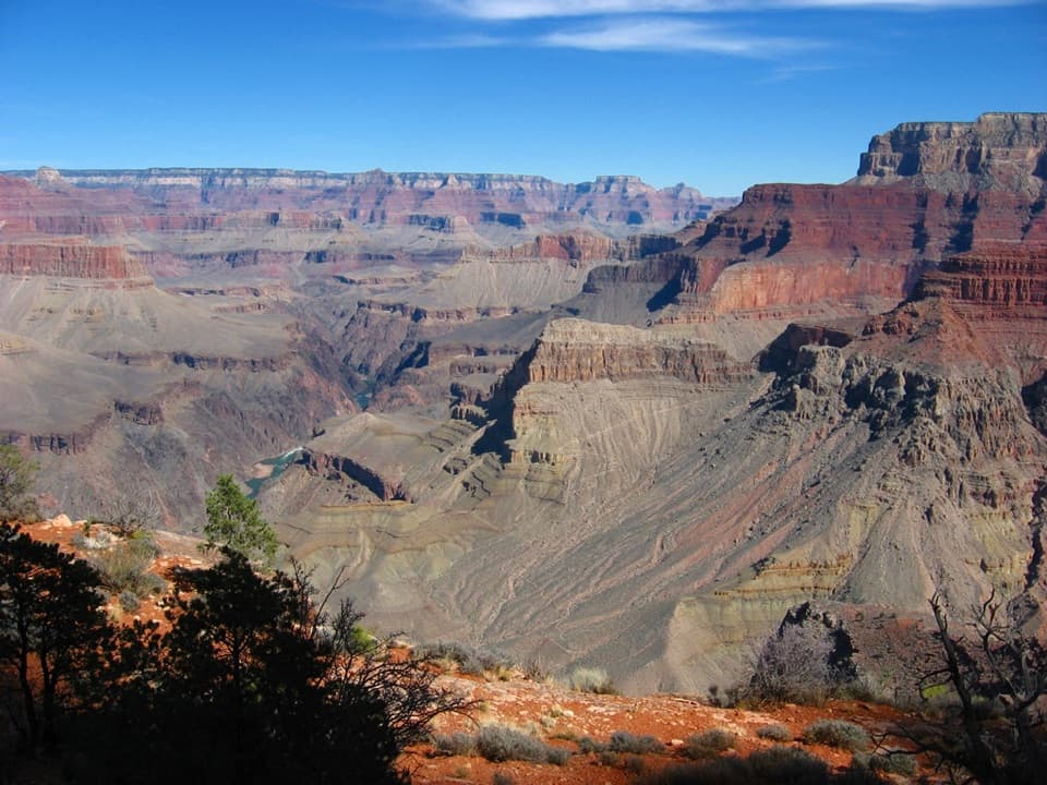 31Boucher TrailSteep canyon miles to a prospector’s old creekside camp.
 32Tonto TrailA 95-mile traverse along the canyon’s dry middle bench.
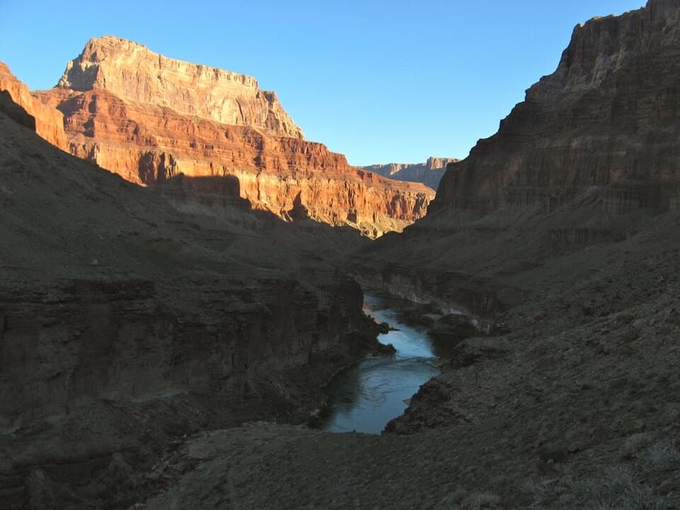 33Beamer TrailNine exposed miles to where the Little Colorado meets the Colorado.
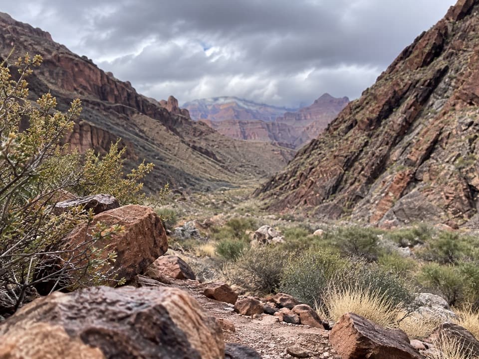 34South Bass TrailA 15-mile rim-to-river route with a 4,400-foot climb back.
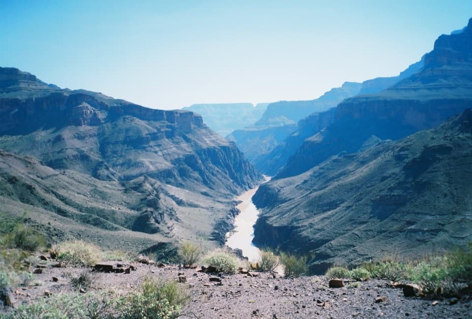 35North Bass TrailA 13.5-mile one-way descent to the Colorado River.
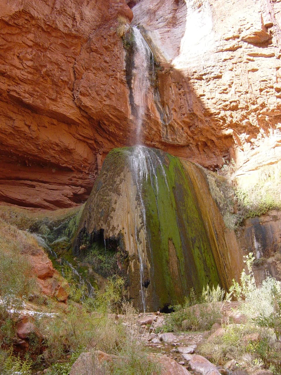 36Ribbon Falls Trail from Cottonwood CampgroundA short inner-canyon walk to a spring-fed travertine waterfall
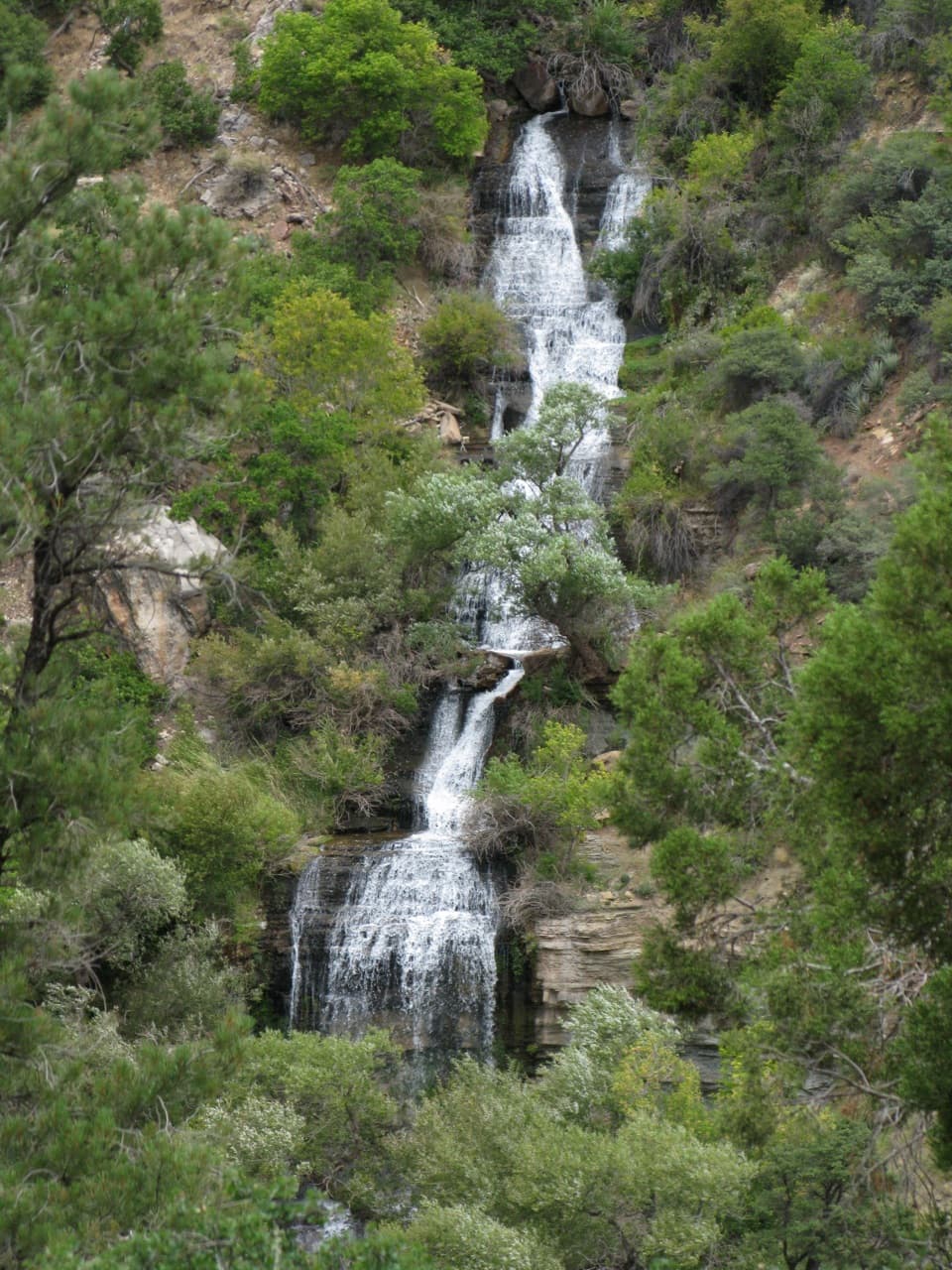 37Roaring Springs TrailA strenuous North Rim descent reaches a spring pouring from the cliffs.
 38Nankoweap Granary TrailA steep river-camp climb to ancient granaries above the Colorado.39Tapeats Creek to Deer Creek TraverseA full-day river traverse links Thunder River with Deer Creek.
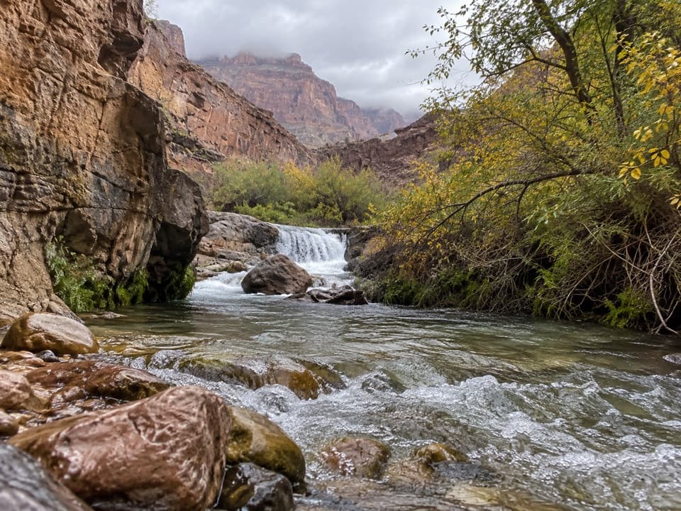 40Tapeats Creek TrailA green canyon corridor with two serious creek crossings.
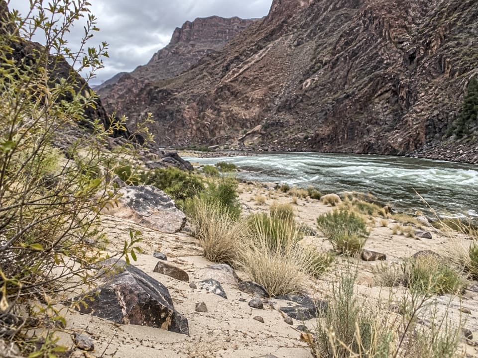 41Monument Creek TrailA steep backcountry descent from Monument Creek to Granite Rapids.
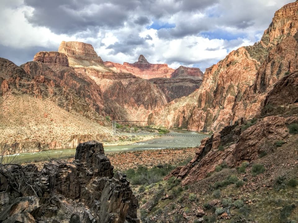 42River TrailA river-level connector beneath steep inner-canyon walls.
 43Point Imperial TrailA rim walk through the 2000 Outlet Fire burn.
 44Ken Patrick TrailForest miles and big canyon views along the North Rim.
 45Tuckup Trail to Cove CanyonOpen Esplanade slickrock leads to wide Cove Canyon views.
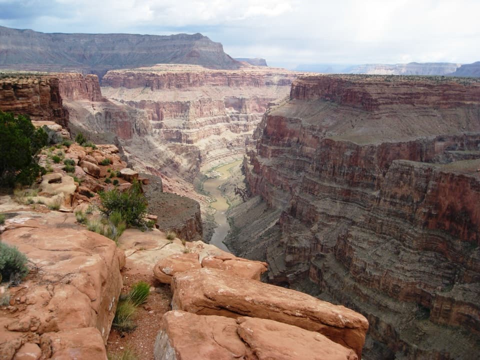 46Saddle Horse Loop TrailFollow cairns across slickrock to a broad Colorado River view.
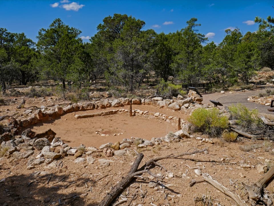 47Tusayan Pueblo Self-guiding TrailA quick loop around an ancestral Pueblo village and kiva.
 48Walhalla Glades Pueblo TrailA short pine walk reveals a 900-year-old settlement.
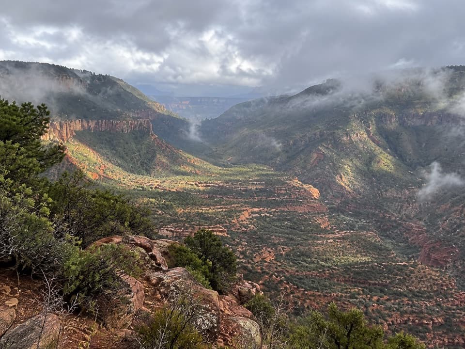 49Bill Hall TrailA rugged descent to the Esplanade with a 15-foot scramble.
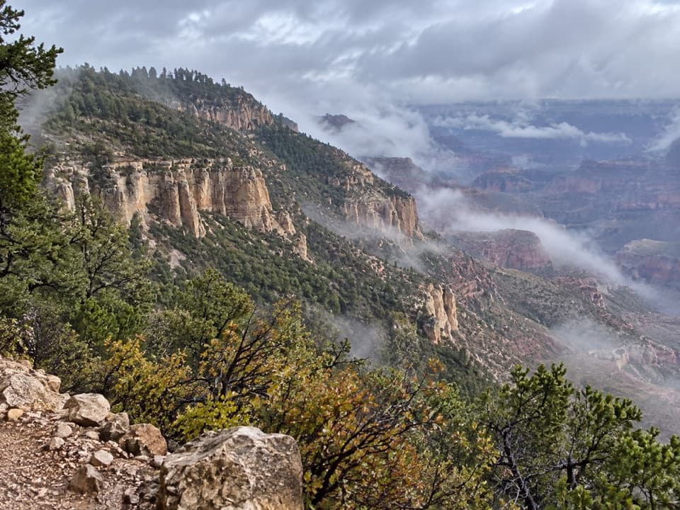 50Powell Plateau TrailA remote plateau hike with canyon views and a faint, demanding tread
 51Cottonwood Creek Trail from Grandview PointThe historic route drops from the rim to an inner canyon creek.52Hance Creek TrailA steep, exposed descent to Hance Creek with a long climb back
 53Unkar Delta LoopA short river loop passes ten ancestral Puebloan sites.
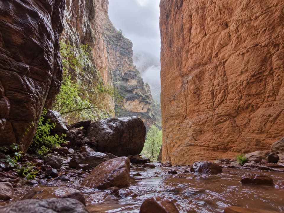 54Stone Creek TrailA short river stop for a fern-lined waterfall refuge.
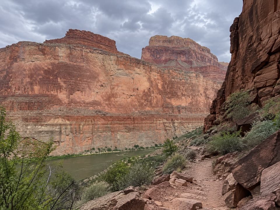 55Saddle Canyon TrailA steep climb ends at a waterfall in a narrow side canyon
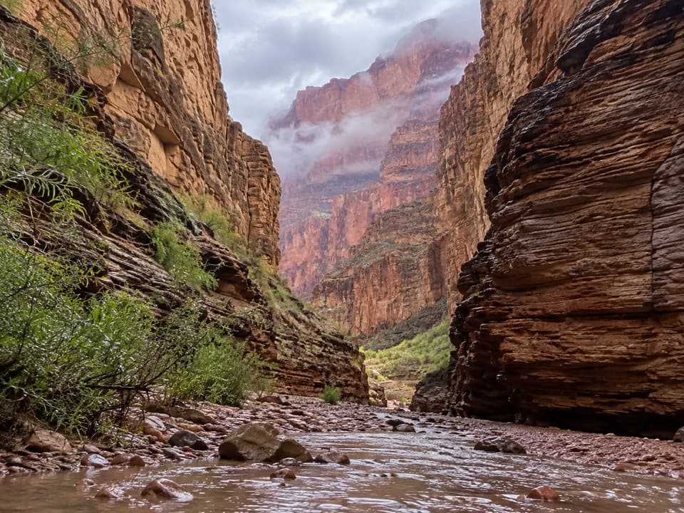 56National Canyon (River Access)A short river-side walk to limestone narrows and pools.
 57Clear Creek (from the Colorado River)A river beach, schist scramble and a waterfall that throws water sideways.
 58South Canyon Trail to the Colorado RiverA rough Colorado River descent that needs a real exit plan.
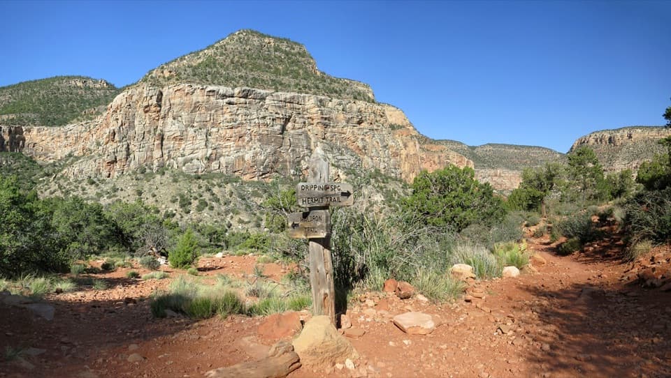 59Waldron Trail via Hermit TrailA steep descent, a quiet canyon crossing, then a switchback climb out.
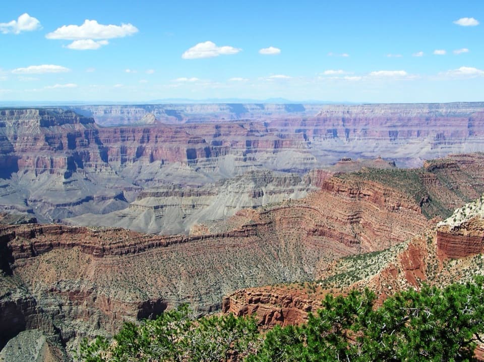 60Tiyo Point TrailA long forest walk to a North Rim canyon viewpoint.
 61Arizona Trail Passage 39: Grand Canyon – North RimA high forest traverse with a canyon overlook at the North Rim
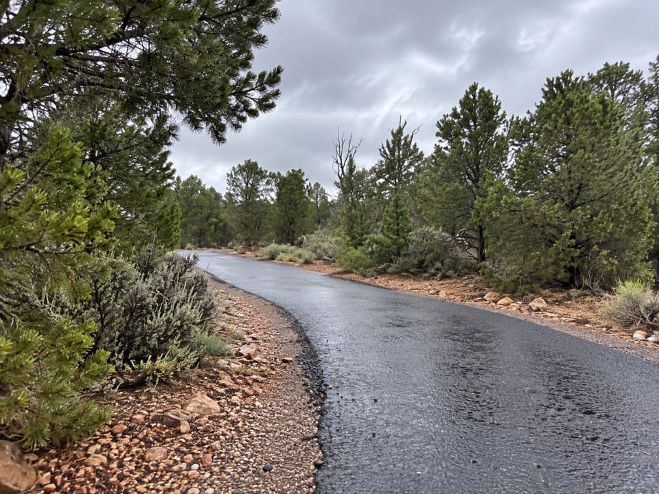 62Tusayan Greenway TrailA paved climb from Tusayan to the South Rim visitor center.
 63Old Bright Angel Trail LoopAn overgrown canyon loop for hikers comfortable finding their own way.
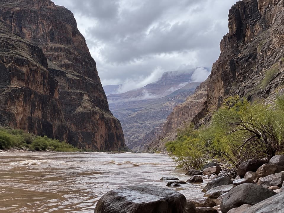 64Lava Falls TrailA steep, loose descent to the Colorado through volcanic canyon country.
 65Francois Matthes TrailA long former road to a brush-framed North Rim overlook.
 66Komo Point TrailFollow a fading old road to a remote canyon rim.
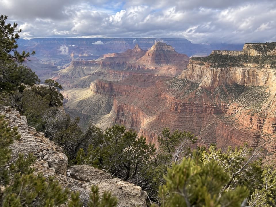 67Ariel Point TrailA long North Rim walk to a rugged canyon projection.
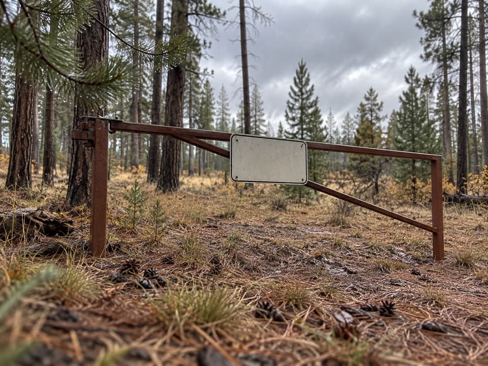 68Walhalla Glades TrailA 15-mile out-and-back on Walhalla Plateau's old road.
 69Walhalla Spur TrailA remote, rough forest track across the Walhalla Plateau.
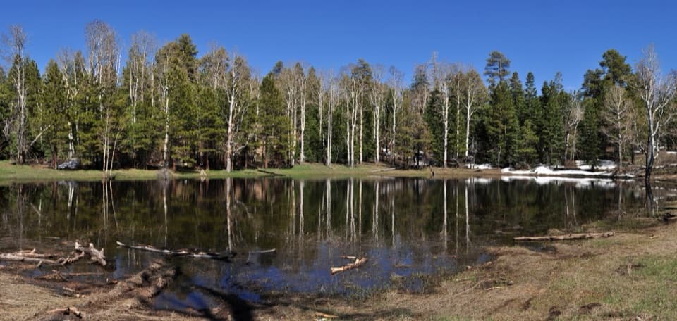 70Greenland Lake TrailA quick detour from Cape Royal Road to Greenland Lake.
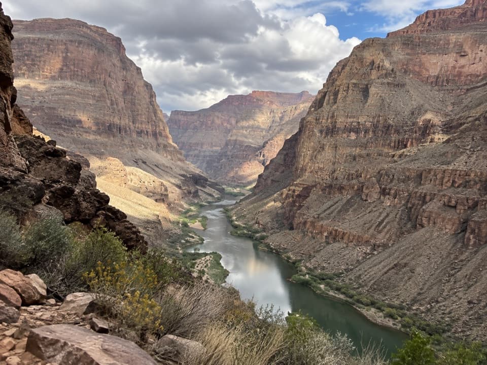 71Whitmore TrailA steep river-to-rim climb for Colorado River trips.
 72Schmutz Spring TrailA steep 1,300-foot descent into Tuckup, with a long dirt-road drive.
 73Bridle PathA short, hard-packed connector from North Kaibab to the former lodge lot.

The highest, rockiest slopes around here are a summer buffet for grizzly bears.
Grand Canyon Tour Guide
Grand Canyon, narrated.
Parkwolf is a GPS audio tour guide for Grand Canyon National Park. As you drive, it chimes in with what’s ahead: hidden gems, upcoming stops, history, geology, and wildlife, right through your car’s speakers.
See the Grand Canyon audio tourRecorded for this place
Mather Point and Visitor Center0:00 / 0:32
“You're coming up on the Grand Canyon Visitor Center and the walk to Mather Point. For a big canyon view without a hike, this is an easy choice: park in the visitor-center lots and walk about five minutes to the rim.”
Plays as you drive up to Mather Point in the Parkwolf Grand Canyon Tour Guide.
More stories near here in the app
- Yavapai Geology Museum
- Trailer Village’s Full-Hookup RV Sites
- Market Plaza’s Grocery Stop
- Pioneer Cemetery and the Shrine
- 79 audio storiesacross Grand Canyon’s roads, triggered by GPS as you drive
- Wildlife heatmapsfor California Condor, Bighorn Sheep, American Bison, and 13 more
- Works offlinemaps, 73 trails, 96 places, and audio download before you lose signal
- CarPlay readysimple controls built for the drive
“Fantastic app with many points of information… It’s great to just turn on while you’re driving and it gives you an audio tour of the national Park. We love it!!!!”

