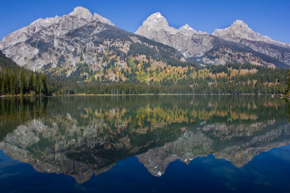
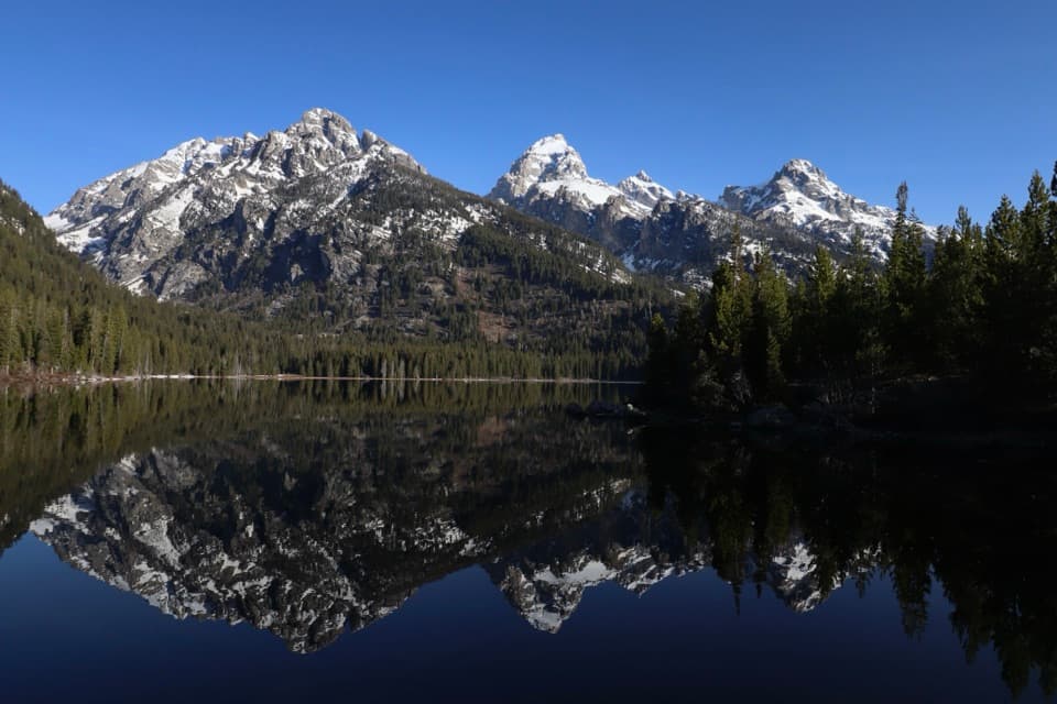
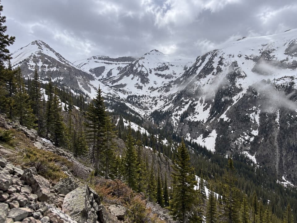
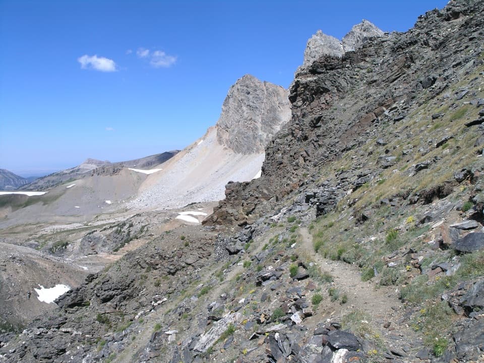
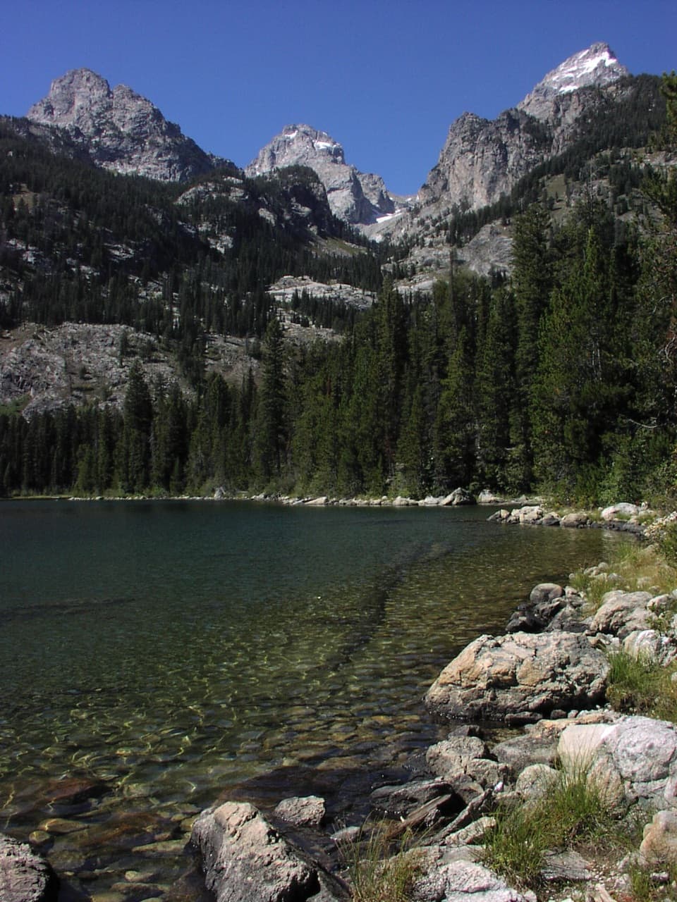
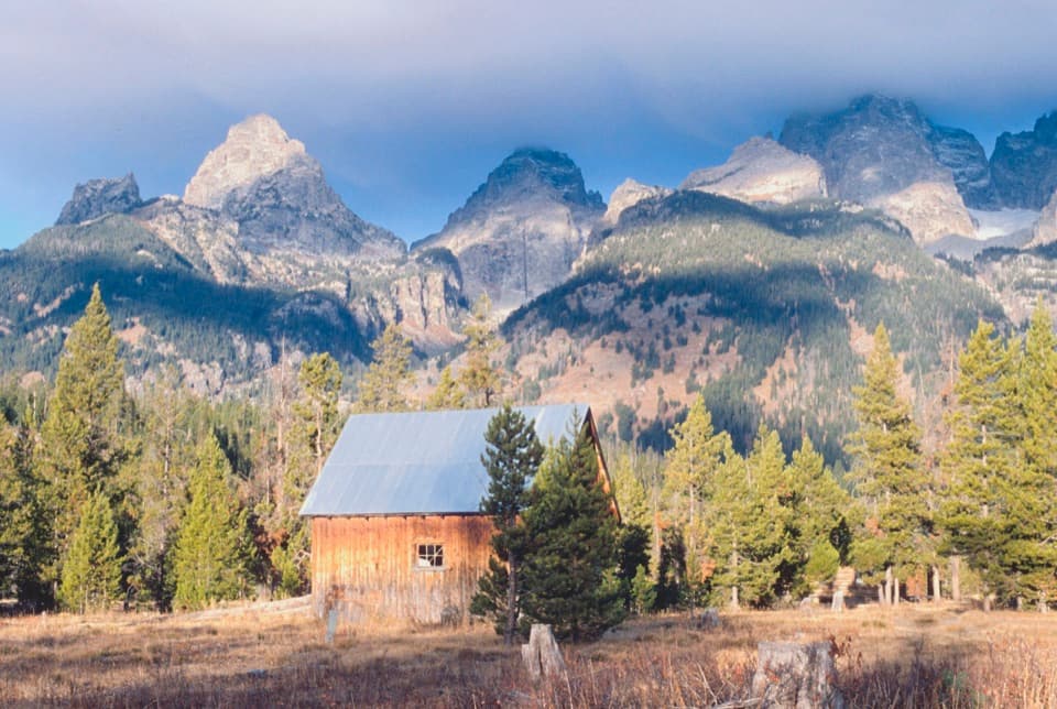
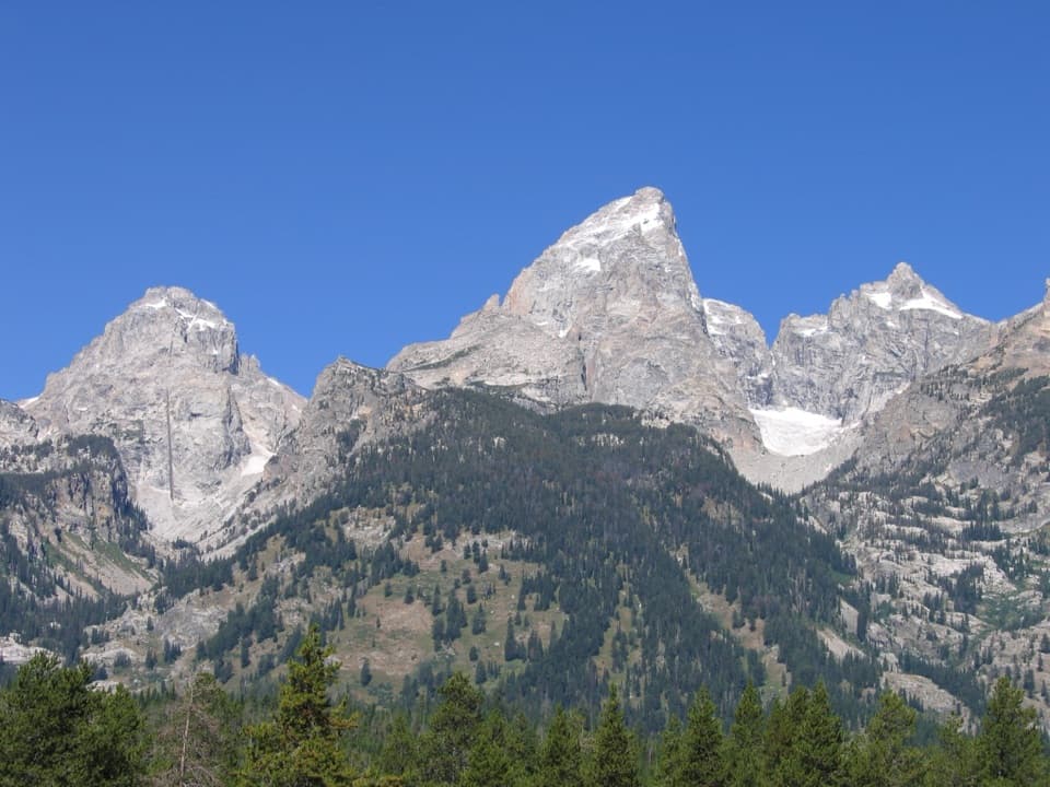
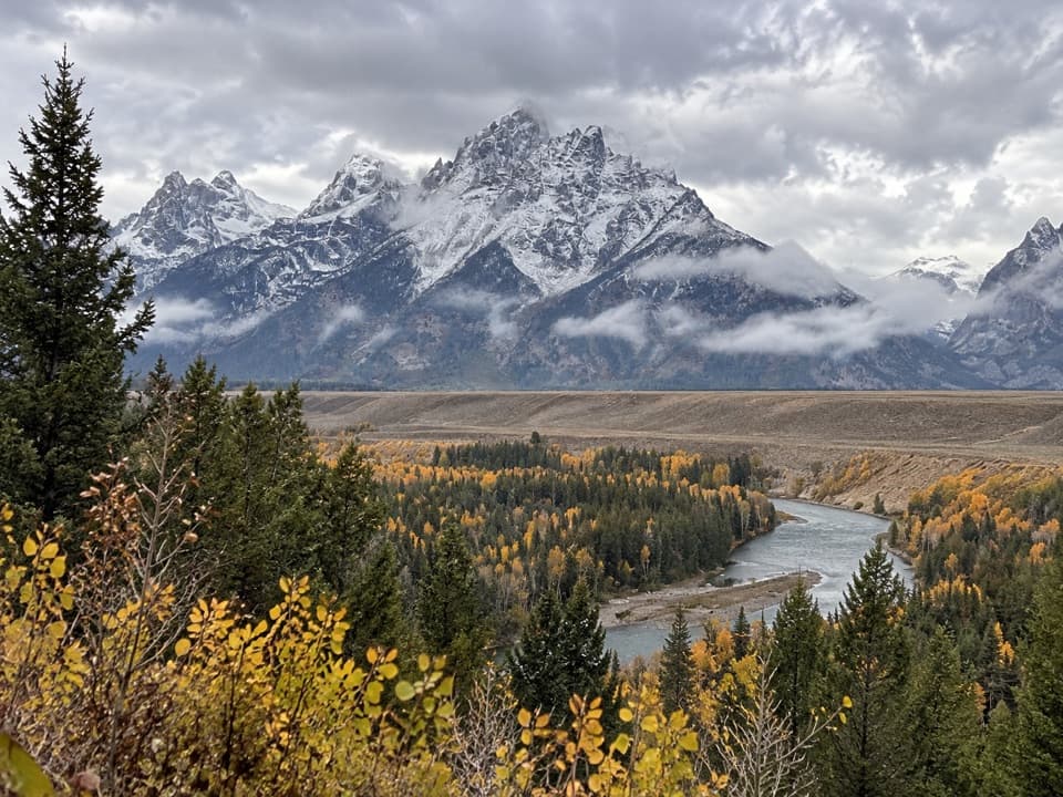
Taggart Lake in Grand Teton National Park

Sight · Grand Teton National Park

Taggart Lake

A three-mile hike ends at a glacial lake under the Tetons.

Photo: Wikimedia Commons
Type
Sight
Nearest trail
1.3 mi
Audio stories
4 nearby
  • Trailhead
  • Parking
  • Restrooms
  • Scenic viewpoint
  • #11 of 80 sights

Hear the audio tour

Taggart Lake: A Two-Hour Mountain Walk

Overview

About Taggart Lake

Why stop

  • Teton peaks frame the lake and can reflect on calm water.

Heads up

  • Reaching the shoreline takes a three-mile hike.

Map

Where it is

Loading the Grand Teton map
Full map
SightTaggart Lake43.70410, -110.75510
Keep this map with you offline in the Parkwolf app

Plan your stop

Before you go

2 active Grand Teton alerts

  • ClosureConstruction closures and delaysMentions this placeConstruction is causing current road and area closures and delays across Grand Teton; use the signed Taggart Trail detour. - Moose-Wilson Road is closed between Moose and Laurance S.Official details
  • ClosureJackson Lake boat ramps closed; Signal launch riskColter Bay and Leeks boat ramps are closed; Signal Mountain Boat Ramp is open, but water is below the ramp edge and loose cobbles make launching risky.Official details
Grand Teton alerts
A park ranger sits on a dash-mounted phone, talking, as Parkwolf’s Tour Guide plays “Army Cutworm Moths: A Grizzly Bear Buffet” on Grand Loop Road below Dunraven Pass in Yellowstone
Parkwolf Tour GuideThe highest, rockiest slopes around here are a summer buffet for grizzly bears.

Grand Teton Tour Guide

Your drive to Taggart Lake, narrated.

Parkwolf is a GPS audio tour guide for Grand Teton National Park. As you drive, it chimes in with what’s ahead: hidden gems, upcoming stops, history, geology, and wildlife, right through your car’s speakers.

See the Grand Teton audio tour

Recorded for this place

Taggart Lake: A Two-Hour Mountain Walk
0:00 / 0:25
“You're approaching Taggart Lake Trailhead, a good choice for a mountain lake without an all-day hike.”

Plays as you drive up to Taggart Lake in the Parkwolf Grand Teton Tour Guide.

More stories near here in the app

  • Cottonwood Creek: Lunch beside the Pack Meadow
  • Teton Glacier Turnout: Ice Above the Valley
  • Lucas-Fabian Homestead: Geraldine’s Grand Teton Climb
  • Lupine Meadows: The Climb to Amphitheater Lake
  • 118 audio storiesacross Grand Teton’s roads, triggered by GPS as you drive
  • Wildlife heatmapsfor Grizzly Bear, Brown Bear, Gray Wolf, and 13 more
  • Works offlinemaps, 70 trails, 121 places, and audio download before you lose signal
  • CarPlay readysimple controls built for the drive
★★★★★
“…We have been driving around with the audio tour and it has been informational and spot on. The whole family has been impressed. We used it for Yellowstone and Grand Teton.”
KWaz1122App Store review
Download Parkwolf on the App StoreGet Parkwolf on Google Play

4.7 from 8,600+ ratings

Guide

More about Taggart Lake

The lake at the end of the walkTaggart Lake is a glacial lake at the mouth of Avalanche Canyon, on the west side of the Tetons.

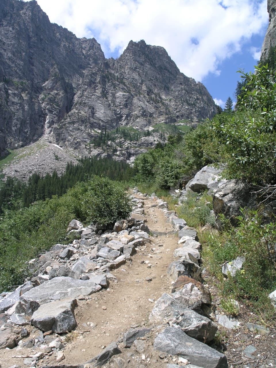
Taggart Lake is a glacial lake at the mouth of Avalanche Canyon, on the west side of the Tetons. The usual out-and-back from Taggart Lake Trailhead is 3 miles round trip, about two hours, with 350 feet of climbing. The National Park Service rates it easy, though the path has some loose, uneven rock. It crosses sagebrush flats, climbs a moraine shaded by aspen and lodgepole pine, then descends to the lake. Choose it for a mountain-framed lake without committing to a long hike.

The trailhead has a modest parking lot and a vault toilet. Food service and potable water aren't listed there, so plan around that before setting out.

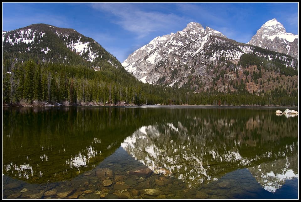
Keep going to Bradley LakeThe direct route is a satisfying out-and-back if Taggart is your main goal. A longer 5.

The direct route is a satisfying out-and-back if Taggart is your main goal. A longer 5.9-mile loop with about 800 feet of climbing links Taggart and Bradley lakes. It's a better fit if you want more time on the trail; the shorter route still gives you the lake and its Teton backdrop.

What you see from the shoreGrand Teton rises beyond the water and the surrounding forest.

Grand Teton rises beyond the water and the surrounding forest. Visitors report finding several small view spots by continuing along the shore. Calm water can reflect the peaks and trees, though the surface won't always be still.

A landscape shaped by iceThe trail climbs a glacial moraine before dropping to Taggart Lake.

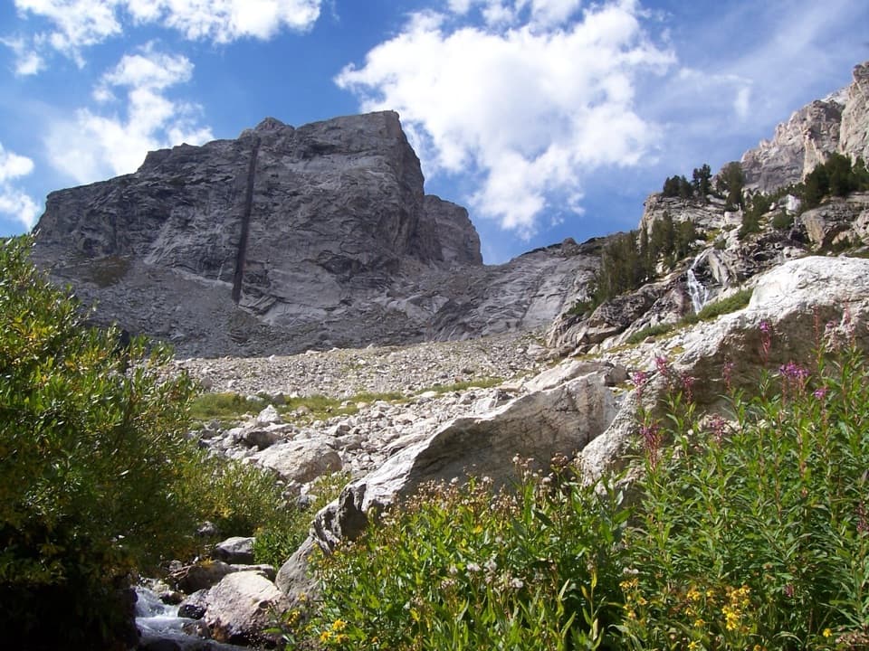
The trail climbs a glacial moraine before dropping to Taggart Lake. Bradley Lake sits at the mouth of Garnet Canyon, and the two lakes are held behind moraines left by glaciers. That explains the rounded, wooded ridge on the approach and the lakes tucked against the canyon mouths.

Who Taggart wasThe lake takes its name from W.

The lake takes its name from W. Rush Taggart, an assistant geologist on the 1872 Hayden Expedition. He had first come to Jackson Hole in 1860 with Captain W. F. Raynolds and a team of Army engineers, tying this quiet-looking lake to the early surveys of the region.

Wildlife

Wildlife in Grand Teton

All Grand Teton wildlife maps

Sighting maps show where each species has been reported across Grand Teton. Wildlife moves, so no sighting is guaranteed.

Keep exploring

Near Taggart Lake

See it all on the map

Trails nearby

More stops nearby

Parkwolf’s Grand Teton ranking

Top sights in Grand Teton

All 121 places
  1. 1Grand TetonSight
  2. 2Schwabacher LandingSight
  3. 3Oxbow Bend TurnoutSight
  4. 4Mormon Row Historic DistrictSight
  5. 5Snake River OverlookSight
  6. 6Hidden FallsSight

Take Parkwolf to Grand Teton.

The audio tour guide for the drive, plus offline maps, trails, and wildlife heatmaps for when the signal drops.

4.7 from 8,600+ ratings

Download Parkwolf on the App StoreGet Parkwolf on Google Play