Parking
Start at Taggart Lake Trailhead on Teton Park Road, about 2.3 miles north of the Moose Entrance Station. The lot often fills in summer, so arrive early. If roadside parking is open, follow the signs and pull fully off the main road.
Grand Teton National Park, WY
A 3.8-mile lake loop with a moraine climb and creekside return.
Overview
Taggart Lake - Beaver Creek Loop is a 3.8-mile circuit from Taggart Lake Trailhead: climb through aspen and conifers to the lake, then return south by Valley Trail and Beaver Creek. Give it two to three hours. It’s a good pick if you want the lake and a proper loop without turning the day into a long backcountry outing. The 620 feet of climbing are spread across the route, but the walk is not flat: roots, rocks, stairs and one short, steeper moraine pitch slow things down.
 Parkwolf’s verdictIs this one for you?
Map & elevation
Plan your hike

The highest, rockiest slopes around here are a summer buffet for grizzly bears.
Grand Teton Tour Guide
Parkwolf is a GPS audio tour guide for Grand Teton National Park. As you drive, it chimes in with what’s ahead: hidden gems, upcoming stops, history, geology, and wildlife, right through your car’s speakers.
See the Grand Teton audio tourRecorded for this trailhead
Taggart Lake: A Two-Hour Mountain Walk“You're approaching Taggart Lake Trailhead, a good choice for a mountain lake without an all-day hike.”
Plays as you drive up to this trailhead in the Parkwolf Grand Teton Tour Guide.
More stories near here in the app
“…We have been driving around with the audio tour and it has been informational and spot on. The whole family has been impressed. We used it for Yellowstone and Grand Teton.”


Trail guide
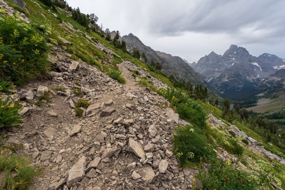
Start on the signed path from the trailhead and stay on the footpath where an old gravel road branches away. A bridge over Taggart Creek gives you a quick look at a small cascade. Around four-tenths of a mile in, you pass the horse corrals and begin the steady climb through spruce, fir, lodgepole pine and aspen. At the Bradley Lake junction, keep to the Taggart Lake branch; the other fork adds Bradley Lake and makes a different, longer hike.
Around the first mile, the trail crosses the area burned by the 1985 Beaver Creek Fire. The change from shady forest to more open ground gives you wider views toward the Tetons. The aspen stands are especially colorful in fall, though the route is worth doing outside that season too.
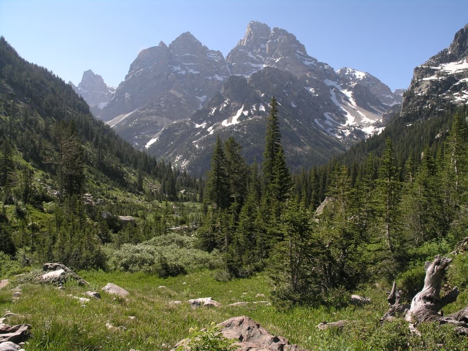
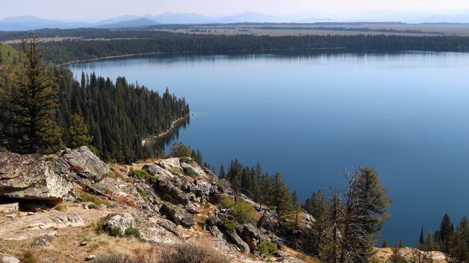
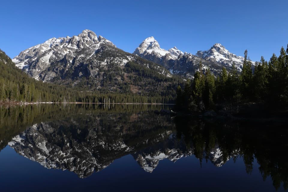
The path levels out before reaching the lake’s southeastern shore, about 1.6 miles from the start. This is the main payoff: clear water below the Teton skyline, with Middle Teton, Grand Teton, Mount Owen and Teewinot in view. If the water is still, the peaks can reflect in the lake; the shore makes a natural foreground. Take a few minutes here before starting the longer return.
From the shore, follow the Valley Trail south. It crosses a narrow outlet and climbs a short, fairly steep glacial moraine; from the top, look south across Jackson Hole. Around 2.4 miles into the walk, take the Beaver Creek route back. It passes open meadows, old pine forest and willow-lined stretches beside the creek before bending east toward the trailhead. The loop rejoins its short approach near the end.
The direct Taggart Lake out-and-back reaches the same lake and skips most of the southern loop. Choose that if you want the view but would rather avoid the extra miles and moraine climb. For this row’s full experience, stay on the Valley Trail and complete the Beaver Creek return.
Wildlife
 172 sightingsGrizzly BearMost seen around 7 PMSighting map
 195 sightingsBrown BearMost seen around 6 AMSighting map
 32 sightingsGray WolfMost seen around 7 PMSighting map
 1,816 sightingsMooseMost seen around 7 AMSighting map
 614 sightingsBisonMost seen around 6 AMSighting map
 738 sightingsElkMost seen around 7 PMSighting map
Sighting maps show where each species has been reported across Grand Teton. Wildlife moves, so no sighting is guaranteed.
Keep exploring
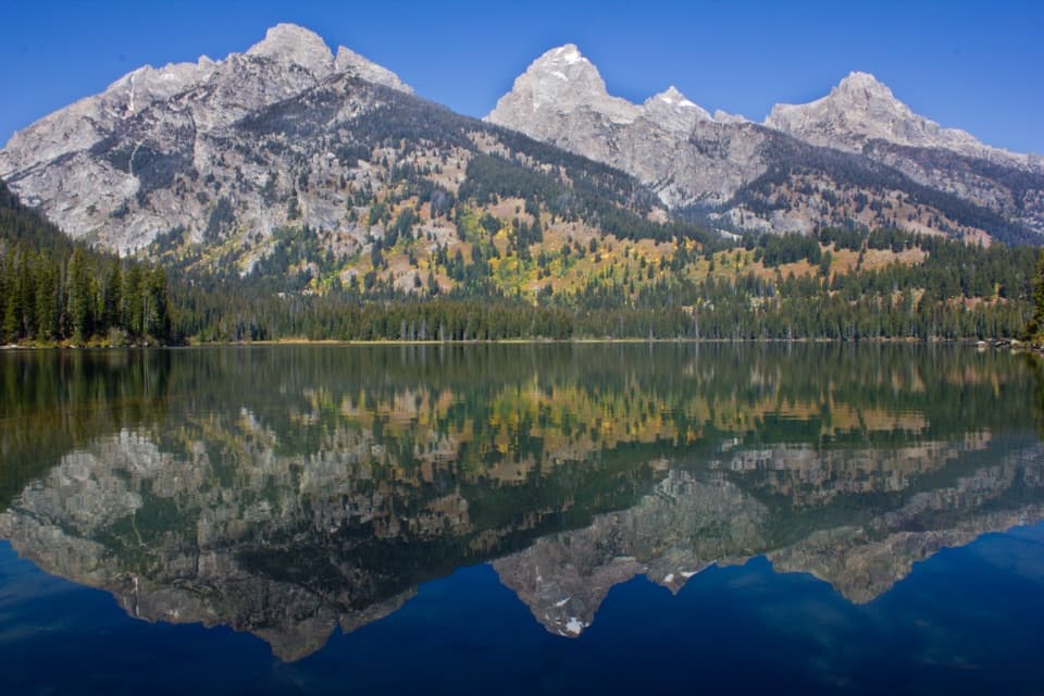 EasyTaggart Lake Trail3 mi · 1.5 hr · At the trailheadA mellow climb through aspens to a lake under the Tetons.ModerateTaggart Lake–Bradley Lake Loop5.6 mi · 2.8 hr · At the trailheadTwo alpine lakes and a ridge walk beneath the high Tetons.
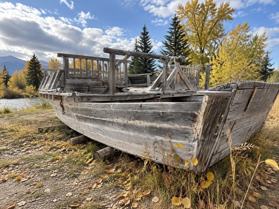 EasyMenor's Ferry Trail0.4 mi · 45 min · 2.5 mi awayA riverside loop visits a replica of Jackson Hole’s historic ferry.
 ChallengingBlacktail Butte Peak Trail6.1 mi · 4 hr · 2.8 mi awayA steep climb earns a broad Teton view from an open ridge.
 EasyMurie Ranch Trail1.1 mi · 45 min · 2.9 mi awayA flat, wooded walk to a landmark of conservation history.
 ChallengingDelta Lake Trail7.6 mi · 6 hr · 2.9 mi awayA steep boulder climb to turquoise water below the Tetons.
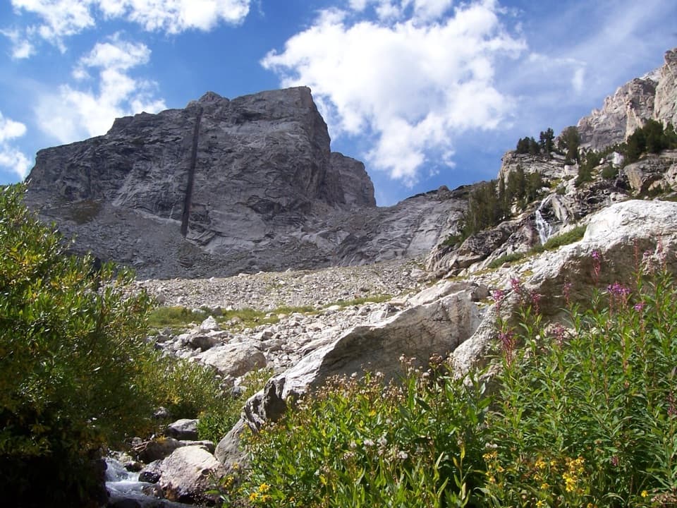 ChallengingGarnet Canyon Trail8.2 mi · 5 hr · 2.9 mi awayA steep approach to a boulder field below Middle Teton.
 EasySchwabacher Landing Trail0.6 mi · 30 min · 3.4 mi awayBeaver ponds turn the Tetons into a morning mirror.
 Picnic area · 0.3 mi awayCottonwood Creek Overlook and Picnic AreaPicnic tables, the Manges cabin and fall aspens below the Tetons
 Lodging · 0.8 mi awayGrand Teton Climbers’ RanchA rustic climbers’ base with shared bunks and Teton views.
 Scenic pullout · 1.2 mi awayWindy Point TurnoutA quick view of the central Tetons, with pathway access.
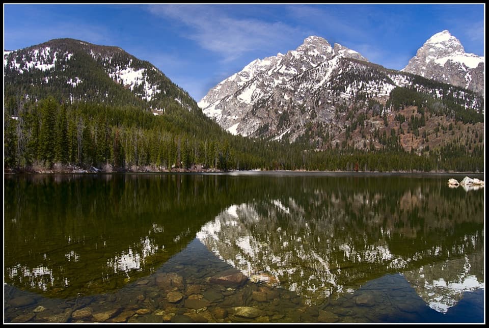 Sight · 1.3 mi awayTaggart LakeA three-mile hike ends at a glacial lake under the Tetons.
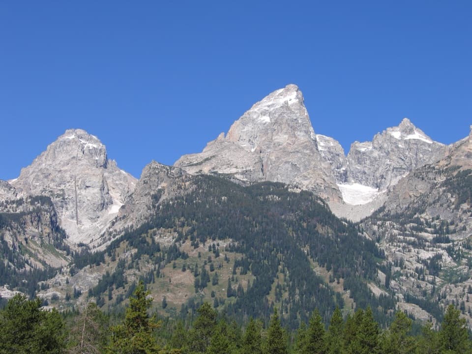 Sight · 1.4 mi awayTeton Glacier TurnoutA roadside chance to spot the park’s largest glacier.
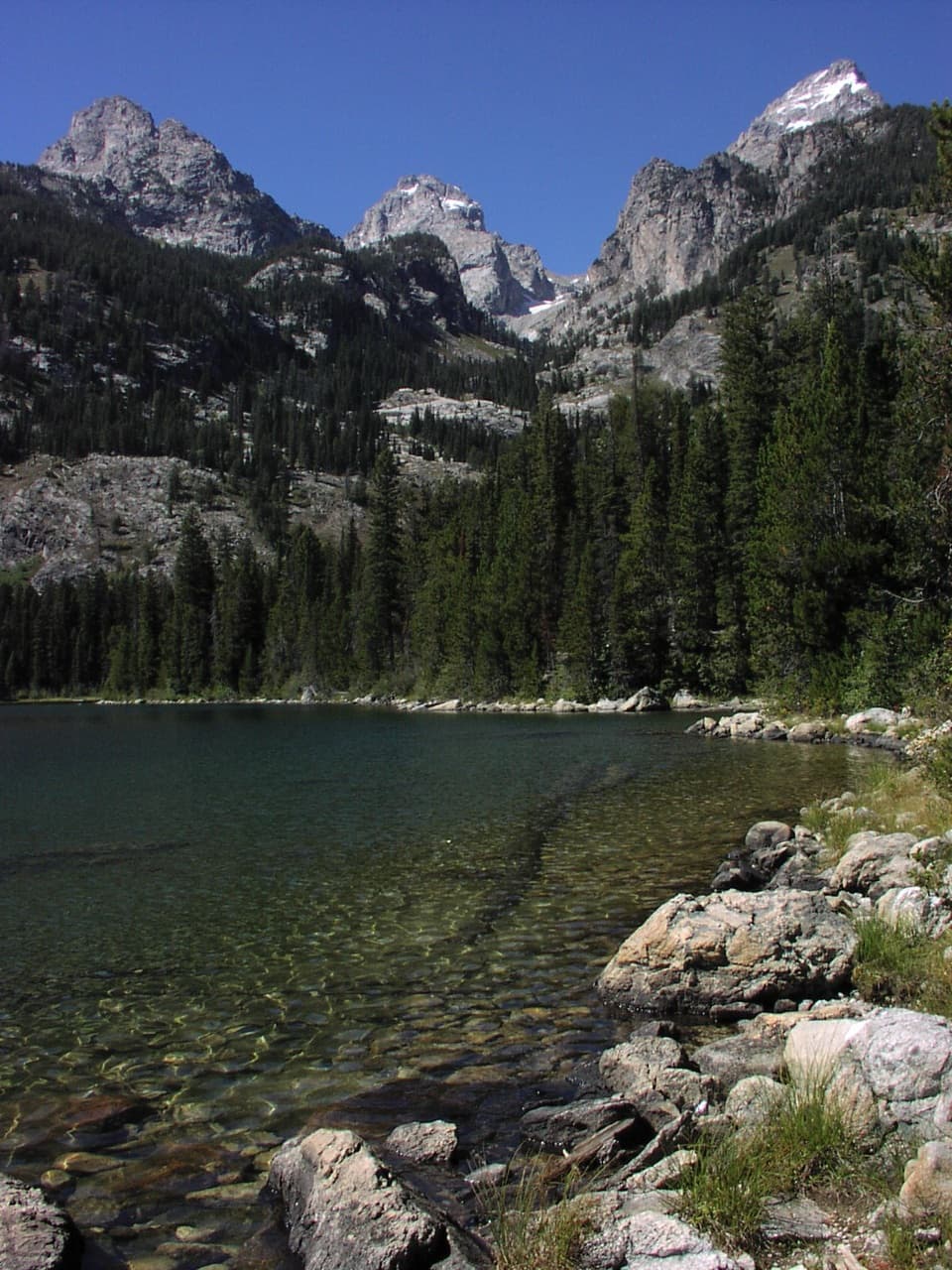 Sight · 1.6 mi awayBradley LakeA second alpine lake with a strong view of Garnet Canyon.
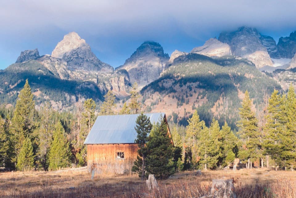 Sight · 1.7 mi awayLucas-Fabian HomesteadA homestead stop with Teton views and a 58-year-old climber's story.
 Sight · 1.9 mi awayBar BC Dude RanchWalk among cabins from Jackson Hole's early dude-ranch era.
Parkwolf’s Grand Teton ranking
The audio tour guide for the drive, plus offline maps, trails, and wildlife heatmaps for when the signal drops.