Parking
Start at South Jenny Lake and use the ferry to the West Shore boat dock. The route ends at Death Canyon trailhead, so arrange a vehicle transfer between trailheads.
Grand Teton National Park, WY
A high, rugged traverse links Cascade and Death canyons via Alaska Basin.
Overview
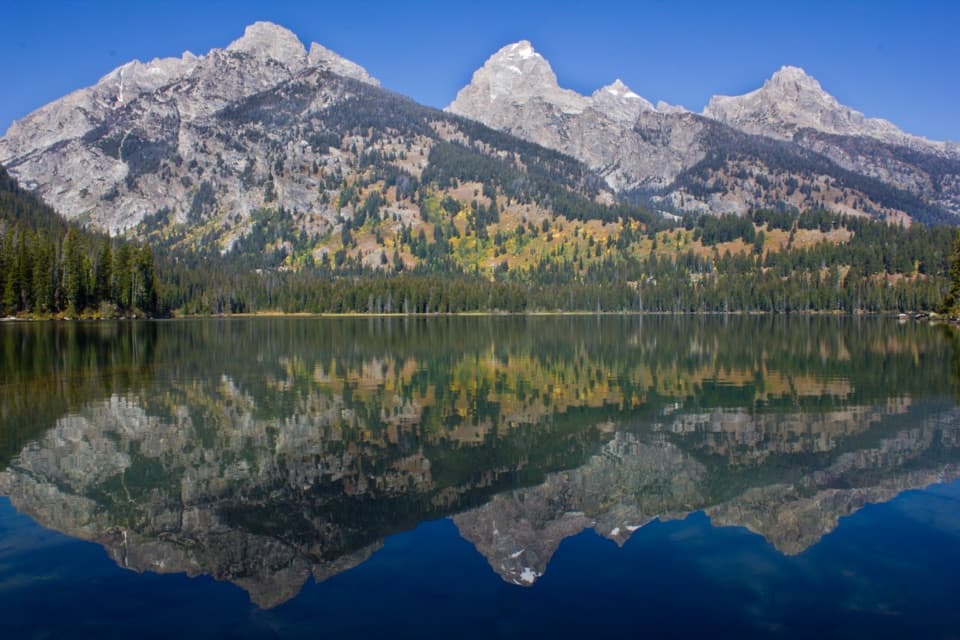
This is a 23.4-mile, one-way backcountry traverse from the West Shore boat dock at Jenny Lake to the Death Canyon trailhead. It follows Cascade Canyon’s South Fork, crosses Hurricane Pass, winds through Alaska Basin, climbs to Static Peak Divide, then descends through Death Canyon. Take the Jenny Lake ferry to start at the west shore; walking around the lake adds 2.4 miles, for 25.8 total. Plan for one to two nights. This is a serious high-country trip with long climbs, a very high pass and remote stretches. If you want the south-side scenery without an overnight pack, For a shorter outing in the same area, consider a Phelps Lake Overlook day hike.
 Parkwolf’s verdictIs this the hike for you?
Map & elevation
Plan your hike

The highest, rockiest slopes around here are a summer buffet for grizzly bears.
Grand Teton Tour Guide
Parkwolf is a GPS audio tour guide for Grand Teton National Park. As you drive, it chimes in with what’s ahead: hidden gems, upcoming stops, history, geology, and wildlife, right through your car’s speakers.
See the Grand Teton audio tourRecorded for this trailhead
South Jenny Lake: Shore or Shuttle“You're nearing South Jenny Lake, where you can enjoy the mountain view from a paved lakeshore path or take the seasonal shuttle across the water.”
Plays as you drive up to this trailhead in the Parkwolf Grand Teton Tour Guide.
More stories near here in the app
“…We have been driving around with the audio tour and it has been informational and spot on. The whole family has been impressed. We used it for Yellowstone and Grand Teton.”


Trail guide
Park at South Jenny Lake and take the ferry to the West Shore dock, where the mapped route begins. You finish at the separate Death Canyon trailhead, so arrange a vehicle transfer before setting out. The route is easiest in this direction: you reach Static Peak Divide from the west and descend the steep Death Canyon side instead of climbing it from the trailhead. The ferry is optional; the longer shore approach adds 2.4 miles.
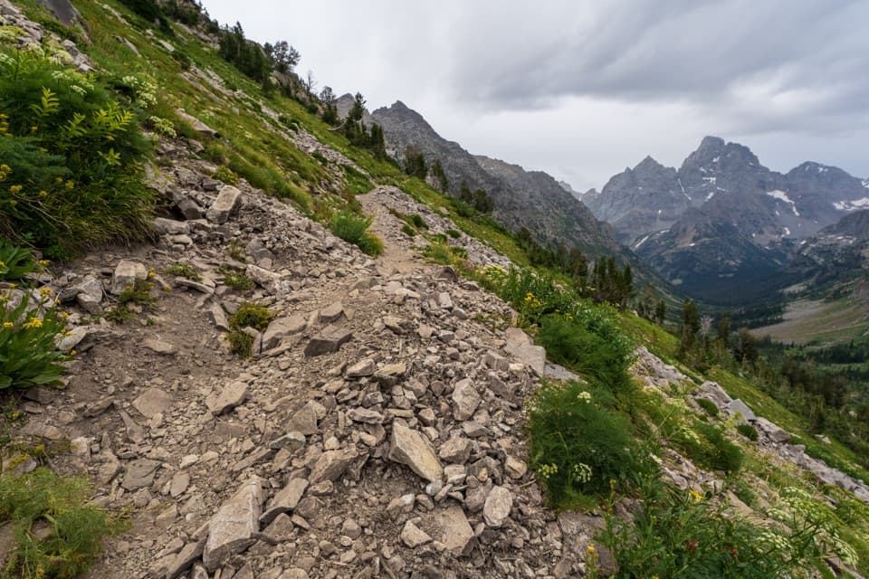
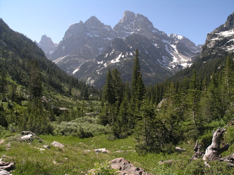
Follow Cascade Canyon to the fork and stay on the South Fork toward Hurricane Pass. This keeps you on the route toward Alaska Basin; the North Fork is a different hike. The terrain becomes high and open around the pass, with long views into the surrounding peaks. From Hurricane Pass the trail descends toward the basin before turning back toward Static Peak Divide. Mountain passes can hold snow into late July, and the park warns hikers to take care on snowfields and stream crossings.
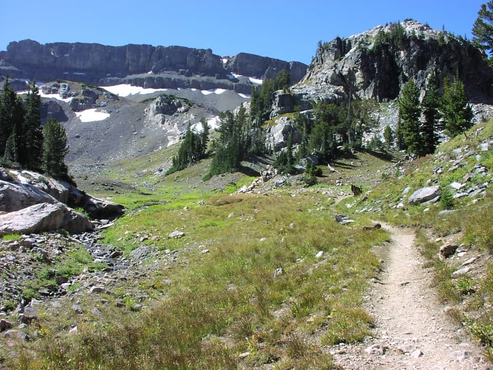
The high route threads through a glaciated basin and over a barren ridge before opening toward Alaska Basin and Sunset Lake. Sunset Lake is a popular backcountry campsite, so it can be a useful landmark when planning where to stop for the night. This stretch is the route’s wildest-feeling scenery: bare rock, a broad basin and a close look at the Teton crest, rather than another forested canyon walk.
At 10,790 feet, Static Peak Divide is the highest pass on a maintained trail in the park. The view opens in every direction: Alaska Basin to the west, the eastern plain below, and Static Peak and Buck Mountain to the north. It can be windy on the divide, so leave time to pause without lingering if the weather turns. The short spur to Static Peak’s summit is a separate extra, adding about half a mile and 513 feet of climbing; it is not part of this route.
From the divide, the trail drops toward Death Canyon. The canyon narrows between tall rock walls, then its floor eases near the historic Death Canyon Barn, a patrol cabin built in 1935. Continue down past the canyon’s cascades and the Phelps Lake Overlook. At the lower junction, follow the Valley Trail toward the Death Canyon trailhead; the south branch leads toward Phelps Lake instead.
Wildlife
 172 sightingsGrizzly BearMost seen around 7 PMSighting map
 195 sightingsBrown BearMost seen around 6 AMSighting map
 32 sightingsGray WolfMost seen around 7 PMSighting map
 1,816 sightingsMooseMost seen around 7 AMSighting map
 614 sightingsBisonMost seen around 6 AMSighting map
 738 sightingsElkMost seen around 7 PMSighting map
Sighting maps show where each species has been reported across Grand Teton. Wildlife moves, so no sighting is guaranteed.
Keep exploring
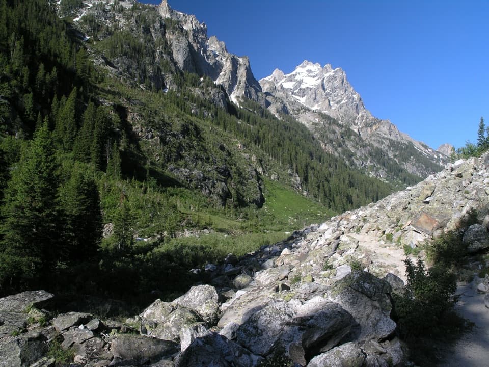 ModerateForks of Cascade Canyon9.4 mi · 7 hr · At the trailheadA high canyon walk whose hardest steps come before the big views.
 EasyHidden Falls Trail1 mi · 1.5 hr · At the trailheadA short, rocky climb to a snowmelt-fed waterfall.
 ChallengingAvalanche Divide Trail20.8 mi · 13 hr · At the trailheadA 20.8-mile alpine out-and-back to the divide below The Wall.
 ChallengingLake Solitude Trail15.1 mi · 11 hr · At the trailheadA full-day climb through Cascade Canyon to a high alpine lake.
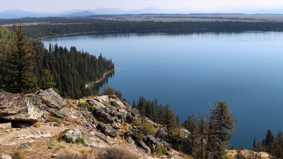 ModerateInspiration Point Trail1.8 mi · 2.5 hr · At the trailheadA short, steep climb above Jenny Lake to a full Teton panorama.
 ChallengingHurricane Pass via South Fork Cascade Canyon20 mi · 13.5 hr · At the trailheadA glacier and the Three Tetons reward a very long day.
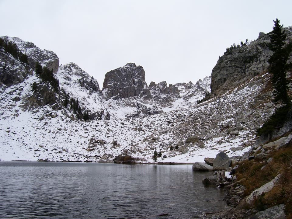 ChallengingLake of the Crags Trail4.6 mi · 7.5 hr · 0.2 mi awayA steep, unmaintained climb through Hanging Canyon to two alpine lakes.
 ModerateJenny Lake Loop Trail7.1 mi · 4 hr · 1.4 mi awayThe full-lake loop brings the Cathedral Group into view.
 Sight · 0.2 mi awayInspiration PointA rocky climb buys a wide-open look across Jenny Lake.
 Sight · 0.4 mi awayHidden FallsA one-mile waterfall walk that roars louder than the trail distance.
 Sight · 1.3 mi awayMoose PondsA short Jenny Lake walk to moose country.
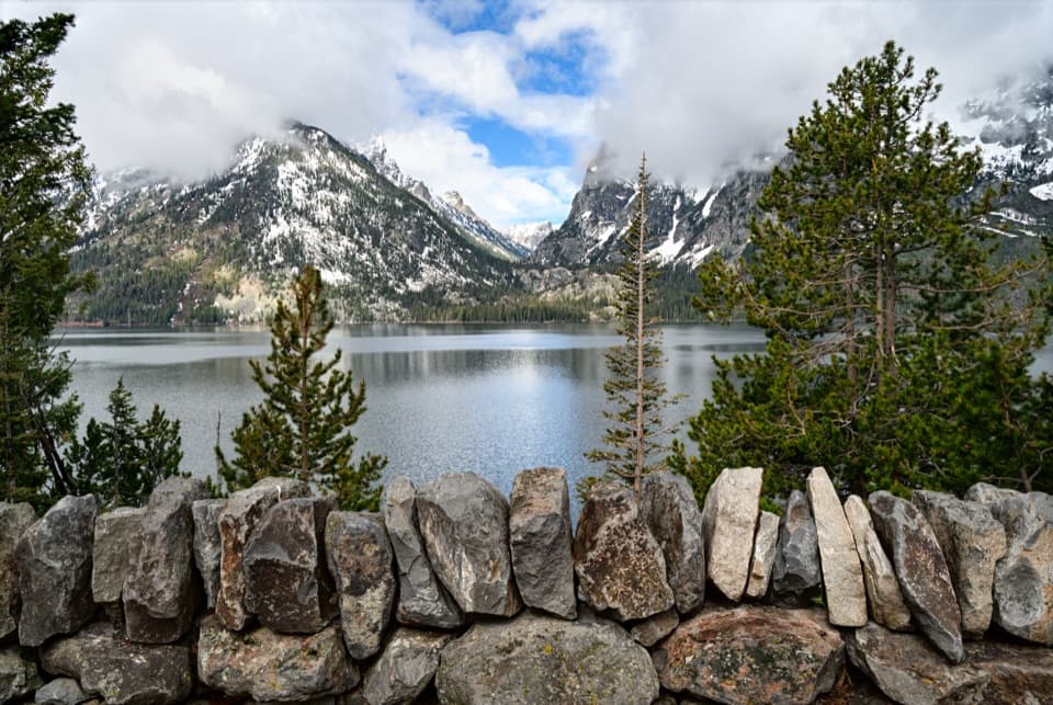 Sight · 1.3 mi awayJenny Lake OverlookA classic lake-and-canyon view with almost no walking.
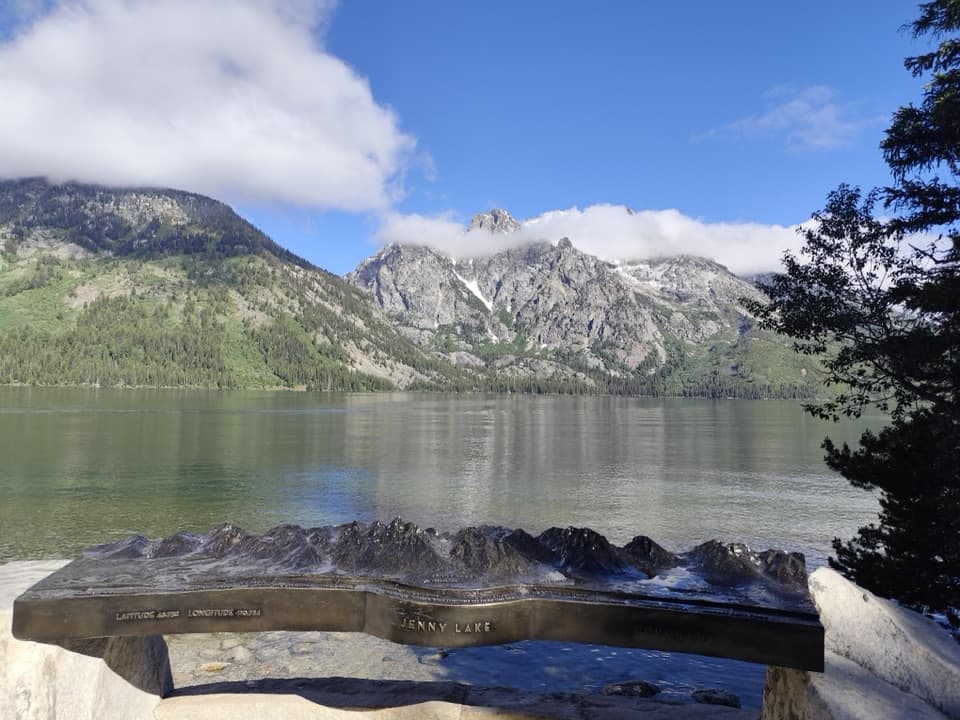 Sight · 1.4 mi awayTeewinot OverlookSee why Teewinot means “many pinnacles” from the easy lakeshore.
 Sight · 1.4 mi awayJenny Lake East Shore Boat DockA ten-minute crossing shortcuts the walk to the west-shore trails.
 Lodging · 1.4 mi awayJenny Lake LodgeA seasonal cabin stay with five-course dinners and Dude Ranch roots.
 Campground · 1.5 mi awayJenny Lake CampgroundTent-only camping near Jenny Lake; some sites face the Tetons.
Parkwolf’s Grand Teton ranking
The audio tour guide for the drive, plus offline maps, trails, and wildlife heatmaps for when the signal drops.