Parking
Park at the String and Leigh Lakes Trailhead, the signed access for both lakes off Teton Park Road. Take the short path from the lot to String Lake. A park entrance fee applies; there is no separate activity fee.
Grand Teton National Park, WY
Long lake shores lead to Bearpaw, Trapper, and a view of Moran.
Overview
Map & elevation
Plan your hike

The highest, rockiest slopes around here are a summer buffet for grizzly bears.
Grand Teton Tour Guide
Parkwolf is a GPS audio tour guide for Grand Teton National Park. As you drive, it chimes in with what’s ahead: hidden gems, upcoming stops, history, geology, and wildlife, right through your car’s speakers.
See the Grand Teton audio tourRecorded for this trailhead
String and Leigh Lakes: Picnic, Paddle or Walk“String Lake is coming up, a good place to stop for a picnic or time on the water beneath the Tetons.”
Plays as you drive up to this trailhead in the Parkwolf Grand Teton Tour Guide.
More stories near here in the app
“…We have been driving around with the audio tour and it has been informational and spot on. The whole family has been impressed. We used it for Yellowstone and Grand Teton.”


Trail guide
Bearpaw and Trapper Lakes Trail is a 9.2-mile out-and-back from the String and Leigh Lakes Trailhead. It follows String Lake and Leigh Lake north, then leaves the shore for a meadow walk to Trapper Lake; return the same way. The park rates it moderate, with about 460 feet of climbing, and gives a four-to-six-hour window. The tread has short stairs, exposed roots and rocks, plus small ups and downs. Dogs aren't allowed.
The park's 9.2-mile line is the one represented here. A longer itinerary visits the head of Leigh Lake and the Bearpaw Lake backcountry campsite before turning west to Trapper; it is reported as 10 miles from Leigh Lake access, with another half-mile each way if you start along String Lake. Leave time for those detours if you want them.
From the trailhead, take the short access path to String Lake and continue north along its eastern shore. Around 0.9 mile, take the right branch at the Bearpaw Lake split. Keep right at the Leigh Lake portage spur and go straight at the unmarked junction near mile one. This is mostly a forested dirt path, not a smooth lakeside promenade; roots and rocks keep your eyes on the tread even though the overall climb is gentle.
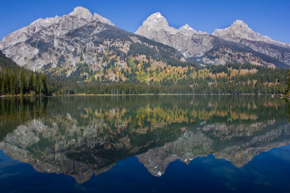
A rocky beach just past 1.8 miles opens a broad view across Leigh Lake toward Teewinot, Rockchuck Peak, Mount Woodring and Mount Moran. It's the best place to stop and take in the mountain line reflected across the water. A longer sandy beach near the backcountry campsites comes around 2.3 miles. Overnight camping there requires a backcountry permit; day hikers can stop at the shore and continue.
Around 2.75 miles, the route skirts the area burned in the 2009 Bearpaw Bay Fire. Near 3.1 miles, it leaves Leigh Lake for an open meadow and a junction. Short spurs lead toward the head of Leigh Lake and the Bearpaw Lake campsite; both return to this junction. For the park's 9.2-mile outing, follow the westbound route to Trapper instead of adding those side trips. It drops along the far side of Bearpaw Lake, then crosses woods and open meadows.
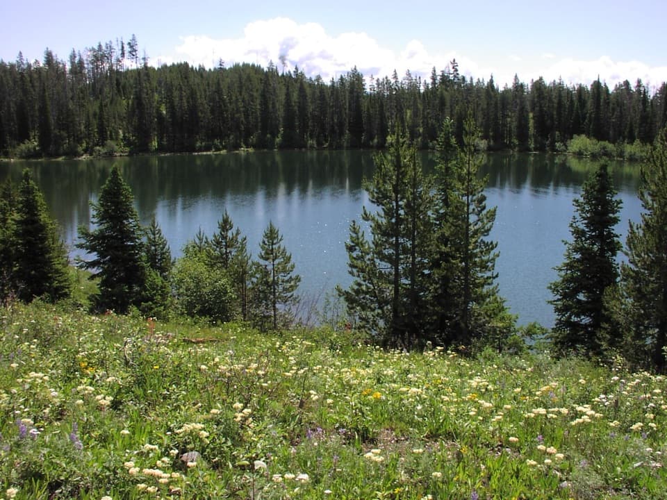
Trapper Lake is a small lake in an open meadow beneath an avalanche chute on Mount Moran. A beaver pond sits at its inlet, and reeds edge much of the water. A low knoll makes a good place for a snack before the return walk. For a photo, keep some meadow in the frame with the lake and mountain behind it; a tight shot of water loses the setting that makes the end of this long walk feel different from Leigh Lake.
Wildlife
 172 sightingsGrizzly BearMost seen around 7 PMSighting map
 195 sightingsBrown BearMost seen around 6 AMSighting map
 32 sightingsGray WolfMost seen around 7 PMSighting map
 1,816 sightingsMooseMost seen around 7 AMSighting map
 614 sightingsBisonMost seen around 6 AMSighting map
 738 sightingsElkMost seen around 7 PMSighting map
Sighting maps show where each species has been reported across Grand Teton. Wildlife moves, so no sighting is guaranteed.
Keep exploring
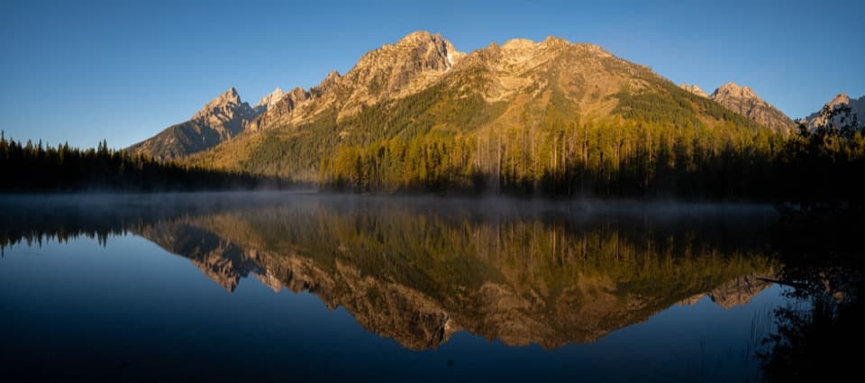 EasyString Lake Loop3.7 mi · 2.5 hr · At the trailheadEasy lake circuit, gentler east shore, climbing west ridge.
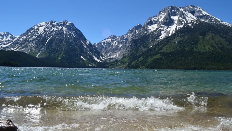 EasyLeigh Lake Trail1.8 mi · 1.5 hr · At the trailheadA short lakeshore walk ends where String meets Leigh.
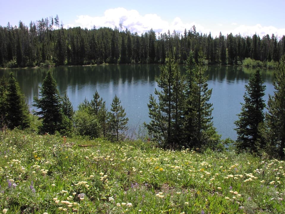 ModerateBearpaw Lake Trail7.8 mi · 4.5 hr · At the trailheadA long forest walk to Bearpaw Lake, with little climbing.
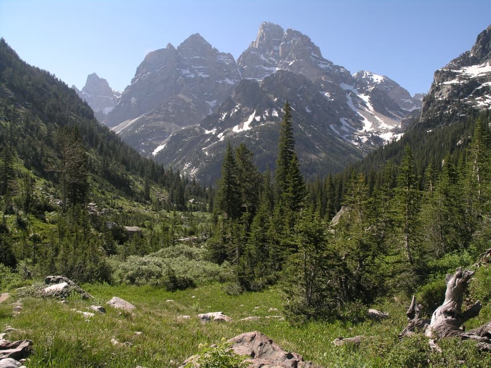 ChallengingPaintbrush Canyon - Cascade Canyon Loop19.9 mi · 12.5 hr · 0.3 mi awayTwo canyons, one high pass, and a long day in the Tetons.
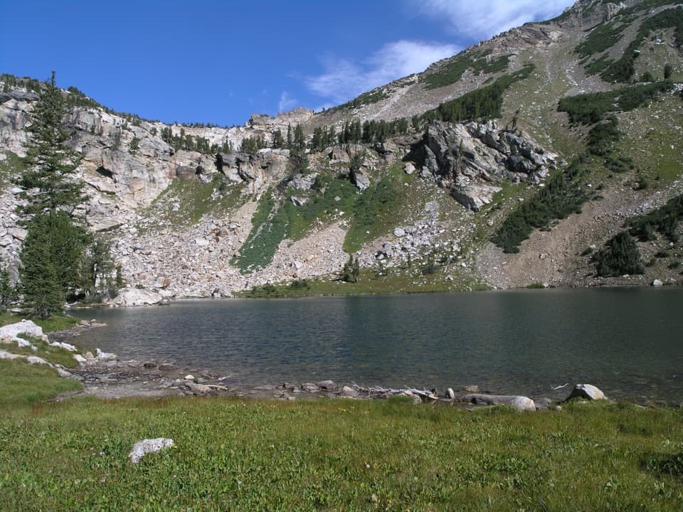 ChallengingHolly Lake Trail12.8 mi · 8 hr · 0.3 mi awayA full-day climb from String Lake to a high alpine lake.
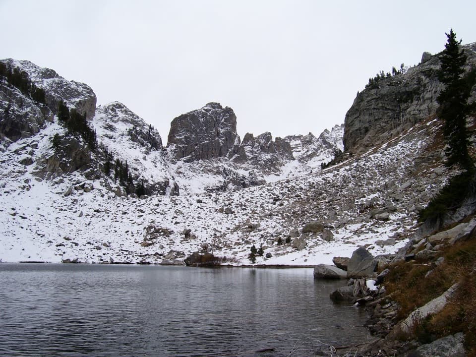 ChallengingLake of the Crags Trail4.6 mi · 7.5 hr · 1.4 mi awayA steep, unmaintained climb through Hanging Canyon to two alpine lakes.
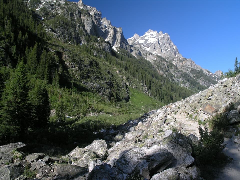 ModerateForks of Cascade Canyon9.4 mi · 7 hr · 1.6 mi awayA high canyon walk whose hardest steps come before the big views.
 EasyHidden Falls Trail1 mi · 1.5 hr · 1.6 mi awayA short, rocky climb to a snowmelt-fed waterfall.
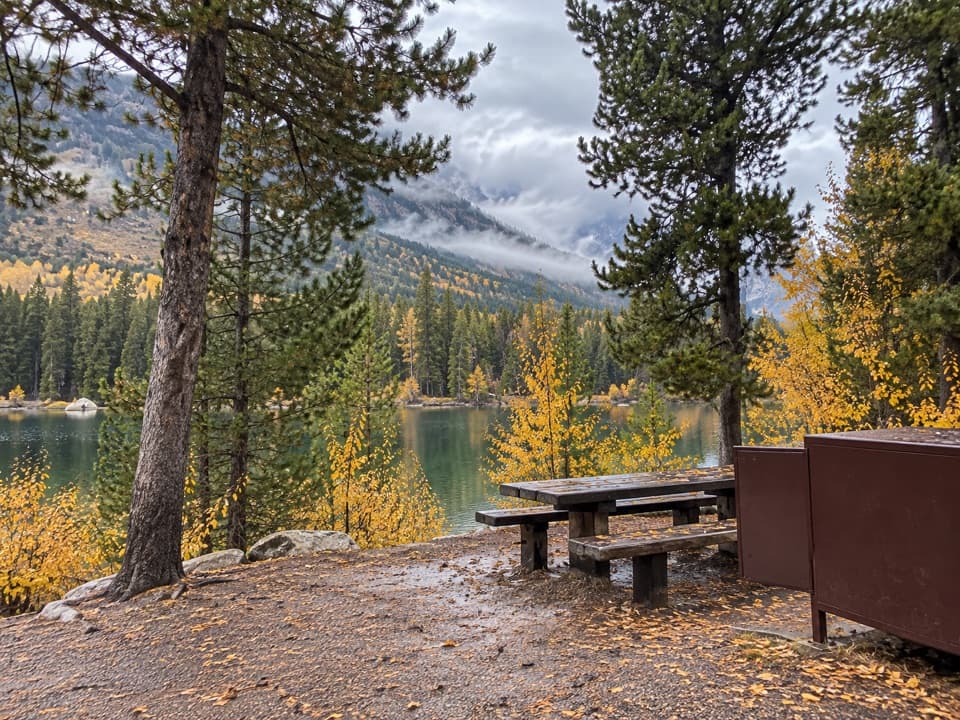 Picnic area · 0.1 mi awayString Lake Picnic AreaA shady lakeside lunch spot with swimming and Teton views.
 Lodging · 0.5 mi awayJenny Lake LodgeA seasonal cabin stay with five-course dinners and Dude Ranch roots.
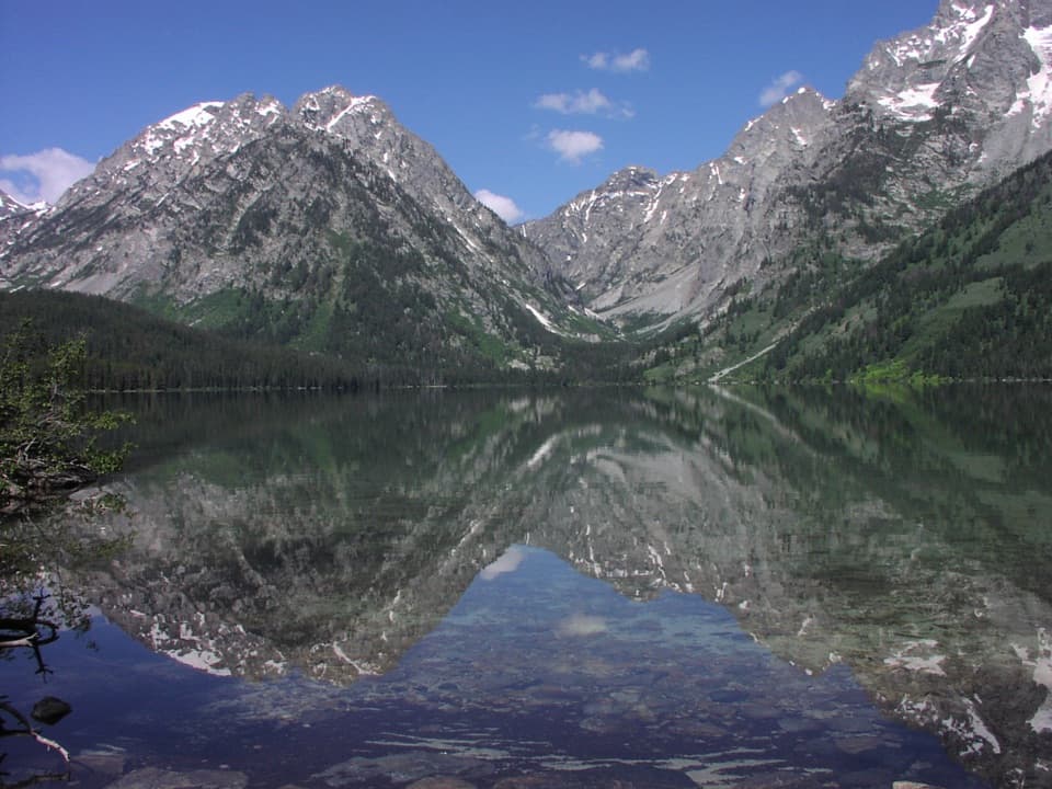 Sight · 0.7 mi awayLeigh LakeA short walk leaves the busier String Lake shore behind.
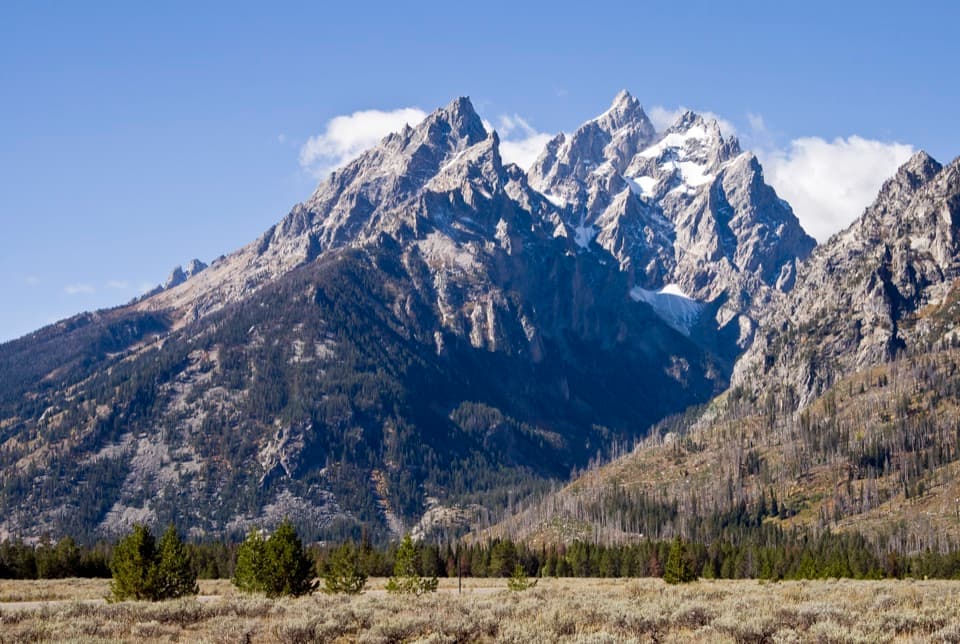 Sight · 0.9 mi awayCathedral Group TurnoutA quick roadside view of the Cathedral peaks and fault scarp.
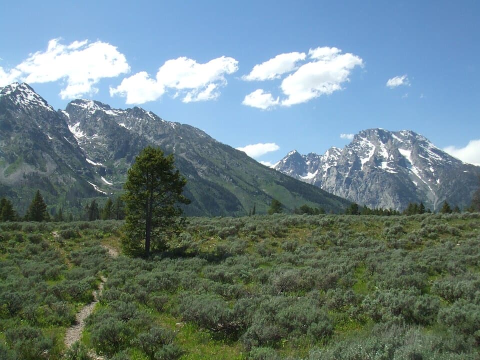 Sight · 1.4 mi awayCascade Canyon TurnoutA quick roadside glimpse into glacier-carved Cascade Canyon.
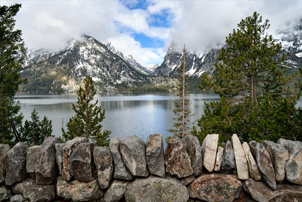 Sight · 1.6 mi awayJenny Lake OverlookA classic lake-and-canyon view with almost no walking.
 Sight · 1.7 mi awayInspiration PointA rocky climb buys a wide-open look across Jenny Lake.
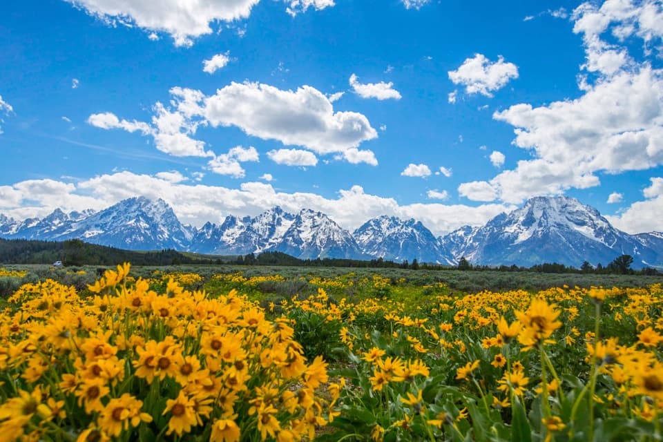 Scenic pullout · 1.8 mi awayMountain View TurnoutA wide Teton panorama without a hike
Parkwolf’s Grand Teton ranking

The audio tour guide for the drive, plus offline maps, trails, and wildlife heatmaps for when the signal drops.