Parking
Use the Blacktail Butte Trailhead lot on the east side of US 26/89/191, about one mile north of Moose Junction. The hiking line starts behind the prominent trail sign. There are no facilities at the lot.

Grand Teton National Park, WY
A steep climb earns a broad Teton view from an open ridge.
Overview
Blacktail Butte Peak Trail is a strenuous out-and-back from the signed highway-side trailhead to the butte’s southern summit ridge, where the trees open toward the Teton Range. Plan on about 6.1 miles round trip, roughly four hours, and about 1,250 feet of climbing. Choose it for a demanding half-day ascent close to Moose, not a gentle viewpoint stroll.
 Parkwolf’s verdictThe payoff
Map & elevation
Plan your hike

The highest, rockiest slopes around here are a summer buffet for grizzly bears.
Grand Teton Tour Guide
Parkwolf is a GPS audio tour guide for Grand Teton National Park. As you drive, it chimes in with what’s ahead: hidden gems, upcoming stops, history, geology, and wildlife, right through your car’s speakers.
See the Grand Teton audio tourRecorded for this trailhead
Blacktail Butte: A Half-Day Ridge Climb“Blacktail Butte Trailhead is ahead, for a strenuous half-day climb to a ridge overlooking Jackson Hole and the Tetons.”
Plays as you drive up to this trailhead in the Parkwolf Grand Teton Tour Guide.
More stories near here in the app
“…We have been driving around with the audio tour and it has been informational and spot on. The whole family has been impressed. We used it for Yellowstone and Grand Teton.”


Trail guide
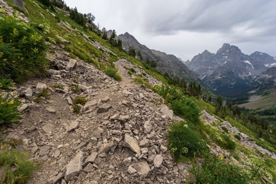
Start behind the prominent trailhead sign and take the track along the butte’s west side through pockets of aspen. It climbs steadily toward a gully and the south end of the butte. Several steep side tracks lead to bolted climbing routes; stay on the hiking line. At the summit ridge, turn around and retrace the route. This is not a loop.
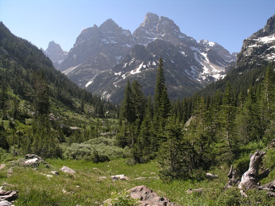
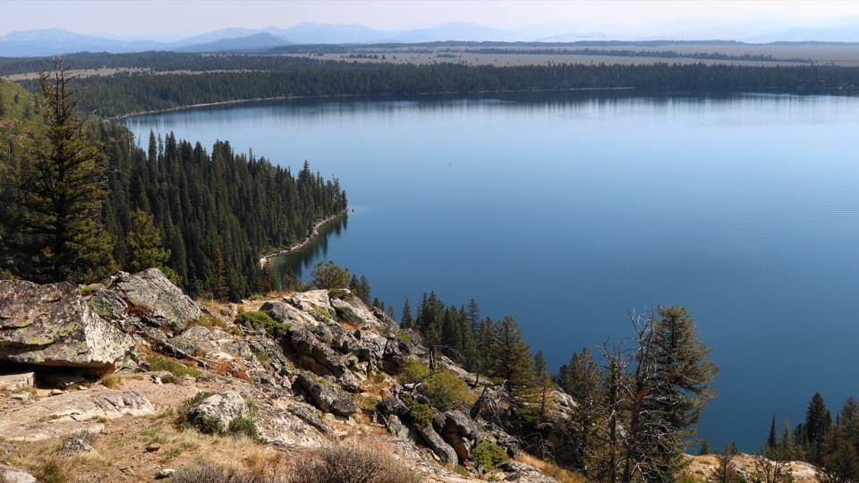
The route’s reward is an open look across Jackson Hole to the Teton skyline. Much of the climb is among trees, so the mountain view arrives as the hillside opens near the southern ridge. For a photo, keep some of the butte’s slope below the peaks; it gives the skyline a sense of place instead of making the frame all mountains.
The trailhead parking lot is on the east side of US 26/89/191, about a mile north of Moose Junction. There is no water or restroom at the lot, so bring what you need and stop beforehand. Pets are prohibited on park trails.
The butte appeared as Gros Ventre Butte on an 1876 survey and as Blacktrail Butte on an 1899 map. Its current name refers to the blacktail deer, now called mule deer, that browse its slopes and upper meadows.
This entry follows the route from the Blacktail Butte Trailhead on US 26/89/191. A separate approach begins near Mormon Row, so its mileage and route are a different itinerary. The mapped line follows the climb one way; the stated hiking distance includes the return over the same corridor.
Wildlife
 172 sightingsGrizzly BearMost seen around 7 PMSighting map
 195 sightingsBrown BearMost seen around 6 AMSighting map
 32 sightingsGray WolfMost seen around 7 PMSighting map
 1,816 sightingsMooseMost seen around 7 AMSighting map
 614 sightingsBisonMost seen around 6 AMSighting map
 738 sightingsElkMost seen around 7 PMSighting map
Sighting maps show where each species has been reported across Grand Teton. Wildlife moves, so no sighting is guaranteed.
Keep exploring
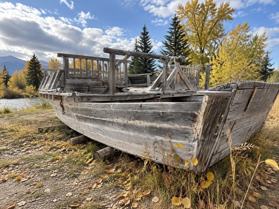 EasyMenor's Ferry Trail0.4 mi · 45 min · 0.9 mi awayA riverside loop visits a replica of Jackson Hole’s historic ferry.
 EasyMurie Ranch Trail1.1 mi · 45 min · 1.2 mi awayA flat, wooded walk to a landmark of conservation history.
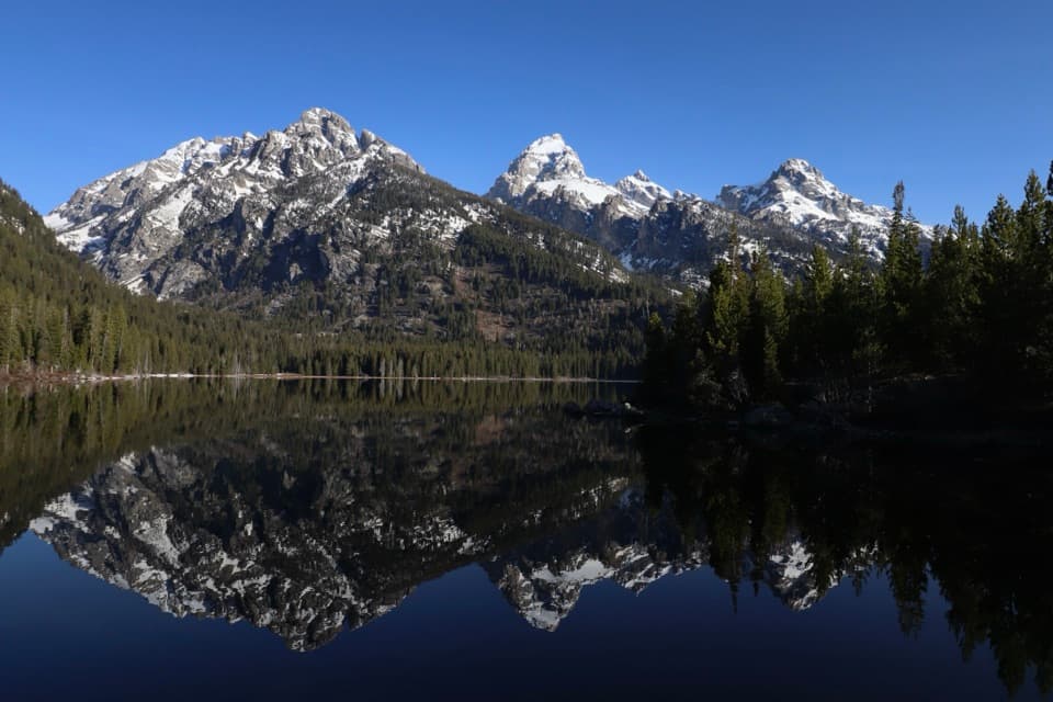 EasyTaggart Lake - Beaver Creek Loop3.8 mi · 2.5 hr · 2.8 mi awayA 3.8-mile lake loop with a moraine climb and creekside return.
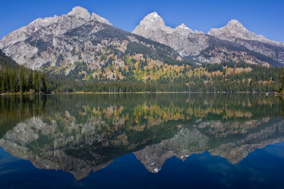 EasyTaggart Lake Trail3 mi · 1.5 hr · 2.8 mi awayA mellow climb through aspens to a lake under the Tetons.ModerateTaggart Lake–Bradley Lake Loop5.6 mi · 2.8 hr · 2.8 mi awayTwo alpine lakes and a ridge walk beneath the high Tetons.
 EasySchwabacher Landing Trail0.6 mi · 30 min · 3.7 mi awayBeaver ponds turn the Tetons into a morning mirror.
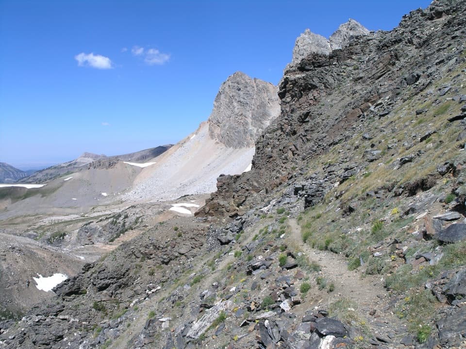 ChallengingStatic Peak Divide Trail16 mi · 10 hr · 4.2 mi awayA full-day climb to a high pass above Alaska Basin.
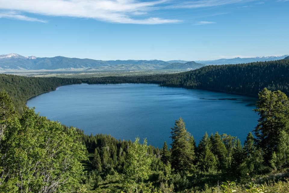 EasyPhelps Lake Overlook2 mi · 1.5 hr · 4.2 mi awayA short climb to a high view over Phelps Lake
 Sight · 0.4 mi awayBlacktail Ponds OverlookPatient scanning may pay off with moose or elk.
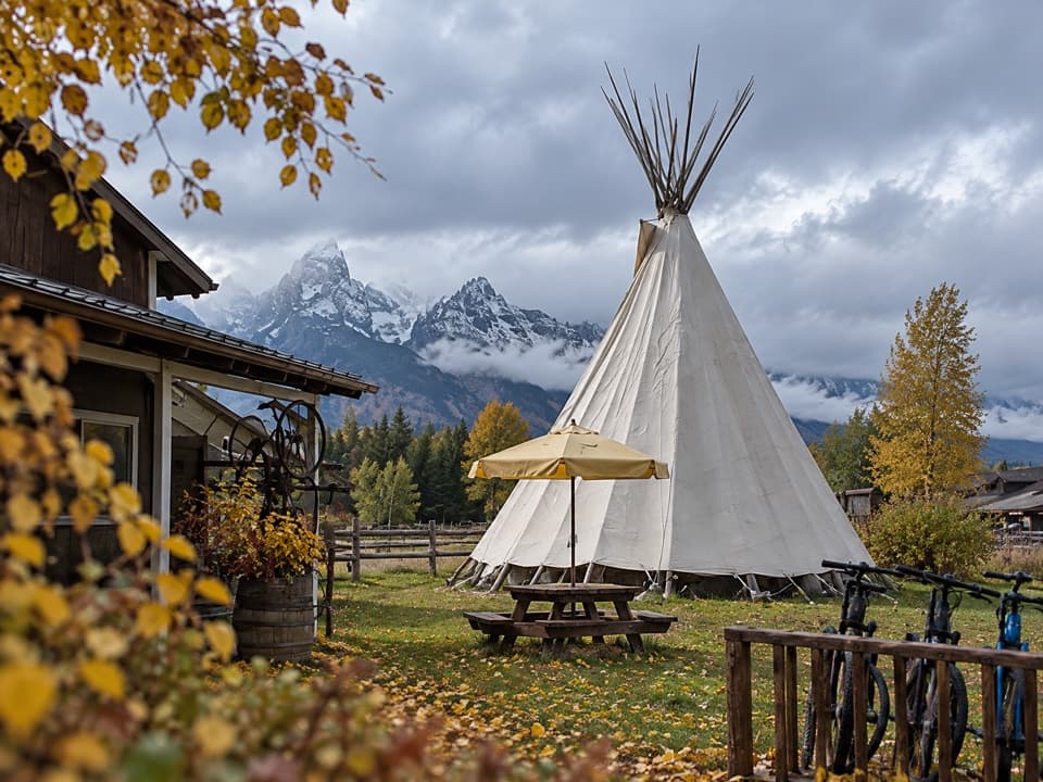 Food · 0.7 mi awayDornansFuel, groceries, and a meal share a stop with Teton views.
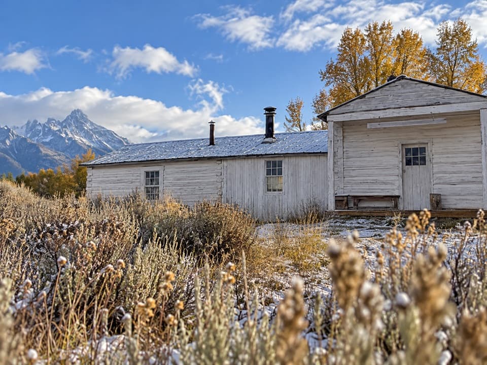 Sight · 0.7 mi awayMenors Ferry Historic DistrictSee how a simple ferry linked the early valley.
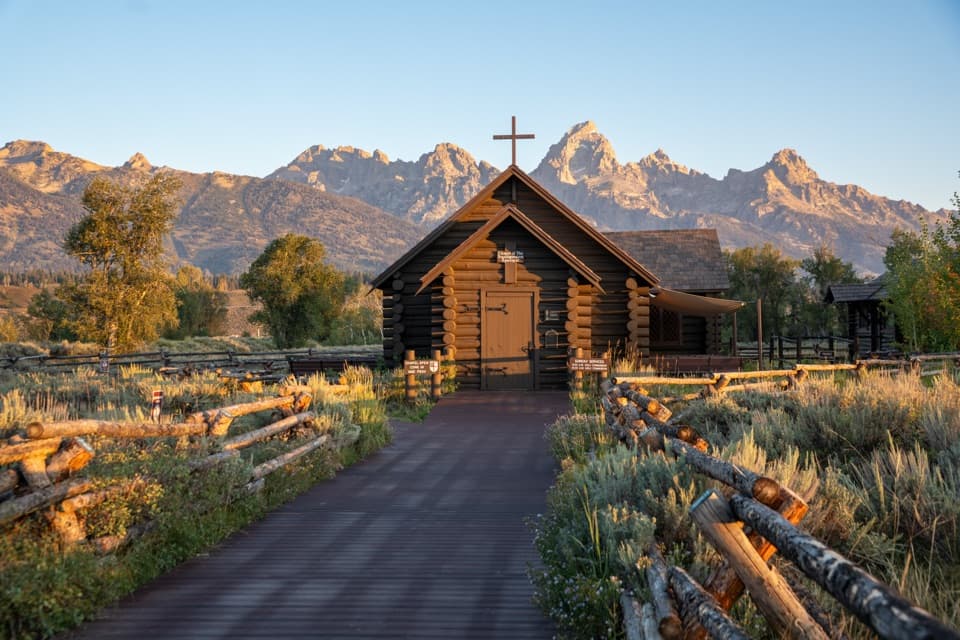 Sight · 0.9 mi awayChapel of the TransfigurationThe altar window frames the Tetons from inside.
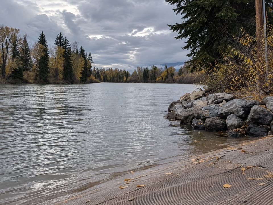 Sight · 0.9 mi awayMoose Landing Boat LaunchThe park’s main Snake River take-out and hand-launch.
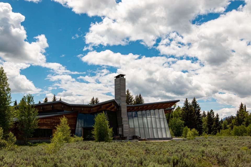 Visitor center · 1.2 mi awayCraig Thomas Discovery & Visitor CenterStart with the map, stay for the mountain reveal inside.
 Scenic pullout · 1.7 mi awayWindy Point TurnoutA quick view of the central Tetons, with pathway access.Sight · 1.7 mi awayMurie RanchA ranch home where the Muries helped shape modern conservation.
Parkwolf’s Grand Teton ranking
The audio tour guide for the drive, plus offline maps, trails, and wildlife heatmaps for when the signal drops.