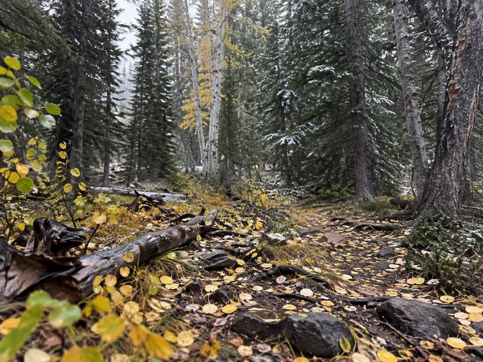
Lower Lehman Trail in Great Basin National Park

Great Basin National Park, NV

Lower Lehman Trail

A short creekside walk with about 230 feet of climbing.

Length
1.1mi
Time
45min
Elev. change
256ft
Difficulty
Moderate
  • No dogs
  • High point 7,621 ft

Hear the audio tour

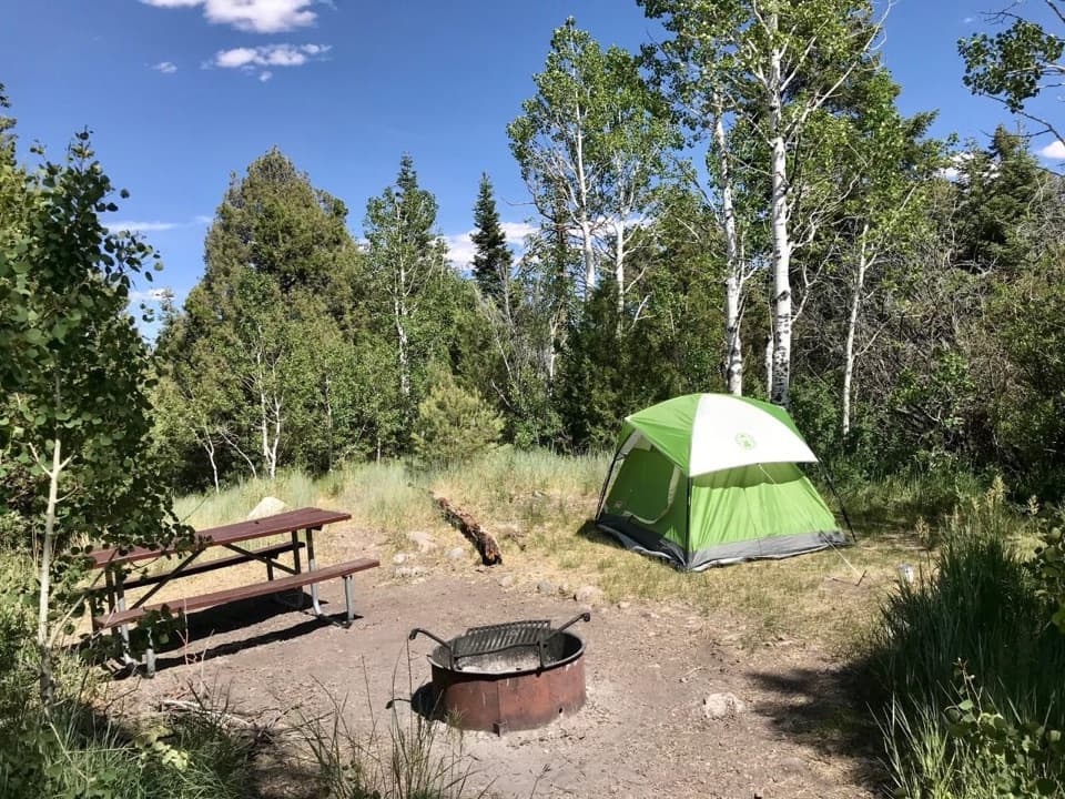
Lower Lehman Creek: Year-Round Camping

Overview

About Lower Lehman Trail

Why go

  • Creek and small cascades without a long high-country hike
  • Near the campground and day-use picnic area

Heads up

  • A short but steady climb
  • The park’s public hiking list does not identify this named path

Map & elevation

The route

Loading the Great Basin map
Full map
Elevation7,365–7,621 ft
TrailheadLower Lehman Creek Campground39.01654, -114.23965
Keep this map with you offline in the Parkwolf app

Plan your hike

Before you go

Parking

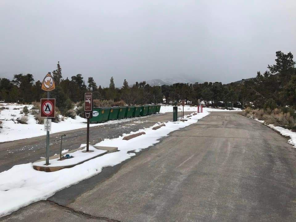
The mapped path begins at Lower Lehman Creek Campground and ends near the picnic-area lot marked for day use. Day visitors can use that lot to access the route from the other end; a separate trailhead parking arrangement at the campground side was not confirmed.


Safety

About 230 feet of climbing comes over a half-mile leg. The campground has no potable water, and the park’s public hiking inventory omits this path; verify the creekside access before starting.

4 active Great Basin alerts

  • CautionStage II fire restrictions prohibit outdoor fires and smokingStage II fire restrictions are active throughout Great Basin National Park because of extreme fire danger. - Do not use campfires, charcoal grills, or smoke outdoors anywhere in the park.Official details
  • CautionPotable water is unavailable at park campgroundsPotable water is currently unavailable in every Great Basin National Park campground; bring sufficient water or fill containers before settling in.Official details
See all 4 alerts
A park ranger sits on a dash-mounted phone, talking, as Parkwolf’s Tour Guide plays “Army Cutworm Moths: A Grizzly Bear Buffet” on Grand Loop Road below Dunraven Pass in Yellowstone
Parkwolf Tour GuideThe highest, rockiest slopes around here are a summer buffet for grizzly bears.

Great Basin Tour Guide

Your drive to Lower Lehman Trail, narrated.

Parkwolf is a GPS audio tour guide for Great Basin National Park. As you drive, it chimes in with what’s ahead: hidden gems, upcoming stops, history, geology, and wildlife, right through your car’s speakers.

Recorded for this trailhead

Lower Lehman Creek: Year-Round Camping
0:00 / 0:24
“Lower Lehman Creek Campground is ahead, the park's only year-round campground.”

Plays as you drive up to this trailhead in the Parkwolf Great Basin Tour Guide.

More stories near here in the app

  • Upper Lehman Creek: A Wooded Camping Base
  • The Jays with a Food Stash
  • A Jackrabbit’s Cooling Ears
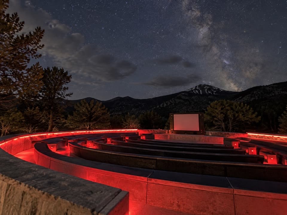
  • Astronomy Amphitheater: An Evening at the Telescopes
  • 36 audio storiesacross Great Basin’s roads, triggered by GPS as you drive
  • Wildlife heatmapsfor Elk, Mule Deer, Wild Turkey, and 13 more
  • Works offlinemaps, 29 trails, 29 places, and audio download before you lose signal
  • CarPlay readysimple controls built for the drive
★★★★★
“Fantastic app with many points of information… It’s great to just turn on while you’re driving and it gives you an audio tour of the national Park. We love it!!!!”
JMJamesApp Store review
Download Parkwolf on the App StoreGet Parkwolf on Google Play

4.7 from 8,600+ ratings

Trail guide

Hiking Lower Lehman Trail

A short creek walkLower Lehman Trail is a 1.

Lower Lehman Trail is a 1.1-mile out-and-back on a natural-surface path between Lower Lehman Creek Campground and the picnic-area day-use parking. The mapped path is about 0.54 mile one way; the listed distance includes walking back along the same corridor. It is a small-scale alternative when you want time beside Lehman Creek without taking on the much longer Lehman Creek Trail.

Stay by the waterThe path follows Lehman Creek through a wooded corridor, with small rapids and cascades along…

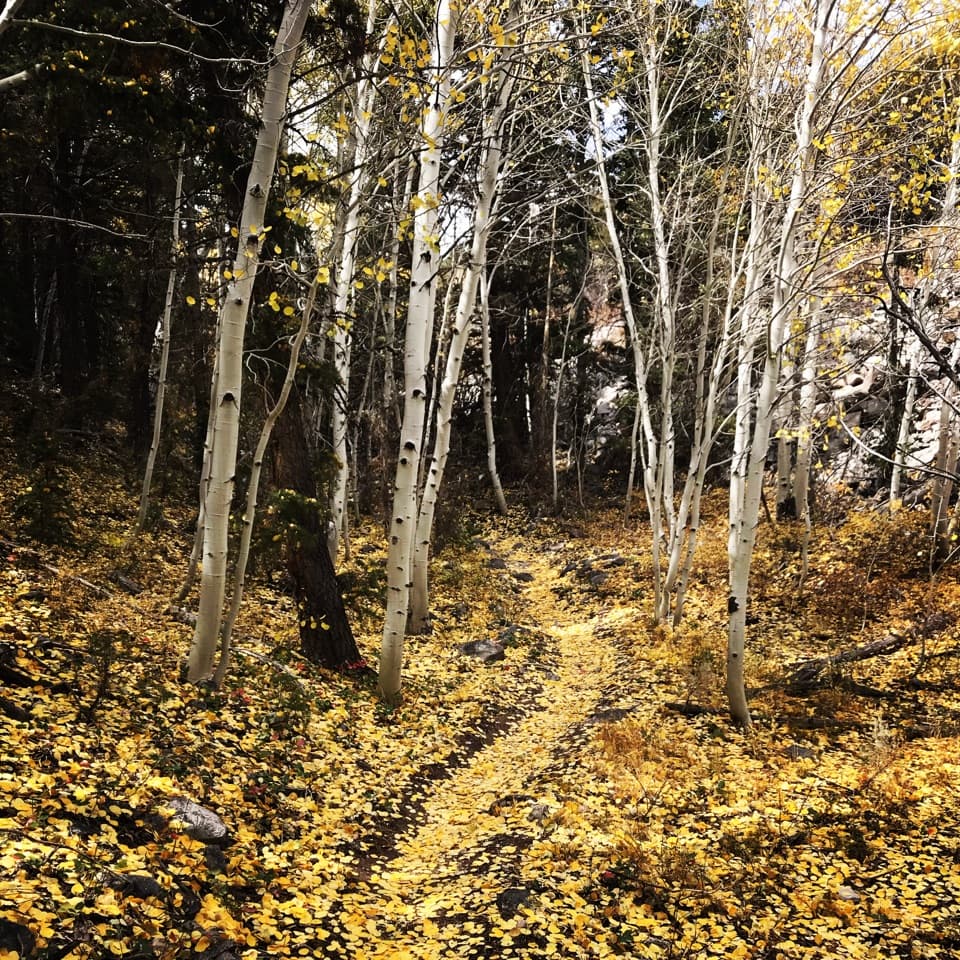
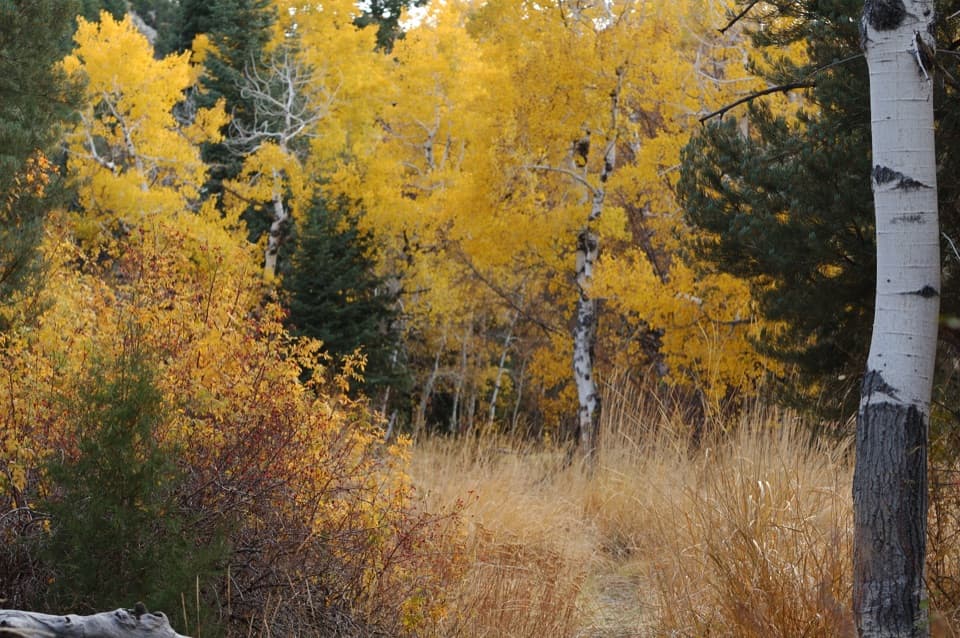
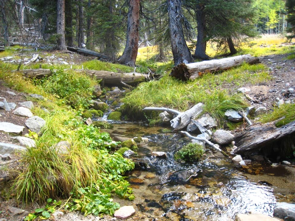
The path follows Lehman Creek through a wooded corridor, with small rapids and cascades along the stream. From the campground end it climbs roughly 230 feet over that half-mile leg, so it takes more effort than the distance suggests. Allow about 30 to 60 minutes, depending on stops. The creek and trees are the payoff; this is not a viewpoint or destination hike.

Find the pathThe mapped route begins on the Lower Lehman Creek Campground side and ends near the picnic-area…

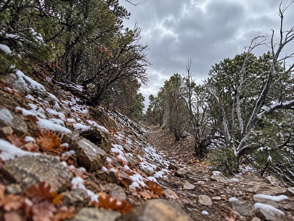
The mapped route begins on the Lower Lehman Creek Campground side and ends near the picnic-area day-use lot. The park’s public hiking pages don’t identify this named path, and a signed trailhead could not be confirmed, so check for the creekside path before starting. The campground has vault toilets but no potable water. Dogs aren’t allowed on park trails.

Wildlife

Wildlife in Great Basin

All Great Basin wildlife maps

Sighting maps show where each species has been reported across Great Basin. Wildlife moves, so no sighting is guaranteed.

Keep exploring

Near Lower Lehman Trail

See it all on the map

Trails that start nearby

Places near the trailhead

Parkwolf’s Great Basin ranking

Top-rated trails in Great Basin

All 29 trails
  1. 1Bristlecone TrailModerate · 2.8 mi
  2. 2Wheeler Peak Summit TrailChallenging · 8.6 mi
  3. 3Alpine Lakes LoopEasy · 2.7 mi
  4. 4Glacier TrailModerate · 4.8 mi
  5. 5Alpine Lakes, Bristlecone, and Glacier LoopChallenging · 6 mi
  6. 6Baker & Johnson Lakes LoopChallenging · 11.7 mi

Take Parkwolf to Great Basin.

The audio tour guide for the drive, plus offline maps, trails, and wildlife heatmaps for when the signal drops.

4.7 from 8,600+ ratings

Download Parkwolf on the App StoreGet Parkwolf on Google Play