Parking
Start at Split Point Lighthouse, 20–24 Federal Street, Aireys Inlet; finish at Fairhaven Surf Life Saving Club. Plan a pickup or walk back for the return. Parking capacity and fees are not specified in the route information.

Great Ocean Road, VIC
Easy coastal lookouts from Split Point to Fairhaven
Overview
Map & elevation
Plan your hike

The highest, rockiest slopes around here are a summer buffet for grizzly bears.
Great Ocean Road Tour Guide
Parkwolf is a GPS audio tour guide for Great Ocean Road. As you drive, it chimes in with what’s ahead: hidden gems, upcoming stops, history, geology, and wildlife, right through your car’s speakers.
See the Great Ocean Road audio tourRecorded for this trailhead
Split Point Lighthouse“You're nearing Split Point Lighthouse at Aireys Inlet, a working light first lit in eighteen ninety-one.”
Plays as you drive up to this trailhead in the Parkwolf Great Ocean Road Tour Guide.
More stories near here in the app
“Fantastic app with many points of information… It’s great to just turn on while you’re driving and it gives you an audio tour of the national Park. We love it!!!!”


Trail guide
This is the final 2.14 km one-way section of the Surf Coast Walk, from Split Point Lighthouse to Fairhaven Surf Life Saving Club. It follows a narrow, well-formed coastal track with gentle hills. A direct walk takes about 32 minutes; allow around 45 minutes if you stop at the lookouts. If you need to get back to Aireys Inlet, arrange a pickup in Fairhaven or walk back the same way for about 4.3 km total.
You start among the Split Point Lighthouse lookouts, with Eagle Rock as the walk’s most recognizable sea-stack view. For a photo, keep a strip of the low coastal scrub or lookout path in the foreground to give the rock some scale. The route then dips through low coastal growth toward three named viewpoints around Painkalac Creek. Whale-sighting spots are noted along this coast, though a sighting is never guaranteed.
The route crosses Painkalac Creek along the Great Ocean Road, then finishes at the Fairhaven Surf Life Saving Club entrance. The lookout stops are the main reason to take your time; this is a short link between two coastal settlements rather than a long wilderness hike. The route interpretation describes this as a crossing of an ancient tribal boundary within Wadawurrung Country.
The track is described as easy, narrow and gently hilly. Published descriptions disagree on steps: one lists a few while another lists none. Check locally if you need a step-free path. Dogs are allowed on leash. Public toilets are listed at the Reserve Road toilet block and Aireys Inlet Reserve near the start; drinking water and seating are listed along the walk, but their exact locations aren't specified.
Wildlife
 900 sightingsKoalaMost seen around 5 PMSighting map
 358 sightingsKangarooMost seen around 6 PMSighting map
 49 sightingsLittle PenguinMost seen around 8 PMSighting map
 155 sightingsEchidnaMost seen around 6 PMSighting map
 33 sightingsFur SealMost seen around 6 PMSighting map
 59 sightingsRed-necked WallabyMost seen around 6 AMSighting map
Sighting maps show where each species has been reported across Great Ocean Road. Wildlife moves, so no sighting is guaranteed.
Keep exploring
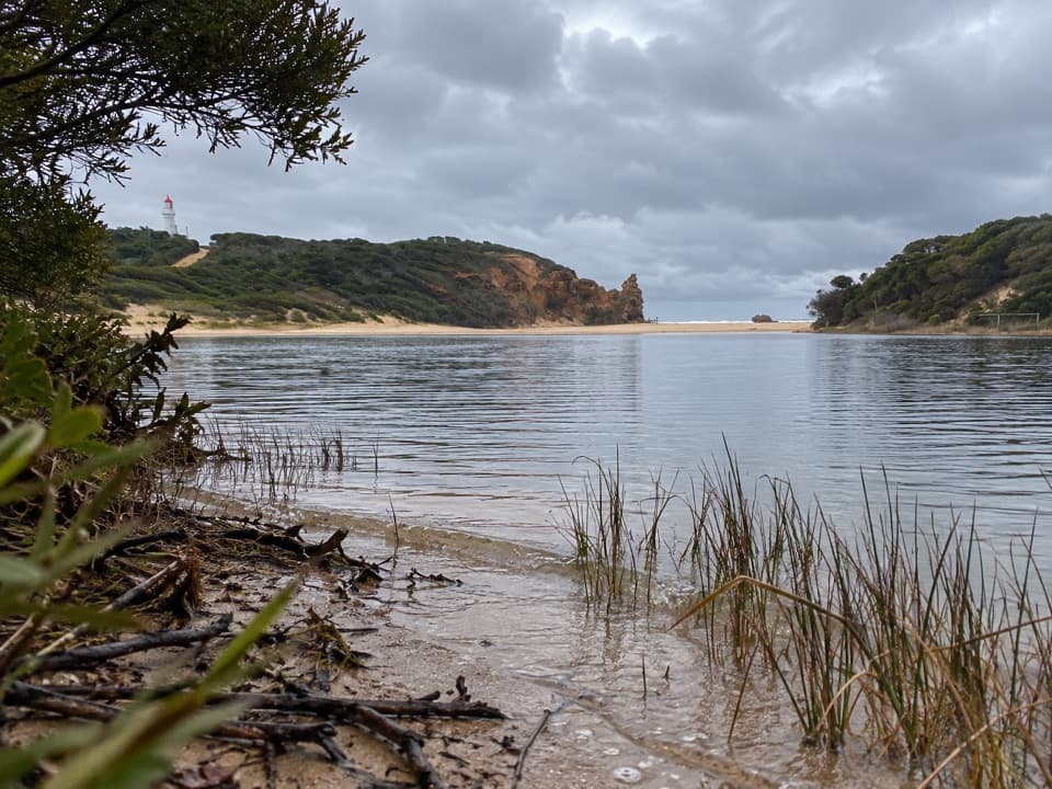 EasyPainkalac Nature Walk2.5 km · 45 min · 1 km awaySeven QR stops unpack the estuary's plants, animals and pressures.EasyAireys Clifftops Walk2.7 km · 54 min · 2.3 km awayAn easy clifftop walk from Sunnymead Beach to Split Point Lighthouse.
 EasyDistillery Creek Ephemeral Wetlands Walk0.3 km · 15 min · 2.7 km awayA short boardwalk ends at a wetland that comes and goes.
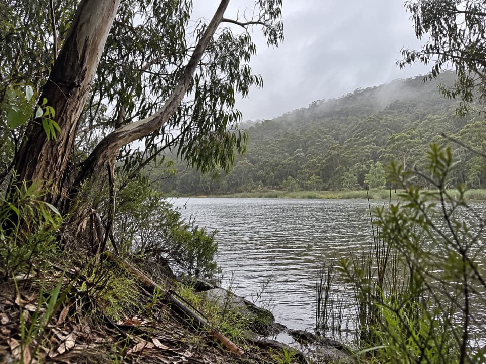 ModerateDistillery Creek to Moggs Creek Walk7.5 km · 2.5 hr · 2.8 km awayForest tracks and Painkalac Dam, with a car shuttle to Moggs Creek.
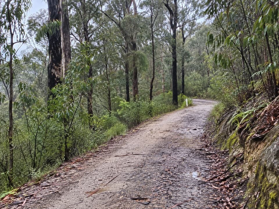 EasyAireys Inlet Woodland Circuit4.5 km · 1.5 hr · 2.9 km awayIronbark woodland shifts to a leafy creekside track.
 ModerateIronbark Gorge Track4.5 km · 1.5 hr · 3 km awayA gorge loop with rocky views, creek bridges and ferns.
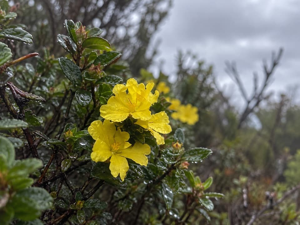 EasyTed’s Ridge Track1.6 km · 45 min · 3 km awayA short heath walk for grass trees, orchids and spring flowers.
 ModerateDistillery Creek–Ted’s Ridge Track Circuit4 km · 1.5 hr · 3.2 km awayClimb to Ted’s Ridge for coastal views on a short woodland loop.
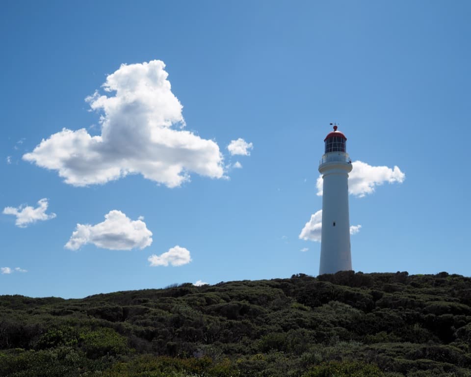 Sight · At the trailheadSplit Point LighthouseA working lighthouse climb with sweeping views over Bass Strait.
 Sight · 0.3 km awayBark Hut ReserveA bark hut connects Aireys Inlet to its early settler story.
 Restaurant · 0.8 km awayA La GrecqueGreek seafood, a big veranda, and a fireplace for cooler days.
 Picnic area · 2.8 km awayDistillery Creek Picnic AreaShady tables and an easy forest loop off the Great Ocean Road.
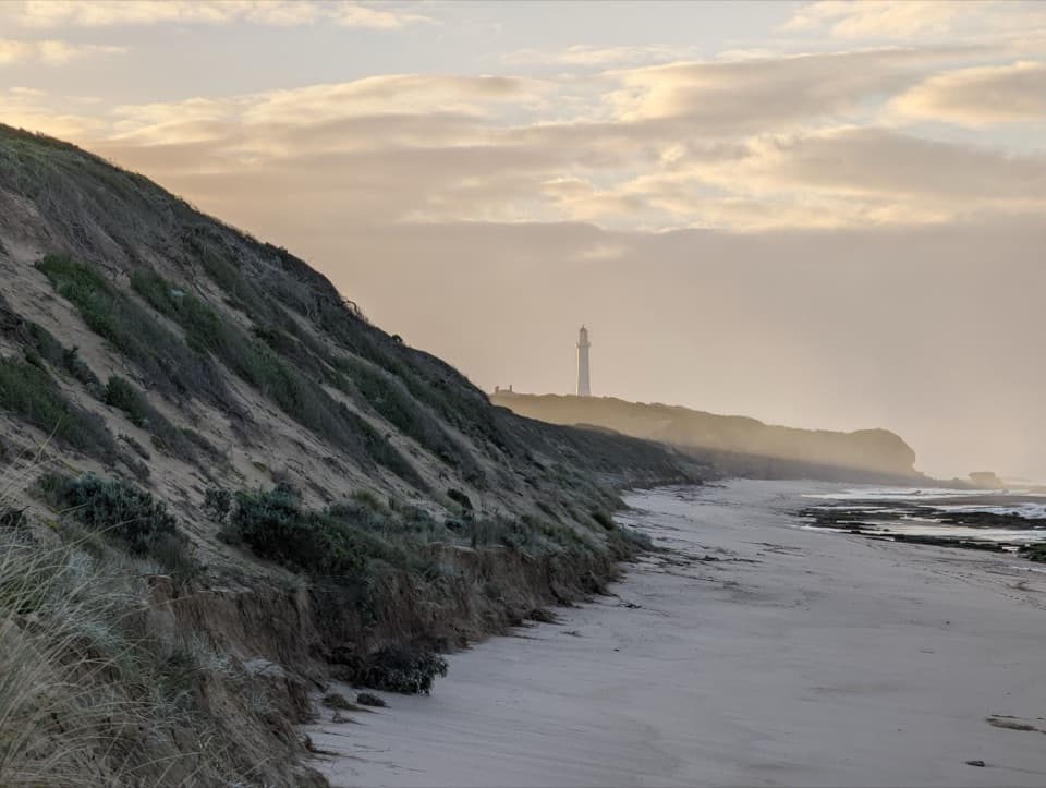 Beach · 3.2 km awayFairhaven BeachSix kilometres of open sand for a long coastal walk.
 Picnic area · 4 km awayMoggs Creek Picnic AreaPicnic in eucalypt forest, then walk out to a coastal lookout.
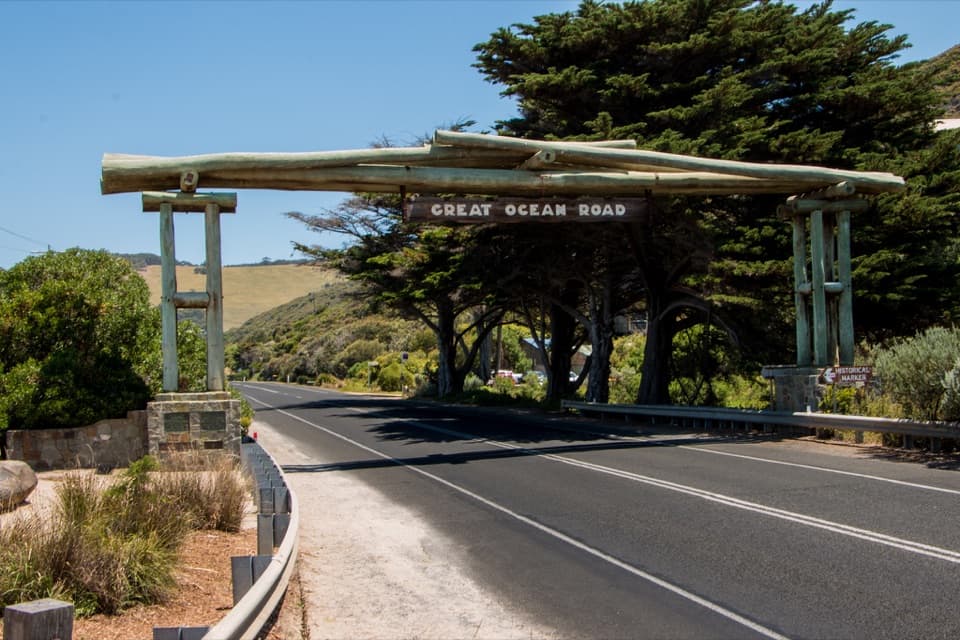 Sight · 5.2 km awayGreat Ocean Road Memorial ArchA quick pause for the timber arch and the roadworkers' memorial.
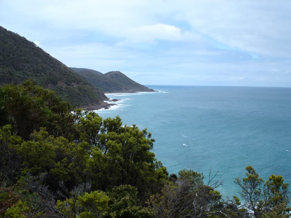 Sight · 6.9 km awayCinema Point LookoutA roadbuilders’ plaque beside a panorama that trees may screen.
Parkwolf’s Great Ocean Road ranking

The audio tour guide for the drive, plus offline maps, trails, and wildlife heatmaps for when the signal drops.





