Parking
Start at the Anglesea Visitor Information Centre on Great Ocean Road; the route map marks parking beside the start. Coogoorah Park and Point Roadknight provide alternate access for shorter sections.
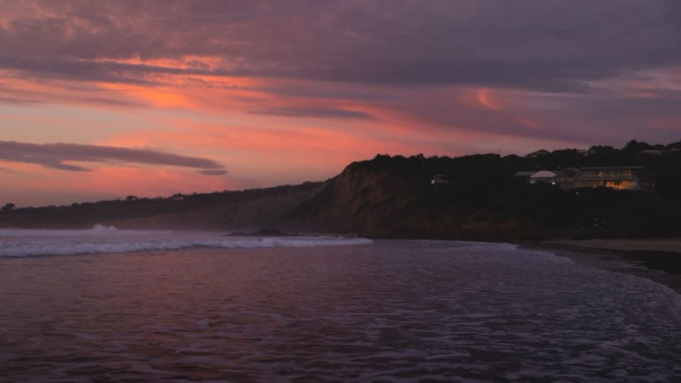
Great Ocean Road, VIC
A full loop from river boardwalks to heathland and clifftop views.
Overview
The Anglesea Perimeter Walk is a signed full-day loop from the Anglesea Visitor Information Centre, linking river, heathland, wetlands and the coast. The official headline is 22 km (13.67 miles), usually a 6–7 hour walk with stops. The six printed leg estimates add to about 19.9 km, close to the reconstructed 19.84 km route; treat the headline as an approximate full-circuit distance. Two roughly 11 km halves can be walked separately in about 3–4 hours each.
Map & elevation
Plan your hike

The highest, rockiest slopes around here are a summer buffet for grizzly bears.
Great Ocean Road Tour Guide
Parkwolf is a GPS audio tour guide for Great Ocean Road. As you drive, it chimes in with what’s ahead: hidden gems, upcoming stops, history, geology, and wildlife, right through your car’s speakers.
See the Great Ocean Road audio tourRecorded for this trailhead
Anglesea Main Beach and River Mouth“Anglesea Main Beach is coming up, where the river mouth meets a broad curve of sand beneath low orange cliffs.”
Plays as you drive up to this trailhead in the Parkwolf Great Ocean Road Tour Guide.
More stories near here in the app
“Fantastic app with many points of information… It’s great to just turn on while you’re driving and it gives you an audio tour of the national Park. We love it!!!!”


Trail guide
From the visitor centre the route crosses the Anglesea River and follows the river and campground edge toward the coast. It joins clifftop sections of the Surf Coast Walk, with open views along the shore. The circuit then leaves the coast by a firebreak and Hurst Drive, passes the Eumeralla Scout Camp area and follows Don’s Track toward a lookout above town. From there it turns by the cricket ground and Ellimatta Reserve, crossing Great Ocean Road before heading inland again.
The route follows Ixodia, Black Wattle and Powerline tracks, then Camp Road and Bingley toward Coogoorah Park. The inland walking feels different from the coastal path: broad vehicle tracks and sandy or gravelly firebreaks cross low heath and woodland, with occasional clearings back toward Anglesea. Coogoorah’s boardwalks cross wetland islands and make a good pause for birdwatching. Toilets and picnic facilities are at the park; carry drinking water for the full circuit.
From Coogoorah, the route climbs behind the ship-shaped playground, passes through Alcoa Reserve and approaches the former open-cut mine before climbing Messmate Track to Mt Ingoldsby. The summit gives a broad view across heath, the town edge and the rehabilitating mine landscape. Anglesea’s heathlands became part of Great Otway National Park in 2017 after Alcoa surrendered most of its lease, so this stretch pairs a varied native landscape with a visible local industrial history.
Beyond Mt Ingoldsby, the circuit reaches Harvey Street and follows tracks through O’Donohue Reserve. Late winter and spring bring ground orchids and other heathland flowers around this section. The route crosses Great Ocean Road and reaches Point Roadknight, where beach and clifftop sections lead back toward the river and visitor centre. Follow the W96 steps and clifftop path when the tide or surf makes the shoreline unsuitable; this section has wet, slippery rocks and unstable cliff edges.
This is a long walk on mixed coast paths, sand, gravel roads and rough firebreaks, with several climbs and three Great Ocean Road crossings. Powerline Track between the route’s C and D markers is steep and deeply rutted; clay can turn slick when wet, so it is best for suitably equipped walkers. Stay on the marked tread through sensitive heathland, and clean footwear before and after the walk to limit the spread of plant disease. Dogs are permitted on lead through the National Park sections; follow local reserve rules through town.
Wildlife
 900 sightingsKoalaMost seen around 5 PMSighting map
 358 sightingsKangarooMost seen around 6 PMSighting map
 49 sightingsLittle PenguinMost seen around 8 PMSighting map
 155 sightingsEchidnaMost seen around 6 PMSighting map
 33 sightingsFur SealMost seen around 6 PMSighting map
 59 sightingsRed-necked WallabyMost seen around 6 AMSighting map
Sighting maps show where each species has been reported across Great Ocean Road. Wildlife moves, so no sighting is guaranteed.
Keep exploring
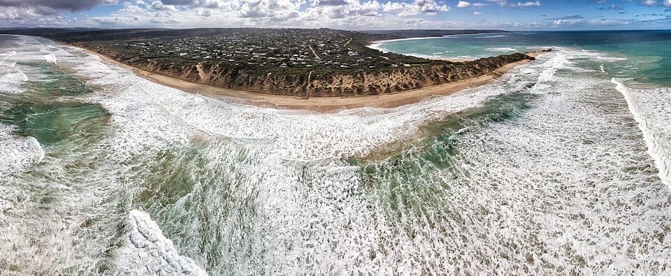 EasyPoint Roadknight Walk2.7 km · 40 min · At the trailheadBlufftop views reward an easy walk to Point Roadknight Beach.
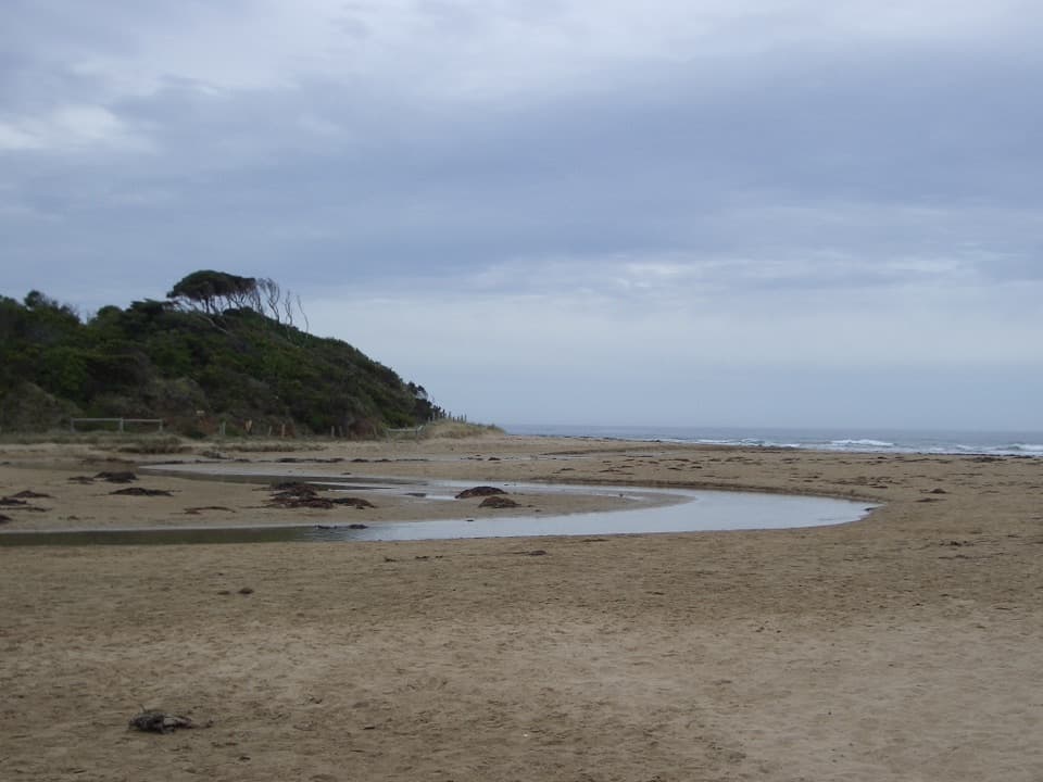 EasyAnglesea Riverbanks Walk1.4 km · 20 min · 0.5 km awayA flat river path from Anglesea’s river mouth into town.
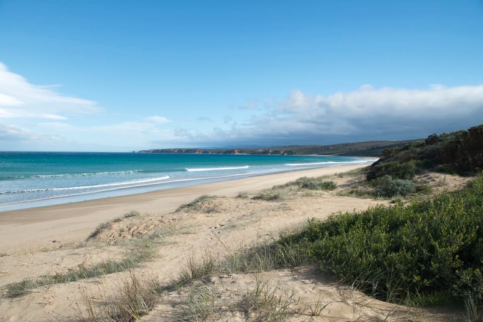 ModerateBeach Combing Walk (Point Roadknight to Urquhart Bluff)4.5 km · 1.3 hr · 2.1 km awayWalk the beach at low tide with Split Point Lighthouse in view.
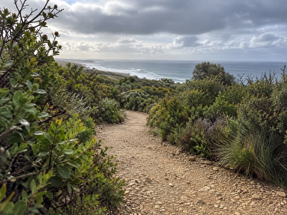 EasyRed Rocks Lookout Walk1.3 km · 30 min · 3.5 km awayA short coastal path to Red Rocks views and beach access.
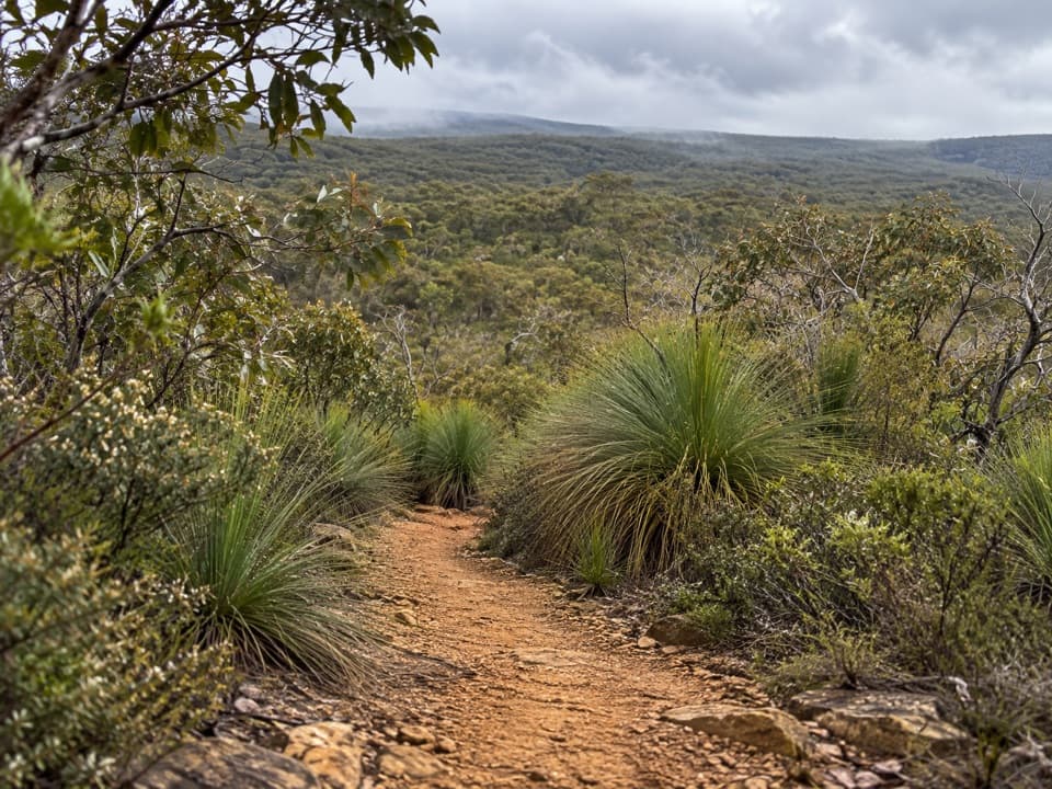 ModerateYan Wirring Mirr Loop4.5 km · 2.3 hr · 4.6 km awayA 4.5 km heath loop with coast, creek and wildflowers.
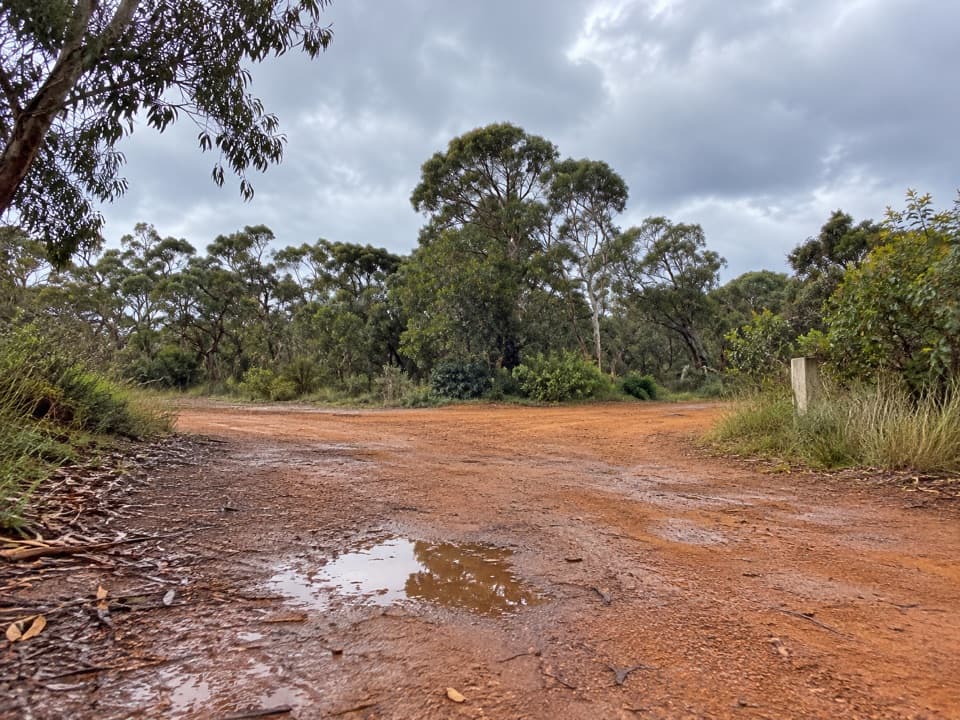 ModerateShiney Eye Circuit7.9 km · 3.5 hr · 5.2 km awayWildflowers, open heath and views over Anglesea.
 ModerateUrquhart Circuit4.5 km · 1.5 hr · 5.7 km awayRock pools and a low-tide scramble on the coast.
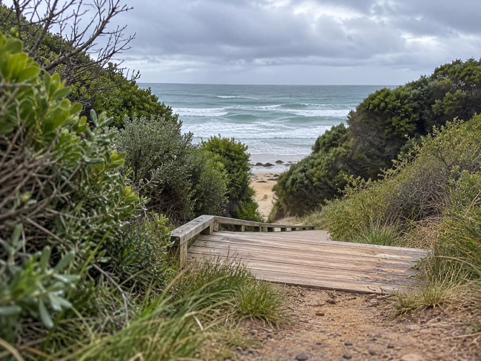 ModerateUrquhart Bluff to Sunnymead Walk3 km · 45 min · 5.7 km awayA short, rough coastal leg to Sunnymead’s secluded cove
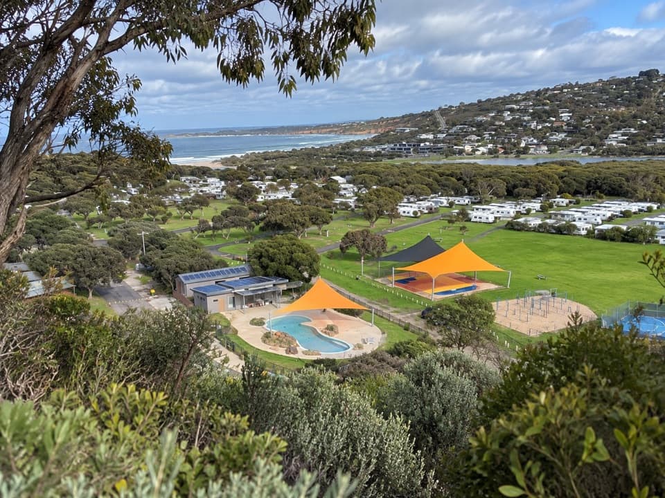 Campground · 0.5 km awayAnglesea Family Caravan ParkCamp beside Anglesea River, with beach and town a short walk away.
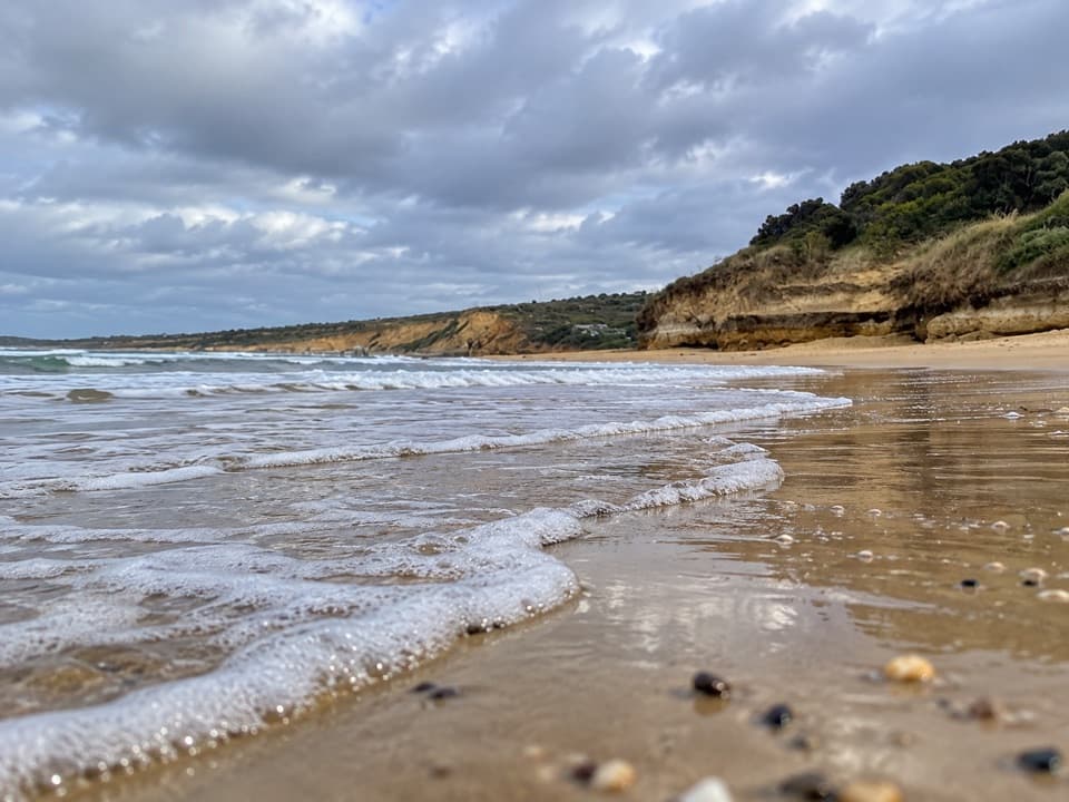 Beach · 0.5 km awayAnglesea Main BeachSand, surf, and the river meeting at Anglesea’s main beach.
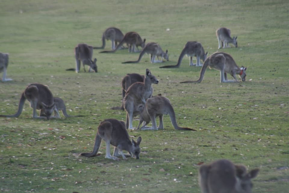 Sight · 1.5 km awayAnglesea Golf Club Kangaroo ToursA guided ride past Anglesea Golf Club’s resident kangaroos.Beach · 2.1 km awayPoint RoadknightA sheltered surf bay with low-tide rock pools.
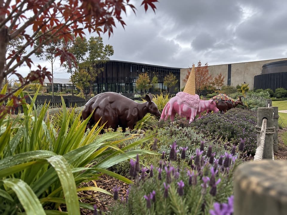 Sight · 4.4 km awayThe Chocolateries Great Ocean RoadA working chocolaterie for free samples, ice cream and lunch.
 Sight · 5.9 km awayPoint Addis LookoutTwo lookouts, broad coastal views, and stairs to the beach below.
 Picnic area · 8.9 km awayDistillery Creek Picnic AreaShady tables and an easy forest loop off the Great Ocean Road.
 Restaurant · 9 km awayA La GrecqueGreek seafood, a big veranda, and a fireplace for cooler days.
Parkwolf’s Great Ocean Road ranking

The audio tour guide for the drive, plus offline maps, trails, and wildlife heatmaps for when the signal drops.




