Parking
Start at the Point Roadknight Beach car park and finish at Urquhart Bluff. O’Donohue Road, Gulch Gap, Guvvos and Hutt Gully have access points along the coast. Arrange a pickup at the far end or walk back along the beach.
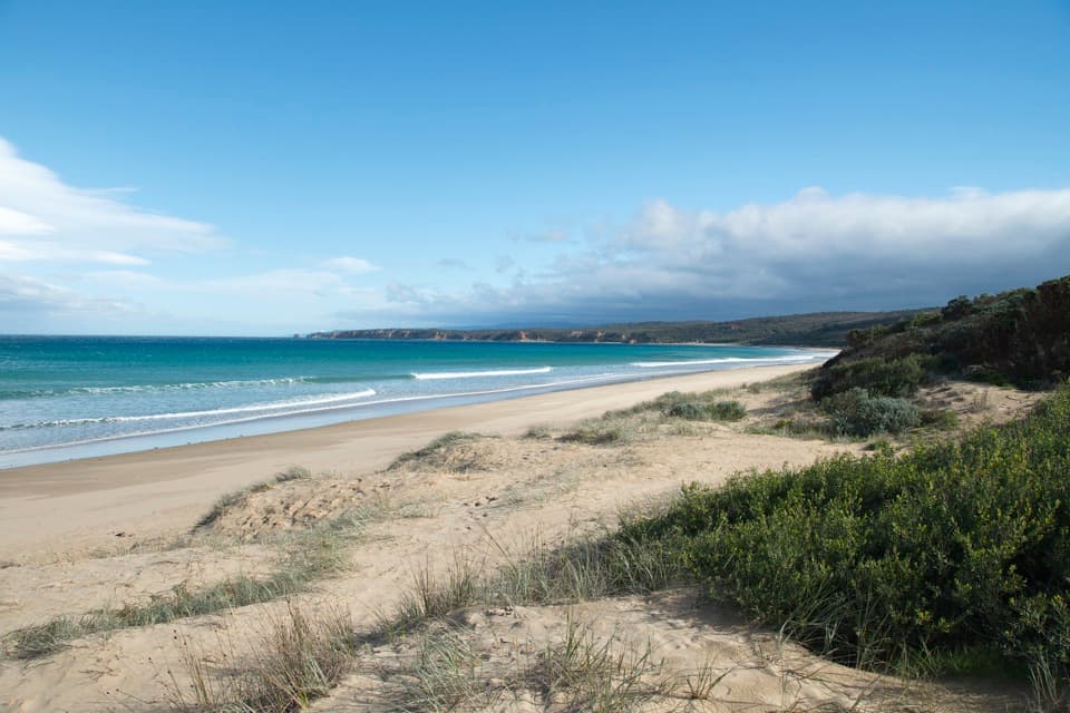
Great Ocean Road, VIC
Walk the beach at low tide with Split Point Lighthouse in view.
Overview
Map & elevation
Plan your hike

The highest, rockiest slopes around here are a summer buffet for grizzly bears.
Great Ocean Road Tour Guide
Parkwolf is a GPS audio tour guide for Great Ocean Road. As you drive, it chimes in with what’s ahead: hidden gems, upcoming stops, history, geology, and wildlife, right through your car’s speakers.
See the Great Ocean Road audio tourRecorded for this trailhead
Point Roadknight“Up ahead is Point Roadknight, where a low rocky point and reef shelter the bay from the open surf. I'd stop here for a beach break, especially at low tide when more of the rock pools and formations are exposed.”
Plays as you drive up to this trailhead in the Parkwolf Great Ocean Road Tour Guide.
More stories near here in the app
“Fantastic app with many points of information… It’s great to just turn on while you’re driving and it gives you an audio tour of the national Park. We love it!!!!”


Trail guide
This is the 4.5 km (2.8 mile) one-way beach walk from Point Roadknight to Urquhart Bluff on the Surf Coast Walk. Allow about 1¼ hours for the sandy shoreline; the published walking estimate is 1 hour 7 minutes, but soft sand and beach stops slow the pace. It is a point-to-point route, not a loop, so arrange a pickup at Urquhart Bluff or walk back for roughly 9 km total.
Plan around low tide. The beach is the route, and the useful walking space changes with the water; no precise safe tide window is published. O'Donohue Road, Gulch Gap, Guvvos and Hutt Gully give you ways onto or off the beach, so you can shorten the outing by turning around at an access point. Check the tide and local beach conditions before setting out.
Split Point Lighthouse stays visible across the route, with long sand, surf and low coastal scrub filling the foreground. If you stop for a photo, include some beach or water around the lighthouse; the surrounding coast gives the small beacon its scale. At the Urquhart Bluff end, pause to look along the shore before leaving the beach.
Look out for beach-nesting birds and give resting seals room. Dogs are prohibited on Point Roadknight point and backbeach year-round, so this is not a dog walk. Point Roadknight Beach has a barbecue facility, and public toilets are listed at Urquhart Bluff; there is no food or drinking water listed along the beach itself.
Wildlife
 900 sightingsKoalaMost seen around 5 PMSighting map
 358 sightingsKangarooMost seen around 6 PMSighting map
 49 sightingsLittle PenguinMost seen around 8 PMSighting map
 155 sightingsEchidnaMost seen around 6 PMSighting map
 33 sightingsFur SealMost seen around 6 PMSighting map
 59 sightingsRed-necked WallabyMost seen around 6 AMSighting map
Sighting maps show where each species has been reported across Great Ocean Road. Wildlife moves, so no sighting is guaranteed.
Keep exploring
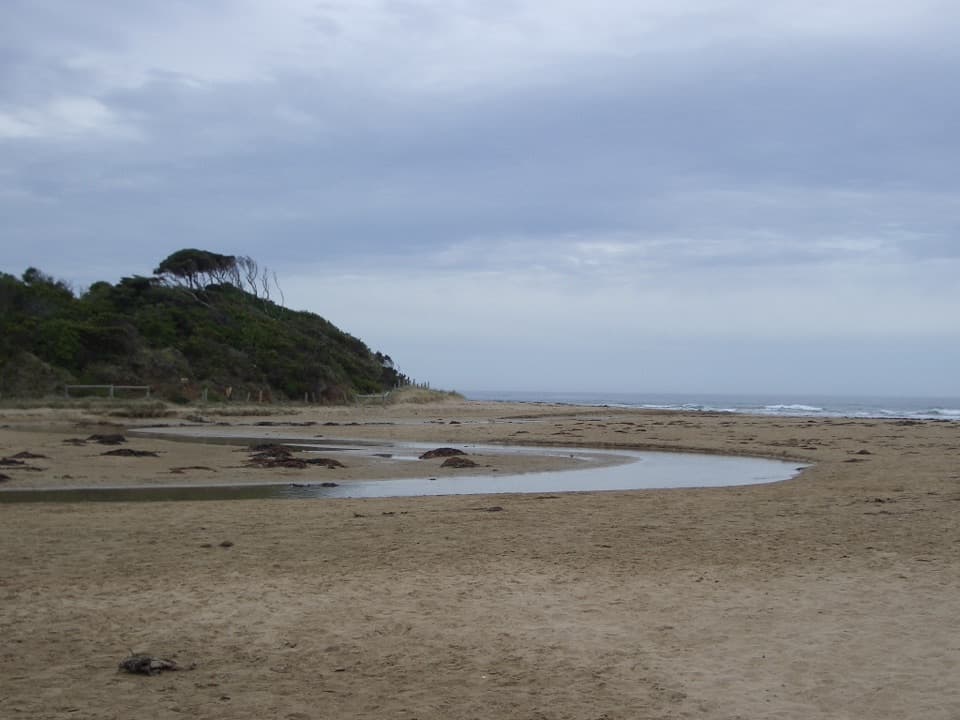 EasyAnglesea Riverbanks Walk1.4 km · 20 min · 2.1 km awayA flat river path from Anglesea’s river mouth into town.
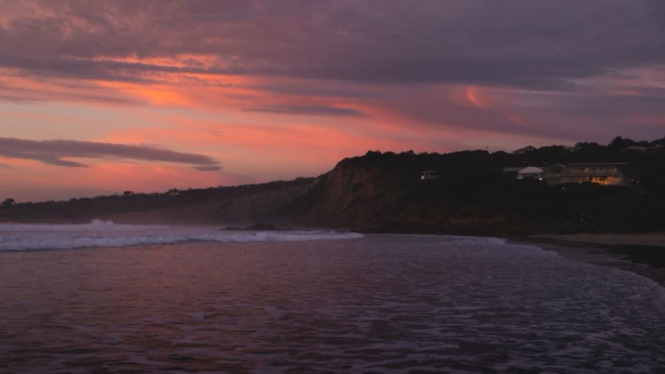 ModerateAnglesea Perimeter Walk22 km · 6.5 hr · 2.1 km awayA full loop from river boardwalks to heathland and clifftop views.
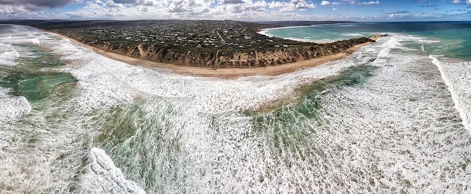 EasyPoint Roadknight Walk2.7 km · 40 min · 2.1 km awayBlufftop views reward an easy walk to Point Roadknight Beach.
 ModerateUrquhart Circuit4.5 km · 1.5 hr · 4.3 km awayRock pools and a low-tide scramble on the coast.
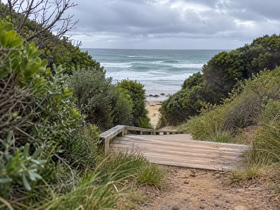 ModerateUrquhart Bluff to Sunnymead Walk3 km · 45 min · 4.3 km awayA short, rough coastal leg to Sunnymead’s secluded cove
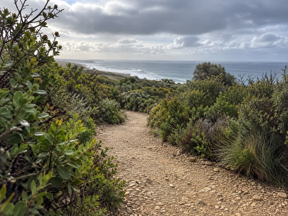 EasyRed Rocks Lookout Walk1.3 km · 30 min · 5.2 km awayA short coastal path to Red Rocks views and beach access.
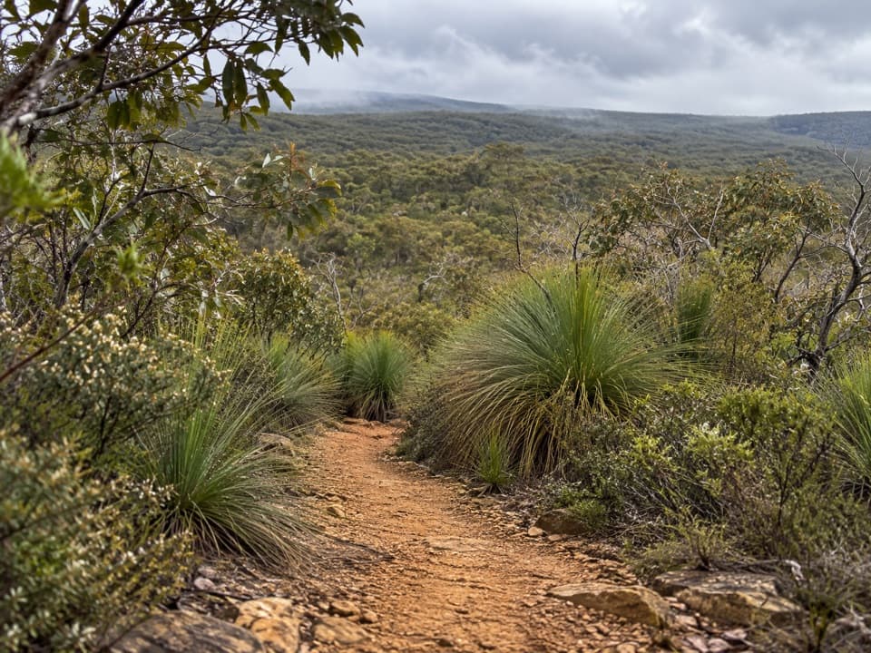 ModerateYan Wirring Mirr Loop4.5 km · 2.3 hr · 5.6 km awayA 4.5 km heath loop with coast, creek and wildflowers.
 EasyAireys Clifftops Walk2.7 km · 54 min · 5.8 km awayAn easy clifftop walk from Sunnymead Beach to Split Point Lighthouse.Beach · At the trailheadPoint RoadknightA sheltered surf bay with low-tide rock pools.
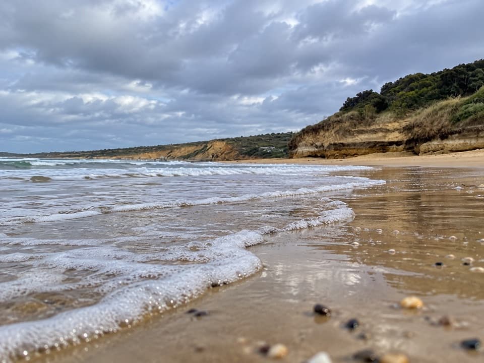 Beach · 1.6 km awayAnglesea Main BeachSand, surf, and the river meeting at Anglesea’s main beach.
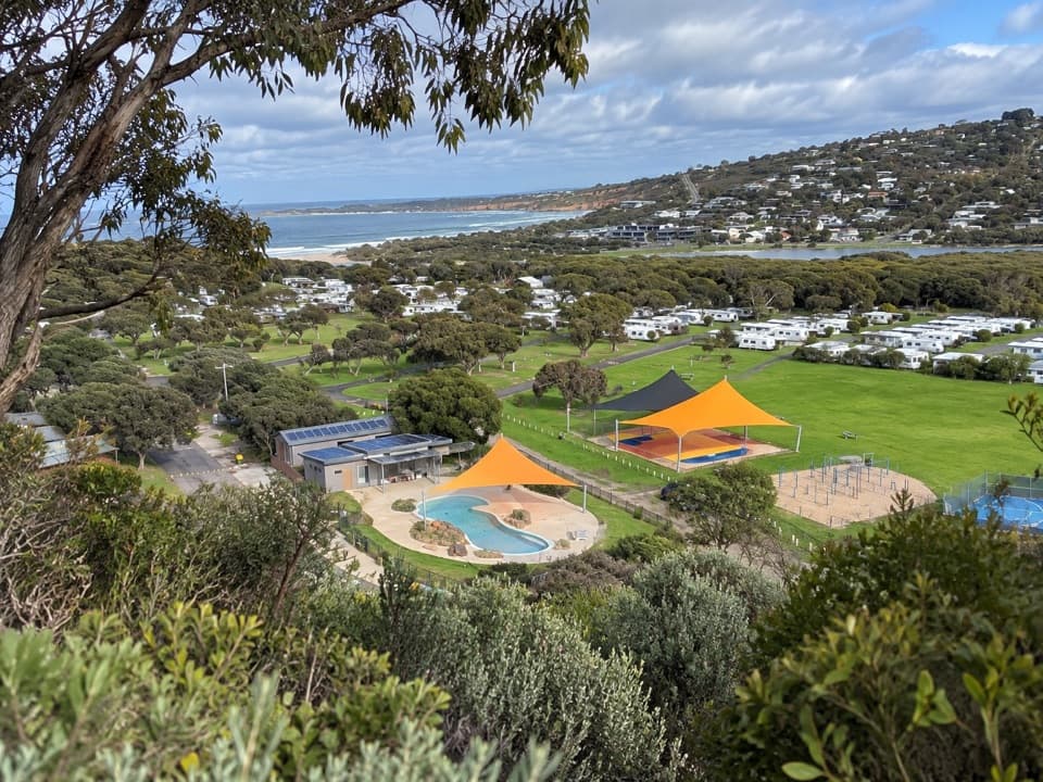 Campground · 2.3 km awayAnglesea Family Caravan ParkCamp beside Anglesea River, with beach and town a short walk away.
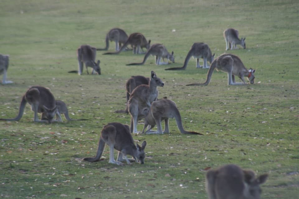 Sight · 2.5 km awayAnglesea Golf Club Kangaroo ToursA guided ride past Anglesea Golf Club’s resident kangaroos.
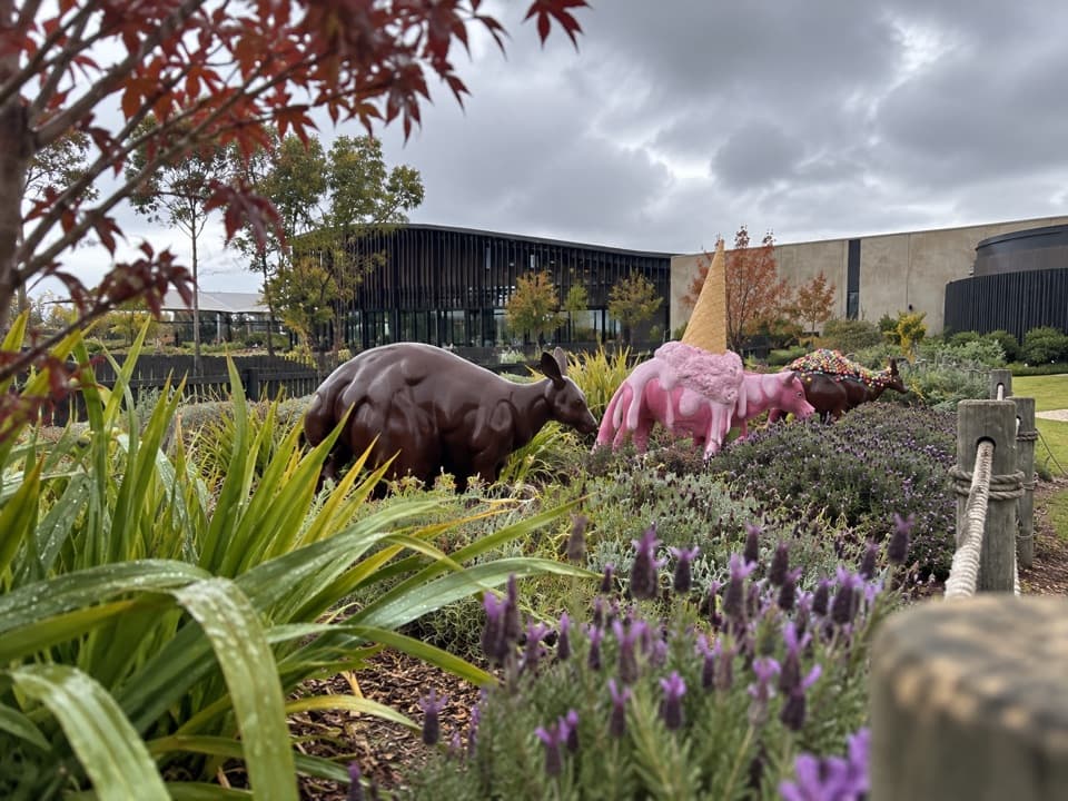 Sight · 6.5 km awayThe Chocolateries Great Ocean RoadA working chocolaterie for free samples, ice cream and lunch.
 Restaurant · 7.3 km awayA La GrecqueGreek seafood, a big veranda, and a fireplace for cooler days.
 Sight · 7.5 km awayPoint Addis LookoutTwo lookouts, broad coastal views, and stairs to the beach below.
 Picnic area · 7.5 km awayDistillery Creek Picnic AreaShady tables and an easy forest loop off the Great Ocean Road.
Parkwolf’s Great Ocean Road ranking

The audio tour guide for the drive, plus offline maps, trails, and wildlife heatmaps for when the signal drops.




