Parking
Follow the gravel approach to the final 300 m of Alcoa Boundary Track and park near Bundjil Mirr Lookout. Lot capacity and fees were not confirmed.
Great Ocean Road, VIC
A 4.5 km heath loop with coast, creek and wildflowers.
Overview
Map & elevation
Plan your hike

The highest, rockiest slopes around here are a summer buffet for grizzly bears.
Great Ocean Road Tour Guide
Parkwolf is a GPS audio tour guide for Great Ocean Road. As you drive, it chimes in with what’s ahead: hidden gems, upcoming stops, history, geology, and wildlife, right through your car’s speakers.
See the Great Ocean Road audio tourMore stories near here in the app
“Fantastic app with many points of information… It’s great to just turn on while you’re driving and it gives you an audio tour of the national Park. We love it!!!!”


Trail guide
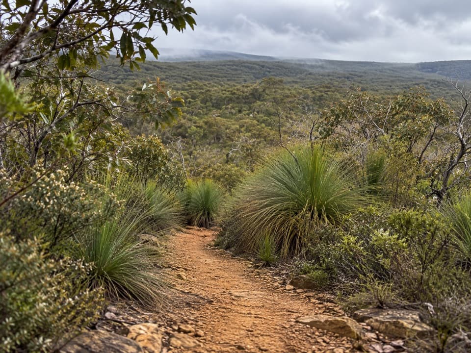
Yan Wirring Mirr Loop is a 4.5 km circuit from Bundjil Mirr Lookout through Anglesea Heath, with open ridges, damp gullies, a Salt Creek crossing and an old vehicle-track climb back to the start. It suits a short outing for varied heath and woodland. The route is described as easy to moderate; allow about two hours, or closer to two and a half if you stop to look for flowers.
The track drops through open heath and crosses Bald Hills Road before following undulating ridges among grass-trees and banksias. Views open across Bald Hills, with glimpses of Anglesea, the coast and the former mine pit. The route then dips into cooler gullies with Scented Paperbark and becomes sandy as it winds down among taller eucalypts and tea-tree. A branch leads out to Bald Hills Road as an alternative access; stay on the circuit to return to the lookout.
Salt Creek can be wet underfoot, and the damp heath around it is a good place to listen for frogs. From the creek, the track rises more gently through heath and over several small watercourses, then climbs steadily on an old vehicle track to the lookout. The start and finish share a short section of track.
This walk is especially rewarding when you take time over the heath. The route's plant list includes bush-peas, Victorian Smoke-bush, Heath Milkwort, Western Peppermint, banksias and orchids. A 2026 field report recorded Twisted Beard-heath, with its spiral leaves, and Pink Swamp-heath here. More than 100 bird species have been recorded in the surrounding heath; Yellow-tailed Black Cockatoos may pass overhead, while Common Eastern Froglets and Eastern Banjo Frogs can be heard near wetter ground.
The loop opened in 2021 and was named in consultation with Wadawurrung Traditional Owners. Yan Wirring Mirr means “walk, listen, look,” which is good advice here: the interest is in the changing vegetation and small details as much as in the lookout view. At Bundjil Mirr Lookout, frame grass-trees in the foreground to connect the heath below with the coast and former mine landscape beyond.
The approach uses gravel roads and the final 300 m of Alcoa Boundary Track; parking is near Bundjil Mirr Lookout. Lot capacity, fees, toilets and drinking water were not confirmed, so bring water. Clean footwear at the hygiene station before and after the walk to help prevent Cinnamon Fungus spread. Dogs are not allowed in Great Otway National Park.
Wildlife
 900 sightingsKoalaMost seen around 5 PMSighting map
 358 sightingsKangarooMost seen around 6 PMSighting map
 49 sightingsLittle PenguinMost seen around 8 PMSighting map
 155 sightingsEchidnaMost seen around 6 PMSighting map
 33 sightingsFur SealMost seen around 6 PMSighting map
 59 sightingsRed-necked WallabyMost seen around 6 AMSighting map
Sighting maps show where each species has been reported across Great Ocean Road. Wildlife moves, so no sighting is guaranteed.
Keep exploring
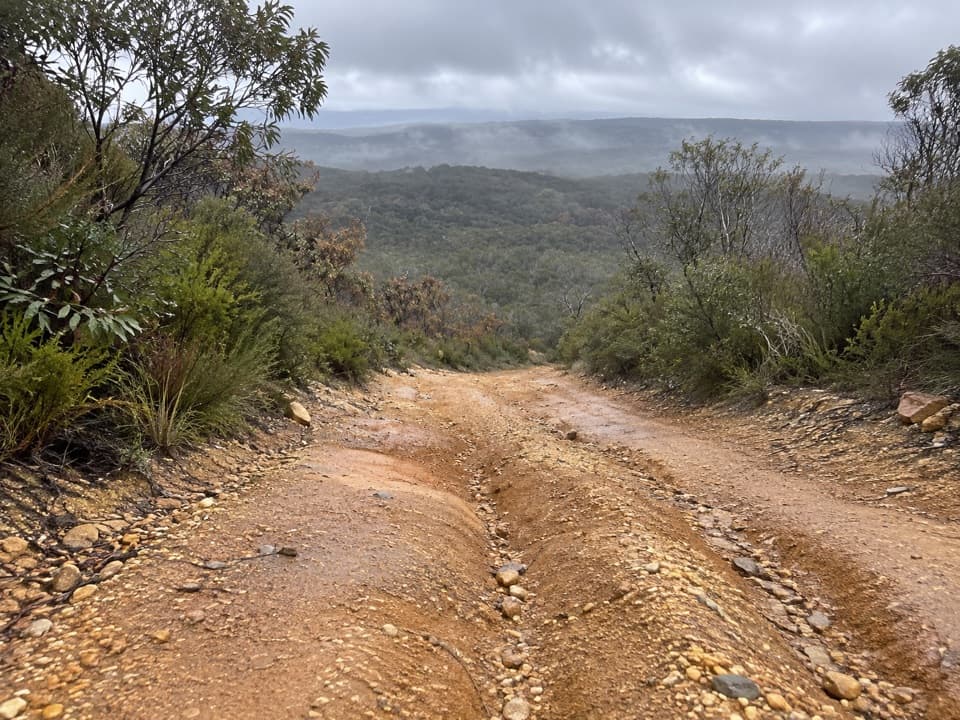 ModerateHaggarts–Allardyce Tracks7 km · 2.5 hr · 4 km awayHeathy woodland opens to ocean views and seasonal wildflowers.
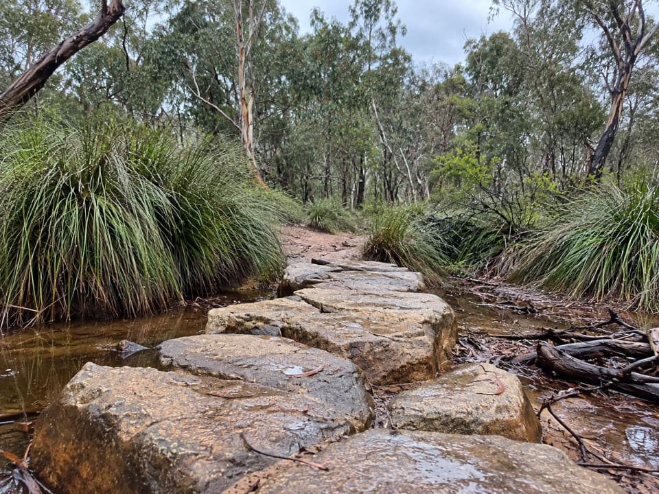 ModerateHarrison Track North7 km · 2.8 hr · 4.4 km awayFollow a sandy valley track to stepping stones and seasonal flowers.
 ModerateAnglesea Perimeter Walk22 km · 6.5 hr · 4.6 km awayA full loop from river boardwalks to heathland and clifftop views.
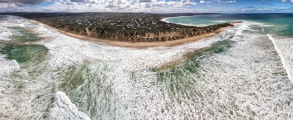 EasyPoint Roadknight Walk2.7 km · 40 min · 4.6 km awayBlufftop views reward an easy walk to Point Roadknight Beach.
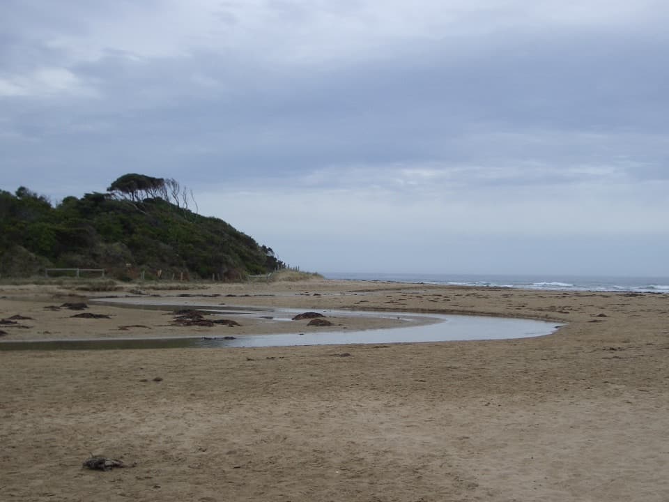 EasyAnglesea Riverbanks Walk1.4 km · 20 min · 5.1 km awayA flat river path from Anglesea’s river mouth into town.
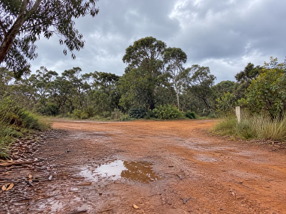 ModerateShiney Eye Circuit7.9 km · 3.5 hr · 5.3 km awayWildflowers, open heath and views over Anglesea.
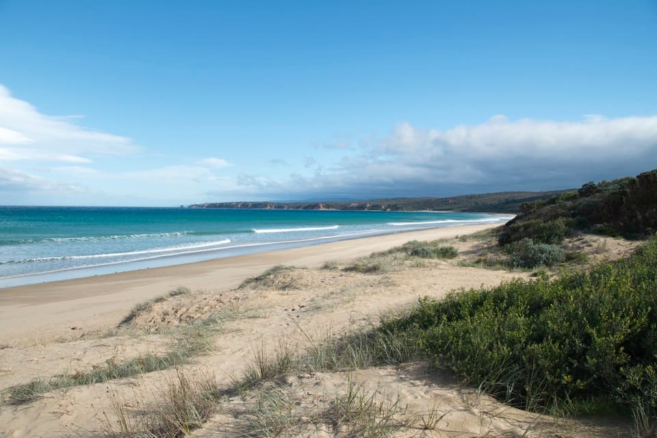 ModerateBeach Combing Walk (Point Roadknight to Urquhart Bluff)4.5 km · 1.3 hr · 5.6 km awayWalk the beach at low tide with Split Point Lighthouse in view.
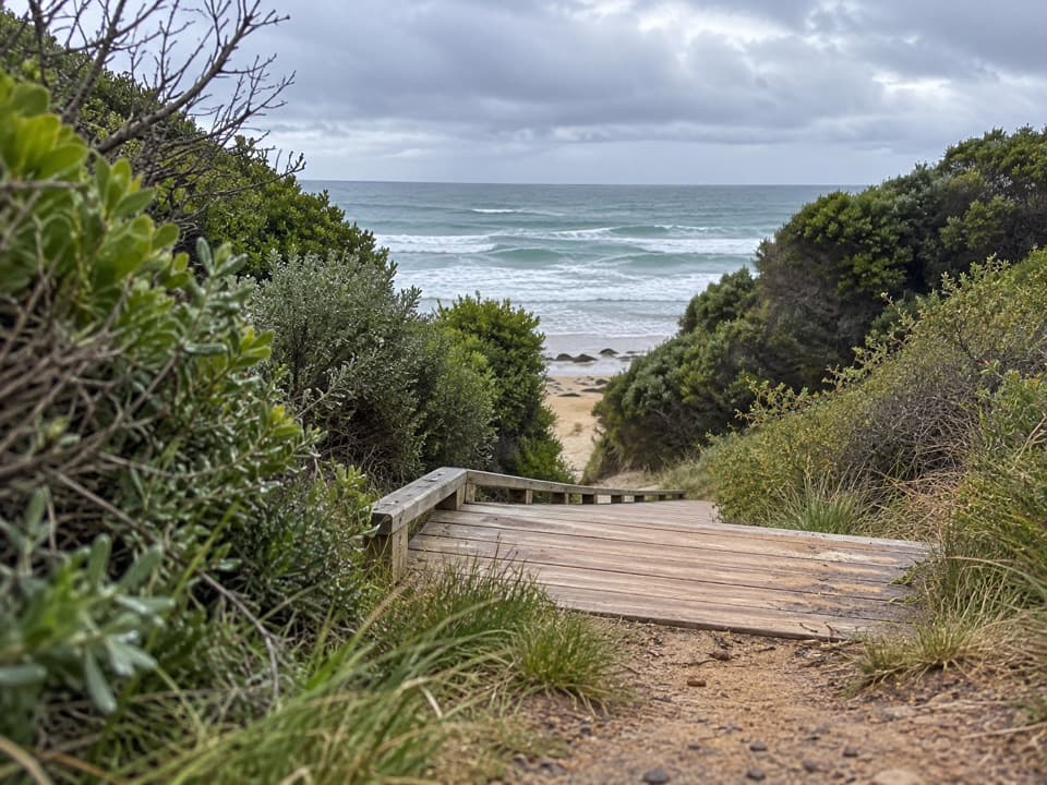 ModerateUrquhart Bluff to Sunnymead Walk3 km · 45 min · 5.9 km awayA short, rough coastal leg to Sunnymead’s secluded cove
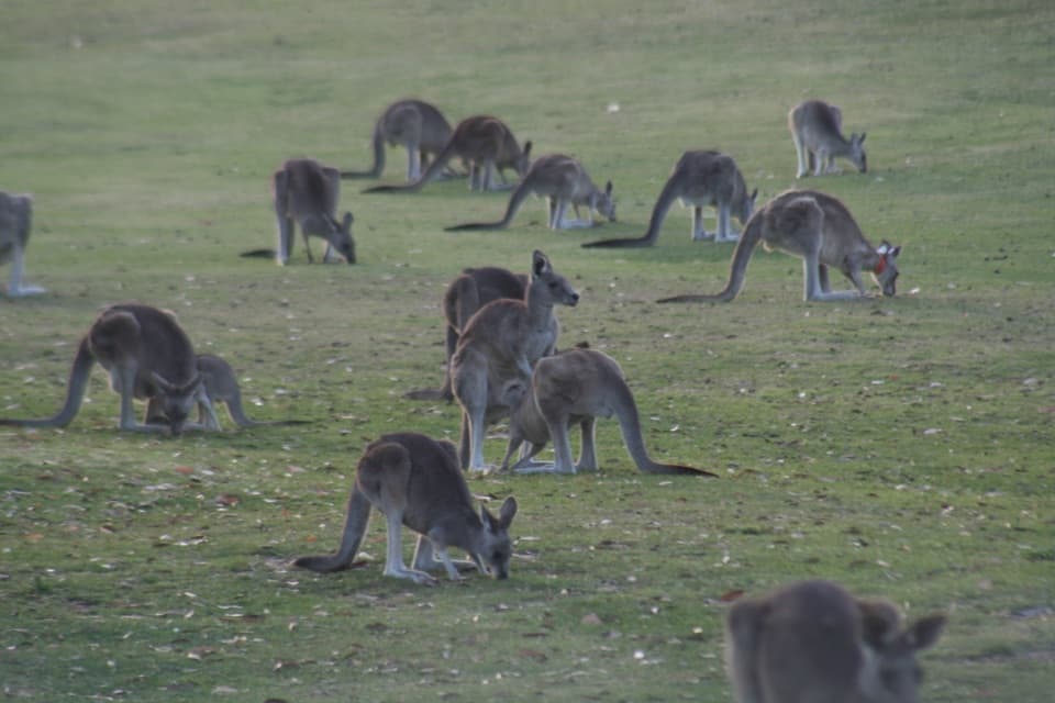 Sight · 3.2 km awayAnglesea Golf Club Kangaroo ToursA guided ride past Anglesea Golf Club’s resident kangaroos.
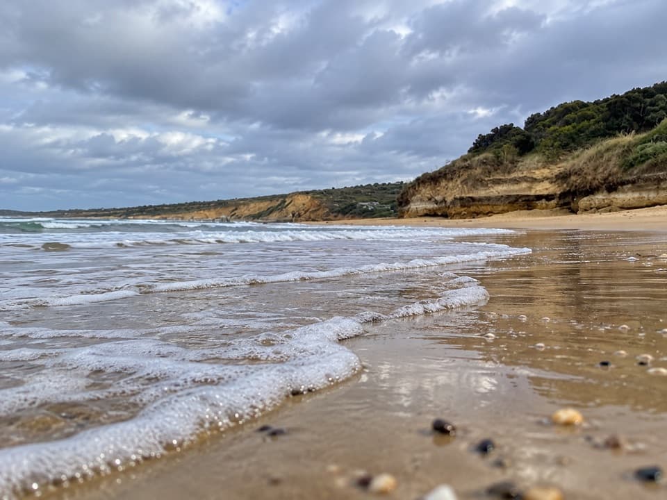 Beach · 5 km awayAnglesea Main BeachSand, surf, and the river meeting at Anglesea’s main beach.
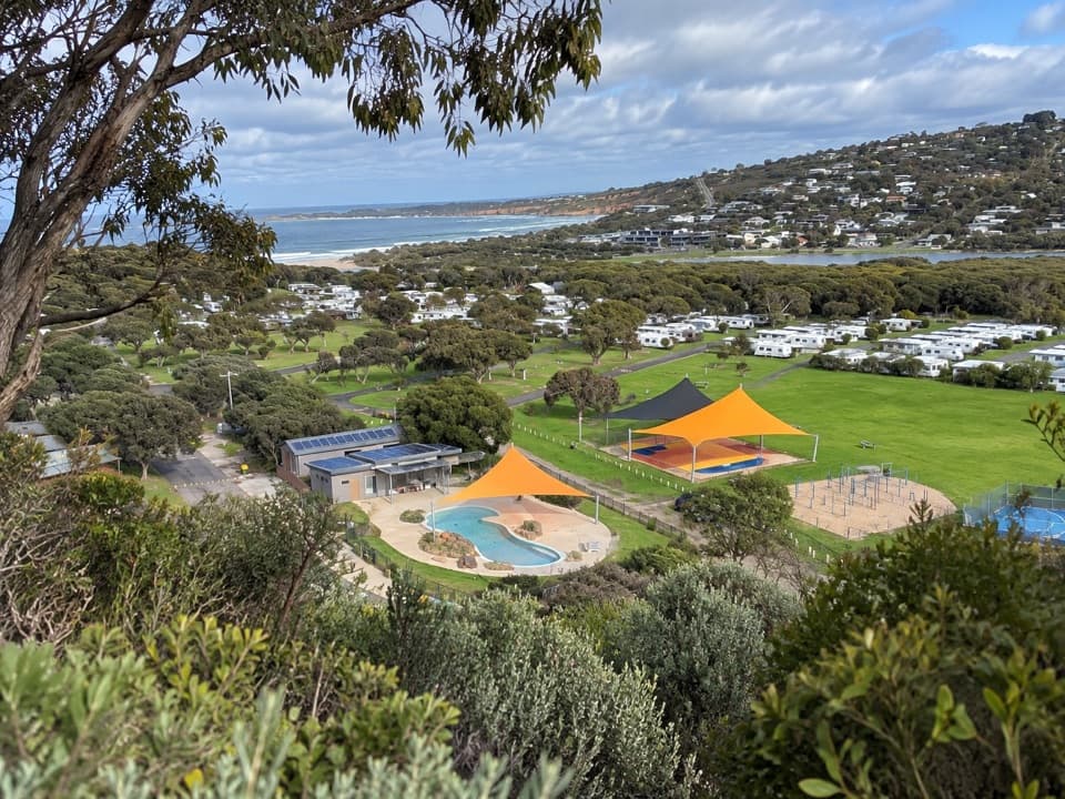 Campground · 5 km awayAnglesea Family Caravan ParkCamp beside Anglesea River, with beach and town a short walk away.Beach · 5.6 km awayPoint RoadknightA sheltered surf bay with low-tide rock pools.
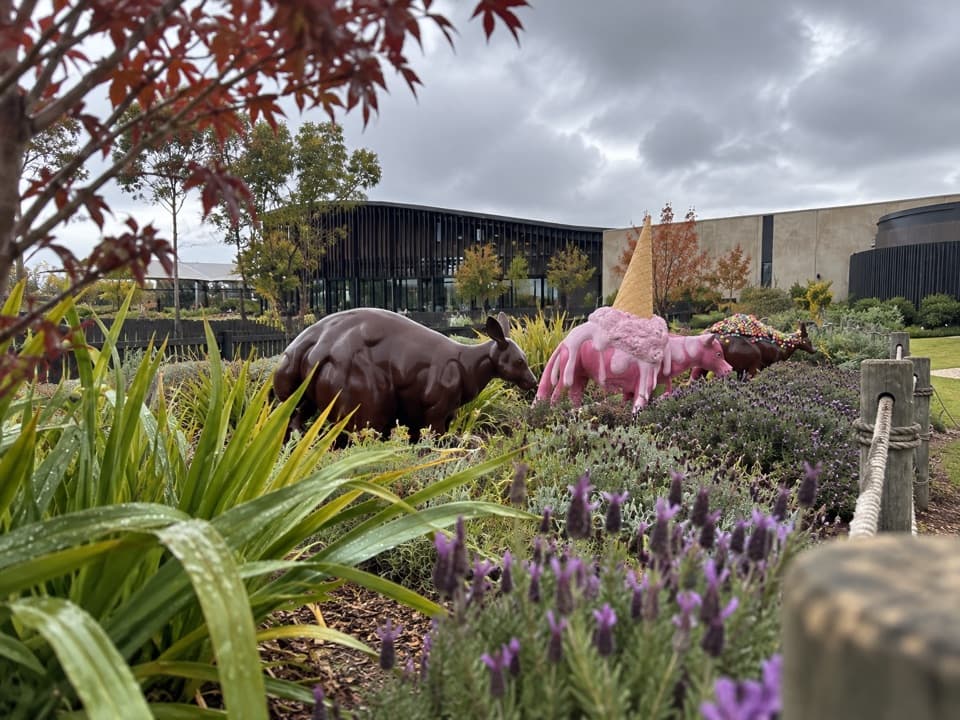 Sight · 6.1 km awayThe Chocolateries Great Ocean RoadA working chocolaterie for free samples, ice cream and lunch.
 Picnic area · 8 km awayDistillery Creek Picnic AreaShady tables and an easy forest loop off the Great Ocean Road.
 Restaurant · 9.2 km awayA La GrecqueGreek seafood, a big veranda, and a fireplace for cooler days.
 Sight · 9.2 km awayPoint Addis LookoutTwo lookouts, broad coastal views, and stairs to the beach below.
Parkwolf’s Great Ocean Road ranking

The audio tour guide for the drive, plus offline maps, trails, and wildlife heatmaps for when the signal drops.




