Parking
Ryans Den is a hike-in campground with no vehicle access. The one-way route ends at Moonlight Head car park; arrange a shuttle or pickup for the two ends before departure.

Great Ocean Road, VIC
A steep one-way coastal walk from Ryans Den to Moonlight Head
Overview
Map & elevation
Plan your hike

The highest, rockiest slopes around here are a summer buffet for grizzly bears.
Great Ocean Road Tour Guide
Parkwolf is a GPS audio tour guide for Great Ocean Road. As you drive, it chimes in with what’s ahead: hidden gems, upcoming stops, history, geology, and wildlife, right through your car’s speakers.
See the Great Ocean Road audio tourRecorded for this area
How the Otways Catch Rain“The Otway hills can make moist air give up some of its water. Air coming in from the sea is forced upward over the ranges. As it rises, it cools, and water vapour can condense into cloud and rain.”
Plays on the road 1.4 km from the trailhead in the Parkwolf Great Ocean Road Tour Guide.
More stories near here in the app
“Fantastic app with many points of information… It’s great to just turn on while you’re driving and it gives you an audio tour of the national Park. We love it!!!!”


Trail guide
This is a one-way, 5.5 km (3.4 mi) stretch of the Great Ocean Walk from Ryans Den hike-in campground west to the Moonlight Head car-park access. The mapped path takes about three hours, with repeated climbs and descents across a remote coastal ridge. It is a point-to-point leg, not a loop or a drive-up day hike at the start.
Ryans Den is a remote hike-in campground with no vehicle access. The named short itinerary ends at Moonlight Head car park, so arrange a pickup or shuttle before setting out. Treat the campground’s rainwater, and do not rely on the tanks being full; bring enough safe water and all food for the walk. Mobile reception can be unreliable along the broader route.
The path is sharply undulating, with many stairs and short, steep descents. Wet downhill sections can become technical, so take your time and leave room for careful footing. The modest distance still asks for steady legs and a sure step.
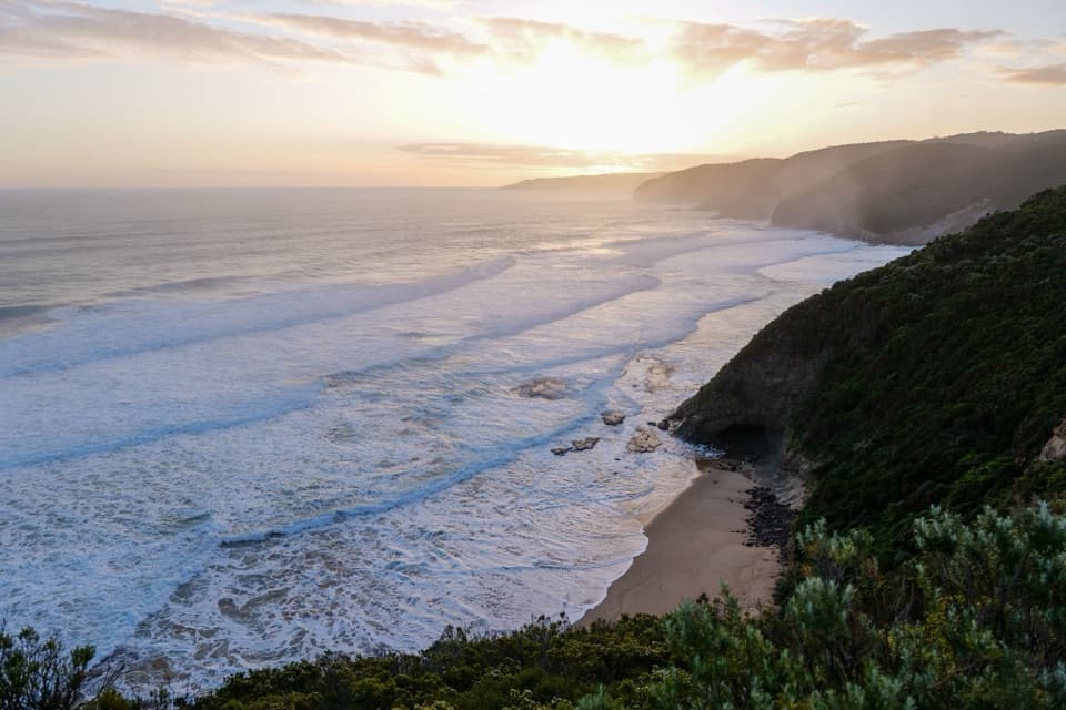
Ryans Den sits on a ridge above the ocean, and the walk continues through coastal scrub toward the headland. Look for openings across the cliffs and sea along the way. The mapped line exits at Moonlight Head car park; it does not add a side trip to the separately mapped cape point or continue west to The Gables and Wreck Beach.
Published distances for this named section vary: an official itinerary rounds the car-park-to-campground leg to 5 km, while the connected mapped line is 5.5 km; another listing gives 8.1 km without an equally clear endpoint. Longer totals may describe a different extension or a return along the same corridor. Confirm the exact pickup endpoints before relying on any distance or transfer plan. Dogs are not allowed in Great Otway National Park; assistance dogs are excepted.
Wildlife
 900 sightingsKoalaMost seen around 5 PMSighting map
 358 sightingsKangarooMost seen around 6 PMSighting map
 49 sightingsLittle PenguinMost seen around 8 PMSighting map
 155 sightingsEchidnaMost seen around 6 PMSighting map
 33 sightingsFur SealMost seen around 6 PMSighting map
 59 sightingsRed-necked WallabyMost seen around 6 AMSighting map
Sighting maps show where each species has been reported across Great Ocean Road. Wildlife moves, so no sighting is guaranteed.
Keep exploring
 ChallengingMilanesia Gate to Moonlight Head Walk11.9 km · 5 hr · 4.3 km awayA rugged coast walk where the tide decides whether you can start.ModerateMilanesia Beach Walk4 km · 1.5 hr · 4.3 km awayA steep drop to a remote beach; a harder climb back.
 EasyThe Gables Lookout Walk0.8 km · 30 min · 5 km awayA short sheoak walk opens onto Moonlight Head’s rugged coast.
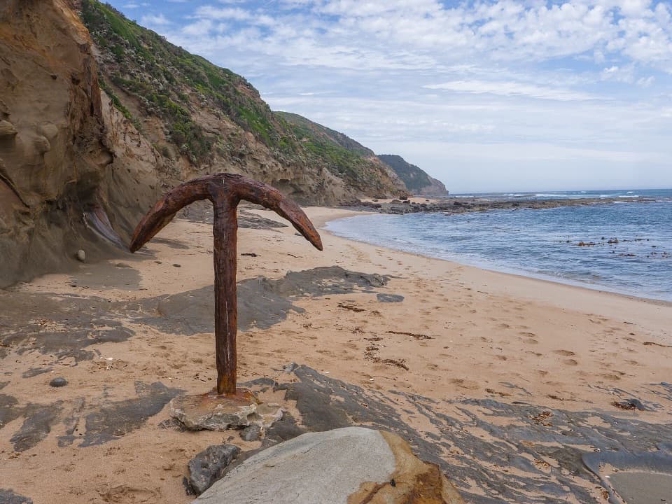 ChallengingWreck Beach Walk2.4 km · 1.5 hr · 5.5 km awayA low-tide walk to two shipwreck anchors beneath rugged cliffs.
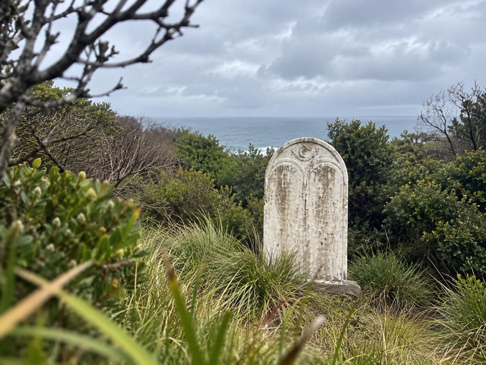 ModerateFiji Memorial Walk7 km · 2.5 hr · 5.5 km awayA coastal memorial walk with a powerful 1891 shipwreck story.
 ModerateMadsen’s Track Nature Walk1.4 km · 42 min · 10.5 km awayA shaded river loop through rainforest to Anne’s Cascades.
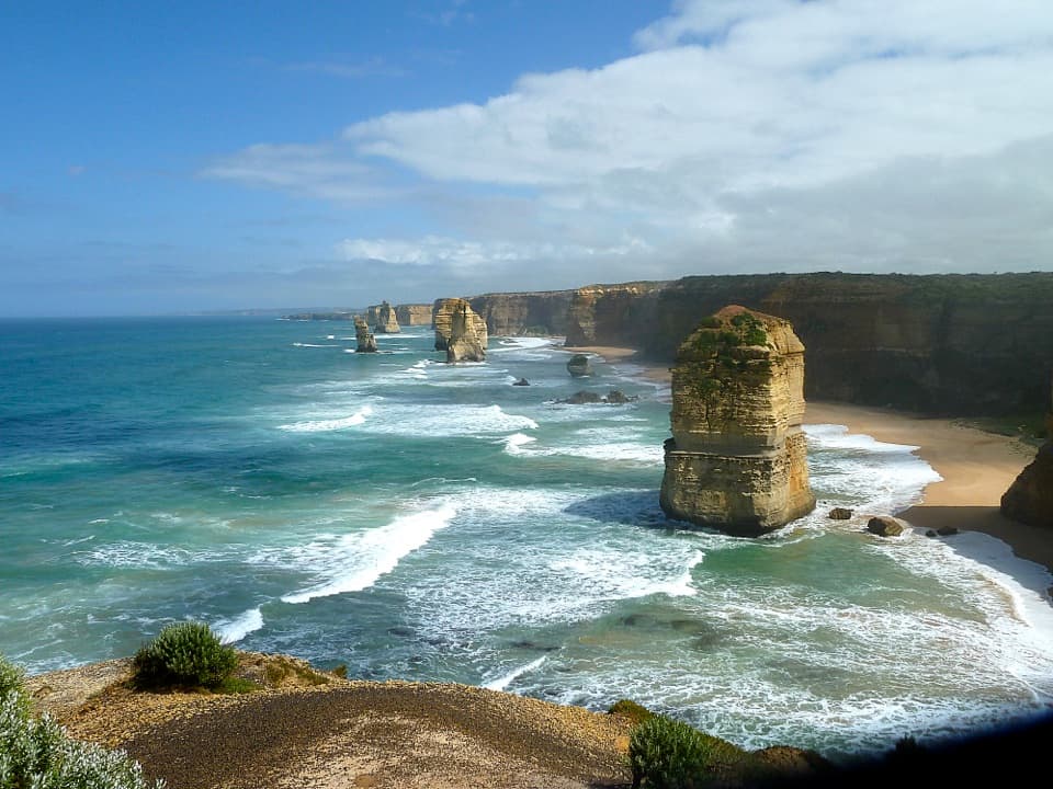 ModerateGreat Ocean Walk: Princetown to Twelve Apostles7.6 km · 2.5 hr · 12.8 km awayCross wetlands, climb sandy dunes, and finish at the Apostles.
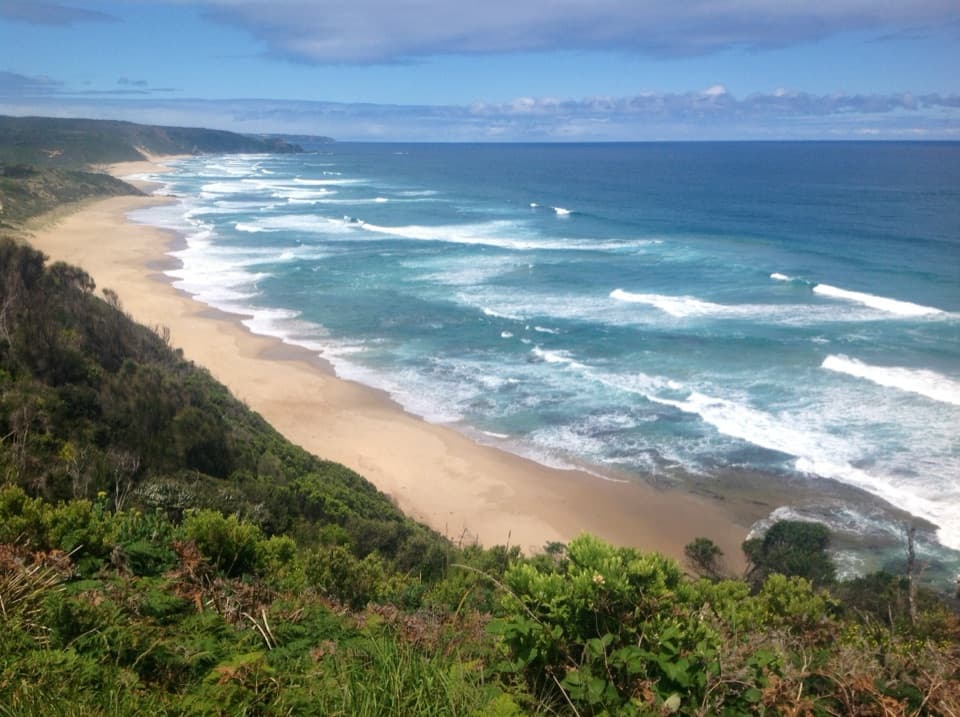 ModerateCastle Cove to Johanna Beach Walk7 km · 2.5 hr · 13.2 km awayFrom clifftop bush to Johanna’s beach and river crossing.
 Sight · 5 km awayThe Gables LookoutA short forest walk ends above Moonlight Head’s reef-fringed coast.Beach · 5.5 km awayWreck BeachTwo wreck anchors reward a steep climb to a wild beach.
 Beach · 8.8 km awayJohanna BeachA long, windswept beach with big surf and a tide-timed walk.
 Campground · 8.8 km awayJohanna Beach CampgroundA grassy coastal base a short walk from Johanna Beach.Sight · 10.6 km awayMelba Gully Day Visitor AreaA short rainforest loop; glow worms may show after dark.
 Campground · 12.2 km awayPrincetown Recreation ReserveA handy overnight camp beside the river mouth near the Twelve Apostles.
Parkwolf’s Great Ocean Road ranking

The audio tour guide for the drive, plus offline maps, trails, and wildlife heatmaps for when the signal drops.





